Five Oaks Moor

Downs, Moorland in Devon Mid Devon

England

Five Oaks Moor

Rull Farm, near West Worlington
Rull Farm, near West Worlington Credit: Philip Halling

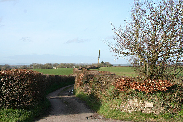
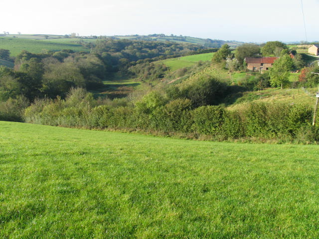
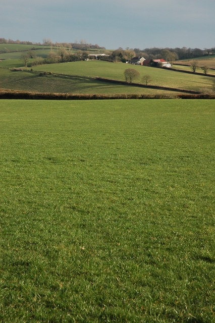
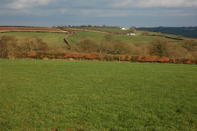
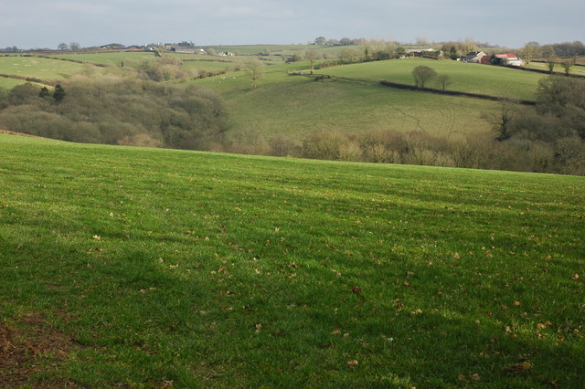
Five Oaks Moor is a picturesque area located in Devon, England. Situated on the outskirts of Dartmoor National Park, this serene landscape is a combination of downs and moorland, offering visitors a diverse and captivating natural environment.

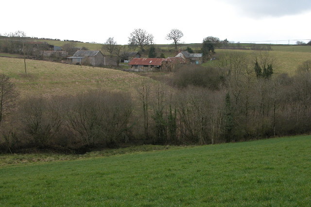
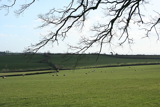
The moorland section of Five Oaks Moor is characterized by its vast expanses of heather and gorse, punctuated by clusters of ancient oak trees. This rugged terrain is home to a variety of wildlife, including ponies, deer, and a wide range of bird species. The moorland is crisscrossed by numerous footpaths and trails, making it a popular destination for hikers and nature enthusiasts.

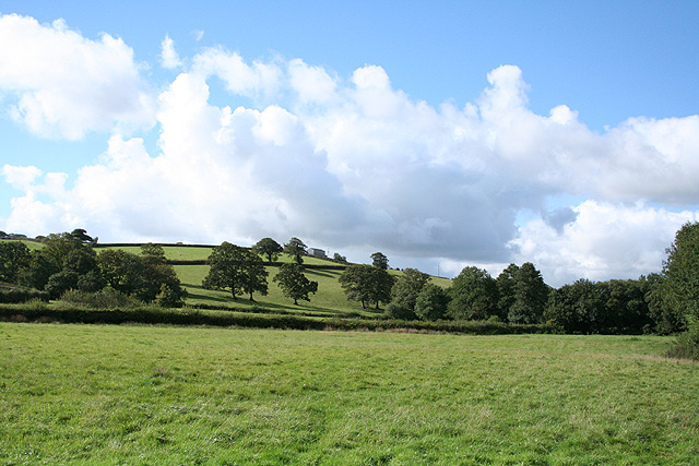
On the downs section of Five Oaks Moor, rolling hills covered with lush grasses create a more gentle and inviting landscape. The area is dotted with five magnificent oak trees, which give the moor its name. These majestic trees serve as a focal point for visitors, offering shade and a sense of tranquility.

The moorland and downs of Five Oaks Moor provide a unique opportunity for visitors to immerse themselves in the natural beauty of the Devon countryside. The combination of diverse landscapes, rich wildlife, and peaceful surroundings make it an ideal destination for those seeking a peaceful escape or a chance to reconnect with nature. Whether it's taking a leisurely stroll along the footpaths or simply sitting beneath one of the ancient oaks, Five Oaks Moor is a place that captivates and rejuvenates all who visit.

If you have any feedback on the listing, please let us know in the comments section below.

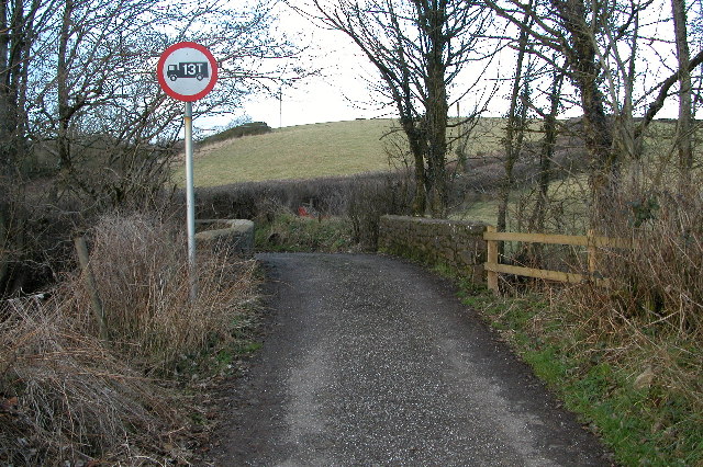
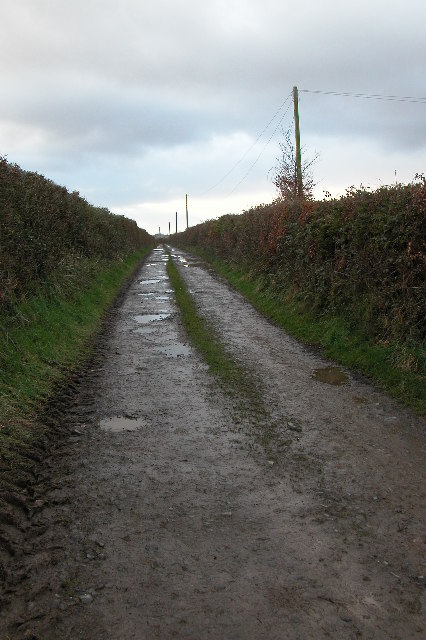
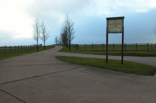
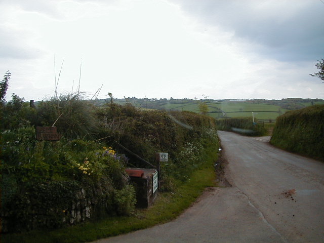
Five Oaks Moor Images

Images are sourced within 2km of 50.890948/-3.7332538 or Grid Reference SS7811. Thanks to Geograph Open Source API. All images are credited.

Rull Farm, near West Worlington
Ruston Farm, West Worlington Rushton Farm near Worlington viewed from the road to the east.
Ruston Farm, West Worlington
Rushton Farm near Worlington viewed from the road to the east.
Thelbridge church Thelbridge church is dedicated to St David.
Thelbridge church
Thelbridge church is dedicated to St David.
Thelbridge Cross Inn Country inn in the heart of Devon. See: <span class="nowrap"><a title="http://www.thelbridgexinn.co.uk/" rel="nofollow ugc noopener" href="http://www.thelbridgexinn.co.uk/">Link</a><img style="margin-left:2px;" alt="External link" title="External link - shift click to open in new window" src="https://s1.geograph.org.uk/img/external.png" width="10" height="10"/></span>
Thelbridge Cross Inn
Country inn in the heart of Devon. See: LinkExternal link
Farm at Hele Barton, near Thelbridge Cross
Cann's Mill Bridge over the river Dalch This narrow road is called Cann's Mill Bridge and crosses the River Dalch by Cann's Mill near Thelbridge.
Cann's Mill Bridge over the river Dalch
This narrow road is called Cann's Mill Bridge and crosses the River Dalch by Cann's Mill near Thelbridge.
Farm track leading to Lewdon Farm, near Thelbridge Grid square with public access only in the extreme north-east corner. The square contains the Dalch valley and Lewdon Farm.
Farm track leading to Lewdon Farm, near Thelbridge
Grid square with public access only in the extreme north-east corner. The square contains the Dalch valley and Lewdon Farm.
Entrance to campsite at Yeatheridge Farm Entrance to Yeatheridge campsite. See: <span class="nowrap"><a title="http://www.yeatheridge.co.uk/" rel="nofollow ugc noopener" href="http://www.yeatheridge.co.uk/">Link</a><img style="margin-left:2px;" alt="External link" title="External link - shift click to open in new window" src="https://s1.geograph.org.uk/img/external.png" width="10" height="10"/></span>
Entrance to campsite at Yeatheridge Farm
Entrance to Yeatheridge campsite. See: LinkExternal link
Hele Barton entrance to the farm Hele Barton looking south
Hele Barton
entrance to the farm Hele Barton looking south
Washford Pyne: by Hele Lane Bridge Looking south west in the Dalch valley. The barn on the skyline is at Horridge
Washford Pyne: by Hele Lane Bridge
Looking south west in the Dalch valley. The barn on the skyline is at Horridge
Thelbridge: village hall Now roped off. Looking east-north-east
Thelbridge: village hall
Now roped off. Looking east-north-east
Thelbridge: near Billhole Farm Looking east-south-east by the entrance to the farm
Thelbridge: near Billhole Farm
Looking east-south-east by the entrance to the farm
Thelbridge: Five Oaks Moor Looking south
Thelbridge: Five Oaks Moor
Looking south
East Worlington: lane to Halse Looking north with the farm buildings just visible below the wood on the horizon
East Worlington: lane to Halse
Looking north with the farm buildings just visible below the wood on the horizon
River Dalch valley at Lewdon Farm This hidden section of the Dalch valley (north side) is a Devon Wildlife Site.
River Dalch valley at Lewdon Farm
This hidden section of the Dalch valley (north side) is a Devon Wildlife Site.
Farmland in the Dalch Valley View across farmland above the River Dalh towards Langland Farm.
Farmland in the Dalch Valley
View across farmland above the River Dalh towards Langland Farm.
Farmland above the Dalch Valley View toward Lewdon Farm, above the River Dalch and the Dalch valley.
Farmland above the Dalch Valley
View toward Lewdon Farm, above the River Dalch and the Dalch valley.
Dalch Valley View across the Dalch Valley to Langland and Bishopsleigh in the distance.
Dalch Valley
View across the Dalch Valley to Langland and Bishopsleigh in the distance.
Show me another place!

Five Oaks Moor is located at Grid Ref: SS7811 (Lat: 50.890948, Lng: -3.7332538)

Administrative County: Devon

District: Mid Devon

Police Authority: Devon and Cornwall

What 3 Words

///swear.nips.badge. Near Witheridge, Devon

Nearby Locations

Five Oaks Moor

Related Wikis

Thelbridge

Thelbridge is a village and civil parish in Devon, England. It is 5 miles NE of Morchard Road railway station and 8½ NNW of Crediton.The local church,...

Drayford

Drayford is a village in the English county of Devon, approximately 15 miles north west of Exeter. == External links == Media related to Drayford at Wikimedia...

West Worlington

West Worlington is a small village and former civil and ecclesiastical parish, now in the civil parish of East Worlington, in the North Devon district...

Black Dog, Devon

Black Dog is a village in Mid Devon, ten miles west of Tiverton and six miles north of Crediton. The village is on one of the highest ridges of land between...

Washford Pyne

Washford Pyne is a village and civil parish in Devon, England. It is 7 miles NE of Morchard Road railway station and 8 N by W of Crediton.The local church...

East Worlington

East Worlington is a civil parish and hamlet in the North Devon administrative area, in the English county of Devon, England.In 2001, the village had 241...

Berry Castle, Black Dog

Berry Castle is an earthwork probably dating to the Iron Age close to Black Dog in Devon north of Crediton and west of Tiverton. It does not fit the traditional...

Affeton Castle

Affeton Castle is a converted late-medieval gatehouse near East Worlington, Devon, England. It was formerly part of the fortified manor house of Affeton...

Nearby Amenities

Located within 500m of 50.890948,-3.7332538
Five Oakes Moor
Place: locality
Source: NLS
Lat/Long: 50.8906355/-3.7339141
The data included in this document is from www.openstreetmap.org. The data is made available under ODbL.

Have you been to Five Oaks Moor?

Leave your review of Five Oaks Moor below (or comments, questions and feedback).