Bogrie Hill
Hill, Mountain in Dumfriesshire
Scotland
Bogrie Hill
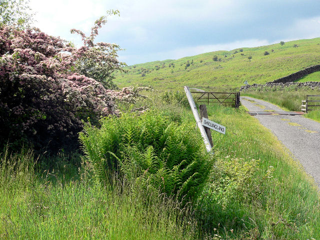
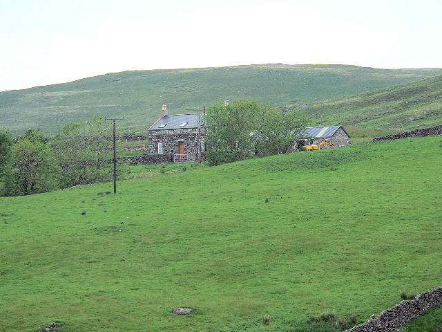
![Shillingsland A roofless ruin at the time this photograph was taken, the building has subsequently been renovated [<a title="https://www.geograph.org.uk/photo/486178" href="https://www.geograph.org.uk/photo/486178">Link</a>].](https://s1.geograph.org.uk/geophotos/05/04/57/5045781_60cd9577.jpg)
Bogrie Hill is a prominent landmark located in the region of Dumfriesshire, Scotland. It is classified as a hill, rather than a mountain, standing at an elevation of approximately 382 meters (1,253 feet). The hill is situated in the southern part of Scotland, near the village of Holywood.
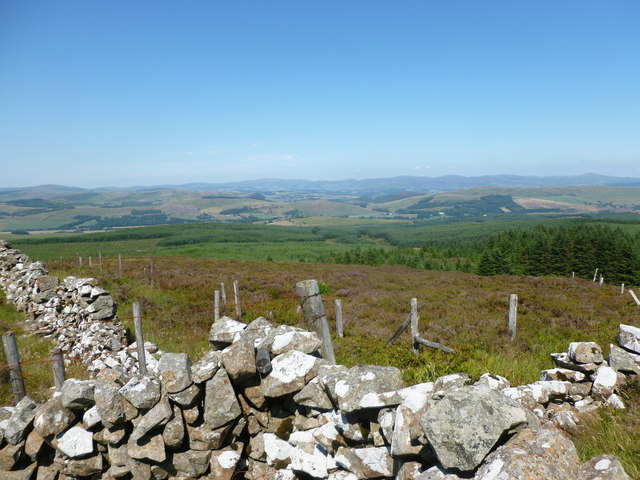
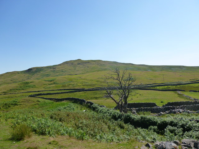
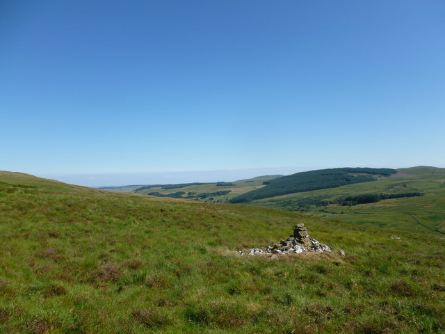
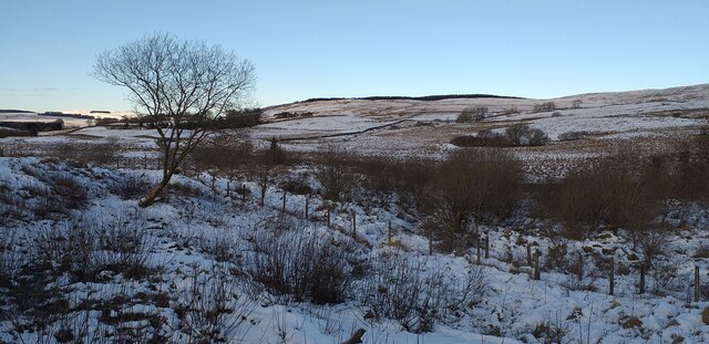
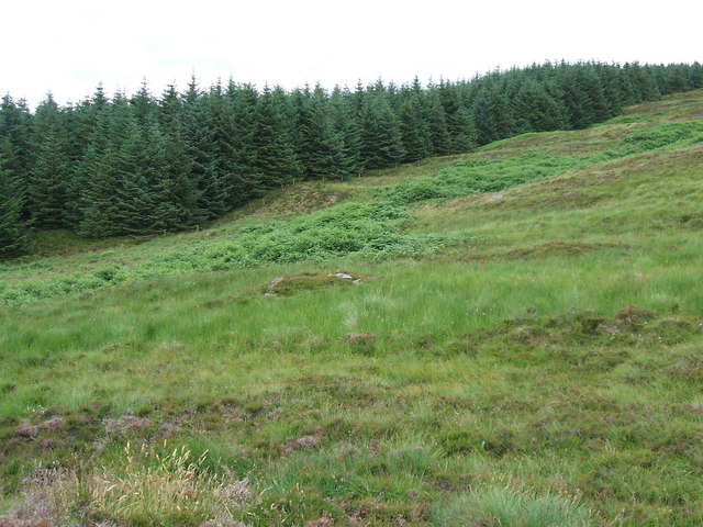
Bogrie Hill is characterized by its rounded shape and gentle slopes, making it relatively easy to navigate for hikers and outdoor enthusiasts. The hill offers stunning panoramic views of the surrounding countryside, including the picturesque Dumfries and Galloway region. On clear days, it is even possible to see as far as the Solway Firth and the Lake District in England.
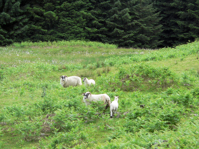
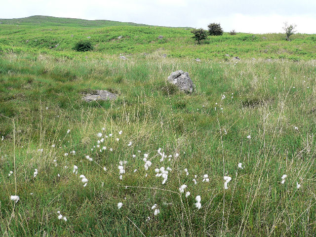
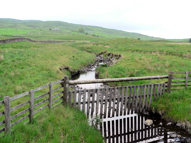
The terrain on Bogrie Hill consists mainly of grassy slopes, with patches of heather and bracken scattered across the landscape. The hill is home to a diverse range of plant and animal species, including various bird species such as curlews, lapwings, and skylarks. The area surrounding the hill is also rich in archaeological sites, with evidence of human activity dating back thousands of years.
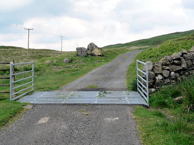
Due to its accessibility and scenic beauty, Bogrie Hill is a popular destination for outdoor activities such as hiking, walking, and nature observation. There are several trails and paths that lead to the summit, allowing visitors to explore the hill's natural wonders at their own pace. Whether seeking a peaceful retreat or an adventurous outing, Bogrie Hill offers a memorable experience for all who visit.
If you have any feedback on the listing, please let us know in the comments section below.
Bogrie Hill Images
Images are sourced within 2km of 55.152461/-3.9015899 or Grid Reference NX7885. Thanks to Geograph Open Source API. All images are credited.
![Shillingland A roofless ruin at the time this photograph was taken, the building has subsequently been renovated [<a title="https://www.geograph.org.uk/photo/486178" href="https://www.geograph.org.uk/photo/486178">Link</a>].](https://s2.geograph.org.uk/geophotos/05/04/57/5045798_9171ae7d.jpg)


Bogrie Hill is located at Grid Ref: NX7885 (Lat: 55.152461, Lng: -3.9015899)
Unitary Authority: Dumfries and Galloway
Police Authority: Dumfries and Galloway
What 3 Words
///complies.ruled.swordfish. Near Thornhill, Dumfries & Galloway
Nearby Locations
Related Wikis

Craigenputtock
Craigenputtock (usually spelled by the Carlyles as Craigenputtoch) is an estate in Scotland where Thomas Carlyle lived from 1828 to 1834. He wrote several...

Kirkland railway station
Kirkland railway station (NX810897) was one of the minor stations on the Cairn Valley Light Railway branch, from Dumfries. It served the rural area around...

Crawfordton House
Crawfordton House is a category B listed 19th-century country house, situated close to Moniaive in Dumfriesshire, Scotland. It was operated as Crawfordton...
Cademuir International School
Cademuir International School was a specialist school at Moniaive in Dumfries and Galloway, Scotland. The school, founded by Robert Mulvey in 1990, was...

Moniaive railway station
Moniaive railway station is the closed station terminus of the Cairn Valley Light Railway (CVR) branch, from Dumfries. It served the rural area of Moniaive...

Glencairn, Dumfries and Galloway
Glencairn is an ecclesiastical and civil parish in Dumfries and Galloway, Scotland. == Location == According to John Bartholomew's 1887 Gazetteer of the...
Crossford railway station
Crossford is a closed station of the Cairn Valley Light Railway branch, from Dumfries. It served the rural area of Crossford in Dumfries and Galloway...

Moniaive
Moniaive ( 'monny-IVE'; Scottish Gaelic: Am Moine Naomh, "The Holy Moor") is a village in the Parish of Glencairn, in Dumfries and Galloway, southwest...
Nearby Amenities
Located within 500m of 55.152461,-3.9015899Have you been to Bogrie Hill?
Leave your review of Bogrie Hill below (or comments, questions and feedback).