Long Brae
Downs, Moorland in Kirkcudbrightshire
Scotland
Long Brae
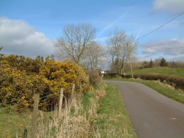
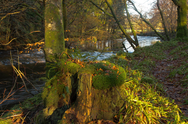
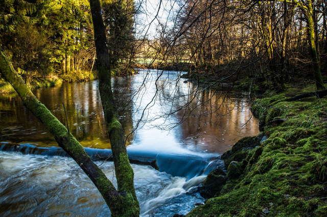
Long Brae is a picturesque area located in Kirkcudbrightshire, Scotland. Situated amidst rolling hills, it is renowned for its stunning downs and moorland landscapes. Spanning approximately several square miles, Long Brae offers an idyllic escape for nature enthusiasts and those seeking tranquility.
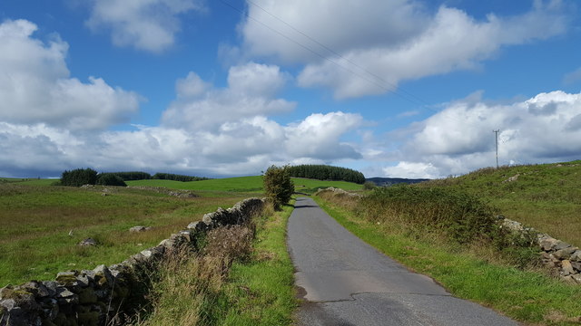
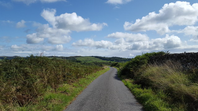
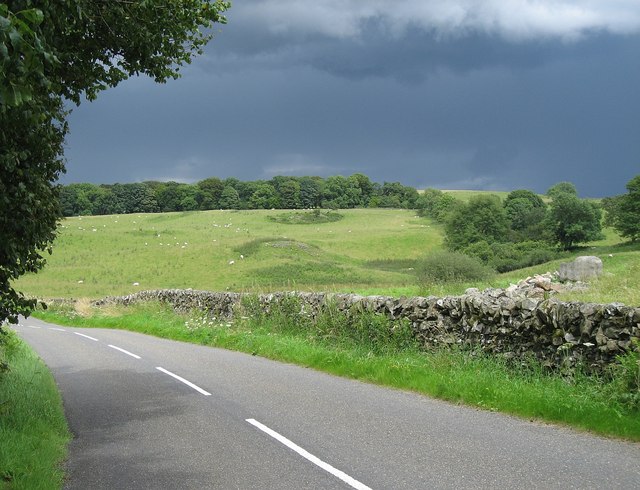
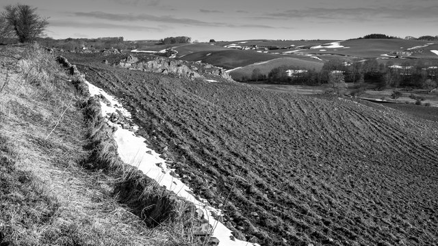
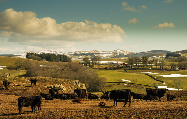
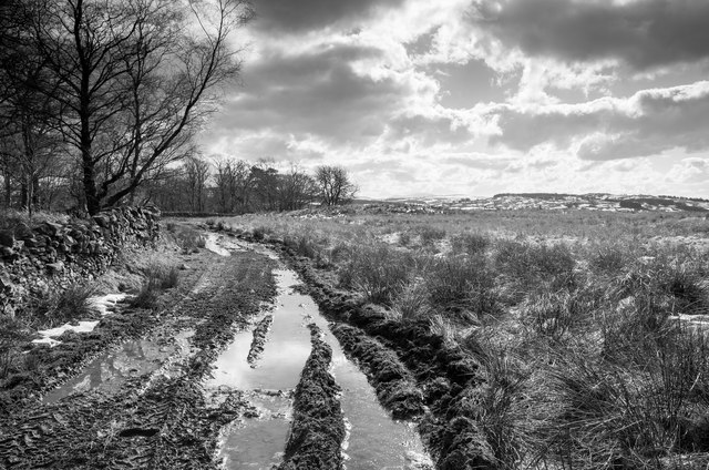
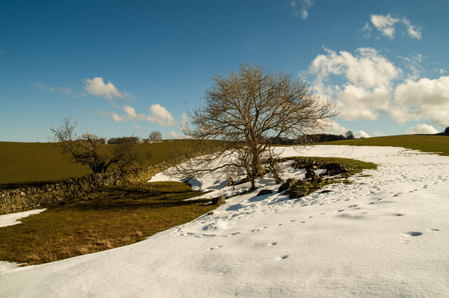
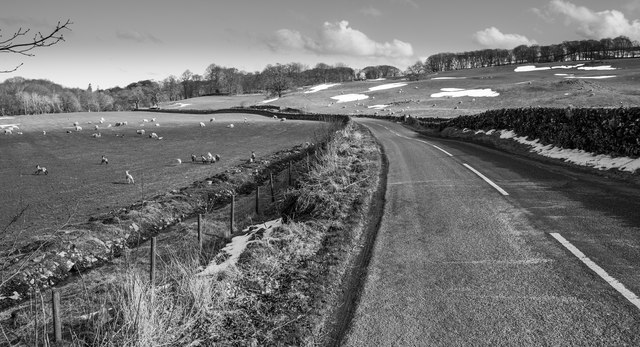
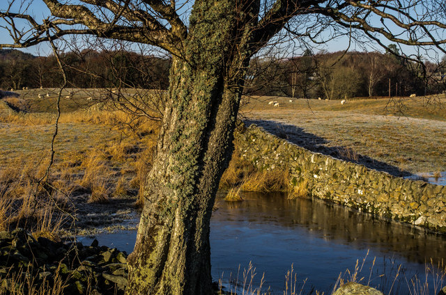
The downs in Long Brae are characterized by their gentle slopes and lush green meadows. Dotted with wildflowers and grazing sheep, these downs provide a scenic backdrop for leisurely walks or picnics. The area is also home to a variety of bird species, making it a haven for birdwatchers.
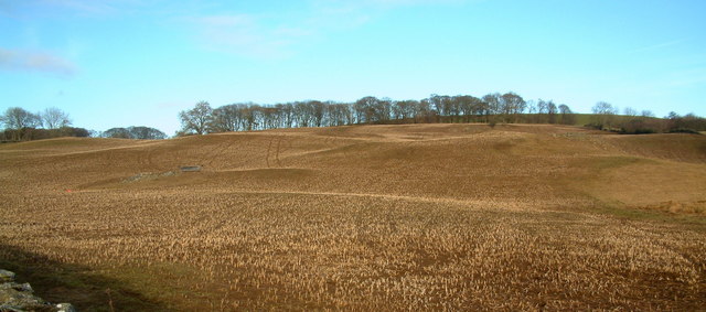
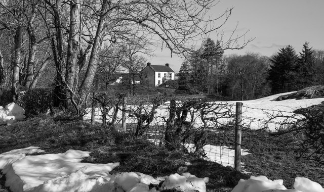
Adjacent to the downs, the moorland in Long Brae offers a more rugged and untamed terrain. Here, visitors can explore vast expanses of heather-covered hills and rocky outcrops. The moorland is known for its unique flora and fauna, including a range of wildflowers, heather, and mosses. It is not uncommon to spot red deer or other wildlife roaming freely in this area.
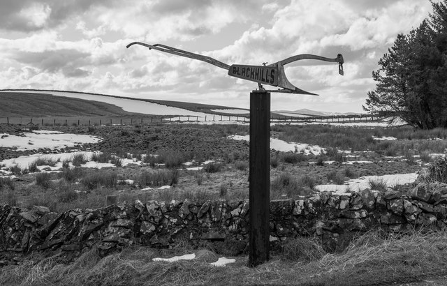
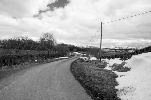
Long Brae is easily accessible, with well-maintained footpaths and trails leading visitors through its natural wonders. The area is also well-connected to nearby towns, allowing for convenient day trips or longer stays.
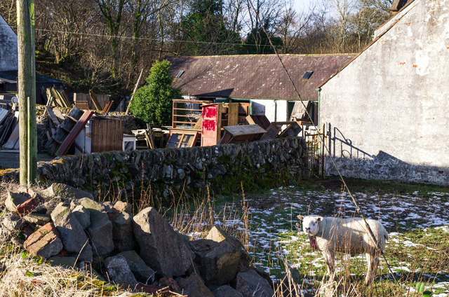
In addition to its natural beauty, Long Brae holds historical significance, with ancient ruins and archaeological sites scattered throughout its expanse. These remnants of the past provide a glimpse into the area's rich cultural heritage.
Overall, Long Brae in Kirkcudbrightshire offers a serene and captivating experience for those seeking to immerse themselves in Scotland's natural wonders. Whether exploring the downs or traversing the moorland, visitors are sure to be captivated by the area's breathtaking landscapes and abundant wildlife.
If you have any feedback on the listing, please let us know in the comments section below.
Long Brae Images
Images are sourced within 2km of 55.038686/-3.9503918 or Grid Reference NX7573. Thanks to Geograph Open Source API. All images are credited.
Long Brae is located at Grid Ref: NX7573 (Lat: 55.038686, Lng: -3.9503918)
Unitary Authority: Dumfries and Galloway
Police Authority: Dumfries and Galloway
What 3 Words
///caressing.inflates.sudden. Near Castle Douglas, Dumfries & Galloway
Nearby Locations
Related Wikis

Glenlair House
Glenlair, near the village of Corsock in the historical county of Kirkcudbrightshire, in Dumfries and Galloway, was the home of the physicist James Clerk...

Corsock
Corsock (Scottish Gaelic: Corsag) is a village in the historical county of Kirkcudbrightshire, Dumfries and Galloway, south-west Scotland. It is located...

Kilquhanity School
Kilquhanity School was one of several free schools to have been established in the United Kingdom in the twentieth century. Others include Sands School...

Kirkpatrick Durham
Kirkpatrick Durham (Scottish Gaelic: Cill Phàdraig) is a village and parish in the historical county of Kirkcudbrightshire, Dumfries and Galloway, south...
Nearby Amenities
Located within 500m of 55.038686,-3.9503918Have you been to Long Brae?
Leave your review of Long Brae below (or comments, questions and feedback).