Beenleigh Meadows

Downs, Moorland in Devon South Hams

England

Beenleigh Meadows

Stert Barton The house is listed and described at <span class="nowrap"><a title="https://historicengland.org.uk/listing/the-list/list-entry/1108319?section=official-list-entry" rel="nofollow ugc noopener" href="https://historicengland.org.uk/listing/the-list/list-entry/1108319?section=official-list-entry">Link</a><img style="margin-left:2px;" alt="External link" title="External link - shift click to open in new window" src="https://s1.geograph.org.uk/img/external.png" width="10" height="10"/></span> , and also shown at <a href="https://www.geograph.org.uk/photo/187408">SX7457 : Stert Barton</a>. In the background is Eastpark Copse.
Stert Barton Credit: Derek Harper

Beenleigh Meadows is a picturesque area located in Devon, England. Situated on the outskirts of the town of Devon (Downs, Moorland), this charming countryside destination offers visitors a serene and idyllic setting to enjoy the beauty of nature.

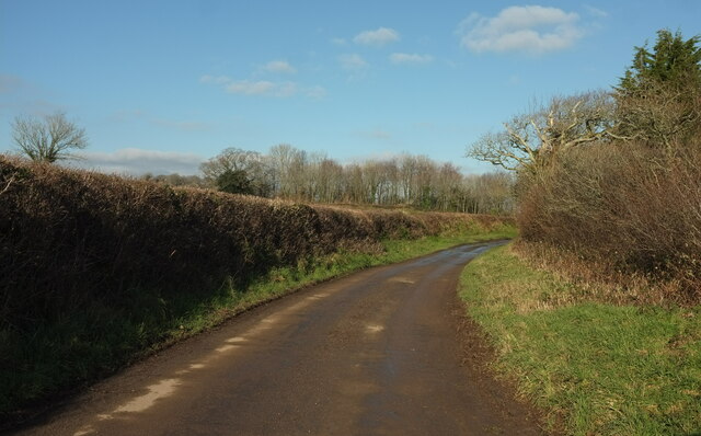
The meadows are characterized by their rolling hills covered in lush green grass, dotted with vibrant wildflowers that add a splash of color to the landscape. The area is surrounded by dense woodlands and bordered by meandering streams, creating a tranquil atmosphere for both locals and tourists alike.

Known for its diverse wildlife, Beenleigh Meadows is home to a variety of bird species, including kestrels, buzzards, and skylarks, making it a haven for birdwatching enthusiasts. The meadows also provide a habitat for numerous small mammals, such as rabbits and foxes, which can often be spotted exploring the area.

Visitors to Beenleigh Meadows can enjoy a range of outdoor activities, including peaceful walks and picnics amidst the stunning scenery. The rolling hills offer excellent opportunities for hiking and cycling, with various trails that cater to all levels of experience. Additionally, the meadows provide ample space for recreational activities like kite flying and frisbee.

The area is well-preserved, with designated conservation areas that protect the natural beauty and wildlife of Beenleigh Meadows. It is a popular destination for nature lovers and those seeking a peaceful retreat away from the bustle of city life.

Overall, Beenleigh Meadows in Devon, England, offers a serene and picturesque countryside experience, with its stunning meadows, diverse wildlife, and opportunities for outdoor recreation.

If you have any feedback on the listing, please let us know in the comments section below.

Beenleigh Meadows Images

Images are sourced within 2km of 50.404953/-3.7541713 or Grid Reference SX7557. Thanks to Geograph Open Source API. All images are credited.

Stert Barton The house is listed and described at <span class="nowrap"><a title="https://historicengland.org.uk/listing/the-list/list-entry/1108319?section=official-list-entry" rel="nofollow ugc noopener" href="https://historicengland.org.uk/listing/the-list/list-entry/1108319?section=official-list-entry">Link</a><img style="margin-left:2px;" alt="External link" title="External link - shift click to open in new window" src="https://s1.geograph.org.uk/img/external.png" width="10" height="10"/></span> , and also shown at <a href="https://www.geograph.org.uk/photo/187408">SX7457 : Stert Barton</a>. In the background is Eastpark Copse.
Stert Barton
The house is listed and described at LinkExternal link , and also shown at SX7457 : Stert Barton. In the background is Eastpark Copse.
Lane to East Leigh A different angle and season for the scene in <a href="https://www.geograph.org.uk/photo/5433247">SX7657 : Lane to East Leigh</a>.
Lane to East Leigh
A different angle and season for the scene in SX7657 : Lane to East Leigh.
Lane approaching East Leigh Taken 170 metres along the lane shown in <a href="https://www.geograph.org.uk/photo/7386942">SX7657 : Lane to East Leigh</a>.
Lane approaching East Leigh
Taken 170 metres along the lane shown in SX7657 : Lane to East Leigh.
Lane to Harbourne valley Approaching a bend with trees and a view down the valley.
Lane to Harbourne valley
Approaching a bend with trees and a view down the valley.
Harbourne River valley From the gate seen in <a href="https://www.geograph.org.uk/photo/7391249">SX7657 : Lane to Harbourne valley</a>.
Harbourne River valley
From the gate seen in SX7657 : Lane to Harbourne valley.
Hillside, Hill Mill Looking down the lane just to the right of <a href="https://www.geograph.org.uk/photo/7391250">SX7657 : Harbourne River valley</a>.
Hillside, Hill Mill
Looking down the lane just to the right of SX7657 : Harbourne River valley.
Carving by Harbourne River The tree stump shown in <a href="https://www.geograph.org.uk/photo/6187439">SX7658 : Stump by Harbourne River</a> now sports an impressive carving of a bearded goat,
Carving by Harbourne River
The tree stump shown in SX7658 : Stump by Harbourne River now sports an impressive carving of a bearded goat,
Diptford field A typical field in this richly agricultural area.
Diptford field
A typical field in this richly agricultural area.
Disused farm trailer Spotted just off the road.
Disused farm trailer
Spotted just off the road.
South Hams farmland Farmland near Lincombe farm
South Hams farmland
Farmland near Lincombe farm
Bridge near Harberton - South Hams A small road bridge over the Harbourne river just west of Harberton.
Bridge near Harberton - South Hams
A small road bridge over the Harbourne river just west of Harberton.
Yeo bridge - south Devon This building was originally the gatehouse to Sandwell old manor.
Yeo bridge - south Devon
This building was originally the gatehouse to Sandwell old manor.
Dattins Or Dottins, according to the OS map, but nothing else. Interesting gothic windows in the obviously-altered roadside cottage below the farmhouse - could it once have had some religious use? Seen looking north-east.
Dattins
Or Dottins, according to the OS map, but nothing else. Interesting gothic windows in the obviously-altered roadside cottage below the farmhouse - could it once have had some religious use? Seen looking north-east.
Murtwell A scene in this attractive hamlet in the South Hams. Looking ENE.
Murtwell
A scene in this attractive hamlet in the South Hams. Looking ENE.
Fletcher's Combe A listed farmhouse <span class="nowrap"><a title="https://www.historicengland.org.uk/listing/the-list/list-entry/1108245" rel="nofollow ugc noopener" href="https://www.historicengland.org.uk/listing/the-list/list-entry/1108245">Link</a><img style="margin-left:2px;" alt="External link" title="External link - shift click to open in new window" src="https://s1.geograph.org.uk/img/external.png" width="10" height="10"/></span> tucked into the valley side of the Beenleigh Brook. The outbuildings to the left are converted to holiday accommodation. Seen looking roughly north-west. See also <a href="https://www.geograph.org.uk/photo/5577939">SX7656 : Fletcher's Combe</a>.
Fletcher's Combe
A listed farmhouse LinkExternal link tucked into the valley side of the Beenleigh Brook. The outbuildings to the left are converted to holiday accommodation. Seen looking roughly north-west. See also SX7656 : Fletcher's Combe.
Langford Farm A farm in the Harbourne valley, sporting a converted barn (left) (plus other ripe for renovation).
Langford Farm
A farm in the Harbourne valley, sporting a converted barn (left) (plus other ripe for renovation).
Harbourne valley near East Leigh A view from the bridleway near New Barn, with Hillmill Copse on the slopes of the right-hand hill.
Harbourne valley near East Leigh
A view from the bridleway near New Barn, with Hillmill Copse on the slopes of the right-hand hill.
Beenleigh - South Devon An example of an isolated Devon farm that has been rebuilt and now houses a small community.
Beenleigh - South Devon
An example of an isolated Devon farm that has been rebuilt and now houses a small community.
Show me another place!

Beenleigh Meadows is located at Grid Ref: SX7557 (Lat: 50.404953, Lng: -3.7541713)

Administrative County: Devon

District: South Hams

Police Authority: Devon and Cornwall

What 3 Words

///myths.push.reunion. Near Totnes, Devon

Nearby Locations

Beenleigh Meadows

Related Wikis

Belsford

Belsford is a village in Devon, England. == External links == Media related to Belsford at Wikimedia Commons
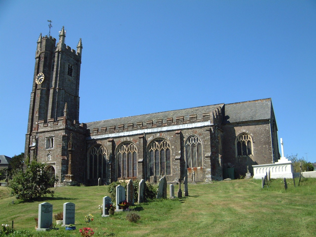
Harberton

Harberton is a village, civil parish and former manor 3 miles south west of Totnes, in the South Hams District of Devon, England. The parish includes...
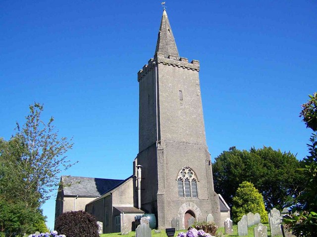
Diptford

Diptford is a village in the county of Devon, England. It is perched on a hill overlooking the River Avon. The name is believed to come from "deep ford...

Rattery

Rattery is a village and civil parish in the South Hams district, in the county of Devon, England, a few miles from the villages Buckfastleigh and neighbouring...

Avonwick railway station

Avonwick railway station is a closed railway station situated in the village of Avonwick in Devon, England. It was the first station on the Kingsbridge...

Black Hall

Black Hall is a Grade II* listed building near the village of Avonwick, in Devon, England. Previously, an older construction of Black Hall was the seat...

Avonwick

Avonwick is a village in the civil parish of North Huish, in the South Hams district, in the county of Devon, England. The River Avon runs through the...

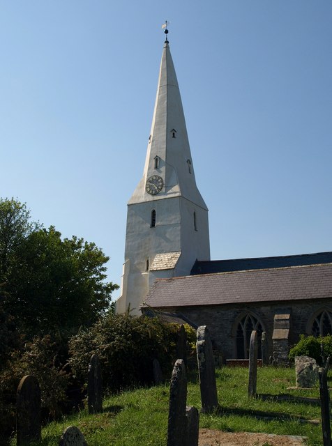
St Mary's Church, North Huish

St Mary's Church in North Huish, Devon, England was built in the 14th century. It is recorded in the National Heritage List for England as a designated...

Nearby Amenities

Located within 500m of 50.404953,-3.7541713
Generator Method: photovoltaic
Generator Output Electricity: yes
Generator Source: solar
Generator Type: solar_photovoltaic_panel
Location: roof
Power: generator
Lat/Long: 50.4073808/-3.7539151
Generator Method: photovoltaic
Generator Output Electricity: yes
Generator Source: solar
Generator Type: solar_photovoltaic_panel
Location: roof
Power: generator
Lat/Long: 50.4065731/-3.7515937
Generator Method: photovoltaic
Generator Output Electricity: yes
Generator Source: solar
Generator Type: solar_photovoltaic_panel
Location: roof
Power: generator
Lat/Long: 50.4065859/-3.7515025
Generator Method: photovoltaic
Generator Output Electricity: yes
Generator Source: solar
Generator Type: solar_photovoltaic_panel
Location: roof
Power: generator
Lat/Long: 50.4065594/-3.7514864
The data included in this document is from www.openstreetmap.org. The data is made available under ODbL.

Have you been to Beenleigh Meadows?

Leave your review of Beenleigh Meadows below (or comments, questions and feedback).