White Hill
Hill, Mountain in Kirkcudbrightshire
Scotland
White Hill
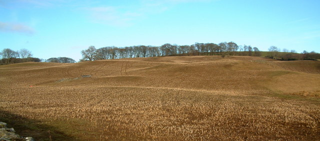
White Hill is a prominent hill located in Kirkcudbrightshire, Scotland. Situated near the town of Gatehouse of Fleet, it is part of the wider Galloway Hills range. Standing at an elevation of approximately 721 meters (2,365 feet), it offers breathtaking panoramic views of the surrounding landscape.
The hill, characterized by its distinct white appearance, owes its name to the presence of white granite rocks that can be found on its slopes. These rocks, combined with the lush greenery of the surrounding fields and forests, create a picturesque and idyllic setting.
White Hill is a popular destination for outdoor enthusiasts and hillwalkers due to its accessibility and stunning vistas. Several well-defined trails and footpaths lead to the summit, making it an ideal location for both experienced hikers and those seeking a leisurely stroll. The climb to the top can be challenging at times, particularly in inclement weather, but the rewarding views make it well worth the effort.
From the summit of White Hill, one can enjoy uninterrupted views of the rolling hills and valleys of Kirkcudbrightshire. On a clear day, it is possible to see as far as the Solway Firth and even glimpse the mountains of the Lake District in England.
Overall, White Hill is a captivating natural landmark that showcases the beauty of Kirkcudbrightshire's countryside. Its combination of stunning views, diverse flora and fauna, and accessibility make it a must-visit destination for nature lovers and adventure seekers alike.
If you have any feedback on the listing, please let us know in the comments section below.
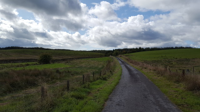
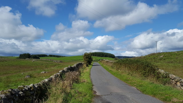
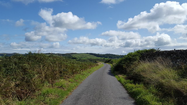
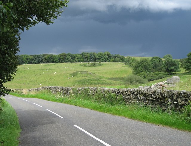
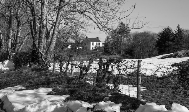
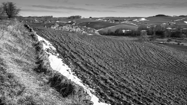
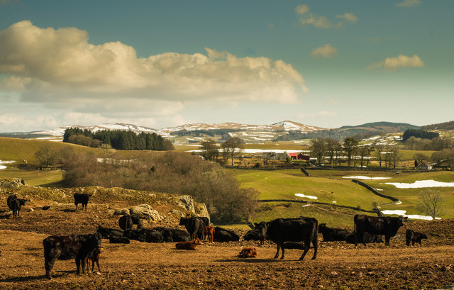
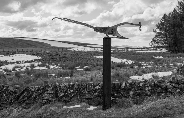
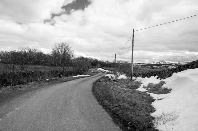
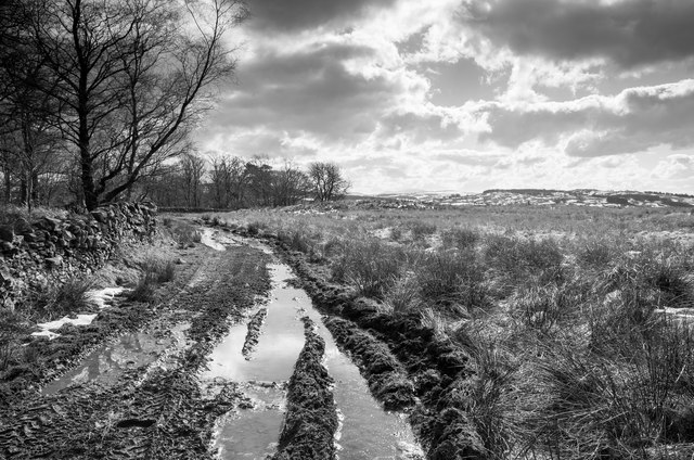
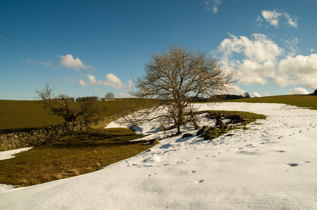
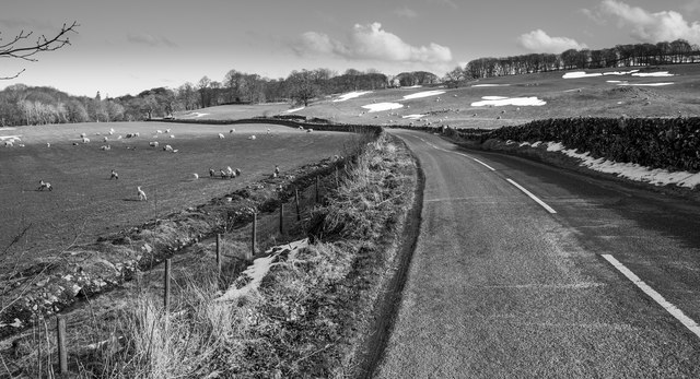
White Hill Images
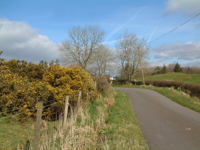
Images are sourced within 2km of 55.039692/-3.9554959 or Grid Reference NX7573. Thanks to Geograph Open Source API. All images are credited.


White Hill is located at Grid Ref: NX7573 (Lat: 55.039692, Lng: -3.9554959)
Unitary Authority: Dumfries and Galloway
Police Authority: Dumfries and Galloway
What 3 Words
///eruptions.snipped.squaring. Near Castle Douglas, Dumfries & Galloway
Nearby Locations
Related Wikis

Glenlair House
Glenlair, near the village of Corsock in the historical county of Kirkcudbrightshire, in Dumfries and Galloway, was the home of the physicist James Clerk...

Corsock
Corsock (Scottish Gaelic: Corsag) is a village in the historical county of Kirkcudbrightshire, Dumfries and Galloway, south-west Scotland. It is located...

Kilquhanity School
Kilquhanity School was one of several free schools to have been established in the United Kingdom in the twentieth century. Others include Sands School...

Kirkpatrick Durham
Kirkpatrick Durham (Scottish Gaelic: Cill Phàdraig) is a village and parish in the historical county of Kirkcudbrightshire, Dumfries and Galloway, south...
Nearby Amenities
Located within 500m of 55.039692,-3.9554959Have you been to White Hill?
Leave your review of White Hill below (or comments, questions and feedback).