Aber-oer

Settlement in Denbighshire

Wales

Aber-oer

Autumnal woodland Above Nant Bridge.
Autumnal woodland Credit: John H Darch

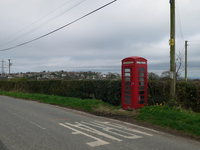
Aber-oer is a small village located in Denbighshire, Wales. Situated in the scenic countryside, it is nestled between the towns of Corwen and Bala. The village is known for its picturesque surroundings, with rolling hills, green pastures, and the River Dee meandering through its landscape.

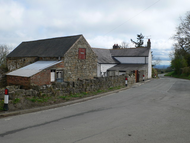
Aber-oer is a close-knit community with a population of around 200 residents. The village boasts a peaceful and tranquil atmosphere, making it an ideal retreat for those seeking a break from the hustle and bustle of city life. The residents take great pride in their village, and there is a strong sense of community spirit.

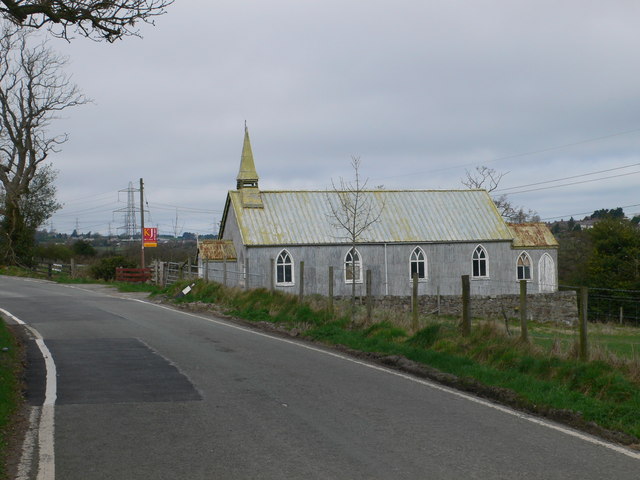
Although small in size, Aber-oer offers a range of amenities for its residents. There is a local pub, The River's Edge, where locals and visitors alike can enjoy a drink or a meal while taking in the beautiful views of the surrounding countryside. The village also has a primary school, providing education for the younger members of the community.

For outdoor enthusiasts, Aber-oer is a haven for nature lovers. The village is surrounded by stunning walking trails, offering opportunities for hiking and exploring the countryside. The nearby River Dee is a popular spot for fishing, attracting anglers from near and far.

Overall, Aber-oer is a charming village that offers a peaceful and idyllic lifestyle in the heart of the Denbighshire countryside. Its natural beauty and strong community spirit make it an attractive place to live or visit for those seeking a slice of rural Welsh life.

If you have any feedback on the listing, please let us know in the comments section below.
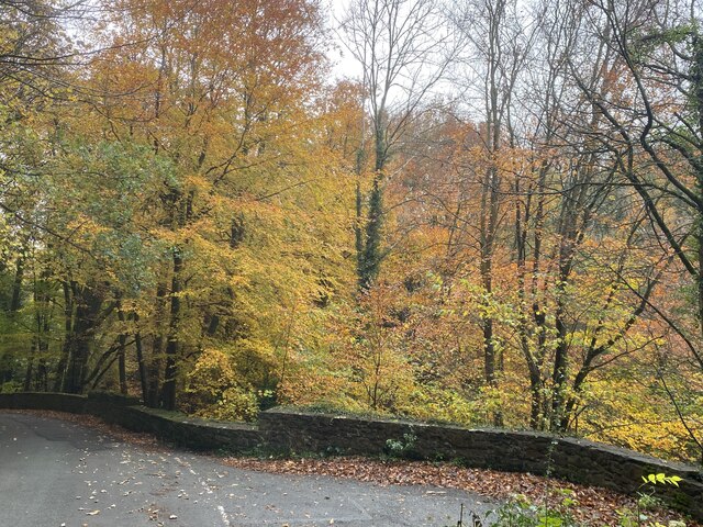
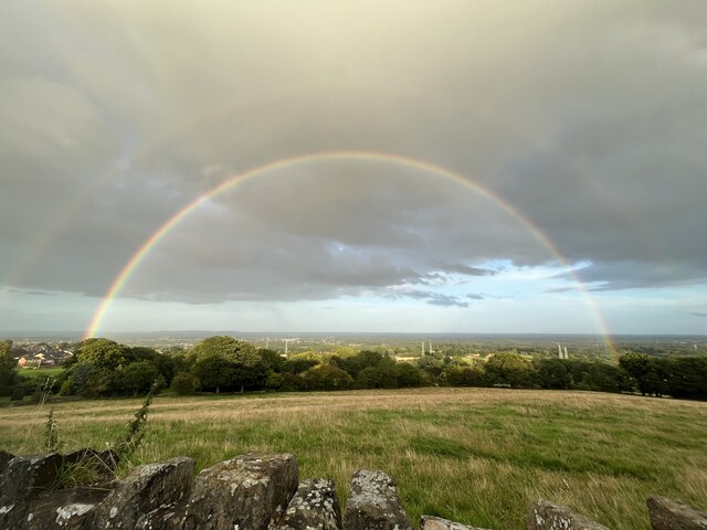
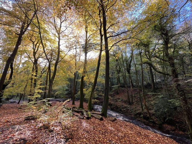
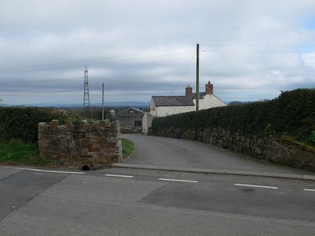
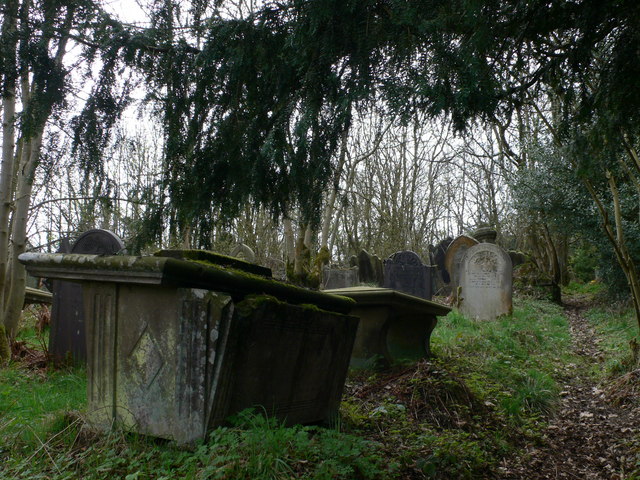
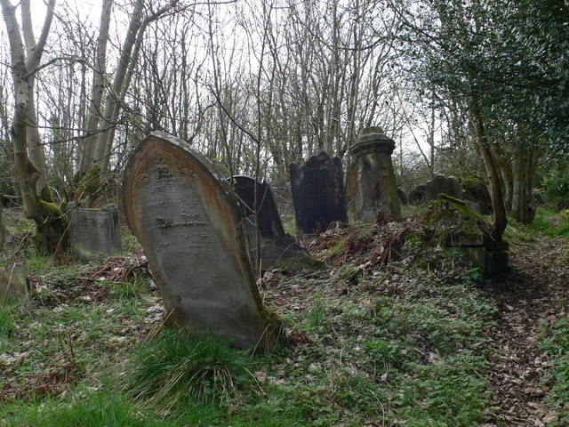
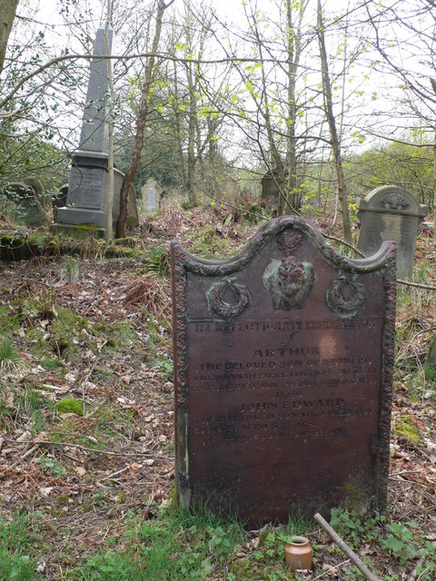
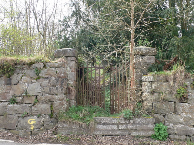
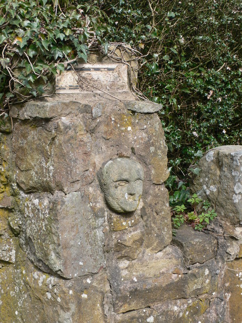
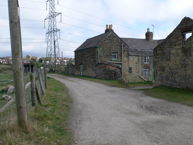
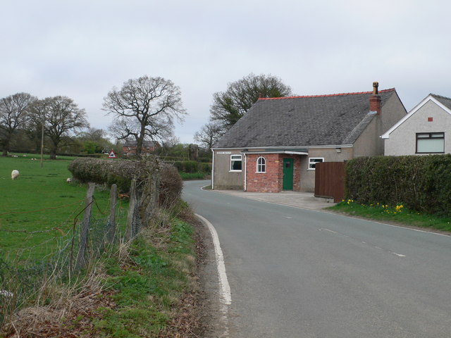
Aber-oer Images

Images are sourced within 2km of 53.033859/-3.063981 or Grid Reference SJ2849. Thanks to Geograph Open Source API. All images are credited.

Autumnal woodland Above Nant Bridge.
Autumnal woodland
Above Nant Bridge.
Double rainbow glory Stunning display through a heavy rain shower.
Double rainbow glory
Stunning display through a heavy rain shower.
Autumn splendour
Autumn splendour
Hillside Farm at Wern, near Coedpoeth The farm overlooks the valley of the Clywedog.
Hillside Farm at Wern, near Coedpoeth
The farm overlooks the valley of the Clywedog.
Telephone box on the B5426 at Wern In the distance, and the other side of the Clywedog valley, is Coedpoeth.
Telephone box on the B5426 at Wern
In the distance, and the other side of the Clywedog valley, is Coedpoeth.
St Andrew's Church - for sale Though the noticeboard on the church still promises a service at 3.30.
St Andrew's Church - for sale
Though the noticeboard on the church still promises a service at 3.30.
St Andrew's Mission Church, Wern Suitably rustic noticeboard on St Andrew's Church, Wern, though the church is now for sale.
St Andrew's Mission Church, Wern
Suitably rustic noticeboard on St Andrew's Church, Wern, though the church is now for sale.
Wern Farm, south of Minera
Dilapidated graveyard at Wern You nearly miss this very overgrown graveyard when walking along the road - it is hidden behind a stone wall. The graves are all higgledy-piggledy.
Dilapidated graveyard at Wern
You nearly miss this very overgrown graveyard when walking along the road - it is hidden behind a stone wall. The graves are all higgledy-piggledy.
Neglected graveyard at Wern, near Minera Another view of the graveyard <a href="https://www.geograph.org.uk/photo/2346889">SJ2750 : Dilapidated graveyard at Wern</a> - strangely in these days of health and safety issues, the gravestones have been left at all angles.
Neglected graveyard at Wern, near Minera
Another view of the graveyard SJ2750 : Dilapidated graveyard at Wern - strangely in these days of health and safety issues, the gravestones have been left at all angles.
Child's gravestone, at Wern Marking the grave of two children, one aged only 4 days, of Edward and Hannah Parry of Llwynenion. The stone stands out because of its colour, and the fact that it is quite upright in this graveyard which is otherwise very neglected.
Child's gravestone, at Wern
Marking the grave of two children, one aged only 4 days, of Edward and Hannah Parry of Llwynenion. The stone stands out because of its colour, and the fact that it is quite upright in this graveyard which is otherwise very neglected.
Gateway to the neglected graveyard at Wern
Face in the wall Carved head in the gatepost of a house at Wern.
Face in the wall
Carved head in the gatepost of a house at Wern.
Run-down farm to the south of Minera
Detail on St Andrew's Mission Church, Wern Close up of the roof of the porch on the corrugated iron building that houses the church.
Detail on St Andrew's Mission Church, Wern
Close up of the roof of the porch on the corrugated iron building that houses the church.
B5097 near Bersham
B5097 near Bersham
St Mary's Church, Bersham
Weir on the River Clywedog
Show me another place!

Aber-oer is located at Grid Ref: SJ2849 (Lat: 53.033859, Lng: -3.063981)

Unitary Authority: Wrexham

Police Authority: North Wales

What 3 Words

///stop.cherished.newsprint. Near Coedpoeth, Wrexham

Nearby Locations

Aber-oer

Related Wikis

Esclusham

Esclusham (Welsh: Esclus or Esclys) is a community and electoral ward in Wrexham County Borough, Wales. The community includes the villages of Bersham...

Aberoer

Aberoer or Aber-oer (Welsh: [abɛrˈɔɨr] ) is a scattered settlement in Wrexham County Borough, Wales; prior to 1974 it was in Denbighshire. It is part of...

Legacy railway station

Legacy railway station was built close to the location of the disused Legacy Colliery when the Great Western Railway built the Rhos Branch in 1901. The...

Nant Mill

Nant Mill is a country park in Wrexham County Borough, Wales. It is managed by Wrexham County Borough Council and named after a historic corn mill located...

Nearby Amenities

Located within 500m of 53.033859,-3.063981
Power: tower
Lat/Long: 53.0376496/-3.0625978
Power: tower
Lat/Long: 53.0348539/-3.0606007
Power: tower
Lat/Long: 53.037392/-3.0619085
Power: tower
Lat/Long: 53.0349689/-3.0601966
Power: tower
Lat/Long: 53.0322316/-3.0587592
Power: tower
Lat/Long: 53.037558/-3.0664107
Power: tower
Lat/Long: 53.0308199/-3.0587192
Power: tower
Lat/Long: 53.0323303/-3.0616852
Power: tower
Lat/Long: 53.0350035/-3.0640777
Power: pole
Lat/Long: 53.031405/-3.0577306
Power: pole
Lat/Long: 53.0319292/-3.0573524
Power: pole
Lat/Long: 53.032776/-3.0572049
Power: pole
Lat/Long: 53.0335857/-3.0578835
Power: pole
Lat/Long: 53.0342841/-3.0584709
Power: pole
Lat/Long: 53.0350293/-3.0590932
Power: pole
Lat/Long: 53.0358309/-3.059761
Power: pole
Lat/Long: 53.0365873/-3.0603994
Power: pole
Lat/Long: 53.0372099/-3.0609224
Power: pole
Lat/Long: 53.0379953/-3.0615823
Aberoer
Alt Name: Aber-oer
Alt Name En: Aber-oer
Name Cy: Aber-oer
Name En: Aberoer
Place: hamlet
Wikidata: Q48815851
Lat/Long: 53.0337506/-3.0647671
The data included in this document is from www.openstreetmap.org. The data is made available under ODbL.

Have you been to Aber-oer?

Leave your review of Aber-oer below (or comments, questions and feedback).