Abernyte

Settlement in Perthshire

Scotland

Abernyte

Pile of snow at Scottish Antique and Art Centre, Abernyte
Pile of snow at Scottish Antique and Art Centre, Abernyte Credit: Sandy Gerrard

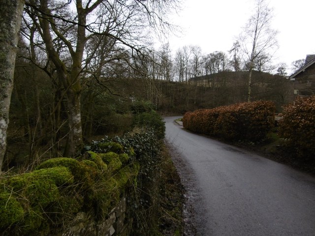
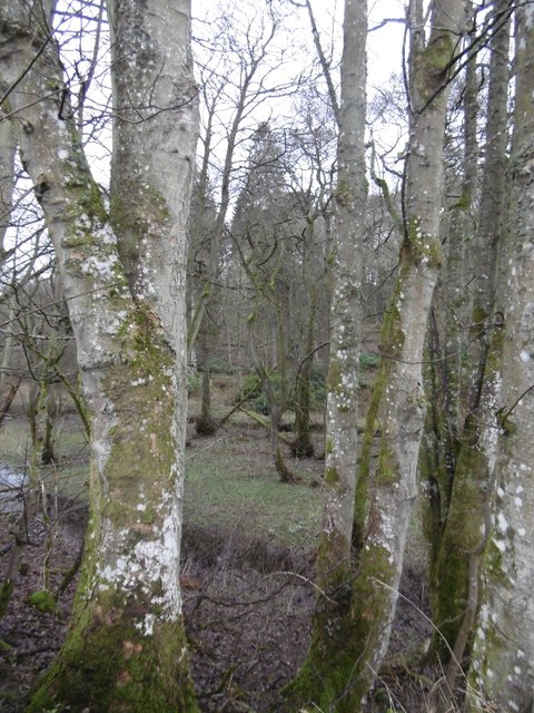
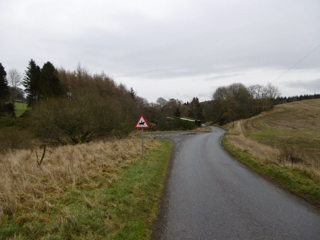
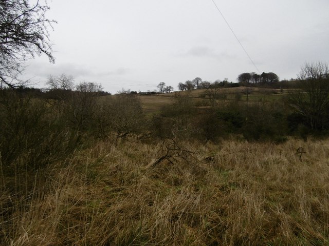
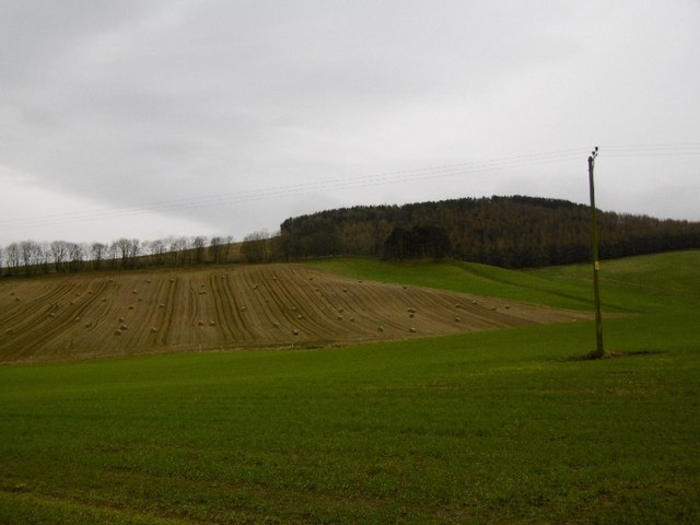
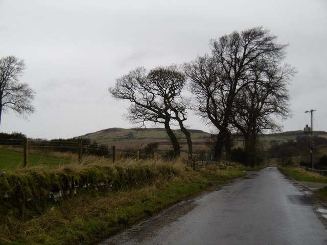
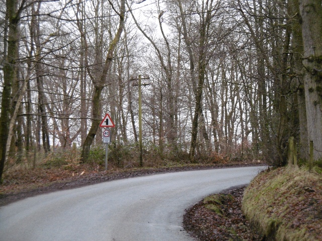
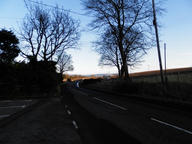
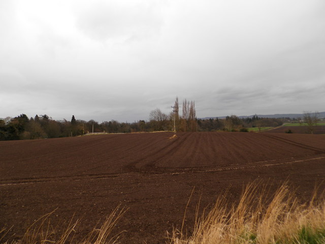
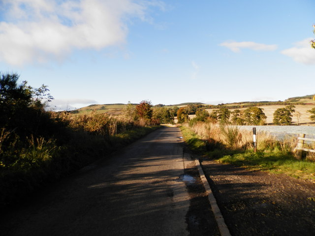
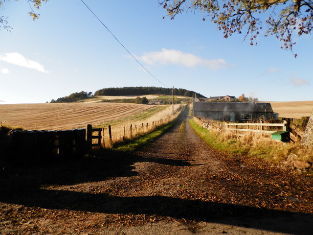
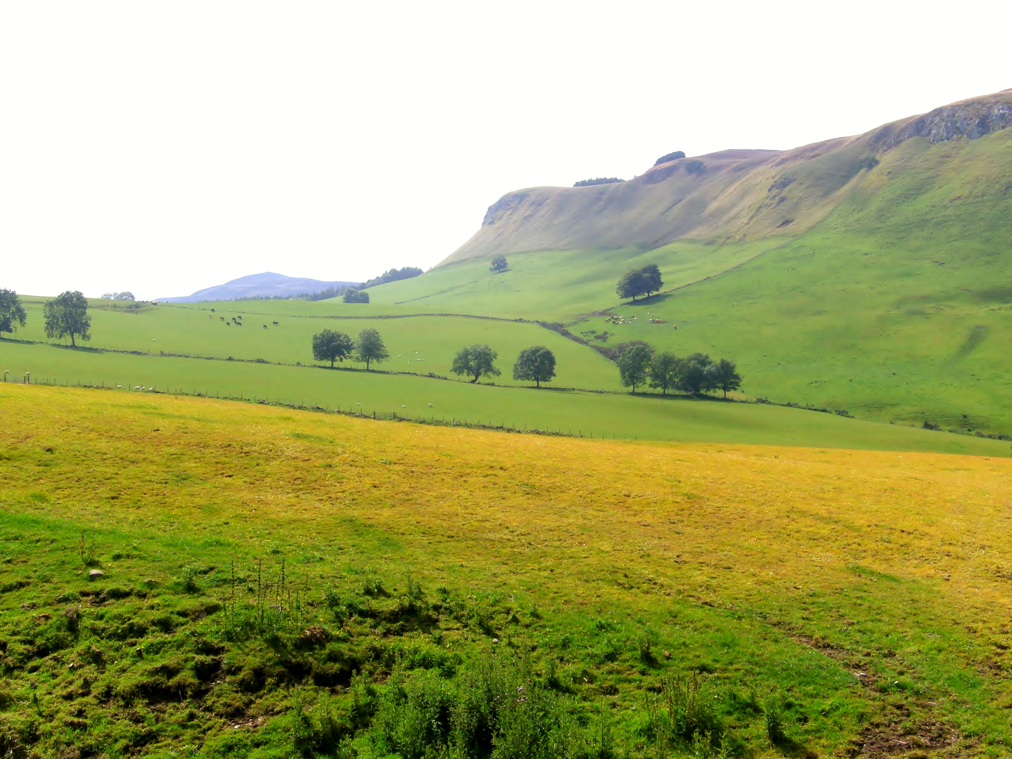
Abernyte is a small village located in the county of Perthshire, Scotland. Situated approximately 10 miles west of the city of Dundee, Abernyte is nestled in the picturesque countryside, offering stunning views of the surrounding landscape. The village is surrounded by rolling hills, fertile farmland, and lush forests, making it an ideal destination for nature lovers and outdoor enthusiasts.

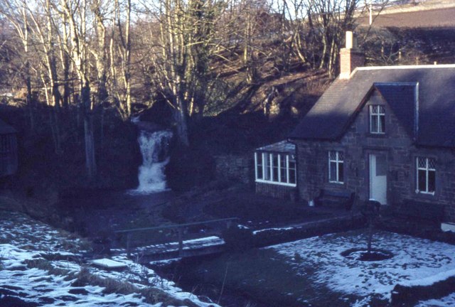
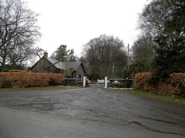
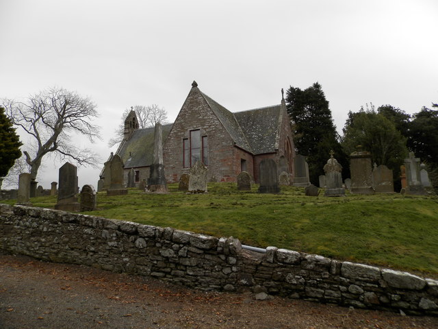
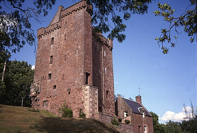
Abernyte is known for its rich history, with evidence of human habitation in the area dating back thousands of years. The village itself has a charming and quaint atmosphere, with traditional stone-built houses and a sense of community. The local amenities include a village hall, a primary school, and a church, which serve as focal points for social gatherings and community events.

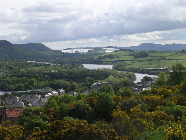
One of the highlights of Abernyte is its proximity to the River Tay, one of Scotland's most famous rivers. The river offers opportunities for fishing and boating, attracting anglers and water sports enthusiasts alike. Additionally, the area is home to a variety of wildlife, including deer, otters, and a wide range of bird species, making it a popular spot for birdwatching.

Abernyte also boasts several local businesses, including a farm shop and a cafe, where visitors can sample and purchase locally produced goods. The village is conveniently located near major transport links, allowing for easy access to nearby towns and cities.

Overall, Abernyte is a charming and idyllic village that offers a peaceful retreat from the hustle and bustle of city life, while providing ample opportunities for outdoor activities and a taste of rural Scottish culture.

If you have any feedback on the listing, please let us know in the comments section below.
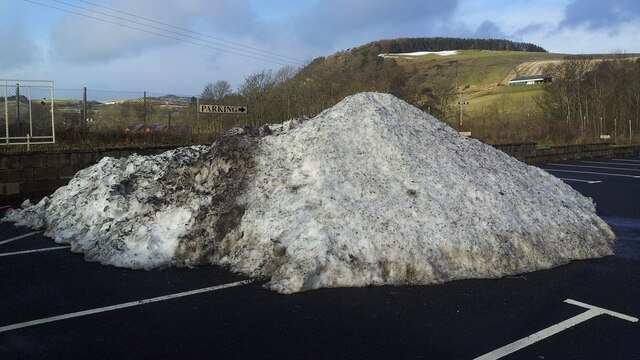
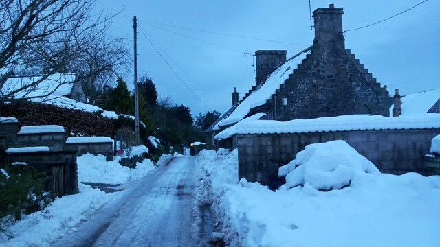
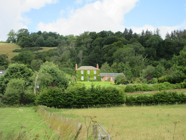
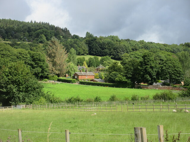
Abernyte Images

Images are sourced within 2km of 56.467348/-3.204992 or Grid Reference NO2531. Thanks to Geograph Open Source API. All images are credited.

Pile of snow at Scottish Antique and Art Centre, Abernyte
A Snowy Day in Abernyte
Ivy-clad house at Easter Ballindean Looking north from the High Carse Road to an ivy-clad frontage at Easter Ballindean.
Ivy-clad house at Easter Ballindean
Looking north from the High Carse Road to an ivy-clad frontage at Easter Ballindean.
Ballindean Estate Looking northwards from the High Carse Road to buildings and dwellings on the Ballindean Estate at the foot of the Braes of the Carse.
Ballindean Estate
Looking northwards from the High Carse Road to buildings and dwellings on the Ballindean Estate at the foot of the Braes of the Carse.
Lane near Knapp The road has just crossed the Knapp Burn beside the wall of Rossie Priory Estate.
Lane near Knapp
The road has just crossed the Knapp Burn beside the wall of Rossie Priory Estate.
Knapp Den Rossie Woodlands.  The wall had recently collapsed here, a common occurrence during periods of heavy rain.
Knapp Den
Rossie Woodlands. The wall had recently collapsed here, a common occurrence during periods of heavy rain.
East Newton A road running off the Sidlaw Hills towards the Carse of Gowrie passes a sawmill.
East Newton
A road running off the Sidlaw Hills towards the Carse of Gowrie passes a sawmill.
Wetland beside the Knapp Burn Wet and scrubby land by the East Newton sawmill.
Wetland beside the Knapp Burn
Wet and scrubby land by the East Newton sawmill.
Farmland, Newton Round bales still out, later I saw soggy round bales being removed from a field at Redmyre.
Farmland, Newton
Round bales still out, later I saw soggy round bales being removed from a field at Redmyre.
Road, East Newton A dreich day in the Sidlaw Hills.
Road, East Newton
A dreich day in the Sidlaw Hills.
Road by South Lochton A road across the Sidlaw Hills between Abernyte and Burrelton.
Road by South Lochton
A road across the Sidlaw Hills between Abernyte and Burrelton.
The B953 near Abernyte
House and waterfall near Knapp village
Entrance to South Lochton
Abernyte Parish Church The church was built in 1736 to replace a pre 1400 building. It is believed that there may have been a Celtic church here much earlier.
The church at Abernyte is linked to Longforgan Parish Church, Inchture Church and Kinnaird Church.
Abernyte Parish Church
The church was built in 1736 to replace a pre 1400 building. It is believed that there may have been a Celtic church here much earlier. The church at Abernyte is linked to Longforgan Parish Church, Inchture Church and Kinnaird Church.
Ploughed field near Baledgarno
Minor road at East Newton
Track to Kirkton Farm near Abernyte
Show me another place!

Abernyte is located at Grid Ref: NO2531 (Lat: 56.467348, Lng: -3.204992)

Unitary Authority: Perth and Kinross

Police Authority: Tayside

What 3 Words

///seabirds.prowess.baroness. Near Inchture, Perth & Kinross

Nearby Locations

Abernyte Kirktonhill Wood

Related Wikis

Abernyte

Abernyte is a small village in Perth and Kinross in Scotland. == Geography == The village lies roughly 2 miles (3 kilometres) northwest of the former Inchture...

Knapp, Perthshire

Knapp is a hamlet in Perth and Kinross, Scotland. It is located to the northeast of Inchture, about 9.7 miles (15.6 km) by road west of the city centre...

Kinnaird, Gowrie

Kinnaird (Scottish Gaelic: An Ceann Àrd, "high headland") is a village in Gowrie, Perthshire, Scotland. It is notable for its 15th-century castle. The...

King's Seat

King's Seat (Scottish Gaelic: Ceann Sidhe) is one of the principal hills of the Sidlaw range in South East Perthshire. At 377 metres (1,237 ft), it is...

Inchture Village railway station

Inchture Village railway station was a railway station in the village of Inchture, Perthshire, Scotland. The Inchture Railway Bus service operated a service...

Inchture

Inchture (Scottish Gaelic: Innis Tùir) is a village in Scotland between Dundee and Perth on the northern side of the Firth of Tay. It is approximately...

Gowrie

Gowrie (Scottish Gaelic: Gobharaidh) is a region in central Scotland and one of the original provinces of the Kingdom of Alba. It covered the eastern part...

Gask Hill

Gask Hill is one of the least climbed hills of the Sidlaw range in south east Perthshire, Scotland. Gask Hill is located near Coupar Angus and is seen...

Nearby Amenities

Located within 500m of 56.467348,-3.204992
Abernyte
Name Gd: Obar Neitheach
Place: village
Wikidata: Q4667159
Wikipedia: en:Abernyte
Lat/Long: 56.4671046/-3.2046028
saw mill
1860name: Saw Mill
Stobie1783: yes
Designation: Historic mill
Historic: archaeological_site
Source: OS Six inch 1st series
Lat/Long: 56.4650307/-3.2012131
Entrance: main
Lat/Long: 56.4664622/-3.2038606
Power: pole
Lat/Long: 56.4679908/-3.2048271
Power: pole
Lat/Long: 56.4674595/-3.2042657
Power: pole
Lat/Long: 56.4671705/-3.2039606
Power: pole
Lat/Long: 56.466851/-3.2036386
Power: pole
Lat/Long: 56.4664378/-3.2038801
Power: pole
Lat/Long: 56.4660616/-3.2039998
Power: pole
Lat/Long: 56.4660025/-3.2053525
Power: pole
Lat/Long: 56.4659404/-3.206719
Power: pole
Lat/Long: 56.4658807/-3.2081363
Power: pole
Lat/Long: 56.4658725/-3.2084456
Power: pole
Lat/Long: 56.4658456/-3.2097358
Power: pole
Lat/Long: 56.465821/-3.2110493
Power: pole
Lat/Long: 56.4658082/-3.2122463
Power: pole
Lat/Long: 56.4646425/-3.2114116
Power: pole
Lat/Long: 56.4647747/-3.2115048
Power: pole
Lat/Long: 56.4652721/-3.2118629
Power: pole
Lat/Long: 56.4663348/-3.2078863
Power: pole
Lat/Long: 56.4683735/-3.2006196
Power: pole
Lat/Long: 56.4683185/-3.1980562
Power: pole
Lat/Long: 56.464227/-3.2002573
Power: pole
Lat/Long: 56.4644587/-3.2013993
Power: pole
Lat/Long: 56.4647618/-3.2016259
Power: pole
Lat/Long: 56.4652288/-3.2019819
Post Box
Collection Times: Mo-Fr 10:15; Sa 10:15
Manufacturer: Machan Scotland
Operator: Royal Mail
Post Box Mounting: pier
Post Box Type: lamp
Ref: PH14 186
Royal Cypher: scottish_crown
Source: survey;local knowledge
Lat/Long: 56.4667998/-3.2043902
The data included in this document is from www.openstreetmap.org. The data is made available under ODbL.

Have you been to Abernyte?

Leave your review of Abernyte below (or comments, questions and feedback).