Abernethy
Settlement in Perthshire
Scotland
Abernethy
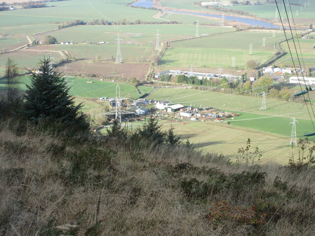
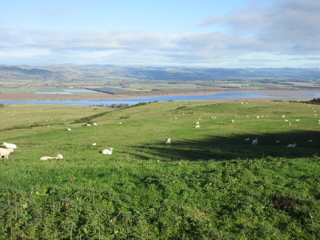
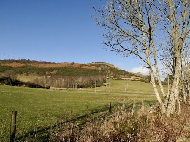
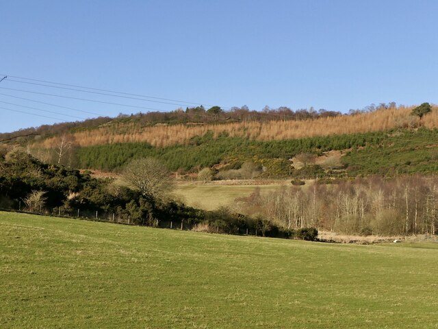
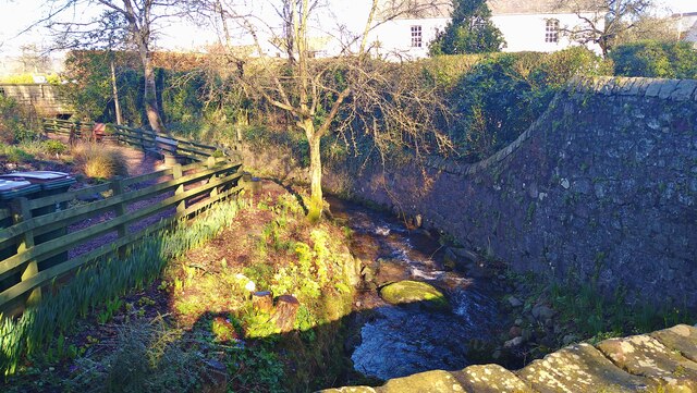
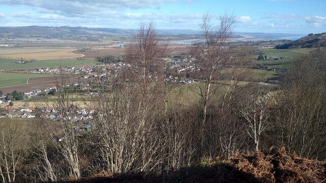
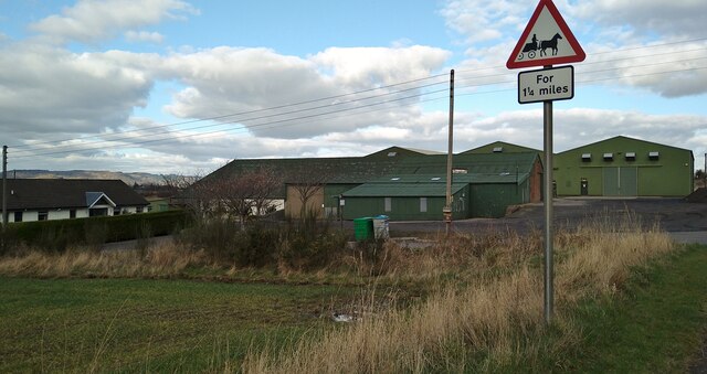
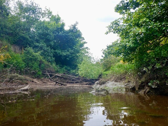
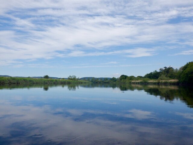
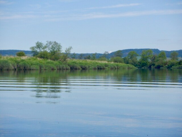
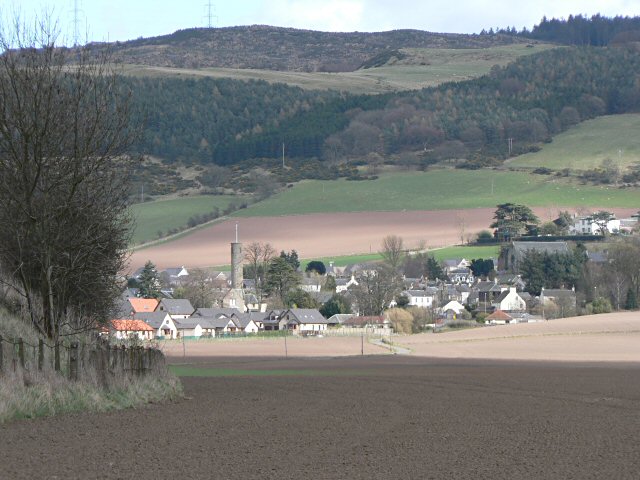
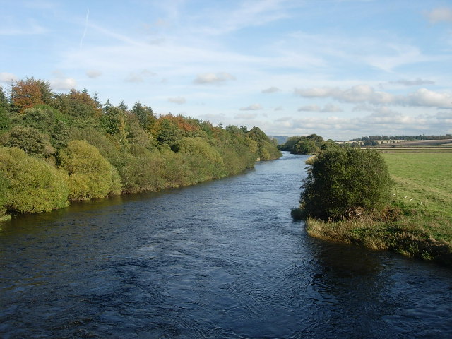
Abernethy is a small village located in the county of Perthshire, Scotland. Situated approximately 8 miles south-east of Perth, it lies on the banks of the River Tay and is surrounded by picturesque countryside. The village has a population of around 1,000 residents.
Known for its rich history, Abernethy is home to several notable landmarks. One of the most prominent is Abernethy Round Tower, a well-preserved Pictish tower that dates back to the 9th century. This ancient structure stands at 74 feet tall and is a popular tourist attraction, offering visitors panoramic views of the surrounding area from its top.
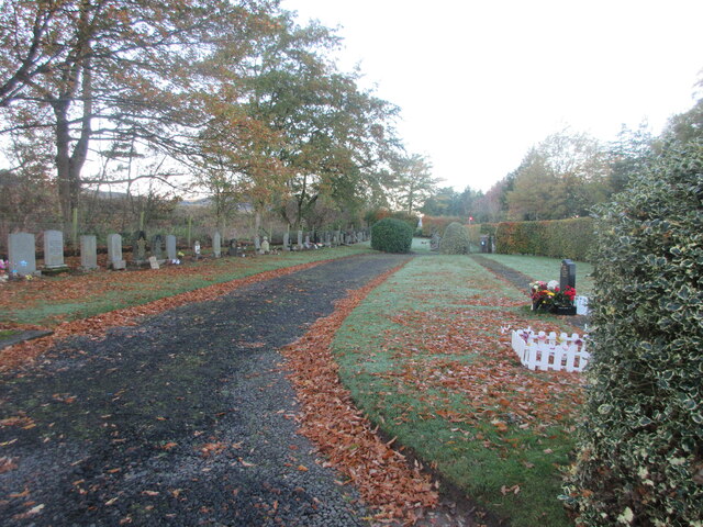
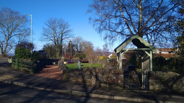
Abernethy is also renowned for its historic church, dedicated to Saint Bridget of Ireland. The current church building, constructed in the 15th century, features stunning stained glass windows and intricate woodwork. Its graveyard contains many fascinating tombstones, some of which are over 400 years old.
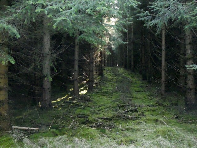
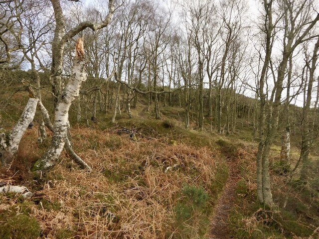
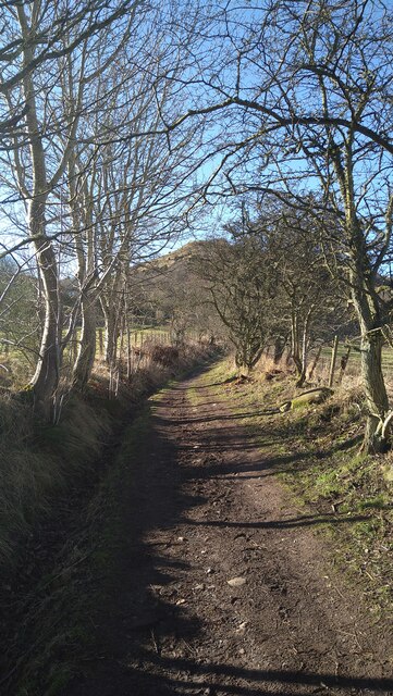
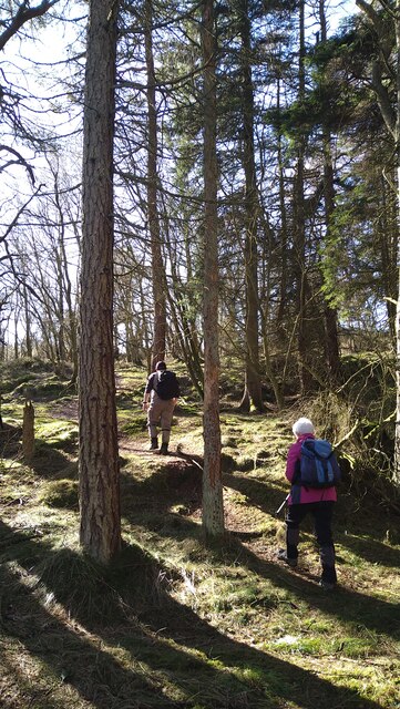
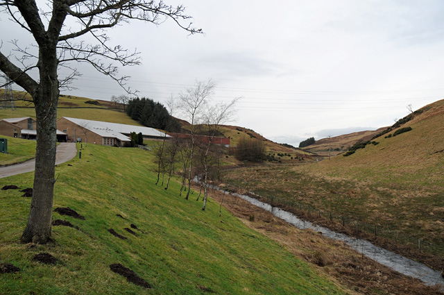
The village has a close-knit community and offers a range of amenities for residents and visitors. These include a primary school, a post office, a convenience store, and a few local pubs and restaurants. The beautiful countryside surrounding Abernethy provides ample opportunities for outdoor activities such as hiking, cycling, and fishing.
Overall, Abernethy is a charming village that offers a glimpse into Scotland's rich history and provides a peaceful retreat for both residents and tourists seeking a quieter, rural experience.
If you have any feedback on the listing, please let us know in the comments section below.
Abernethy Images
Images are sourced within 2km of 56.332669/-3.311426 or Grid Reference NO1916. Thanks to Geograph Open Source API. All images are credited.
Abernethy is located at Grid Ref: NO1916 (Lat: 56.332669, Lng: -3.311426)
Unitary Authority: Perth and Kinross
Police Authority: Tayside
What 3 Words
///stray.cleanest.drives. Near Abernethy, Perth & Kinross
Nearby Locations
Related Wikis

Abernethy Round Tower
The Abernethy Round Tower is a stone-built Irish-style round tower which stands in School Wynd, at the edge of the village cemetery, in Abernethy, Perth...
Abernethy, Perth and Kinross
Abernethy (Scottish Gaelic: Obar Neithich) is a village in Perth and Kinross, Scotland, situated 8 miles (13 km) south-east of Perth. == Etymology == Abernethy...
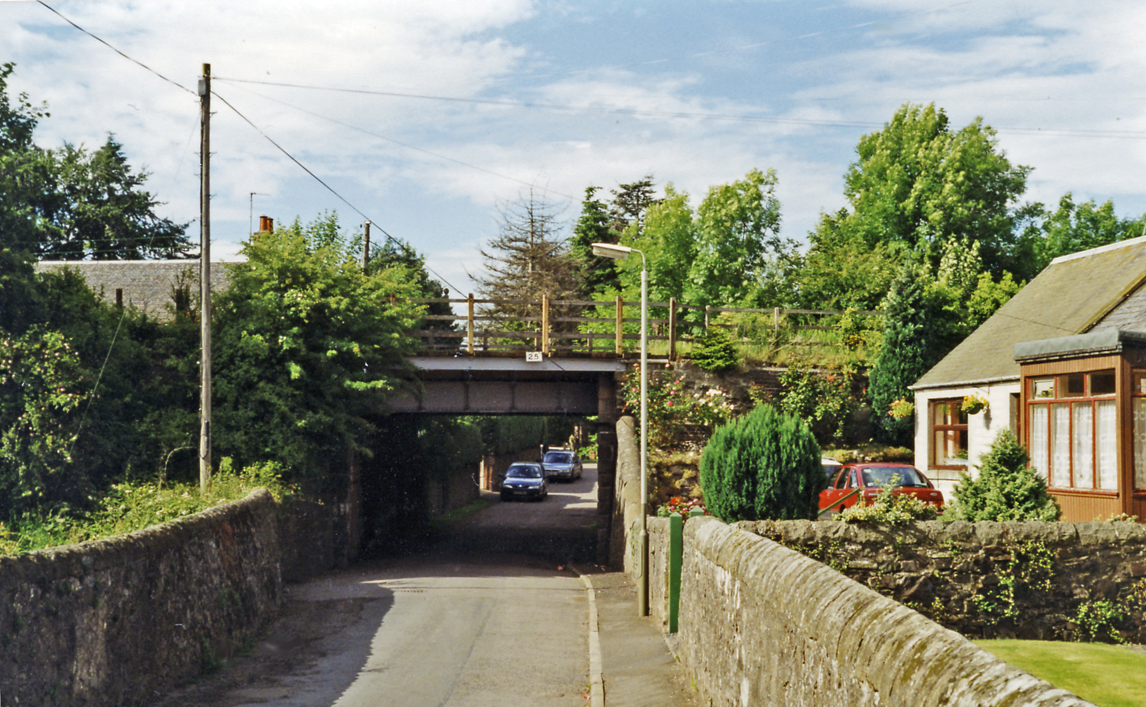
Abernethy railway station
Abernethy railway station served the village of Abernethy, in Scotland. == History == Initially Abernethy Road opened concurrently with the Edinburgh and...

Carpow
Carpow () is a diffuse hamlet in Perth and Kinross, Scotland. It is situated immediately to the east of the confluence of the River Tay and River Earn...
River Earn
The River Earn (Scottish Gaelic: Uisge Èireann) in Scotland leaves Loch Earn at St Fillans and runs east through Strathearn, then east and south, joining...

Carpow Roman Fort
The Roman Fort of Carpow was situated at the confluence of the rivers Tay and Earn in what is now Scotland.It was a large fortress with an area of thirty...
River Farg
The River Farg is a small tributary of the River Earn, located in the lieutenancy area of Perth and Kinross, central Scotland. == Course == Its source...

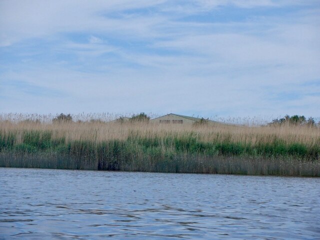
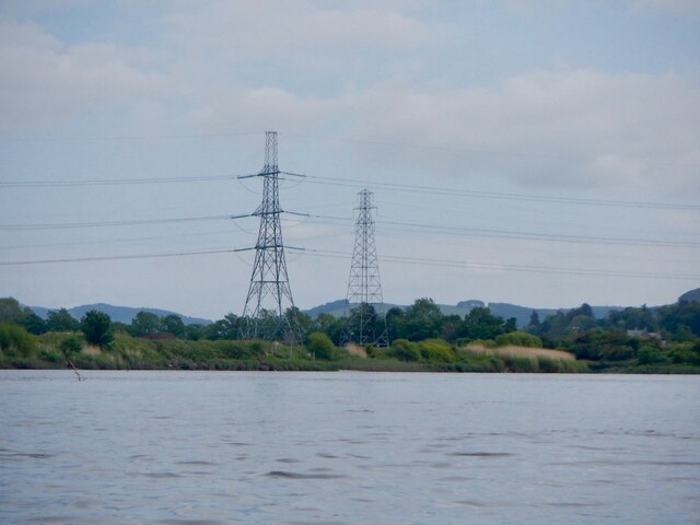
River Tay
The River Tay (Scottish Gaelic: Tatha, IPA: [ˈt̪ʰa.ə]; probably from the conjectured Brythonic Tausa, possibly meaning 'silent one' or 'strong one' or...
Nearby Amenities
Located within 500m of 56.332669,-3.311426Have you been to Abernethy?
Leave your review of Abernethy below (or comments, questions and feedback).