Abernant

Settlement in Montgomeryshire

Wales

Abernant

House on a hill viewed from Llandyssil What a spot to live, high on a hill!
House on a hill viewed from Llandyssil Credit: Jeremy Bolwell

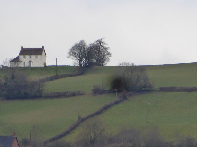
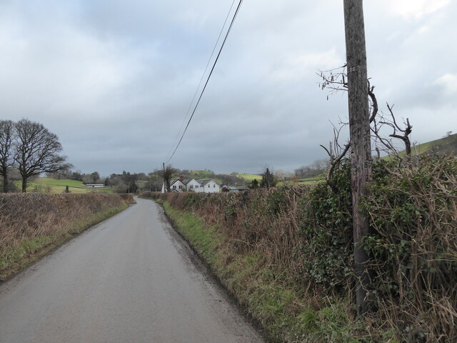
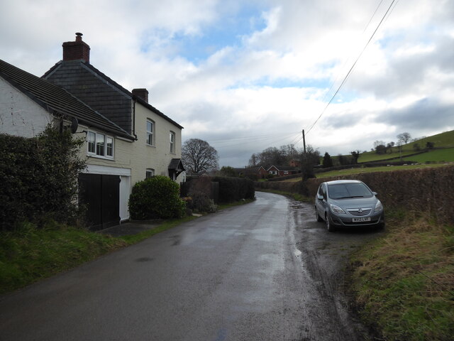
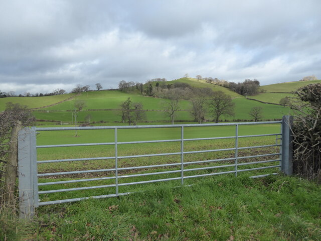
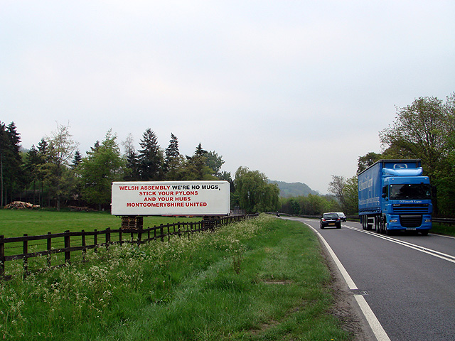
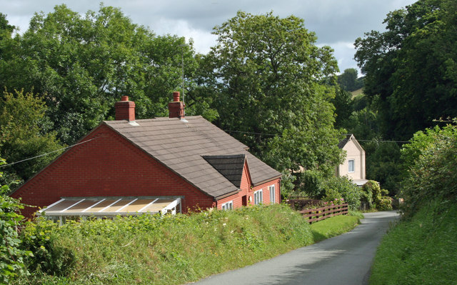
Abernant is a small village located in the county of Montgomeryshire, Wales. Situated in the picturesque countryside, Abernant offers a peaceful and idyllic setting for its residents and visitors. The village is positioned approximately 6 miles southwest of the town of Newtown, making it easily accessible for those looking to explore the surrounding areas.

Abernant is known for its rich history and heritage, with several historic landmarks and buildings scattered throughout the village. One such notable site is the Abernant House, a Grade II listed Georgian mansion that dates back to the 18th century. The house boasts stunning architecture and is surrounded by beautiful gardens, making it a popular attraction for tourists and history enthusiasts.

The village is also home to a quaint local pub, which serves as a social hub for residents and visitors alike. The pub offers a warm and friendly atmosphere, where one can enjoy a traditional Welsh meal or engage in conversation with the locals.

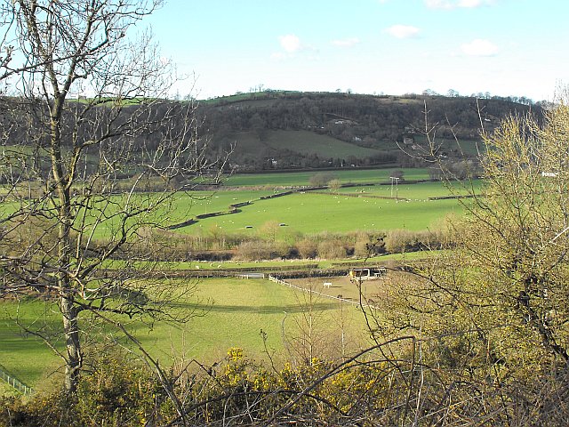
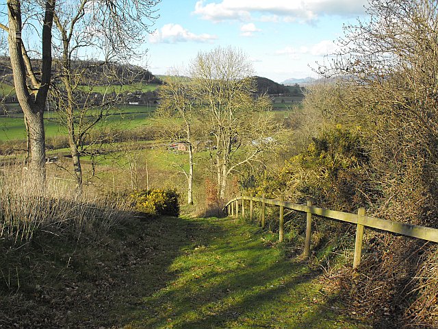
For nature lovers, Abernant offers ample opportunities for outdoor activities. The village is surrounded by rolling hills and green fields, providing a perfect backdrop for hiking, cycling, and exploring the countryside. Additionally, the nearby River Severn offers opportunities for fishing and boating.

Overall, Abernant is a charming village that offers a peaceful retreat from the bustling city life. With its rich history, natural beauty, and welcoming community, it is no wonder that Abernant is a popular destination for those seeking a tranquil and authentic Welsh experience.

If you have any feedback on the listing, please let us know in the comments section below.
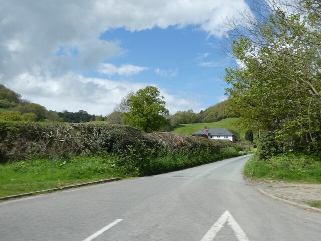
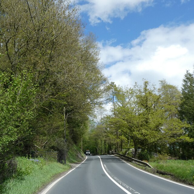
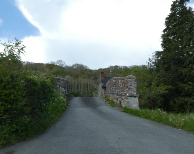
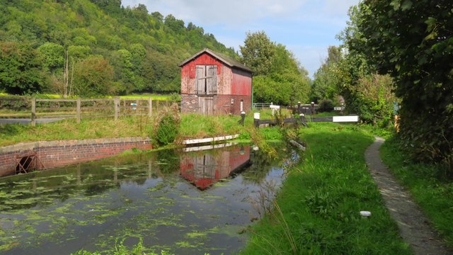
Abernant Images

Images are sourced within 2km of 52.564474/-3.2259028 or Grid Reference SO1797. Thanks to Geograph Open Source API. All images are credited.

House on a hill viewed from Llandyssil What a spot to live, high on a hill!
House on a hill viewed from Llandyssil
What a spot to live, high on a hill!
On the lane between Abermule and Llandyssil Nice lane to walk.
On the lane between Abermule and Llandyssil
Nice lane to walk.
Snowdrops on the lane verge near Green Lane Lovely little things.
Snowdrops on the lane verge near Green Lane
Lovely little things.
On the lane at Green Lane near Llandyssil A lovely lane to walk.
On the lane at Green Lane near Llandyssil
A lovely lane to walk.
Gate with a view across the valley near Llandyssil Lovely landscape.
Gate with a view across the valley near Llandyssil
Lovely landscape.
Road to Dolforwyn
Road to Dolforwyn
Track to Glen Afren Wood
A483 by Glen Hafren Wood
Lone tree by A483
Lone tree by A483
Bridge over Montgomery Canal, Abernant
A483 passing Caefron
Old Milestone by the A483 Was by the A483, in parish of Welshpool (Powys District). Now in antique shop in Herefordshire. 

Inscription reads:- : 4½ / NEWT(OWN) / (WELSH)POOL / 9 :

Milestone Society National ID: MOT_WPNT09
Old Milestone by the A483
Was by the A483, in parish of Welshpool (Powys District). Now in antique shop in Herefordshire. Inscription reads:- : 4½ / NEWT(OWN) / (WELSH)POOL / 9 : Milestone Society National ID: MOT_WPNT09
Montgomery Canal - Canal side shed at Brynderwen Lock, Abermule
"Stick your pylons" It is proposed that a substation be built in either Abermule, near Newtown, or Cefn Coch, near Llanfair Caereinion, covering about 19 acres of rolling countryside, in order to gather-in the output from the multitude of wind-farms planned for mid-Wales. In addition, of course, there would also be a need to build a network of pylons to connect them all up and to the national grid.

Quite naturally, the people of Montgomeryshire want none of it and this sign on a trailer body beside the A483 between Newtown and Welshpool, just about sums up the local feeling. A measure of the strength of feeling is that some 2000 people attended a protest meeting at Welshpool on April 20th - not a bad turnout for a rural area! At least the local MP, Glyn Davies, has given them his full support and all credit to him. Watch out any local politician who favours this scheme - you won't stand a chance in the forthcoming elections.

I don't believe that there has been such strength of feeling in Wales about a large infrastructure project since the Llyn Celyn protests in the late 50s/ early 60s. 

It is an absolute disgrace that the Welsh Assembly is sponsoring the project but, even if they did not, I'm sure that the so-called energy secretary in Westminster, the screwball Huhne, would force it through. He is after all, nothing more than a front man for Greenpeace. What price local democracy? It didn't work in the case of Llyn Celyn and it probably won't work in Montgomeryshire.

I can only complete this rant by repeating the well chosen words of Montgomeryshire United - "Stick your pylons" and if I may add - AND YOUR WINDFARMS!

See also <a href="https://www.geograph.org.uk/photo/2383455">SO1797 : Protest sign beside the A483 road</a>.
"Stick your pylons"
It is proposed that a substation be built in either Abermule, near Newtown, or Cefn Coch, near Llanfair Caereinion, covering about 19 acres of rolling countryside, in order to gather-in the output from the multitude of wind-farms planned for mid-Wales. In addition, of course, there would also be a need to build a network of pylons to connect them all up and to the national grid. Quite naturally, the people of Montgomeryshire want none of it and this sign on a trailer body beside the A483 between Newtown and Welshpool, just about sums up the local feeling. A measure of the strength of feeling is that some 2000 people attended a protest meeting at Welshpool on April 20th - not a bad turnout for a rural area! At least the local MP, Glyn Davies, has given them his full support and all credit to him. Watch out any local politician who favours this scheme - you won't stand a chance in the forthcoming elections. I don't believe that there has been such strength of feeling in Wales about a large infrastructure project since the Llyn Celyn protests in the late 50s/ early 60s. It is an absolute disgrace that the Welsh Assembly is sponsoring the project but, even if they did not, I'm sure that the so-called energy secretary in Westminster, the screwball Huhne, would force it through. He is after all, nothing more than a front man for Greenpeace. What price local democracy? It didn't work in the case of Llyn Celyn and it probably won't work in Montgomeryshire. I can only complete this rant by repeating the well chosen words of Montgomeryshire United - "Stick your pylons" and if I may add - AND YOUR WINDFARMS! See also SO1797 : Protest sign beside the A483 road.
Protest sign beside the A483 road See also <a href="https://www.geograph.org.uk/photo/2383361">SO1797 : "Stick your pylons"</a>.
Protest sign beside the A483 road
Serpentine hedge on the Severn flood plain Presumably the hedge-line originally followed a watercourse but there is no sign of one on the map.
The B4386 may be seen in the middle ground with the railway line (on an embankment at this point) just beyond it. The River Severn is the next horizontal line from the camera and the A483 is immediately behind the hedge the other side of the plain. The settlement on the hill beyond is Fron.
Seen from the car park at the green burial ground.
Serpentine hedge on the Severn flood plain
Presumably the hedge-line originally followed a watercourse but there is no sign of one on the map. The B4386 may be seen in the middle ground with the railway line (on an embankment at this point) just beyond it. The River Severn is the next horizontal line from the camera and the A483 is immediately behind the hedge the other side of the plain. The settlement on the hill beyond is Fron. Seen from the car park at the green burial ground.
View from the green burial ground Better visibility than in a similar shot I took a few years back <a title="https://www.geograph.org.uk/photo/612516" href="https://www.geograph.org.uk/photo/612516">Link</a> . The nearer of the 'lumps' in the background is Beddau <a href="https://www.geograph.org.uk/gridref/SO1897">SO1897</a> while those to its right are Breidden <a href="https://www.geograph.org.uk/gridref/SJ2914">SJ2914</a> and Moel y Golfa <a href="https://www.geograph.org.uk/gridref/SJ2812">SJ2812</a>.
View from the green burial ground
Better visibility than in a similar shot I took a few years back Link . The nearer of the 'lumps' in the background is Beddau SO1897 while those to its right are Breidden SJ2914 and Moel y Golfa SJ2812.
View down the Severn valley from the green burial ground The nearer of the 'lumps' in the background is Beddau <a href="https://www.geograph.org.uk/gridref/SO1897">SO1897</a> while those in the centre are Breidden <a href="https://www.geograph.org.uk/gridref/SJ2914">SJ2914</a> and Moel y Golfa <a href="https://www.geograph.org.uk/gridref/SJ2812">SJ2812</a> with the Long Mountain to the right.
View down the Severn valley from the green burial ground
The nearer of the 'lumps' in the background is Beddau SO1897 while those in the centre are Breidden SJ2914 and Moel y Golfa SJ2812 with the Long Mountain to the right.
Show me another place!

Abernant is located at Grid Ref: SO1797 (Lat: 52.564474, Lng: -3.2259028)

Unitary Authority: Powys

Police Authority: Dyfed Powys

What 3 Words

///crispier.outsmart.strictest. Near Newtown, Powys

Nearby Locations

Fron Abernant

Related Wikis

Abernant, Powys

Abernant is a hamlet near Montgomery, Powys and is 75 miles (121 km) from Cardiff and 150 miles (242 km) from London.The spring forms above Abernant, near...

Abermule with Llandyssil

Abermule with Llandyssil, formerly just Llandyssil (Welsh: Llandysul), is a community in Powys (historically Montgomeryshire), Wales, including the villages...

Abermule

Abermule (Welsh: Aber-miwl) is a village lying on the River Severn 6 km (4 miles) northeast of Newtown in Powys, mid Wales. The A483 Swansea to Chester...

Abermule train collision

The Abermule train collision was a head-on collision which occurred at Abermule, Montgomeryshire, Wales on Wednesday 26 January 1921, killing 17 people...

Nearby Amenities

Located within 500m of 52.564474,-3.2259028
Crossing
Lat/Long: 52.5663083/-3.2197236
The data included in this document is from www.openstreetmap.org. The data is made available under ODbL.

Have you been to Abernant?

Leave your review of Abernant below (or comments, questions and feedback).