Dodyard Moor

Downs, Moorland in Devon North Devon

England

Dodyard Moor

Muddy field entrance, near Bunson
Muddy field entrance, near Bunson Credit: Roger Cornfoot

The requested URL returned error: 429 Too Many Requests

If you have any feedback on the listing, please let us know in the comments section below.
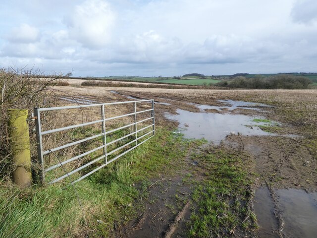
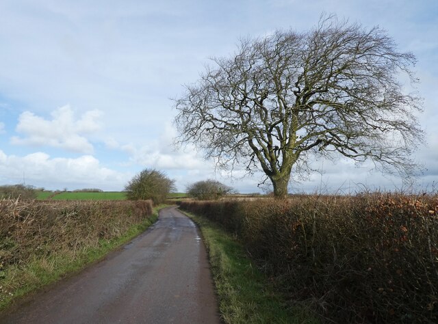
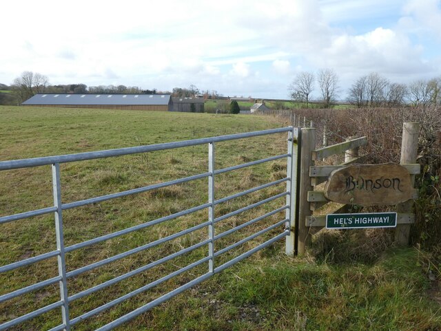
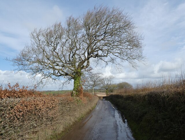
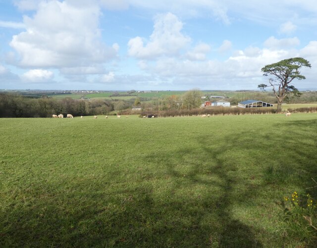
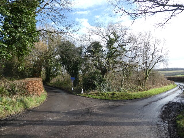
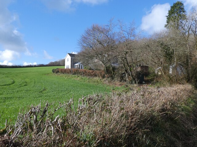
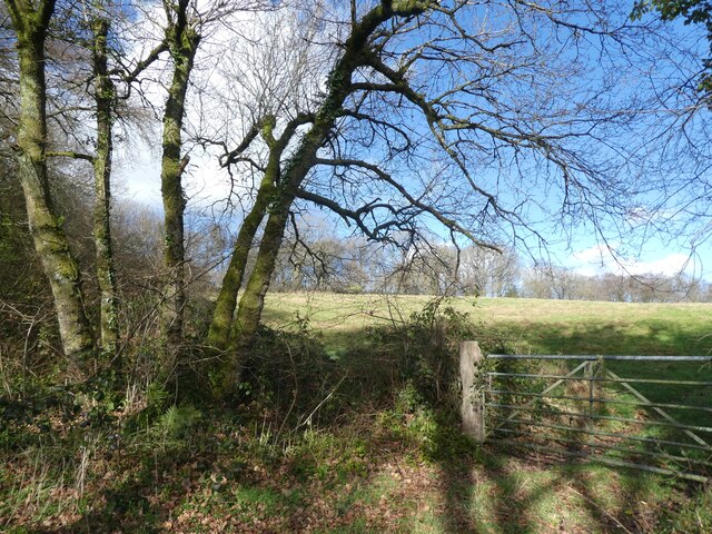
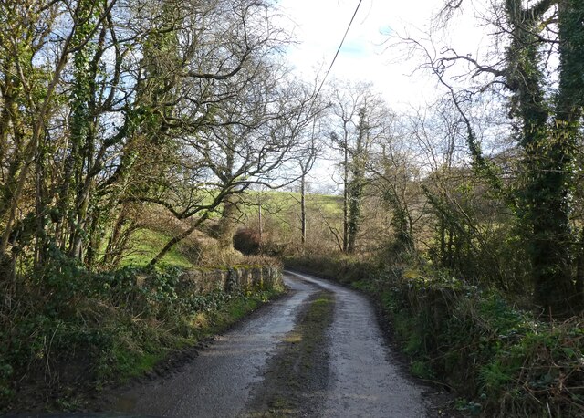
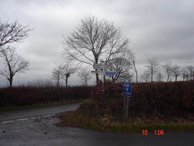
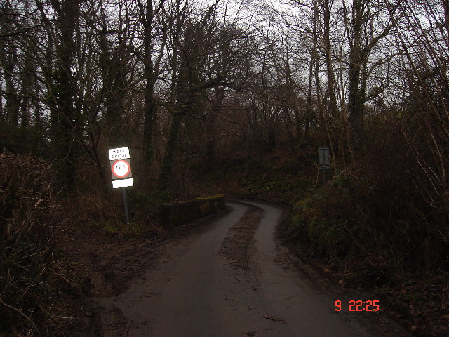
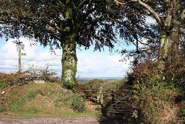
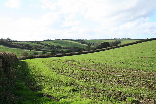
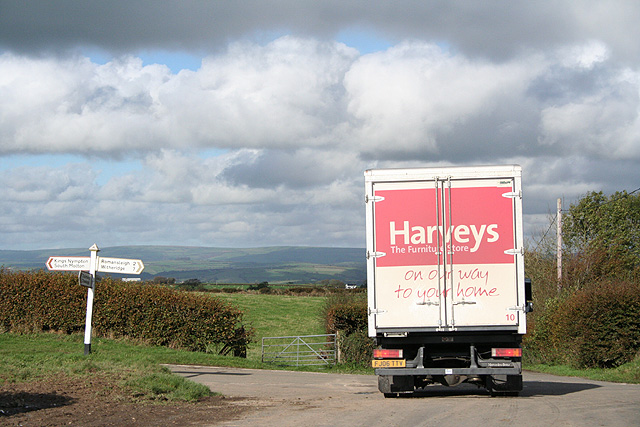
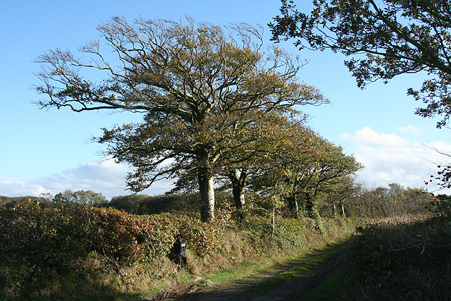
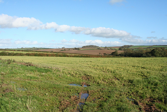
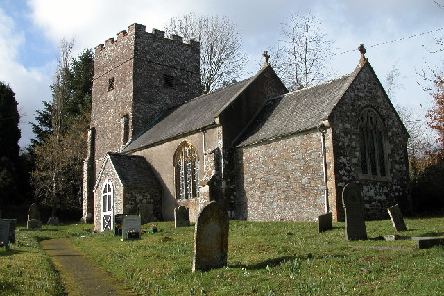
Dodyard Moor Images

Images are sourced within 2km of 50.939866/-3.8255853 or Grid Reference SS7117. Thanks to Geograph Open Source API. All images are credited.

Muddy field entrance, near Bunson
Minor road to Alswear
The Farm at Bunson
The Farm at Bunson
Minor road to Alswear
Pasture, above Bunson
Challacombe Cross
Challacombe Cross
Brookland Cottage
Brookland Cottage
Pasture, above Challacombe Cross
Brookland Bridge
Brookland Bridge
Beacon Cross An isolated crossroads.  Many of the crossroads here on high ground between Dartmoor and Exmoor have beacons.
Beacon Cross
An isolated crossroads. Many of the crossroads here on high ground between Dartmoor and Exmoor have beacons.
Weak bridge, Week Bridge over Huntacott Water, a normally placid but occasionally raging waterway.
One of many small rivers to cut small, deep valleys into the North Devon plateau.
Weak bridge, Week
Bridge over Huntacott Water, a normally placid but occasionally raging waterway. One of many small rivers to cut small, deep valleys into the North Devon plateau.
Romansleigh: entrance to West Rowley A public footpath leads to West Rowley and East Rowley and to Rhode Farm. Looking north east
Romansleigh: entrance to West Rowley
A public footpath leads to West Rowley and East Rowley and to Rhode Farm. Looking north east
Romansleigh: near Three Corner Cross Looking west-south-west towards Lower Kingstree Moor
Romansleigh: near Three Corner Cross
Looking west-south-west towards Lower Kingstree Moor
King’s Nympton: Garland Cross Looking north-north-east. The road ahead leads to Alswear. Exmoor provides the backdrop
King’s Nympton: Garland Cross
Looking north-north-east. The road ahead leads to Alswear. Exmoor provides the backdrop
Chulmleigh: on Long Moor The track leads to West Garland Farm. Looking east-south-east
Chulmleigh: on Long Moor
The track leads to West Garland Farm. Looking east-south-east
Chulmleigh: Bunson Gate Looking east-north-east towards Bycott Moor
Chulmleigh: Bunson Gate
Looking east-north-east towards Bycott Moor
Chulmleigh: near Challacombe Cross Looking west towards Parsonage
Chulmleigh: near Challacombe Cross
Looking west towards Parsonage
Chulmleigh: Challacombe Looking south to the valley of the Huntacott Water
Chulmleigh: Challacombe
Looking south to the valley of the Huntacott Water
Show me another place!

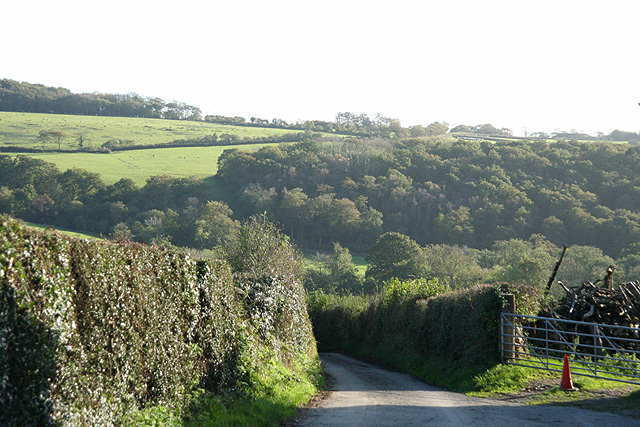
Dodyard Moor is located at Grid Ref: SS7117 (Lat: 50.939866, Lng: -3.8255853)

Administrative County: Devon

District: North Devon

Police Authority: Devon and Cornwall

What 3 Words

///swooned.fine.call. Near Chulmleigh, Devon

Related Wikis

Week, Devon

Week is a small village in the civil parish of Chulmleigh, in the North Devon district of Devon, England. Its nearest town is Chulmleigh, which lies approximately...

Romansleigh

Romansleigh is a village and civil parish in the North Devon district of Devon, England. It is surrounded clockwise from the north by the parishes of Mariansleigh...

Chulmleigh College

Chulmleigh College, previously known as Chulmleigh Community College, is an 11–16 mixed comprehensive secondary school with academy status in Chulmleigh...

Cheldon

Cheldon is a village and former civil parish, 17 miles (27 km) north-west of Exeter, now in the parish of Chulmleigh, in the North Devon district, in the...

Have you been to Dodyard Moor?

Leave your review of Dodyard Moor below (or comments, questions and feedback).