Wembworthy Down

Downs, Moorland in Devon Mid Devon

England

Wembworthy Down

Mid Devon farmland Looking west towards Chulmleigh from near Hollow Tree Cross.
Mid Devon farmland Credit: Richard Knights

Wembworthy Down is a picturesque area located in Devon, England. Situated on the northern edge of Dartmoor National Park, it encompasses a vast expanse of downs and moorland, offering visitors a unique and tranquil experience.

The area is characterised by rolling hills covered in lush grass and heather, interspersed with rocky outcrops and scattered woodlands. Wembworthy Down is known for its diverse and rich wildlife, with various species of birds, butterflies, and small mammals calling this area home. Visitors can indulge in birdwatching, spotting species such as buzzards, kestrels, and skylarks soaring above the open landscape.

The downland is crisscrossed by a network of footpaths and bridleways, providing ample opportunities for walking, hiking, and horse riding. These paths offer stunning panoramic views of the surrounding countryside, including the nearby Taw Valley and the distant Dartmoor tors.

Wembworthy Down is also home to a number of ancient archaeological sites, including burial mounds and stone circles, which date back thousands of years. These remnants of the past add an air of mystery and intrigue to the area, inviting visitors to explore and learn about the region's rich history.

With its tranquil beauty, diverse wildlife, and historical significance, Wembworthy Down is a must-visit destination for nature enthusiasts, hikers, and history buffs alike. Whether you're seeking solitude in nature or an opportunity to immerse yourself in the ancient past, this area offers a truly unforgettable experience.

If you have any feedback on the listing, please let us know in the comments section below.

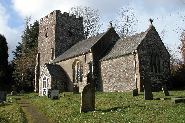
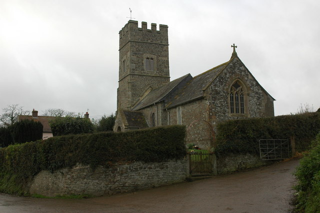
Wembworthy Down Images

Images are sourced within 2km of 50.885874/-3.8242127 or Grid Reference SS7111. Thanks to Geograph Open Source API. All images are credited.

Mid Devon farmland Looking west towards Chulmleigh from near Hollow Tree Cross.
Mid Devon farmland
Looking west towards Chulmleigh from near Hollow Tree Cross.
Earl of Portsmouth pub One of two pubs in Chawleigh.  The Earl of Portsmouth had a large estate here, based in Eggesford. It was sold at the time of the First World War.
Earl of Portsmouth pub
One of two pubs in Chawleigh. The Earl of Portsmouth had a large estate here, based in Eggesford. It was sold at the time of the First World War.
Chawleigh church St James's church, Chawleigh.
Chawleigh church
St James's church, Chawleigh.
'Recycling Pavilion', Chawleigh An unusual recycling shed in the centre of the village of Chawleigh.
'Recycling Pavilion', Chawleigh
An unusual recycling shed in the centre of the village of Chawleigh.
Cottages near Stonemill Farm, Chawleigh
Chawleigh village school
Driveway to Nutson Farm
Bridleway beside Handsford Farm, Chawleigh
Leigh Bridge, near Cheldon A narrow country lane crosses the Little Dart River via Leigh Bridge
Leigh Bridge, near Cheldon
A narrow country lane crosses the Little Dart River via Leigh Bridge
Rape field The rape in this field was starting to show colour; other fields in the area, at lower altitudes, were further advanced.
Rape field
The rape in this field was starting to show colour; other fields in the area, at lower altitudes, were further advanced.
Footpath in the woods at Eggesford The marked forest trail in <a href="https://www.geograph.org.uk/photo/6910">SK3736 : Chaddesden Cemetery</a> crosses a footbridge and turns soon after entering this square.  This path is a continuation, which is not buggy- or cycle-friendly.
Footpath in the woods at Eggesford
The marked forest trail in SK3736 : Chaddesden Cemetery crosses a footbridge and turns soon after entering this square. This path is a continuation, which is not buggy- or cycle-friendly.
Harding's Leigh
Harding's Leigh
Signpost at Cooper's Cross The road in the background is a no through road.
Signpost at Cooper's Cross
The road in the background is a no through road.
Clover in a field at Wembworthy Down
Wembworthy Down Fiddlecote Farm can be seen in the background.
Wembworthy Down
Fiddlecote Farm can be seen in the background.
Chawleigh: street furniture By a garage or outhouse with an odd roof. Looking north east
Chawleigh: street furniture
By a garage or outhouse with an odd roof. Looking north east
Chawleigh: the Earl of Portsmouth Looking north-east at Portsmouth Arms Cross. The road in front of the pub runs to Cheldon
Chawleigh: the Earl of Portsmouth
Looking north-east at Portsmouth Arms Cross. The road in front of the pub runs to Cheldon
Tatworthy Brake The wood seen across fields from the lane between Southcott Cross and Hilltown Cross.
Tatworthy Brake
The wood seen across fields from the lane between Southcott Cross and Hilltown Cross.
Show me another place!

Wembworthy Down is located at Grid Ref: SS7111 (Lat: 50.885874, Lng: -3.8242127)

Administrative County: Devon

District: Mid Devon

Police Authority: Devon and Cornwall

What 3 Words

///winter.melts.spines. Near Chulmleigh, Devon

Nearby Locations

Wembworthy Down Chawleigh

Related Wikis

Chawleigh

Chawleigh is a village and civil parish in Mid Devon in the English county of Devon, situated just off the A377 between Crediton and Barnstaple. It has...

Cheldon

Cheldon is a village and former civil parish, 17 miles (27 km) north-west of Exeter, now in the parish of Chulmleigh, in the North Devon district, in the...

Lapford

Lapford is a village and civil parish in Mid Devon in the English county of Devon. It had a population of 993 in 2001, reducing to 867 at the 2011 census...

Nymet Rowland

Nymet Rowland is a small village, and civil parish of the same name, in central Devon, England, north of Dartmoor. It takes part of its name from "Nymet...

Have you been to Wembworthy Down?

Leave your review of Wembworthy Down below (or comments, questions and feedback).