Bycott Moor

Downs, Moorland in Devon North Devon

England

Bycott Moor

Muddy field entrance, near Bunson
Muddy field entrance, near Bunson Credit: Roger Cornfoot

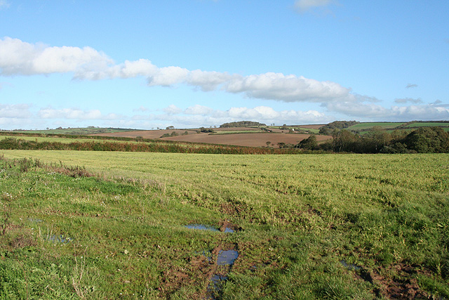
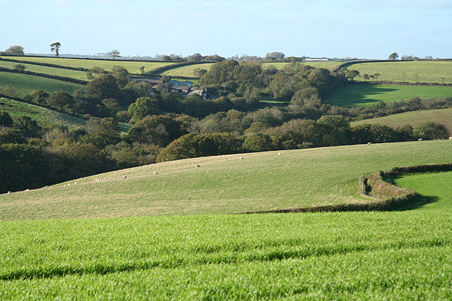
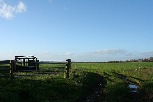
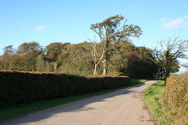
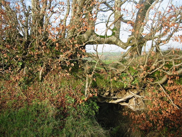
Brycott Moor is a vast expanse of moorland located in Devon, England. Covering an area of approximately 2,000 acres, the moor is characterized by its rolling hills, heather-covered slopes, and rocky outcrops. The landscape is dotted with ancient stone circles, burial mounds, and remnants of old settlements, providing a glimpse into the area's rich history.

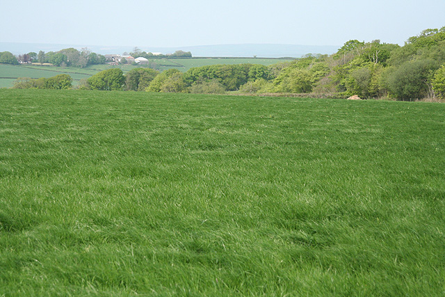
The moor is home to a variety of wildlife, including red deer, ponies, and a wide range of bird species. Visitors may also spot rare plants and flowers that thrive in the moorland environment. The area is popular with hikers, birdwatchers, and nature enthusiasts, who come to explore the network of footpaths and trails that crisscross the landscape.

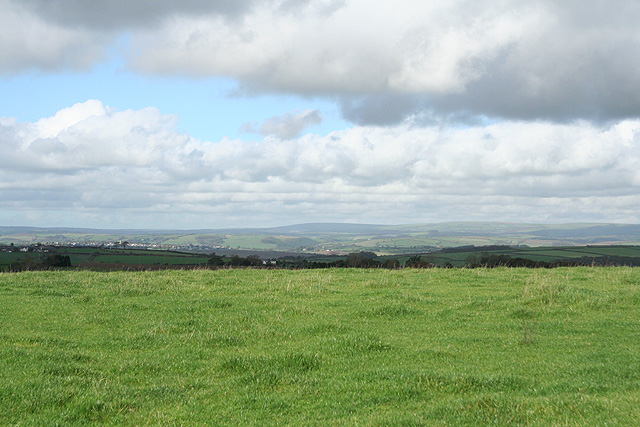
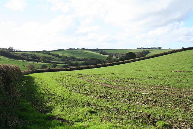
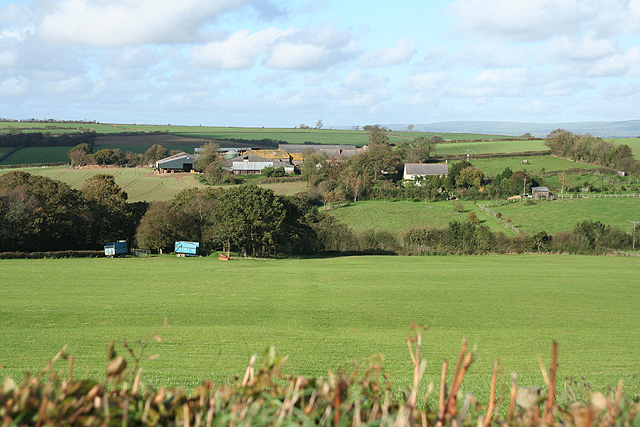
Brycott Moor offers stunning views of the surrounding countryside, with vistas that stretch out towards the sea in the distance. The peaceful and remote setting makes it a perfect destination for those looking to escape the hustle and bustle of city life. Whether you're looking for a challenging hike or simply a place to relax and take in the natural beauty, Brycott Moor has something to offer for everyone.

If you have any feedback on the listing, please let us know in the comments section below.
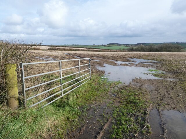
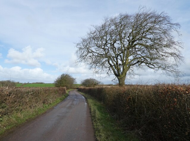
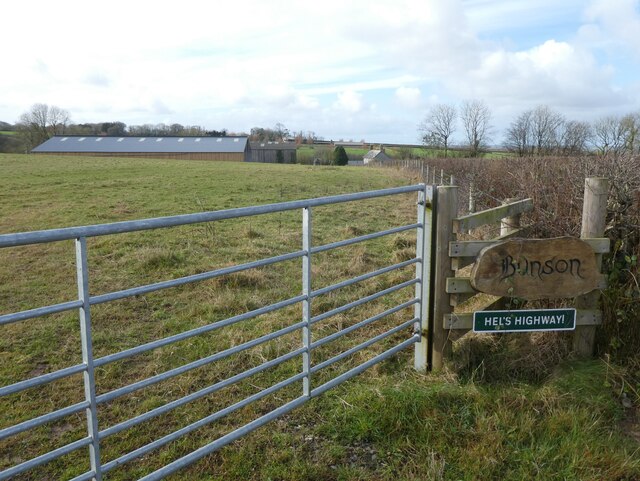
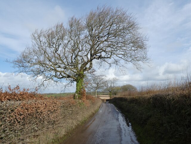
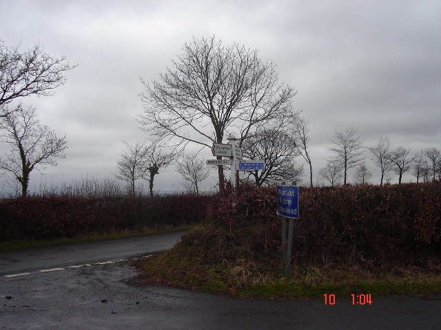
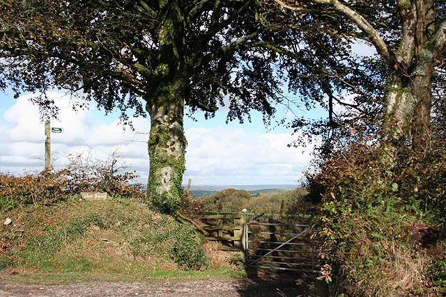
Bycott Moor Images

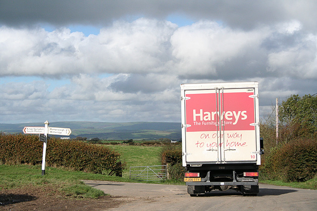
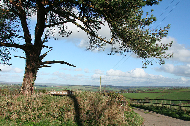
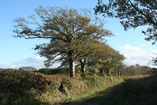
Images are sourced within 2km of 50.946538/-3.8256617 or Grid Reference SS7117. Thanks to Geograph Open Source API. All images are credited.

Muddy field entrance, near Bunson
Minor road to Alswear
The Farm at Bunson
The Farm at Bunson
Minor road to Alswear
Beacon Cross An isolated crossroads.  Many of the crossroads here on high ground between Dartmoor and Exmoor have beacons.
Beacon Cross
An isolated crossroads. Many of the crossroads here on high ground between Dartmoor and Exmoor have beacons.
Romansleigh: towards South Molton Looking north with Exmoor on the skyline
Romansleigh: towards South Molton
Looking north with Exmoor on the skyline
Romansleigh: entrance to West Rowley A public footpath leads to West Rowley and East Rowley and to Rhode Farm. Looking north east
Romansleigh: entrance to West Rowley
A public footpath leads to West Rowley and East Rowley and to Rhode Farm. Looking north east
Romansleigh: near Three Corner Cross Looking west-south-west towards Lower Kingstree Moor
Romansleigh: near Three Corner Cross
Looking west-south-west towards Lower Kingstree Moor
King’s Nympton: Garland Cross Looking north-north-east. The road ahead leads to Alswear. Exmoor provides the backdrop
King’s Nympton: Garland Cross
Looking north-north-east. The road ahead leads to Alswear. Exmoor provides the backdrop
King’s Nympton: towards Hummacott Looking north to Hummacott farm from a point near Stapleton Farm
King’s Nympton: towards Hummacott
Looking north to Hummacott farm from a point near Stapleton Farm
Romansleigh: by the entrance to Lower Kingstree On the lane between Highridge and Garland Cross, looking east-north-east
Romansleigh: by the entrance to Lower Kingstree
On the lane between Highridge and Garland Cross, looking east-north-east
Chulmleigh: on Long Moor The track leads to West Garland Farm. Looking east-south-east
Chulmleigh: on Long Moor
The track leads to West Garland Farm. Looking east-south-east
Chulmleigh: Bunson Gate Looking east-north-east towards Bycott Moor
Chulmleigh: Bunson Gate
Looking east-north-east towards Bycott Moor
Chulmleigh: near Higher Dodyard View west-north-west towards South Beara
Chulmleigh: near Higher Dodyard
View west-north-west towards South Beara
Chulmleigh: Dodyard Moor Looking west-north-west on an October afternoon
Chulmleigh: Dodyard Moor
Looking west-north-west on an October afternoon
Chulmleigh: wood on Bycott Moor Looking north-north-west by the entrance to Bycott Farm on the lane between Challacombe and Three Corner Cross
Chulmleigh: wood on Bycott Moor
Looking north-north-west by the entrance to Bycott Farm on the lane between Challacombe and Three Corner Cross
Beech hedge, bank and ditch. Roadside hedge near Wixon Cottages.
Beech hedge, bank and ditch.
Roadside hedge near Wixon Cottages.
King’s Nympton: on Broomham Moor Looking north-north-east towards Highridge. Seen from the diverted public bridleway between Kingstreet and Beara Cross
King’s Nympton: on Broomham Moor
Looking north-north-east towards Highridge. Seen from the diverted public bridleway between Kingstreet and Beara Cross
Show me another place!

Bycott Moor is located at Grid Ref: SS7117 (Lat: 50.946538, Lng: -3.8256617)

Administrative County: Devon

District: North Devon

Police Authority: Devon and Cornwall

What 3 Words

///chase.coasting.hello. Near Chulmleigh, Devon

Related Wikis

Week, Devon

Week is a small village in the civil parish of Chulmleigh, in the North Devon district of Devon, England. Its nearest town is Chulmleigh, which lies approximately...

Romansleigh

Romansleigh is a village and civil parish in the North Devon district of Devon, England. It is surrounded clockwise from the north by the parishes of Mariansleigh...

Alswear

Alswear is a village in Devon, England, approximately 25 miles (40 km) northwest of Exeter. == References == == External links == Media related to Alswear...

Meshaw

Meshaw is a village and civil parish in the North Devon district of Devon, England. Its nearest town is South Molton, which lies approximately 5.9 miles...

Have you been to Bycott Moor?

Leave your review of Bycott Moor below (or comments, questions and feedback).