Rhos Rhydd
Downs, Moorland in Cardiganshire
Wales
Rhos Rhydd
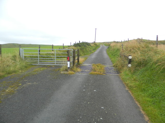
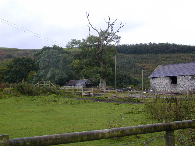
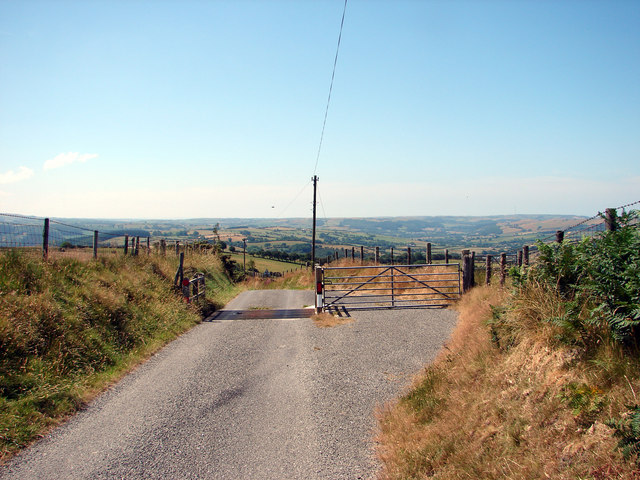
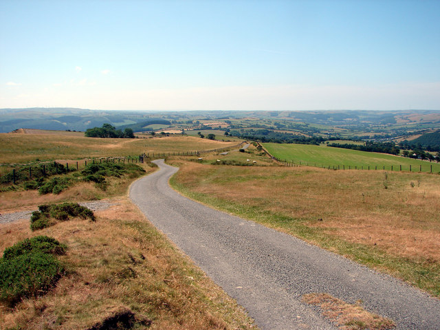
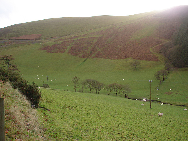
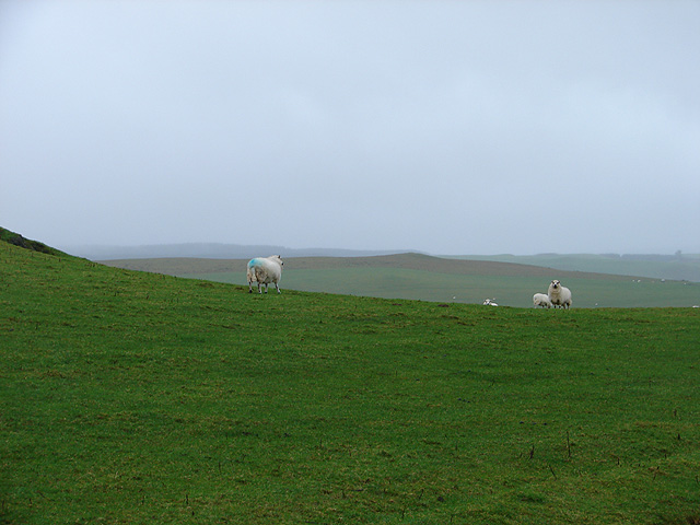
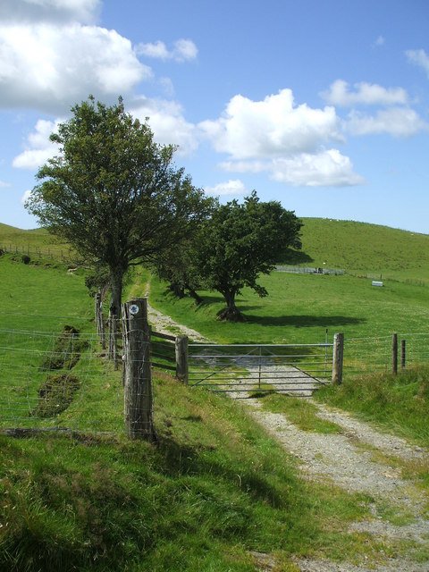
Rhos Rhydd is a captivating area located in Cardiganshire, Wales, known for its enchanting downs and moorlands. Spanning across an expansive landscape, this region offers a picturesque view of undulating hills, sprawling meadows, and heather-covered moors. Its natural beauty has made it a popular destination for nature enthusiasts and photographers alike.
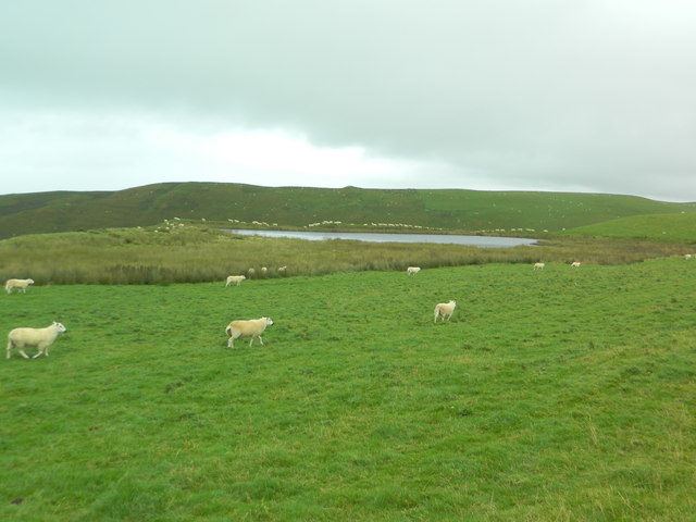
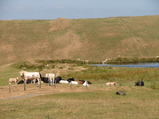
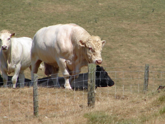
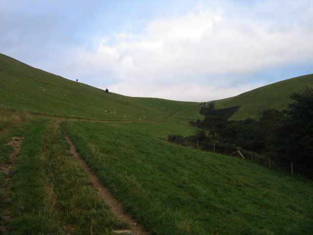
The downs of Rhos Rhydd are characterized by their gently rolling hills, covered in lush green grasses and dotted with vibrant wildflowers. The area is home to a diverse range of flora and fauna, including various species of birds, insects, and small mammals. Walking through these downs provides visitors with a sense of tranquility and a chance to immerse themselves in nature.
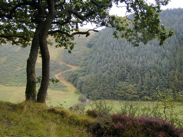
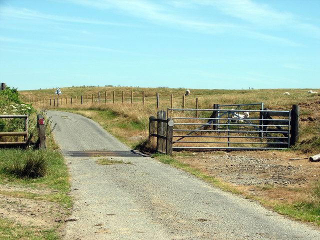
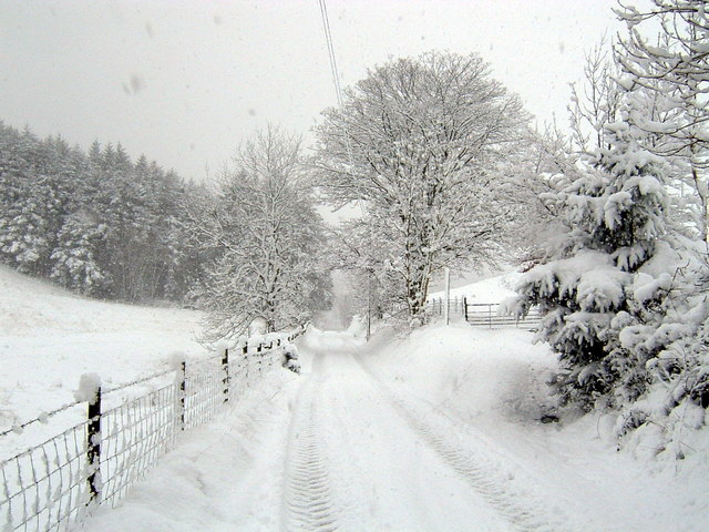
Adjacent to the downs, the moorland of Rhos Rhydd presents a stark contrast with its rugged terrain and heathland vegetation. Heather, gorse, and bracken dominate the landscape, creating a vibrant tapestry of colors throughout the year. This moorland is also home to rare species such as the Eurasian curlew, which adds to the area's ecological significance.
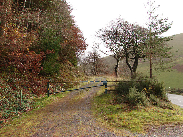
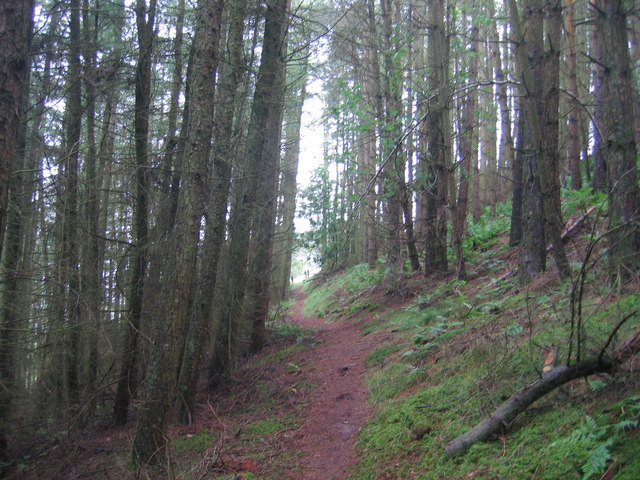
Rhos Rhydd offers numerous opportunities for outdoor activities, including hiking, birdwatching, and photography. Its unspoiled and serene environment provides a peaceful retreat for those seeking solace in nature. Whether exploring the downs or wandering through the moorland, visitors are bound to be captivated by the natural wonders of Rhos Rhydd, making it a must-visit destination in Cardiganshire.
If you have any feedback on the listing, please let us know in the comments section below.
Rhos Rhydd Images
Images are sourced within 2km of 52.357592/-3.9090609 or Grid Reference SN7074. Thanks to Geograph Open Source API. All images are credited.
Rhos Rhydd is located at Grid Ref: SN7074 (Lat: 52.357592, Lng: -3.9090609)
Unitary Authority: Ceredigion
Police Authority: Dyfed Powys
What 3 Words
///pats.outgoing.swatting. Near Llanilar, Ceredigion
Nearby Locations
Related Wikis

Brynafan
Brynafan is a small village in the community of Trawsgoed, Ceredigion, Wales, which is 66.7 miles (107.3 km) from Cardiff and 170.3 miles (274.1 km) from...
Mynydd Bach, Ceredigion
Mynydd Bach, Ceredigion is a hamlet in the community of Pontarfynach, Ceredigion, Wales, which is 68.5 miles (110.3 km) from Cardiff and 170.7 miles (274...

Ceredigion (Senedd constituency)
Ceredigion is a constituency of the Senedd. It elects one Member of the Senedd by the first past the post method of election. It is also one of eight constituencies...

River Ystwyth
The River Ystwyth (Welsh: Afon Ystwyth; [ˈəstʊɨ̯θ]; lit. 'winding river') is a river in Ceredigion, Wales. The length of the main river is 20.5 miles...
Have you been to Rhos Rhydd?
Leave your review of Rhos Rhydd below (or comments, questions and feedback).