Coed Rhos-rydd
Wood, Forest in Cardiganshire
Wales
Coed Rhos-rydd
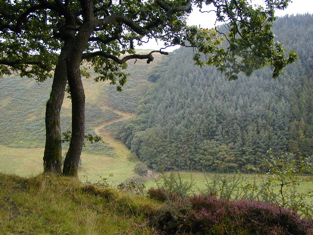
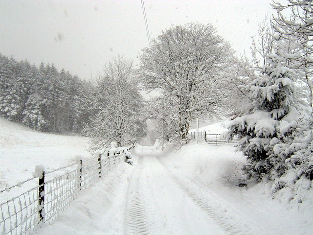
Coed Rhos-rydd, located in Cardiganshire, is a captivating woodland area encompassing a rich variety of trees and vegetation. This enchanting forest is renowned for its natural beauty, offering visitors a tranquil haven to explore and appreciate the wonders of nature.
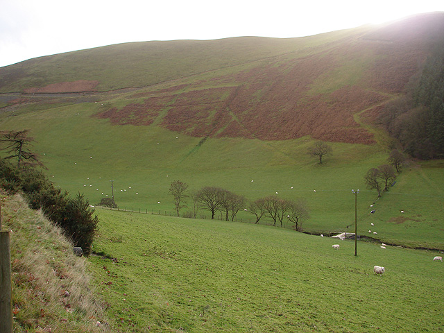
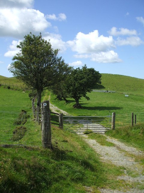
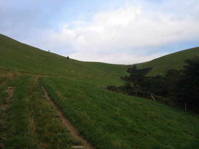
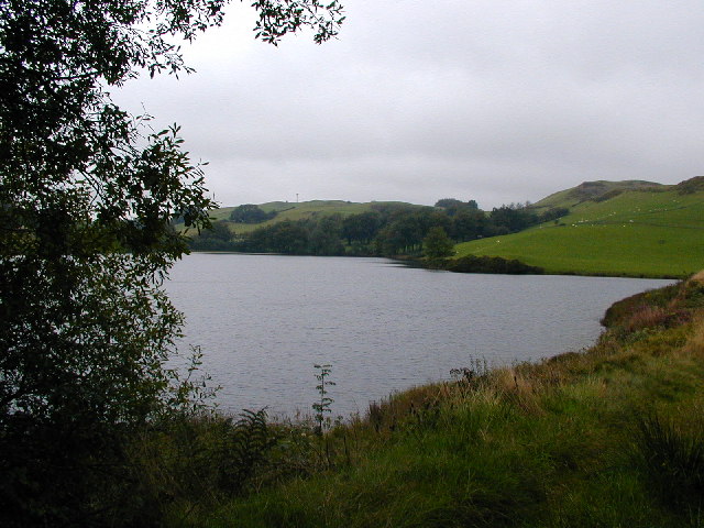
The woodland is situated in a picturesque location, surrounded by rolling hills and breathtaking vistas. It spans an expansive area, providing ample space for leisurely walks and outdoor activities. The diverse range of trees found within Coed Rhos-rydd includes majestic oaks, graceful beeches, and towering pines, creating a visually stunning landscape that changes with the seasons.
The forest is home to an array of wildlife, making it a perfect destination for nature enthusiasts and birdwatchers. Visitors may have the opportunity to spot various species, such as red squirrels, foxes, and a variety of birds, including woodpeckers and owls.
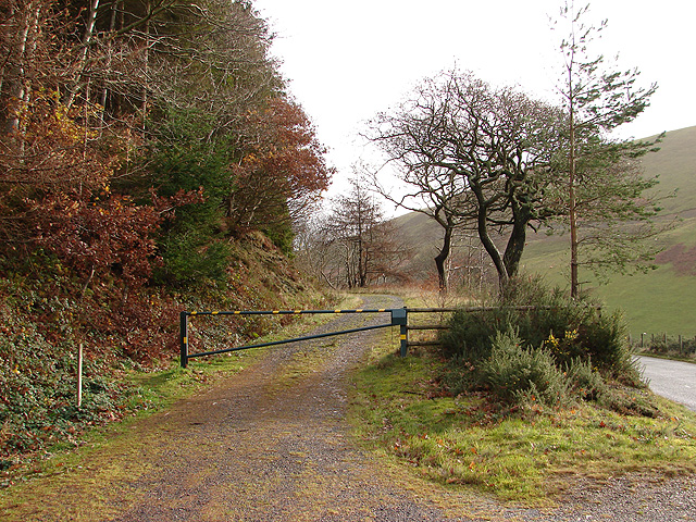
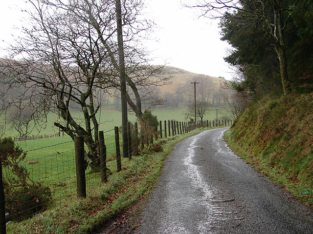
Coed Rhos-rydd offers numerous well-marked trails, allowing visitors to explore the forest at their own pace. Walking through the woodland, visitors can immerse themselves in a peaceful atmosphere, enjoying the soothing sounds of birdsong and the rustling of leaves underfoot.
In addition to its natural splendor, Coed Rhos-rydd also boasts several amenities for visitors to enjoy. There are picnic areas scattered throughout the forest, providing a perfect setting for a leisurely lunch amidst nature. Additionally, educational signs and information boards are strategically placed, offering visitors insights into the history and ecology of the woodland.
Overall, Coed Rhos-rydd is a captivating destination for nature lovers and those seeking a peaceful retreat. Its stunning beauty, diverse wildlife, and well-maintained trails make it a must-visit location for anyone exploring the Cardiganshire region.
If you have any feedback on the listing, please let us know in the comments section below.
Coed Rhos-rydd Images
Images are sourced within 2km of 52.356839/-3.9010985 or Grid Reference SN7074. Thanks to Geograph Open Source API. All images are credited.


Coed Rhos-rydd is located at Grid Ref: SN7074 (Lat: 52.356839, Lng: -3.9010985)
Unitary Authority: Ceredigion
Police Authority: Dyfed Powys
What 3 Words
///combines.scribble.buildings. Near Cwmystwyth, Ceredigion
Nearby Locations
Related Wikis

Brynafan
Brynafan is a small village in the community of Trawsgoed, Ceredigion, Wales, which is 66.7 miles (107.3 km) from Cardiff and 170.3 miles (274.1 km) from...
Mynydd Bach, Ceredigion
Mynydd Bach, Ceredigion is a hamlet in the community of Pontarfynach, Ceredigion, Wales, which is 68.5 miles (110.3 km) from Cardiff and 170.7 miles (274...
New Row
New Row is a hamlet in the community of Pontarfynach, Ceredigion, Wales, which is 66.5 miles (107 km) from Cardiff and 169.5 miles (272.7 km) from London...

River Ystwyth
The River Ystwyth (; Welsh: Afon Ystwyth [ˈəstʊɨ̯θ] "winding river") is a river in Ceredigion, Wales. The length of the main river is 20.5 miles (33.0...

Ceredigion (Senedd constituency)
Ceredigion is a constituency of the Senedd. It elects one Member of the Senedd by the first past the post method of election. It is also one of eight constituencies...

Llanafan, Ceredigion
Llanafan is a small village between Tregaron and Aberystwyth, Ceredigion, in Wales. Llanafan is around ten miles from Aberystwyth and Tregaron. It is named...
Trawscoed fort
Trawscoed fort is a Roman auxiliary fort in Ceredigion, Wales, located near the modern settlement of Trawsgoed and is cut through by the modern B4340 road...
St Afan's Church, Llanafan
Saint Afan's Church (SN68387192) is located in Llanafan, 8 miles (13 km) east of Aberystwyth, Ceredigion, in Wales. == History == The original church on...
Have you been to Coed Rhos-rydd?
Leave your review of Coed Rhos-rydd below (or comments, questions and feedback).