Church Close Plantation

Downs, Moorland in Devon North Devon

England

Church Close Plantation

South West Coast Path The South West Coast Path National Trail - 630 miles of superb coastal walking. From Minehead on the edge of the Exmoor National Park to the shores of Poole Harbour in Dorset. It is the longest of all Britain's National Trails.
Website: <span class="nowrap"><a title="http://www.southwestcoastpath.com/" rel="nofollow ugc noopener" href="http://www.southwestcoastpath.com/">Link</a><img style="margin-left:2px;" alt="External link" title="External link - shift click to open in new window" src="https://s1.geograph.org.uk/img/external.png" width="10" height="10"/></span>
South West Coast Path Credit: Lauren

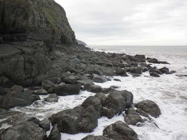
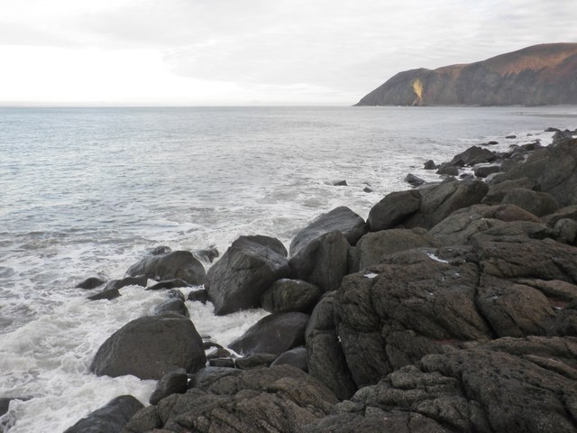
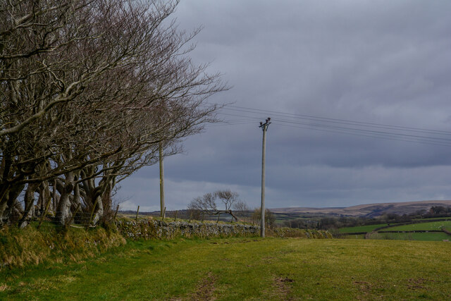
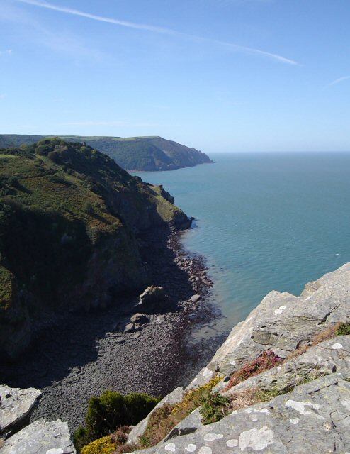
Church Close Plantation is a picturesque woodland located in Devon, England. Situated on the outskirts of the village of Downs, this plantation covers a vast area of both downs and moorland, providing a diverse and stunning natural landscape.

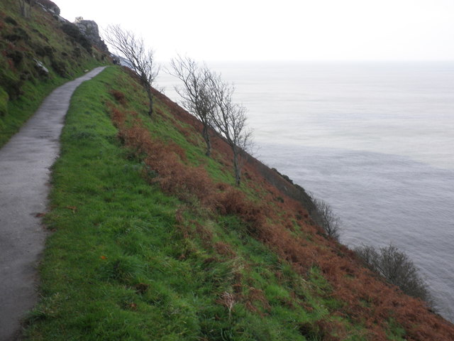
The plantation is predominantly comprised of native tree species such as oak, beech, and birch, and is home to a wide variety of flora and fauna. The dense canopy of the trees creates a tranquil and shaded environment, offering a peaceful retreat for visitors seeking solace in nature.

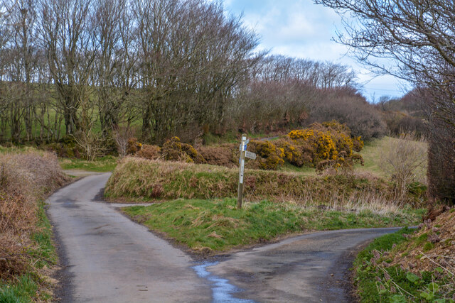
The woodland is crisscrossed by a network of well-maintained footpaths, allowing visitors to explore the area and enjoy its natural beauty. These paths meander through the plantation, leading visitors to hidden alcoves, babbling brooks, and breathtaking viewpoints.

Wildlife enthusiasts will be delighted by the abundance of animal species that call Church Close Plantation their home. From deer and rabbits to a rich array of birdlife, the plantation offers ample opportunities for wildlife observation and photography.

Church Close Plantation is not only a haven for nature lovers but also holds historical significance. The remains of an ancient church can be found within its boundaries, adding an air of mystery and intrigue to the site.

Overall, Church Close Plantation in Devon is a remarkable natural gem, offering a peaceful escape from the hustle and bustle of modern life. With its stunning landscapes, diverse wildlife, and historical charm, it is truly a place that captures the essence of rural England.

If you have any feedback on the listing, please let us know in the comments section below.

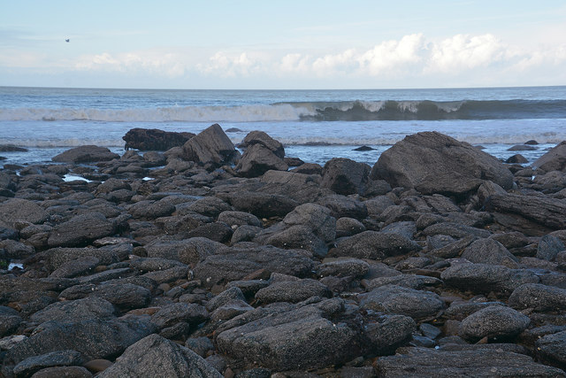
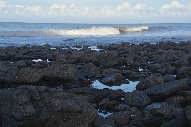
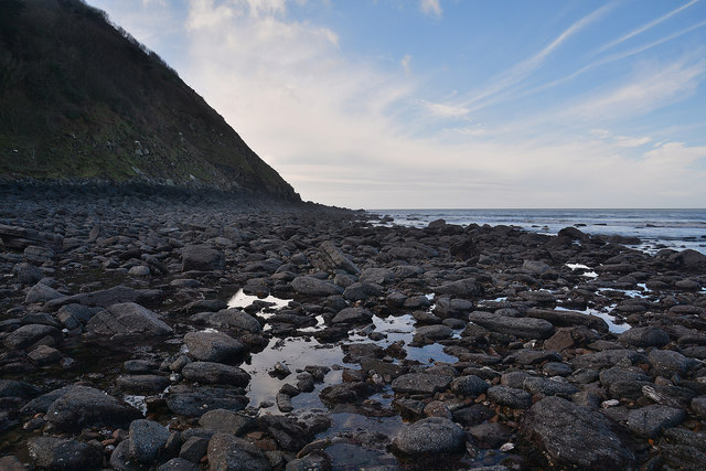
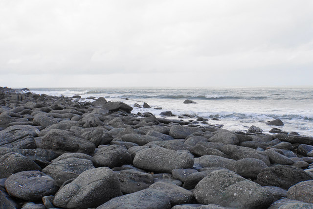
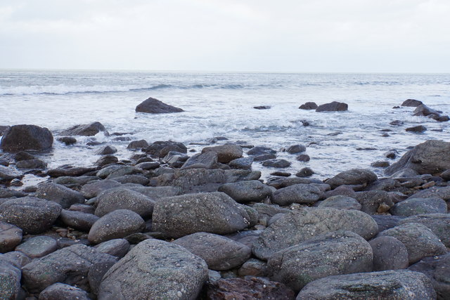
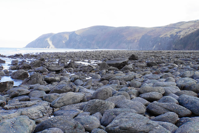
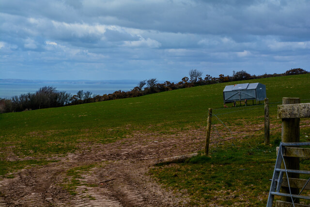
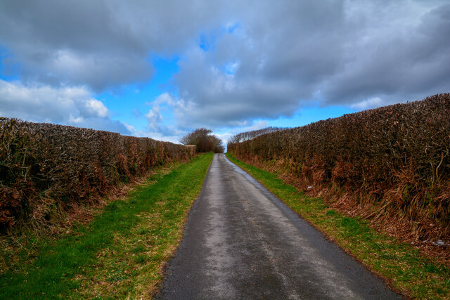
Church Close Plantation Images

Images are sourced within 2km of 51.230296/-3.8621532 or Grid Reference SS7049. Thanks to Geograph Open Source API. All images are credited.

South West Coast Path The South West Coast Path National Trail - 630 miles of superb coastal walking. From Minehead on the edge of the Exmoor National Park to the shores of Poole Harbour in Dorset. It is the longest of all Britain's National Trails.
Website: <span class="nowrap"><a title="http://www.southwestcoastpath.com/" rel="nofollow ugc noopener" href="http://www.southwestcoastpath.com/">Link</a><img style="margin-left:2px;" alt="External link" title="External link - shift click to open in new window" src="https://s1.geograph.org.uk/img/external.png" width="10" height="10"/></span>
South West Coast Path
The South West Coast Path National Trail - 630 miles of superb coastal walking. From Minehead on the edge of the Exmoor National Park to the shores of Poole Harbour in Dorset. It is the longest of all Britain's National Trails. Website: LinkExternal link
Ruddy Ball Ruddy Ball is part of the cliff face in Lynton North Devon. The photograph was taken close to the foot of the cliff at low tide.
Ruddy Ball
Ruddy Ball is part of the cliff face in Lynton North Devon. The photograph was taken close to the foot of the cliff at low tide.
Cliff path, above Ruddy Ball
View west, from Ruddy Ball
Rock slabs, Ruddy Ball
Rising tide, Ruddy Ball
Lynmouth : Coastal Scenery The coastline seen at Lynmouth's Western Beach.
Lynmouth : Coastal Scenery
The coastline seen at Lynmouth's Western Beach.
Lynmouth : Western Beach Looking out across the coastline at low tide.
Lynmouth : Western Beach
Looking out across the coastline at low tide.
Lynmouth : Western Beach Looking along the rocky beach off Lynmouth.
Lynmouth : Western Beach
Looking along the rocky beach off Lynmouth.
Rocky beach near Ruddy Ball The only way to get here is to clamber over rocks at low tide, accessed from the end of the car park.
Rocky beach near Ruddy Ball
The only way to get here is to clamber over rocks at low tide, accessed from the end of the car park.
Incoming tide on Western Beach The only way to get here is to clamber over rocks at low tide, accessed from the end of the car park.
Incoming tide on Western Beach
The only way to get here is to clamber over rocks at low tide, accessed from the end of the car park.
Western Beach Looking towards the mouth of the Lyn. The only way to get here is to clamber over rocks at low tide, accessed from the end of the car park.
Western Beach
Looking towards the mouth of the Lyn. The only way to get here is to clamber over rocks at low tide, accessed from the end of the car park.
Lynton : Grassy Field A grassy field in the countryside.
Lynton : Grassy Field
A grassy field in the countryside.
Lynton : Country Lane A small country lane.
Lynton : Country Lane
A small country lane.
Lynton : Grassy Field A grassy field in the countryside.
Lynton : Grassy Field
A grassy field in the countryside.
Lynton : Lynton Camping and Caravanning Club Site Lynton campsite sits above the Exmoor coast, the highest coastline in England and Wales, and is a stone's throw from the seaside resort of Lynton.
Lynton : Lynton Camping and Caravanning Club Site
Lynton campsite sits above the Exmoor coast, the highest coastline in England and Wales, and is a stone's throw from the seaside resort of Lynton.
Lynton : Lynton Camping and Caravanning Club Site The entrance to the caravan site.
Lynton : Lynton Camping and Caravanning Club Site
The entrance to the caravan site.
Lynton : Lydiate Lane Looking along Lydiate Lane on the left and Dean Lane on the right.
Lynton : Lydiate Lane
Looking along Lydiate Lane on the left and Dean Lane on the right.
Show me another place!

Church Close Plantation is located at Grid Ref: SS7049 (Lat: 51.230296, Lng: -3.8621532)

Administrative County: Devon

District: North Devon

Police Authority: Devon and Cornwall

What 3 Words

///spenders.masking.crunching. Near Lynton, Devon

Related Wikis

Wringcliff Bay

Wringcliff Bay, also known as Wring Cliff Cove, is a bay on the Bristol Channel of northern Devon, England. It lies to the northwest of the village of...

Lee Abbey

Lee Abbey, founded in 1946, is an ecumenical Christian community between Woody Bay and Lynmouth in Devon, England. It is a Grade II listed building. The...

Valley of Rocks

The Valley of Rocks, sometimes called Valley of the Rocks, is a dry valley that runs parallel to the coast in north Devon, England, about 1 kilometre...

Lynton

Lynton is a town on the Exmoor coast in the North Devon district in the county of Devon, England, approximately 17 miles (27 km) north-east of Barnstaple...

Related Videos

LYNTON | Exploring the holiday seaside town of Lynton Devon

Lynton is a charming seaside holiday town located in the heart of the Exmoor National Park in Devon, England. It is a popular ...

Valley of the Rocks in Exmoor! #ukdaysout #walking #Devon

We walked along a small section of the South West Coast Path in Exmoor National Park to visit the Valley of the Rocks. The Valley ...

EXPLORING LYNTON & LYNMOUTH - NORTH DEVON

caravan #caravanning #caravanlife Welcome to my Channel - In tihs video Karen & I have a run out to do some Exploring of ...

Hiking England’s South West Coast Path - and Seeing Mountain Goats!

We went hiking along the South West Coast Path in the Exmoor area of North Devon. In this video we highlight our visits to Woody ...
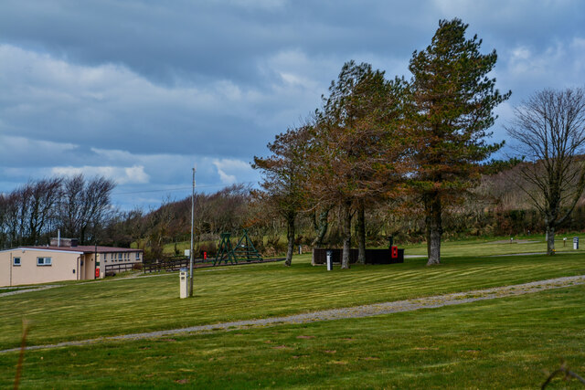
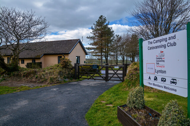
Nearby Amenities

Located within 500m of 51.230296,-3.8621532
Source: PGS
Lat/Long: 51.2333383/-3.8579016
Source: PGS
Lat/Long: 51.2330717/-3.859218
Source: PGS
Lat/Long: 51.2329862/-3.8594369
Source: PGS
Lat/Long: 51.2324837/-3.8601156
Source: PGS
Lat/Long: 51.2322944/-3.8603534
Source: PGS
Lat/Long: 51.2317259/-3.8611878
Source: PGS
Lat/Long: 51.2316615/-3.8614211
Source: PGS
Lat/Long: 51.2316675/-3.8616996
Source: PGS
Lat/Long: 51.231729/-3.8619245
Source: PGS
Lat/Long: 51.2316714/-3.8623336
Source: PGS
Lat/Long: 51.2316779/-3.8632874
Source: PGS
Lat/Long: 51.2317635/-3.863566
Source: PGS
Lat/Long: 51.2318281/-3.8637052
Source: PGS
Lat/Long: 51.2318221/-3.8638007
Source: PGS
Lat/Long: 51.2317864/-3.863974
Source: PGS
Lat/Long: 51.2318012/-3.8641728
Source: PGS
Lat/Long: 51.2318558/-3.8643086
Source: PGS
Lat/Long: 51.2318706/-3.8644294
Source: PGS
Lat/Long: 51.2318229/-3.8651722
Source: PGS
Lat/Long: 51.231702/-3.8652689
Source: PGS
Lat/Long: 51.2316891/-3.865572
Source: PGS
Lat/Long: 51.2316977/-3.8658701
Source: PGS
Lat/Long: 51.231546/-3.8666374
Source: PGS
Lat/Long: 51.2314848/-3.8682445
Source: PGS
Lat/Long: 51.231486/-3.8687781
Barrier: cattle_grid
Bicycle: yes
Motorcycle: yes
Lat/Long: 51.2295901/-3.8606582
Barrier: kissing_gate
Lat/Long: 51.2270896/-3.8611974
Place Of Worship
Lee Abbey Christian Conference, Retreat and Holiday Centre
Religion: christian
Website: https://leeabbeydevon.org.uk
Wikidata: Q6512924
Wikipedia: en:Lee Abbey
Lat/Long: 51.2277563/-3.8656452
Castle Rock
Image: https://archive.org/details/lynmouth-2021-09-07/DSCN4539.JPG
Natural: rock
Lat/Long: 51.2320023/-3.8579499
Wringcliff Bay
Natural: bay
Wikidata: Q16897669
Wikipedia: en:Wringcliff Bay
Lat/Long: 51.2316264/-3.8607293
Post Box
Brand: Royal Mail
Brand Wikidata: Q638098
Brand Wikipedia: en:Royal Mail
Collection Times: Mo-Fr 16:30; Sa 11:00
Operator: Royal Mail
Operator Wikidata: Q638098
Post Box Mounting: wall
Post Box Type: wall
Ref: EX35 242
Royal Cypher: GR
Royal Cypher Wikidata: Q33102273
Lat/Long: 51.2271036/-3.8657038
Barrier: toll_booth
Currency GBP: yes
Payment Coins: yes
Lat/Long: 51.2271229/-3.8652864
The Beacon Outdoor Activity Centre
Leisure: sports_centre
Lat/Long: 51.2282821/-3.8645183
Bench
Lat/Long: 51.2267501/-3.8657189
The data included in this document is from www.openstreetmap.org. The data is made available under ODbL.

Have you been to Church Close Plantation?

Leave your review of Church Close Plantation below (or comments, questions and feedback).