South Wrick Down
Downs, Moorland in Devon North Devon
England
South Wrick Down
South Wrick Down, located in Devon, England, is a captivating area of downs and moorland that offers breathtaking natural beauty and a rich history. This enchanting landscape stretches across approximately 300 hectares and is situated within the Dartmoor National Park.
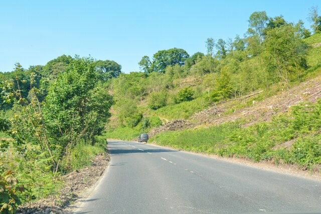
The downs of South Wrick Down are characterized by rolling hills and vast open spaces covered in lush grasses and heather, creating a picturesque setting. Its elevation ranges from 300 to 450 meters, allowing for panoramic views of the surrounding countryside. The area is abundant in wildlife, including various bird species, butterflies, and small mammals, making it a haven for nature enthusiasts and photographers.
The moorland of South Wrick Down is marked by a rugged terrain with rocky outcrops and peat bogs, adding to its untamed charm. Here, visitors can explore the ancient remains of Bronze Age settlements, stone circles, and burial mounds, providing a glimpse into the area's intriguing past. The moorland also hosts a diverse range of flora, including wildflowers, ferns, and mosses, creating a vibrant and ever-changing landscape throughout the seasons.
South Wrick Down offers numerous walking and hiking trails, allowing visitors to fully immerse themselves in its natural splendor. The area is also a popular spot for outdoor activities such as horseback riding, mountain biking, and birdwatching.
With its unspoiled beauty and historical significance, South Wrick Down, Devon is a must-visit destination for those seeking a tranquil escape into nature and a chance to connect with the rich heritage of the area.
If you have any feedback on the listing, please let us know in the comments section below.
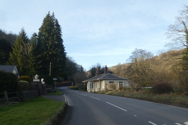
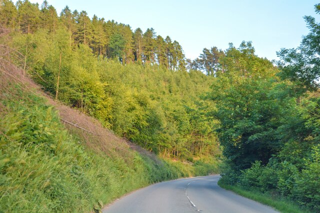
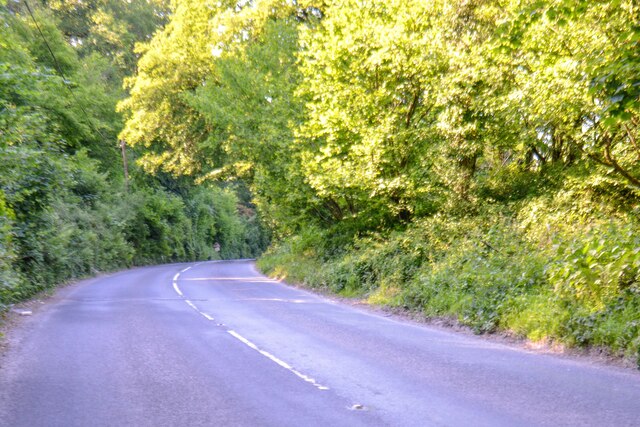
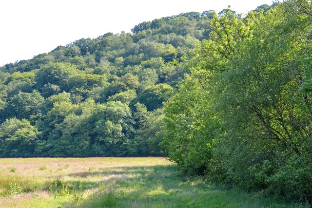
South Wrick Down Images
Images are sourced within 2km of 51.070223/-3.8721627 or Grid Reference SS6831. Thanks to Geograph Open Source API. All images are credited.


South Wrick Down is located at Grid Ref: SS6831 (Lat: 51.070223, Lng: -3.8721627)
Administrative County: Devon
District: North Devon
Police Authority: Devon and Cornwall
What 3 Words
///leader.easygoing.mattress. Near South Molton, Devon
Related Wikis

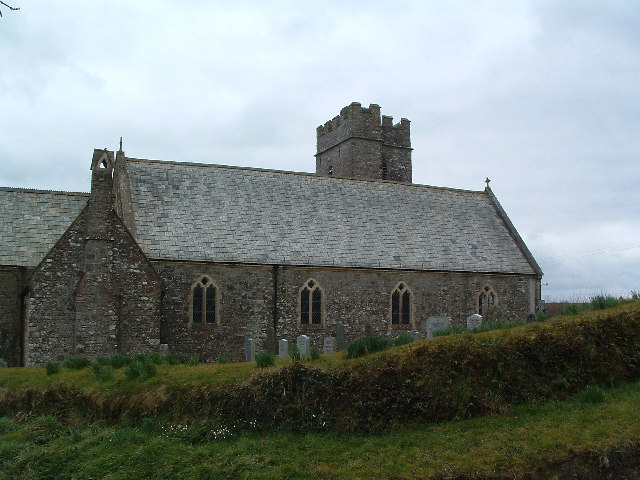
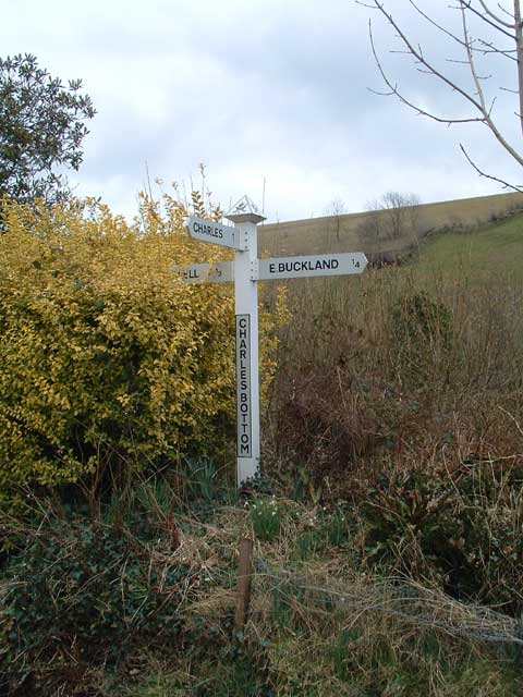
East Buckland
East Buckland is a small village and former civil parish, now in the parish of East and West Buckland, in the North Devon district of Devon, England, next...

East and West Buckland
East and West Buckland is a civil parish in the English county of Devon. Forming part of the district of North Devon its main settlements are West Buckland...

Brayford
Brayford is a village and civil parish in Devon, England, situated about 5 miles (8.0 km) from South Molton and 6 miles (9.7 km) from Barnstaple. It lies...

High Bray
High Bray is a village, church of England parish and former civil parish, now in the parish of Brayford, in the North Devon district, in the county of...
Have you been to South Wrick Down?
Leave your review of South Wrick Down below (or comments, questions and feedback).