Mill Wood
Wood, Forest in Devon North Devon
England
Mill Wood
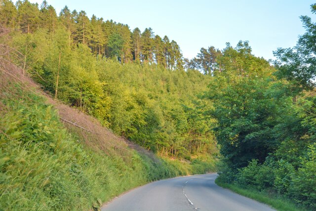
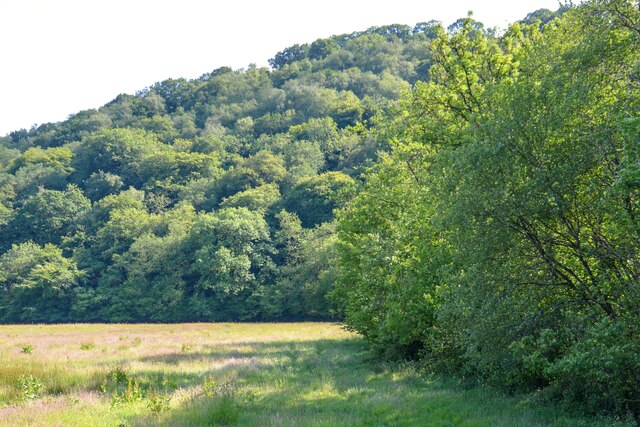
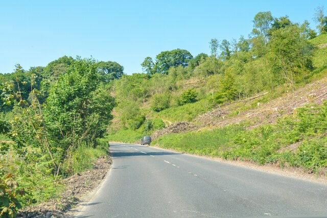
Mill Wood is a picturesque forest located in Devon, England. Covering an area of approximately 50 acres, it is nestled in the heart of the beautiful countryside, offering a tranquil and serene environment for visitors to explore. The woodland is known for its diverse range of tree species, including oak, beech, and birch, creating a rich and varied ecosystem.
The forest is home to an abundance of wildlife, making it a popular spot for nature enthusiasts and birdwatchers. Visitors may catch glimpses of deer, foxes, and a variety of bird species, including woodpeckers and owls. The wood is also home to a range of plant species, including bluebells and wild garlic, which provide a stunning display of colors during the spring months.
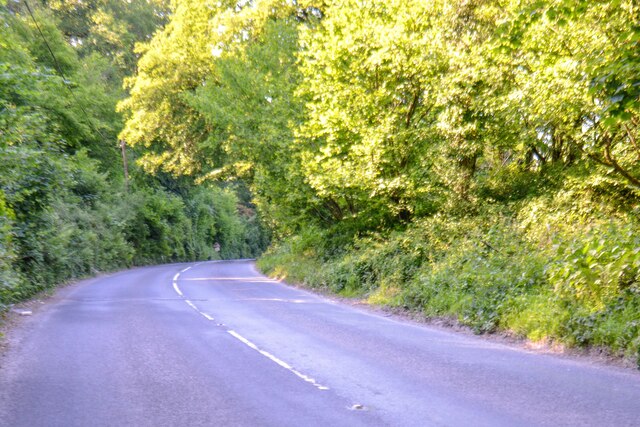
The woodland is crisscrossed with a network of well-maintained walking trails, allowing visitors to explore its beauty at their own pace. These trails offer varying levels of difficulty, catering to both casual walkers and more experienced hikers. Along the way, there are informative signposts providing details about the woodland's history and the different flora and fauna that can be found.
Mill Wood offers more than just natural beauty. The forest is steeped in history, with remnants of an old mill that once operated in the area. These historical features add an intriguing element to the woodland, allowing visitors to step back in time and imagine what life was like in the past.
Overall, Mill Wood in Devon is a captivating destination for nature lovers and history enthusiasts alike. Its stunning landscapes, diverse wildlife, and rich history make it a must-visit location for anyone seeking a peaceful and immersive experience in the heart of nature.
If you have any feedback on the listing, please let us know in the comments section below.
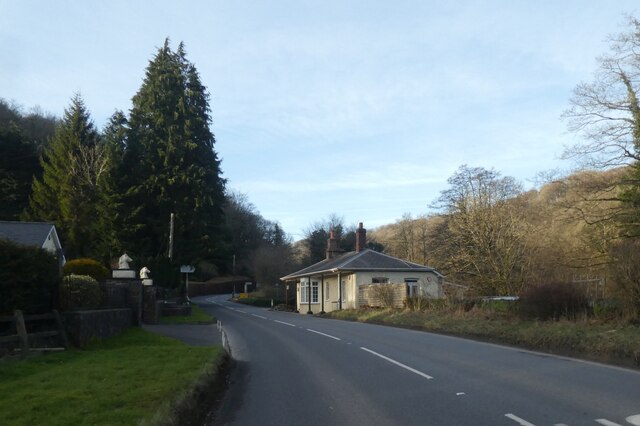
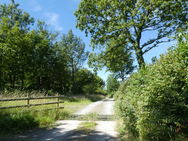
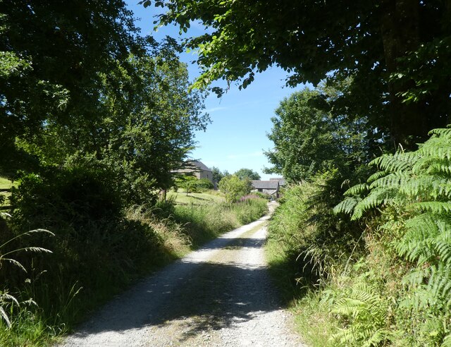
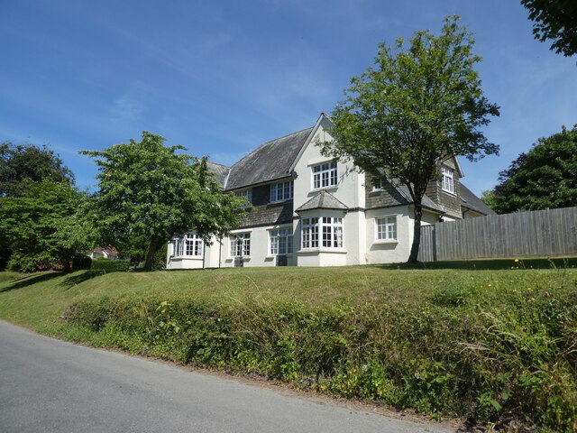
Mill Wood Images
Images are sourced within 2km of 51.068452/-3.8844377 or Grid Reference SS6831. Thanks to Geograph Open Source API. All images are credited.


Mill Wood is located at Grid Ref: SS6831 (Lat: 51.068452, Lng: -3.8844377)
Administrative County: Devon
District: North Devon
Police Authority: Devon and Cornwall
What 3 Words
///lamplight.trending.push. Near South Molton, Devon
Related Wikis

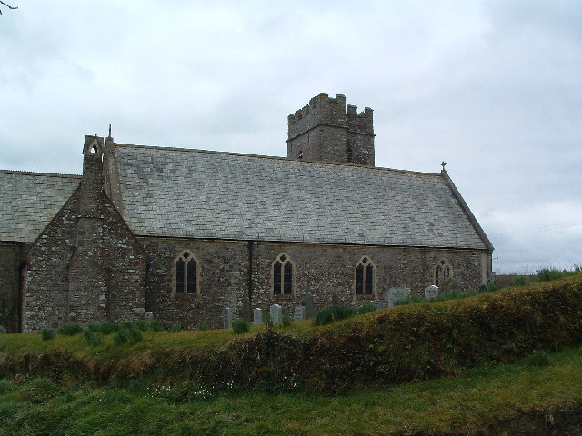
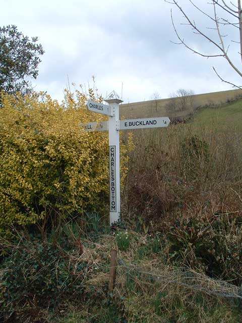
East Buckland
East Buckland is a small village and former civil parish, now in the parish of East and West Buckland, in the North Devon district of Devon, England, next...

East and West Buckland
East and West Buckland is a civil parish in the English county of Devon. Forming part of the district of North Devon its main settlements are West Buckland...

Brayford
Brayford is a village and civil parish in Devon, England, situated about 5 miles (8.0 km) from South Molton and 6 miles (9.7 km) from Barnstaple. It lies...

West Buckland, Devon
West Buckland is a small village and former manor, now in the parish of East and West Buckland, in the North Devon district, in the county of Devon, England...
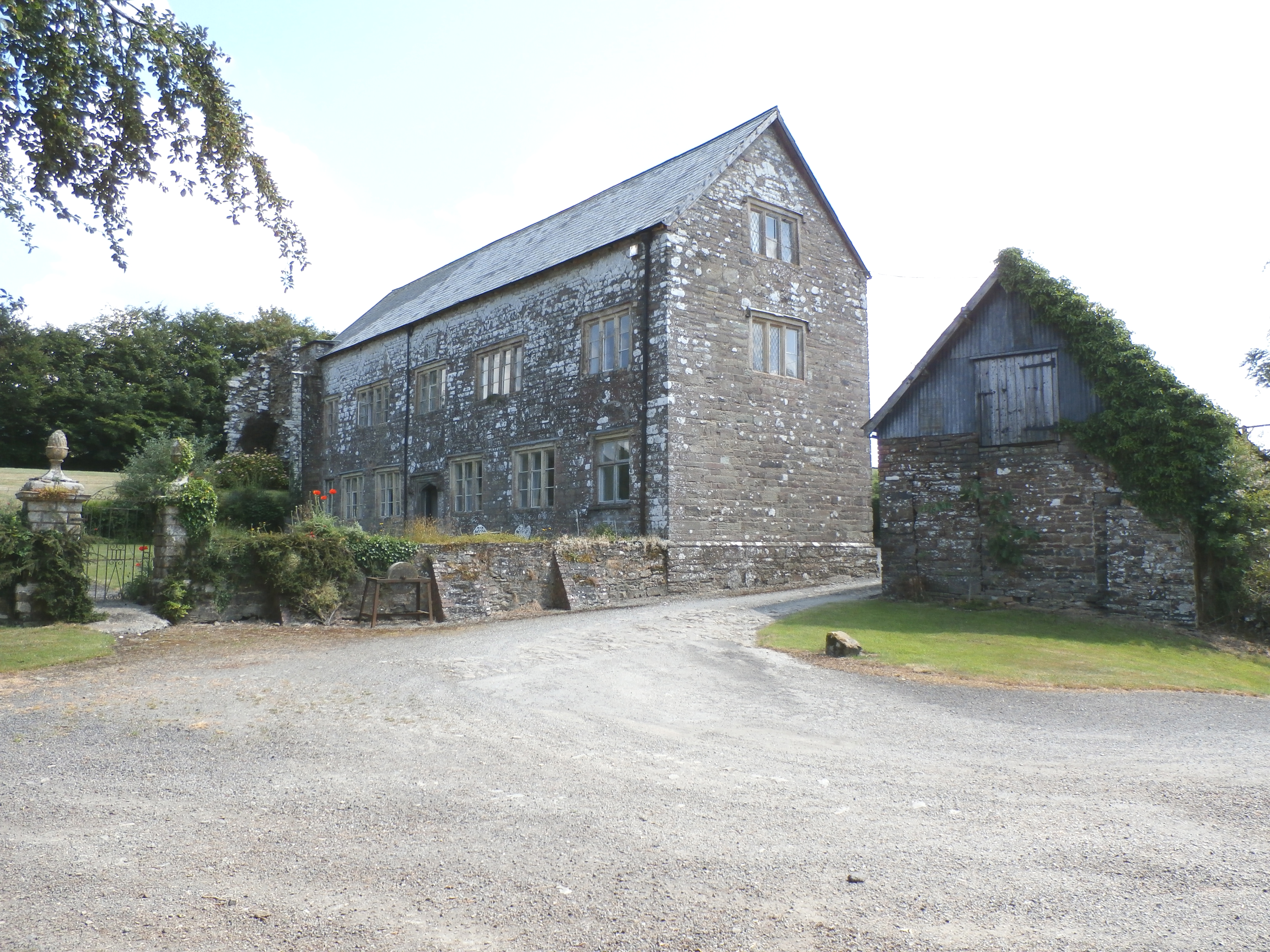
Bremridge
Bremridge is a historic estate within the former hundred of South Molton in Devon, England. It is now within the parish of Filleigh but was formerly in...

Bremridge Wood
Bremridge Wood formerly part of the Domesday Book estate of Bremridge near South Molton, Devon, England, is the site of an Iron Age enclosure or hill fort...

High Bray
High Bray is a village, church of England parish and former civil parish, now in the parish of Brayford, in the North Devon district, in the county of...
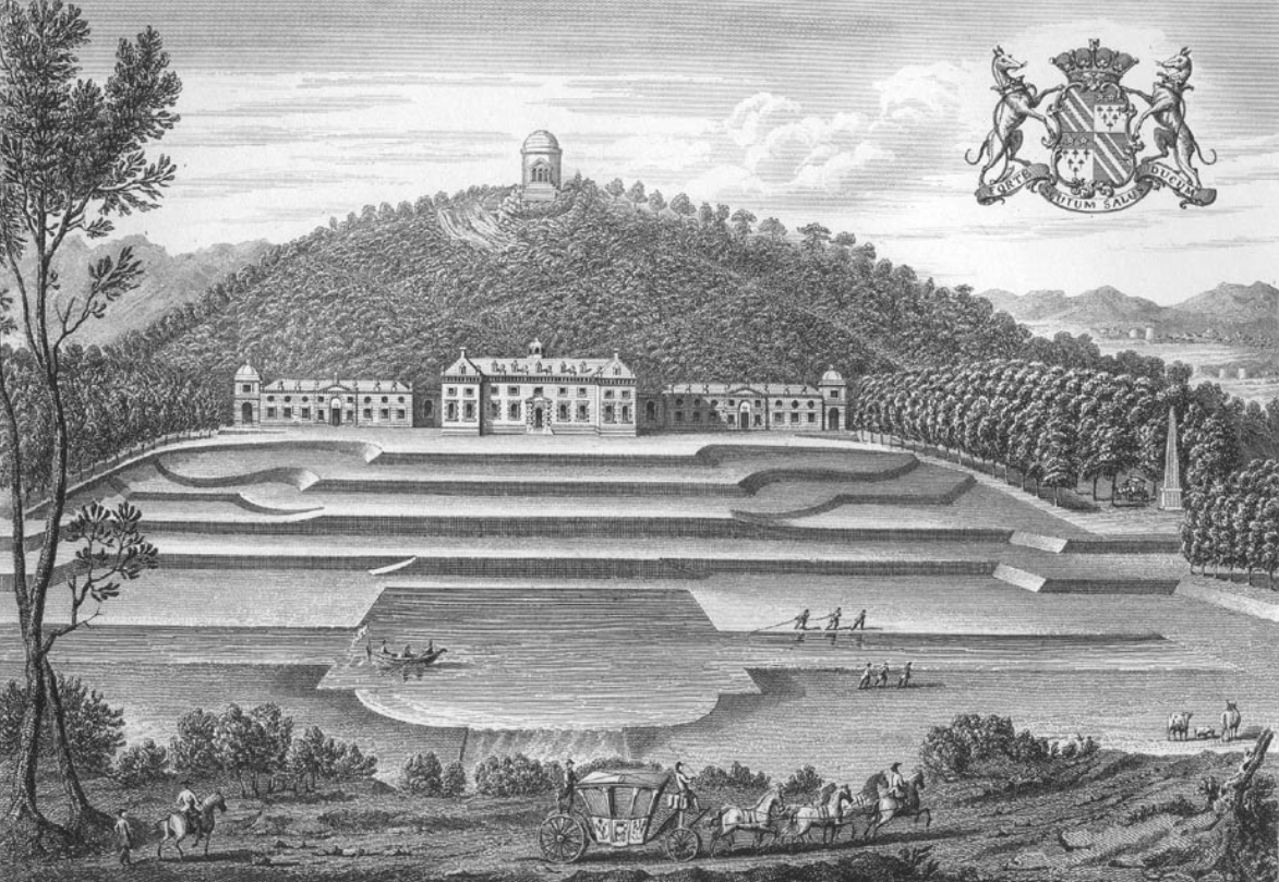
Castle Hill, Filleigh
Castle Hill in the parish of Filleigh in North Devon, is an early Neo-Palladian country house situated 3 miles (5 kilometres) north-west of South Molton...
Nearby Amenities
Located within 500m of 51.068452,-3.8844377Have you been to Mill Wood?
Leave your review of Mill Wood below (or comments, questions and feedback).