King's Nympton Moor
Downs, Moorland in Devon North Devon
England
King's Nympton Moor
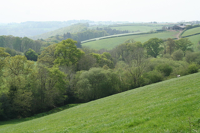
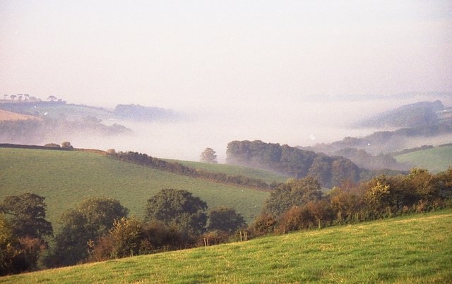
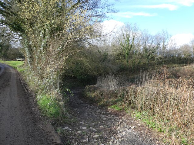
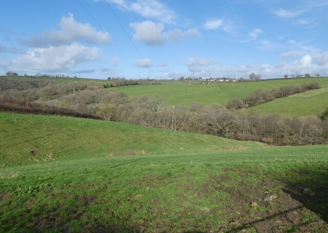
King's Nympton Moor is a picturesque expanse of moorland located in the county of Devon, England. Situated near the village of King's Nympton, this rural landscape offers a captivating blend of rolling hills, open grasslands, and heathlands, covering an area of approximately 1,000 acres.
The moorland boasts a diverse range of flora and fauna, making it a haven for nature enthusiasts and wildlife lovers. Visitors can expect to encounter an array of rare and protected species, including the Dartford Warbler, the Silver-studded Blue butterfly, and the Exmoor Pony, which roam freely across the moor. The unique combination of acidic soils and varying habitats creates an ideal environment for these species to thrive.
Traversing the moor, one can discover several ancient archaeological features that provide insight into its rich history. Ancient stone circles, burial mounds, and remnants of Bronze Age settlements are scattered throughout the landscape, offering a glimpse into the lives of early inhabitants.
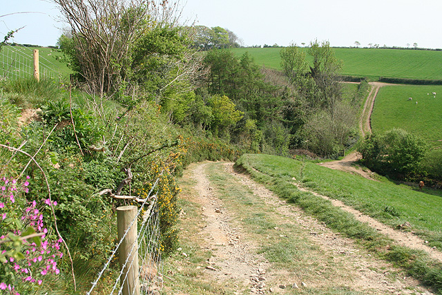
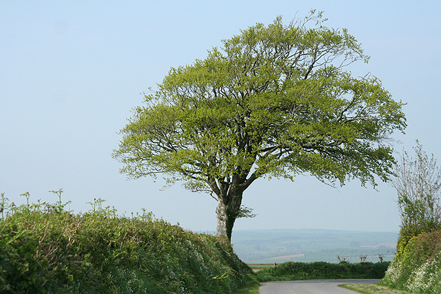
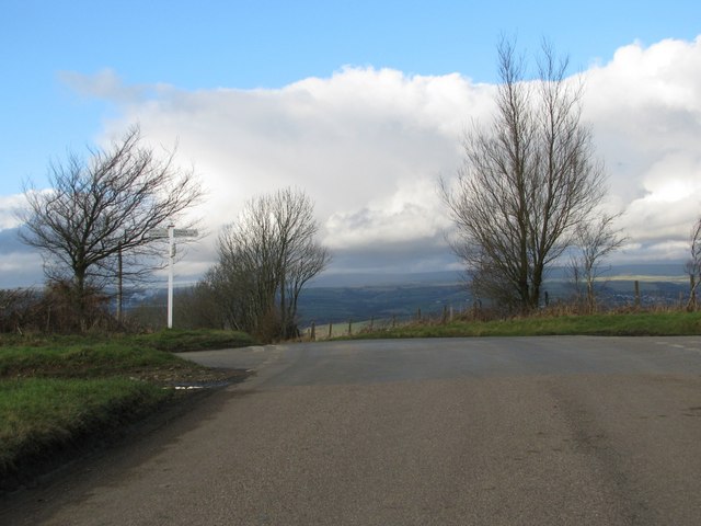
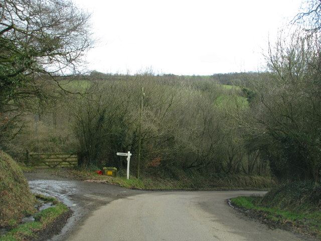
King's Nympton Moor offers a tranquil and serene atmosphere, providing a perfect escape from the hustle and bustle of everyday life. Walking and hiking trails crisscross the moor, allowing visitors to explore its vast expanses and take in the breathtaking panoramic views of the surrounding countryside.
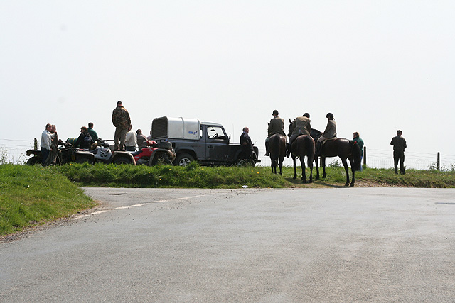
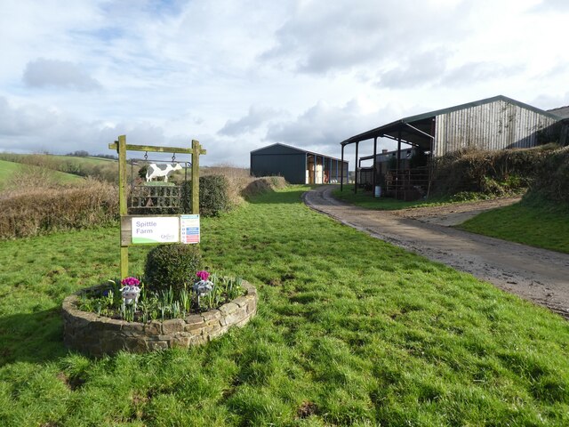
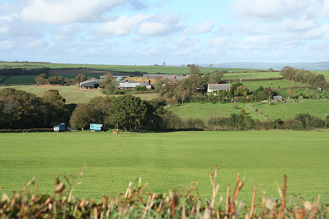
In addition to its natural beauty, King's Nympton Moor also serves as a vital grazing area for local livestock, contributing to the region's agricultural heritage. It is not uncommon to see sheep and cattle grazing peacefully on the moor, enhancing the pastoral charm of the area.
Overall, King's Nympton Moor is a captivating and ecologically significant landscape, offering a unique blend of history, natural beauty, and tranquility to all who visit.
If you have any feedback on the listing, please let us know in the comments section below.
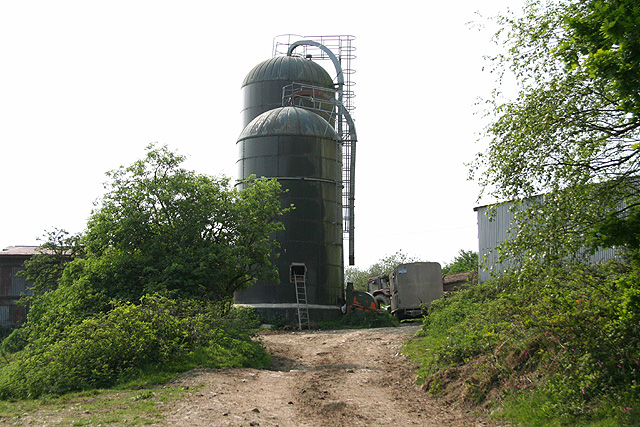
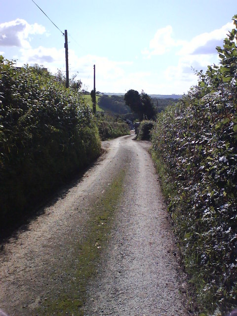
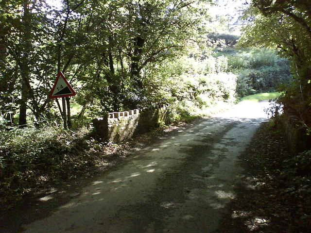
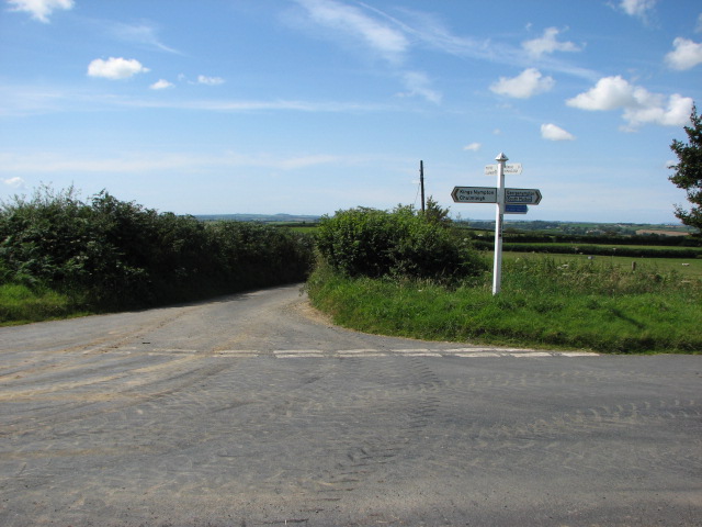
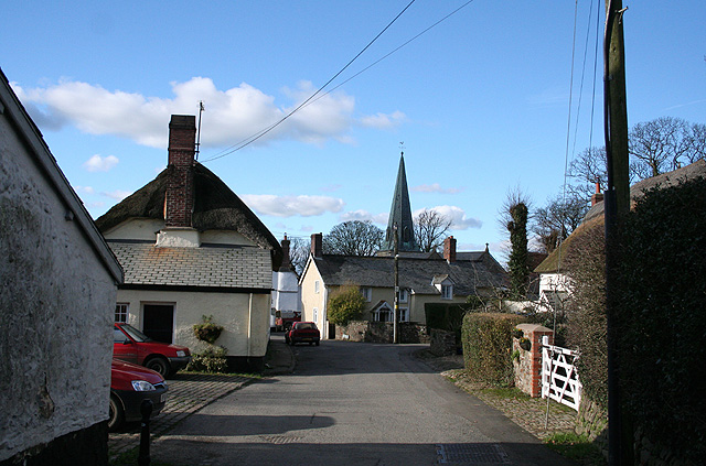
King's Nympton Moor Images
Images are sourced within 2km of 50.962955/-3.869726 or Grid Reference SS6819. Thanks to Geograph Open Source API. All images are credited.


King's Nympton Moor is located at Grid Ref: SS6819 (Lat: 50.962955, Lng: -3.869726)
Administrative County: Devon
District: North Devon
Police Authority: Devon and Cornwall
What 3 Words
///confident.shepherds.shut. Near Chulmleigh, Devon
Nearby Locations
Related Wikis
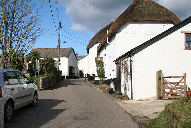
King's Nympton
King's Nympton (Latinised to Nymet Regis) is a village, parish and former manor in the North Devon district, in Devon, England, in the heart of the rolling...

River Bray
The River Bray is a small river in North Devon, England. It is a tributary of the River Mole, which in turn is a tributary of the River Taw. It rises in...
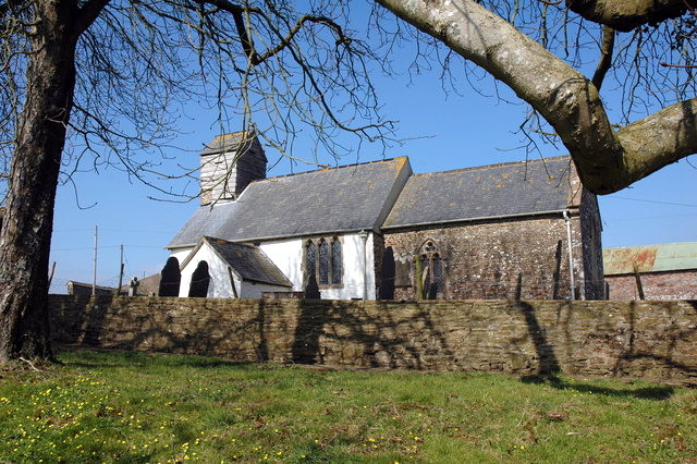
St Peter's Church, Satterleigh
St Peter's Church in Satterleigh, Devon, England was built in the 15th century. It is recorded in the National Heritage List for England as a designated...

George Nympton
George Nympton or Nymet St George is a small village and civil parish in North Devon district, Devon, England. In the 2011 census it was recorded as having...
Nearby Amenities
Located within 500m of 50.962955,-3.869726Have you been to King's Nympton Moor?
Leave your review of King's Nympton Moor below (or comments, questions and feedback).