Way Down
Downs, Moorland in Devon West Devon
England
Way Down
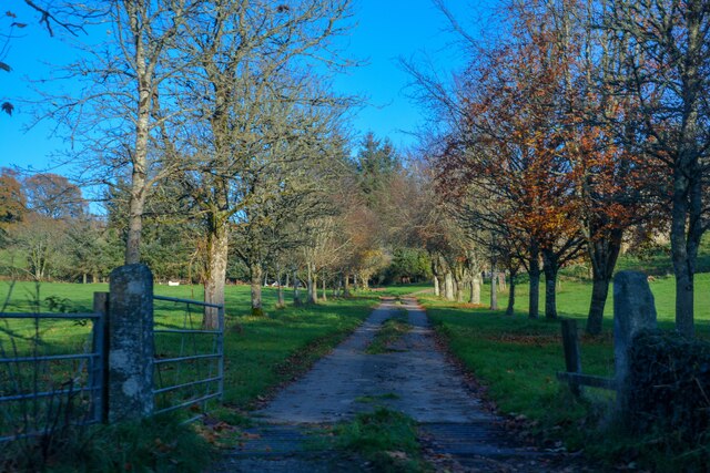
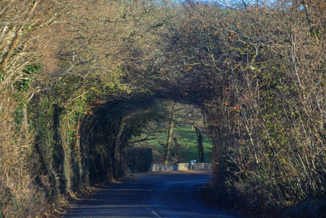
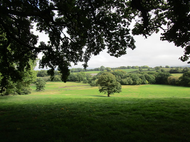
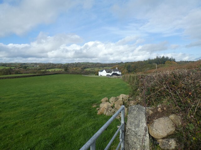
Way Down, Devon, also known as Downs or Moorland, is a picturesque region located in the southwestern part of England. It is renowned for its stunning natural beauty, diverse landscapes, and rich cultural heritage. Covering an area of approximately 1,500 square miles, Way Down is home to rolling hills, vast moorlands, deep river valleys, and dramatic cliffs that offer breathtaking panoramic views.
The region is characterized by its unique ecosystem, comprising of heathlands, bogs, and ancient woodlands, which provide habitats for a wide range of plant and animal species. The area is particularly famous for its vibrant wildlife, including rare bird species, such as the Dartford warbler and the cuckoo.
Way Down has a fascinating history that dates back thousands of years. It is dotted with numerous historical sites and landmarks, such as ancient stone circles, burial mounds, and medieval castles. One of the most famous landmarks in the region is Dartmoor, a vast open moorland that inspired renowned authors like Sir Arthur Conan Doyle and Agatha Christie.
The region offers ample opportunities for outdoor activities and adventure. Visitors can explore the numerous hiking trails, go horseback riding, or enjoy cycling through the scenic countryside. Way Down is also a popular destination for water sports enthusiasts, with its rivers and reservoirs offering opportunities for kayaking, fishing, and sailing.
In addition to its natural wonders, Way Down boasts charming villages and towns that showcase the region's rich cultural heritage. Visitors can immerse themselves in local traditions and sample delicious regional cuisine in the traditional pubs and restaurants.
Overall, Way Down, Devon, offers a perfect blend of stunning landscapes, fascinating history, and outdoor activities, making it an ideal destination for nature lovers and history enthusiasts alike.
If you have any feedback on the listing, please let us know in the comments section below.
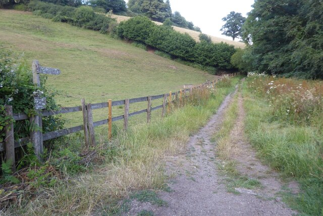
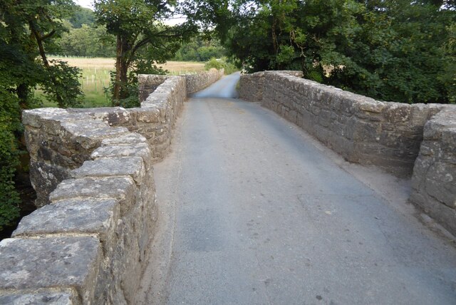
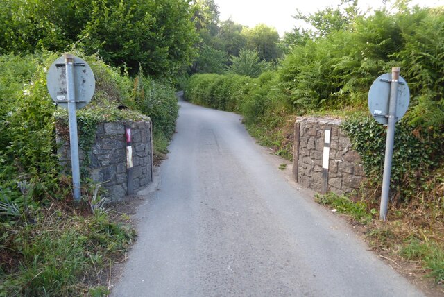
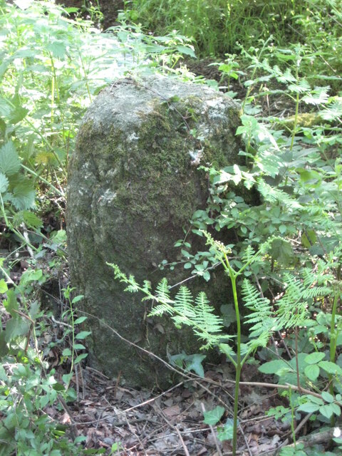
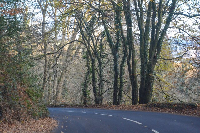
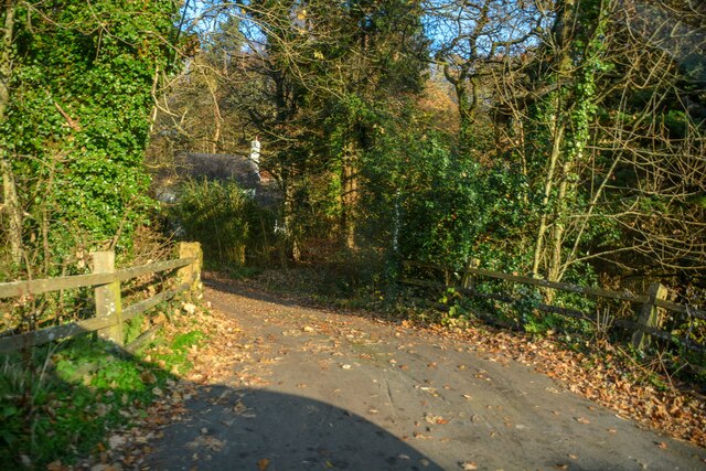
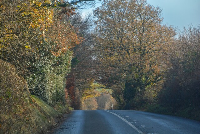
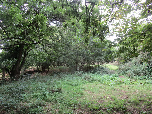
Way Down Images
Images are sourced within 2km of 50.686905/-3.8581896 or Grid Reference SX6889. Thanks to Geograph Open Source API. All images are credited.


Way Down is located at Grid Ref: SX6889 (Lat: 50.686905, Lng: -3.8581896)
Administrative County: Devon
District: West Devon
Police Authority: Devon and Cornwall
What 3 Words
///perfumed.irritable.advice. Near Chagford, Devon
Nearby Locations
Related Wikis

Gidleigh Park
Gidleigh Park is a hotel and restaurant located in Gidleigh, near Chagford, Devon, England. Chris Eden joined as Executive Head Chef in September 2019...

Gidleigh
Gidleigh is a village and civil parish in the West Devon district of Devon, England. Located within Dartmoor National Park, the parish is surrounded clockwise...
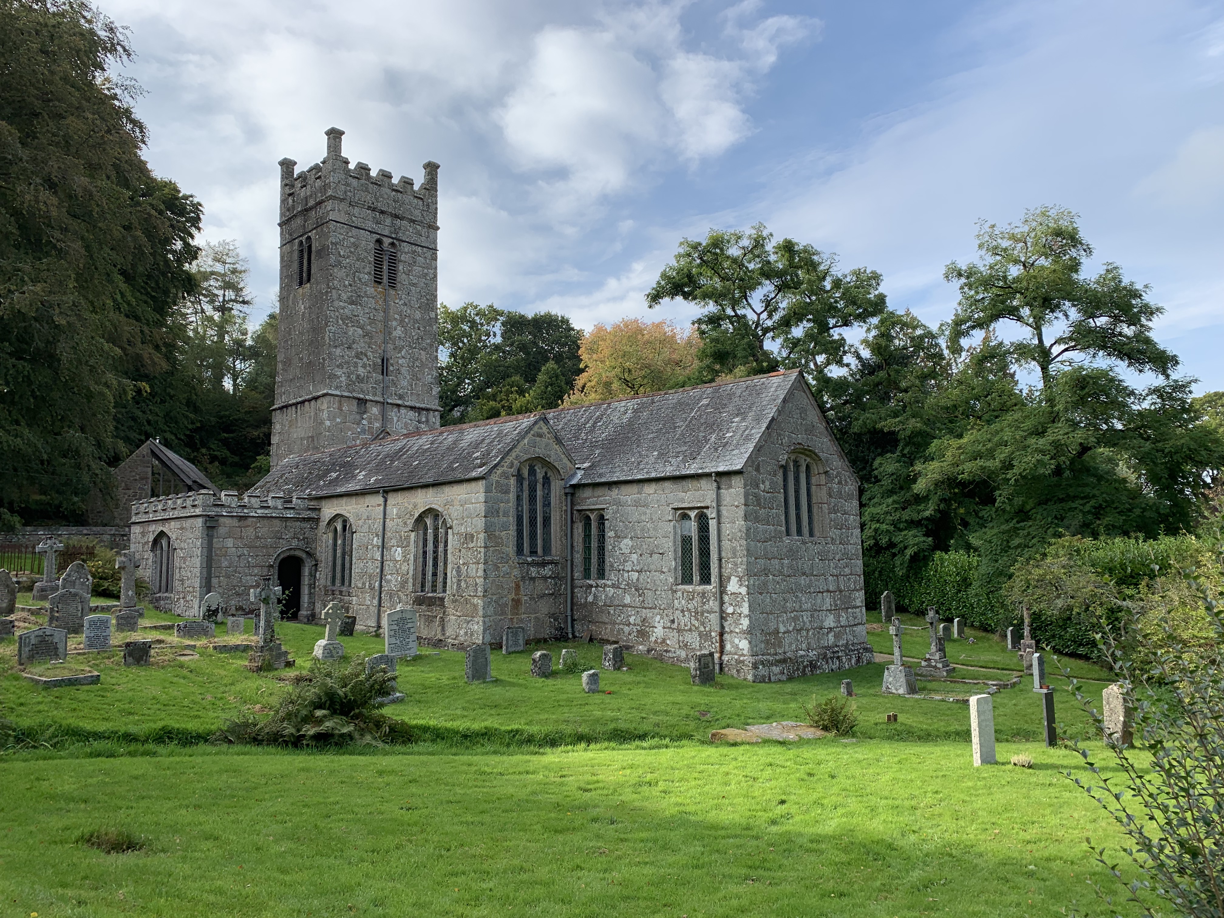
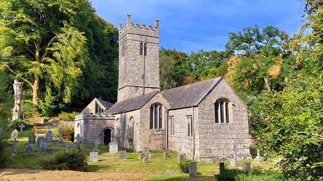
Holy Trinity Church, Gidleigh
Holy Trinity Church, Gidleigh dates from the late 15th-century, and is a Grade I listed parish church in the Church of England Diocese of Exeter in Gidleigh...

Gidleigh Castle
Gidleigh Castle was the manor house of the manor of Gidleigh on the north-eastern edge of Dartmoor, about two miles (3.2 km) north-west of the town of...
Nearby Amenities
Located within 500m of 50.686905,-3.8581896Have you been to Way Down?
Leave your review of Way Down below (or comments, questions and feedback).