King's Nympton
Settlement in Devon North Devon
England
King's Nympton
King's Nympton is a picturesque village located in the North Devon district of Devon, England. Situated on the southern edge of the rolling hills of Exmoor National Park, the village is surrounded by stunning countryside and offers breathtaking views. With a population of around 500 residents, King's Nympton exudes a peaceful and close-knit community atmosphere.
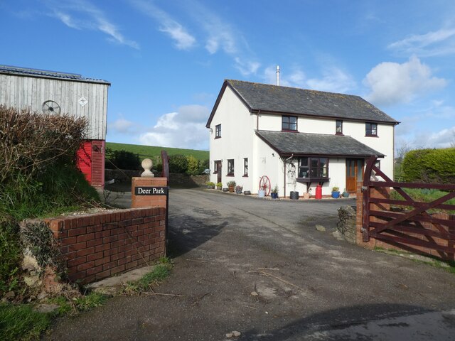
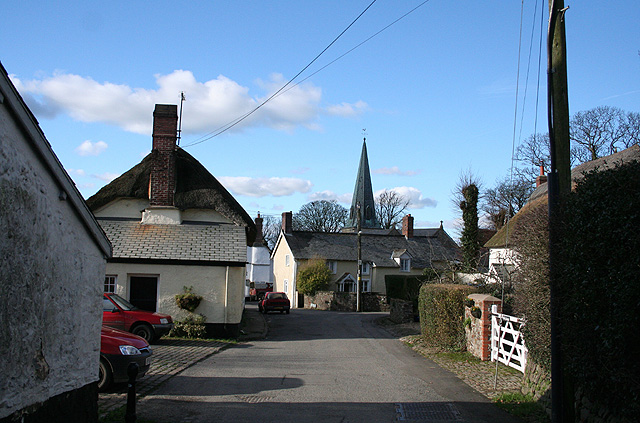
The village is known for its charming thatched cottages, traditional stone buildings, and well-preserved historic architecture. The centerpiece of King's Nympton is the St. James Church, a beautiful 15th-century structure with intricate stained glass windows and a magnificent tower. The village also boasts a primary school, a village hall, and a local pub, providing essential amenities to its residents.
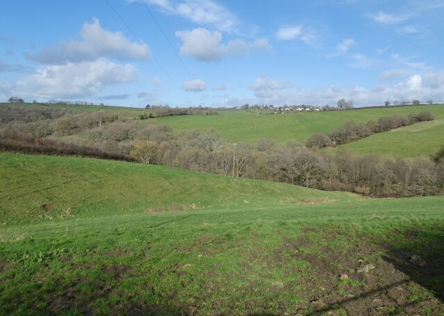
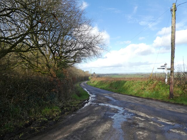
Nature lovers will appreciate the tranquil surroundings, as King's Nympton is nestled amidst lush green fields and woodlands. The area offers plenty of opportunities for outdoor activities such as hiking, cycling, and horse riding. The nearby River Mole provides fantastic fishing spots for angling enthusiasts.
The village holds various community events throughout the year, including the popular King's Nympton Beer Festival and the annual summer fete. These events bring locals and visitors together, fostering a strong sense of community spirit.
For those seeking a slower pace of life in a quintessentially English village, King's Nympton offers a delightful escape. Its idyllic setting, rich history, and friendly community make it a truly special place to visit or call home.
If you have any feedback on the listing, please let us know in the comments section below.
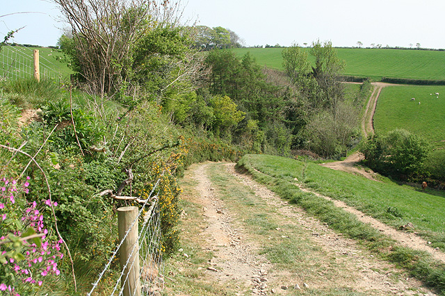
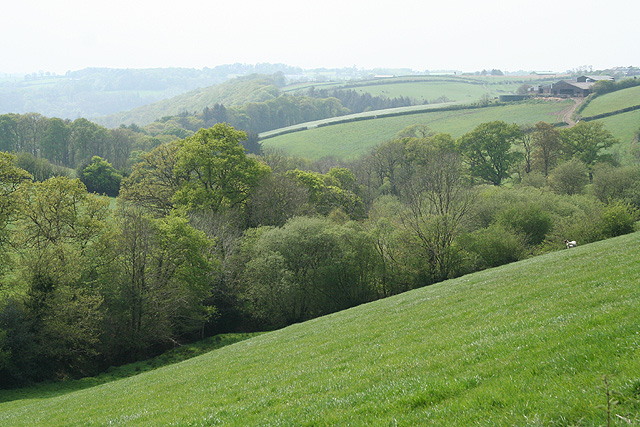
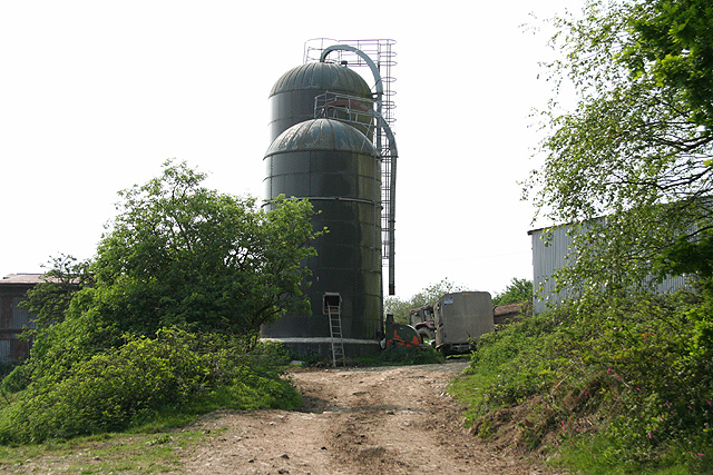
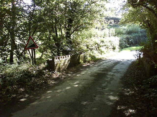
King's Nympton Images
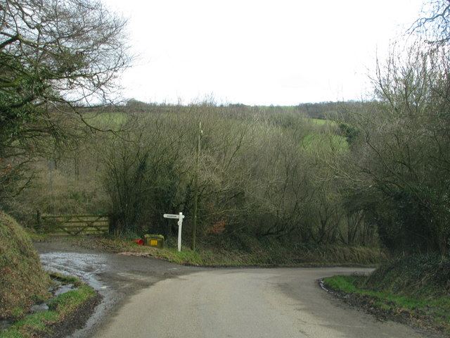
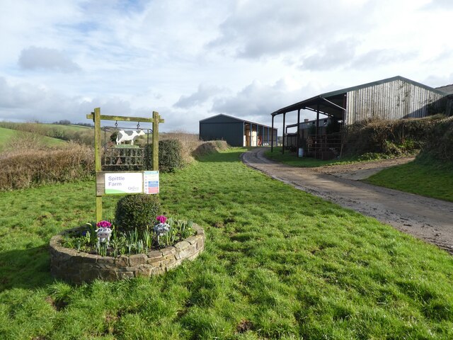
Images are sourced within 2km of 50.955269/-3.8807371 or Grid Reference SS6819. Thanks to Geograph Open Source API. All images are credited.


King's Nympton is located at Grid Ref: SS6819 (Lat: 50.955269, Lng: -3.8807371)
Administrative County: Devon
District: North Devon
Police Authority: Devon and Cornwall
What 3 Words
///jars.crossing.verb. Near Chulmleigh, Devon
Nearby Locations
Related Wikis
King's Nympton
King's Nympton (Latinised to Nymet Regis) is a village, parish and former manor in the North Devon district, in Devon, England, in the heart of the rolling...
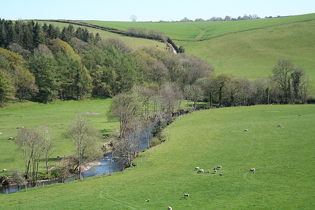
River Mole, Devon
The River Mole a tributary of the River Taw in Devon which rises on the southwestern border of Exmoor. The river takes its name from the market towns of...
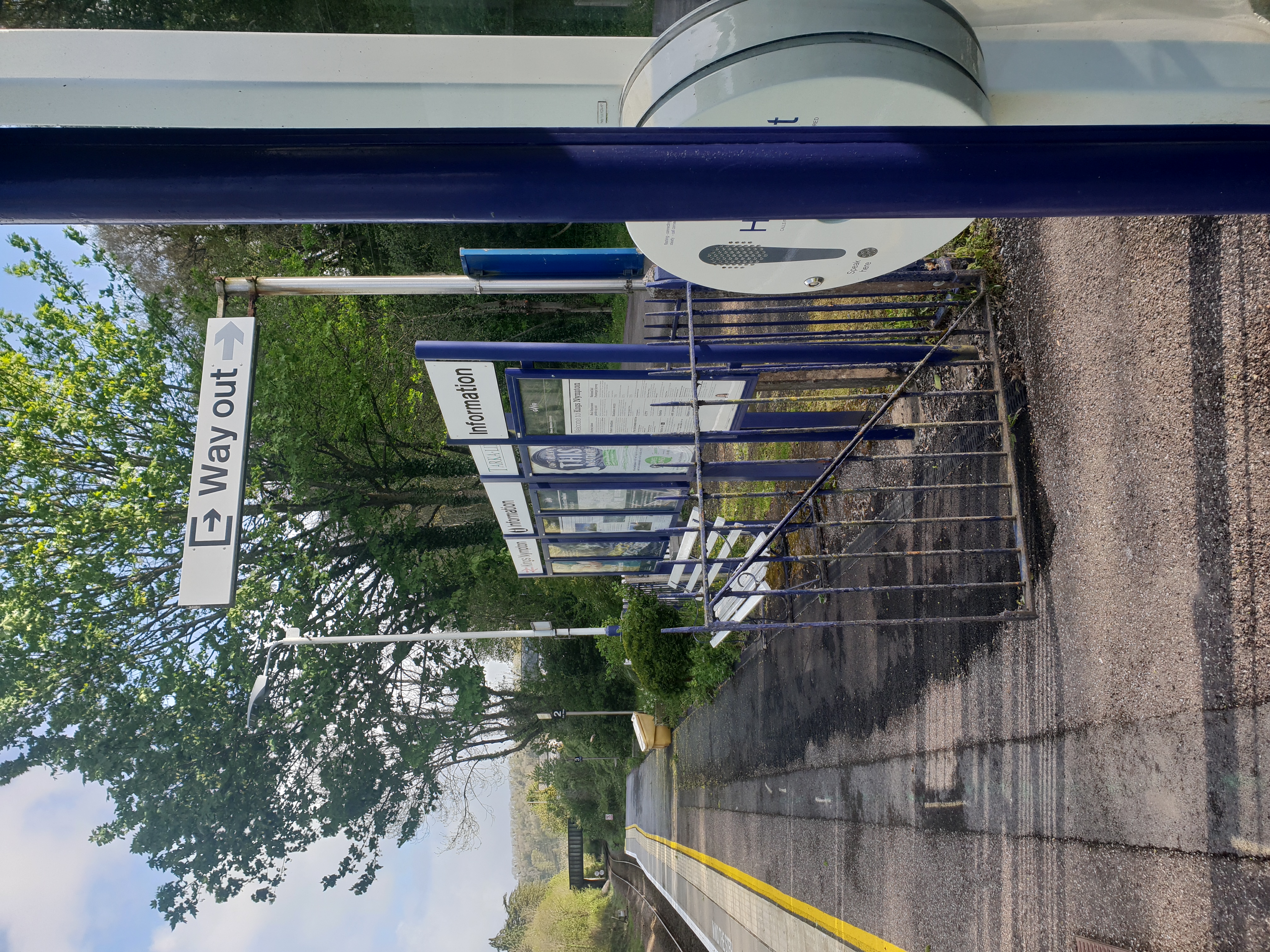
Kings Nympton railway station
Kings Nympton railway station, also spelt King's Nympton, is a halt on the Tarka Line in North Devon, serving the civil parishes of Chulmleigh, Burrington...

Little Dart River
The Little Dart River is a tributary of the River Taw in Devon, England. It joins the Taw a mile west of Chulmleigh. The Little Dart rises near Rackenford...
Nearby Amenities
Located within 500m of 50.955269,-3.8807371Have you been to King's Nympton?
Leave your review of King's Nympton below (or comments, questions and feedback).