Dead Wife's Moss
Downs, Moorland in Kirkcudbrightshire
Scotland
Dead Wife's Moss
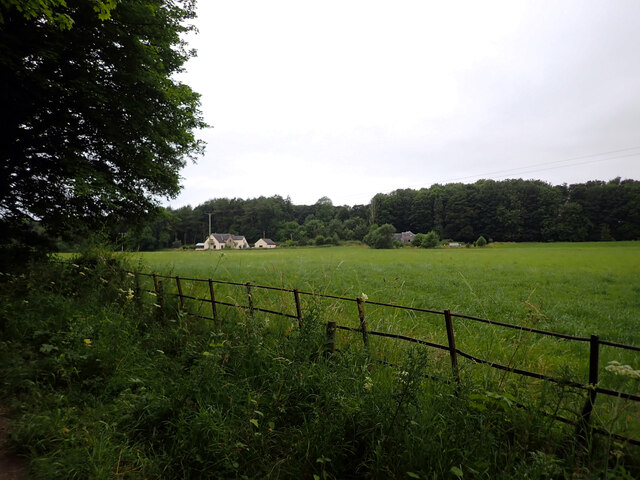
Dead Wife's Moss is a prominent geographical feature located in Kirkcudbrightshire, a historical county in southwest Scotland. Situated in the Downs and Moorland region, this natural landscape offers a unique and captivating sight for visitors and nature enthusiasts.
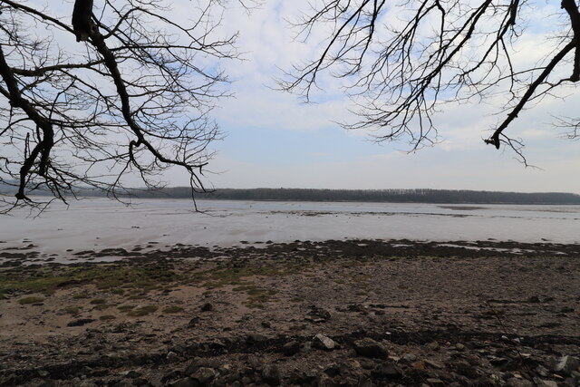
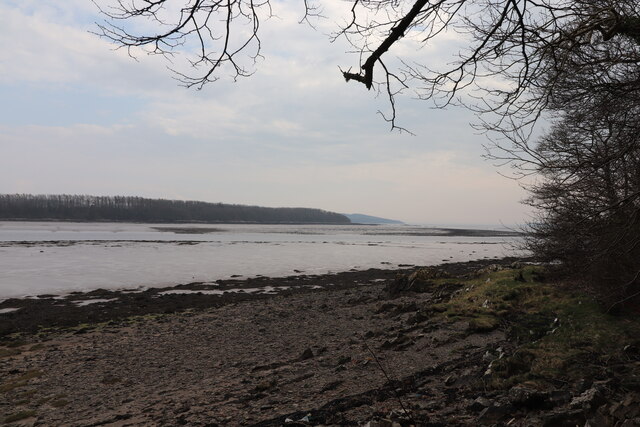
Covering an area of approximately 100 acres, Dead Wife's Moss is a picturesque peat bog characterized by its vibrant green mosses and scattered patches of heather. The moss gets its intriguing name from a local legend, which tells the tale of a man who lost his wife in the treacherous bog and never found her body. The myth adds an element of mystery to the already enchanting surroundings.
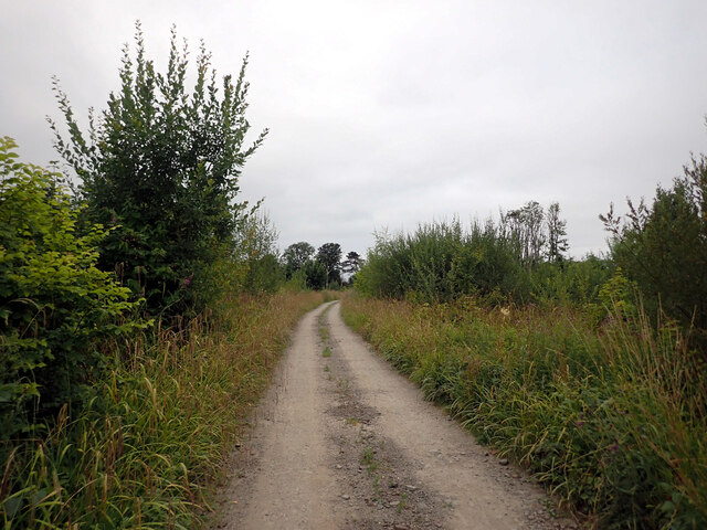
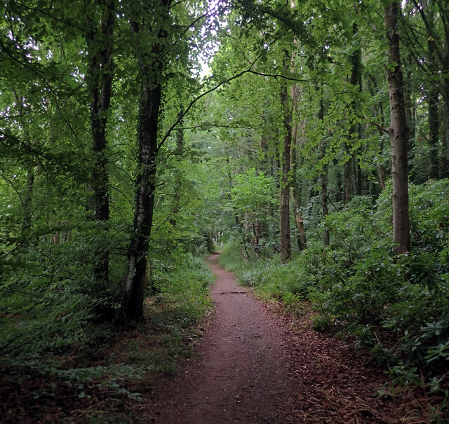
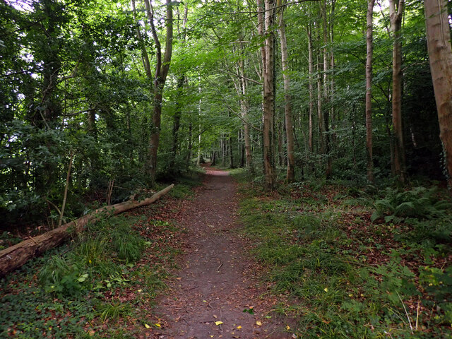
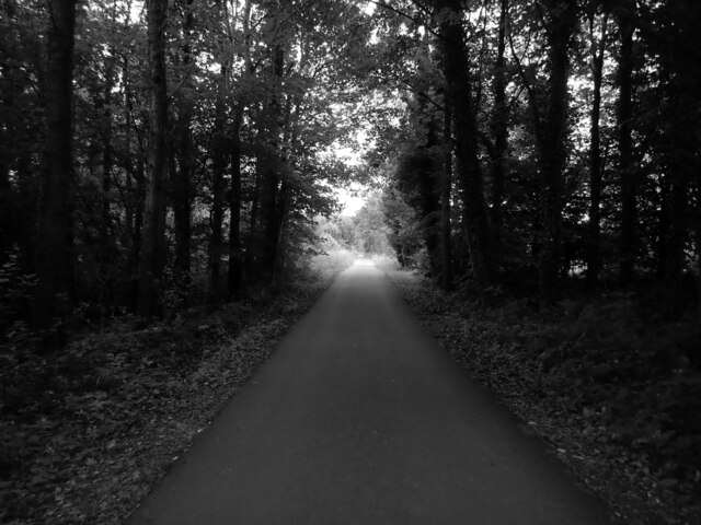
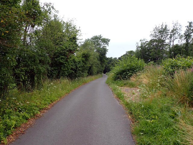
The site is accessible via a well-maintained footpath that winds through the moss, allowing visitors to explore and appreciate the diverse flora and fauna it supports. The moss is home to a variety of plant species, including sphagnum moss, heather, and various grasses. The wetland nature of Dead Wife's Moss also provides a habitat for numerous bird species, such as curlews, lapwings, and snipes, making it a haven for birdwatchers.
Additionally, the moss offers a tranquil and serene atmosphere, making it a popular spot for walking, hiking, and nature photography. The undulating terrain and the interplay of light and shadow create a visually striking landscape that attracts artists and photographers alike.
Overall, Dead Wife's Moss in Kirkcudbrightshire is a captivating natural wonder that offers a fascinating blend of myth and beauty, making it a must-visit destination for those seeking an immersive experience in the Scottish countryside.
If you have any feedback on the listing, please let us know in the comments section below.
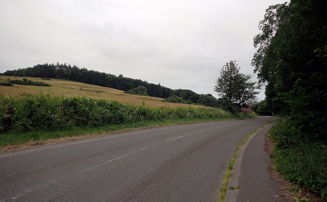
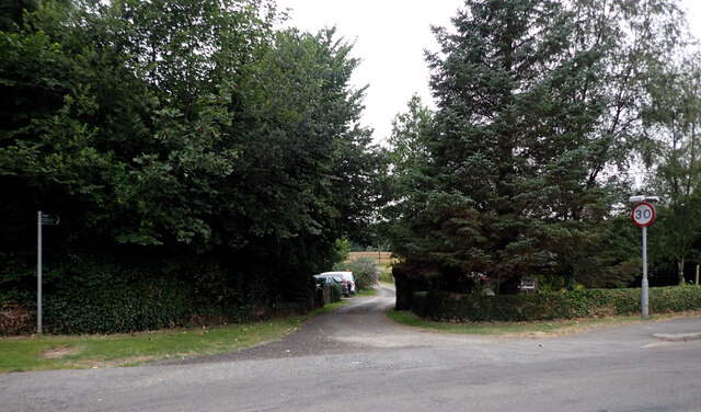
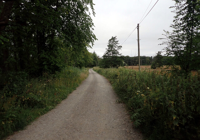
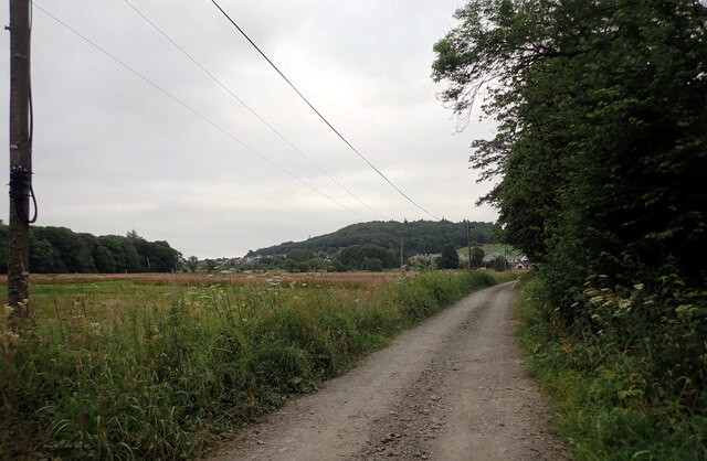
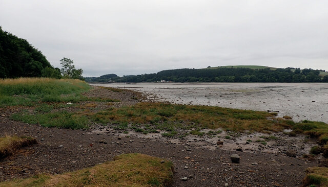
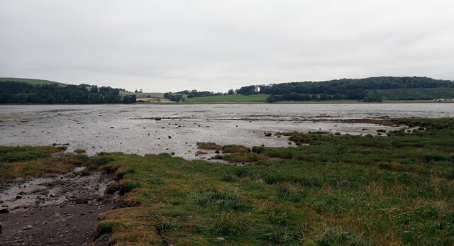
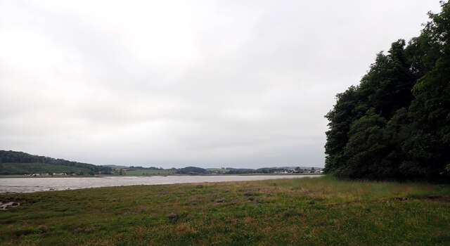
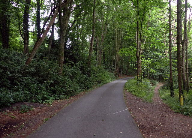
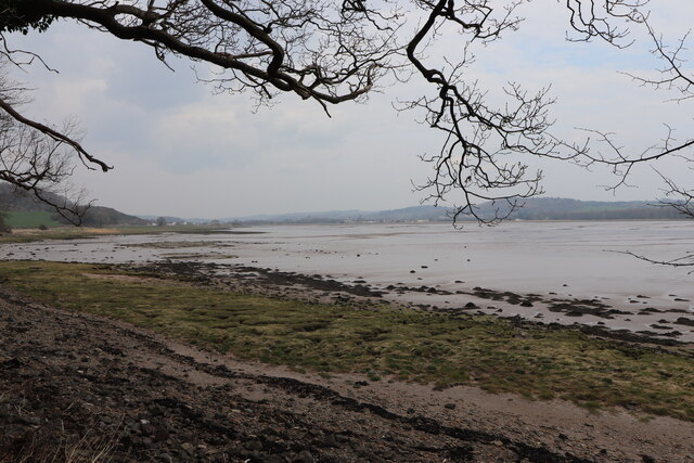
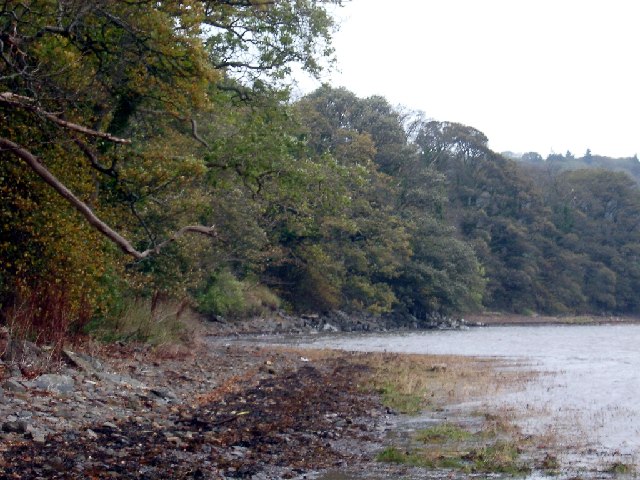
Dead Wife's Moss Images
Images are sourced within 2km of 54.836329/-4.0724518 or Grid Reference NX6651. Thanks to Geograph Open Source API. All images are credited.
Dead Wife's Moss is located at Grid Ref: NX6651 (Lat: 54.836329, Lng: -4.0724518)
Unitary Authority: Dumfries and Galloway
Police Authority: Dumfries and Galloway
What 3 Words
///underway.fabric.windpipe. Near Kirkcudbright, Dumfries & Galloway
Nearby Locations
Related Wikis

Kirkcudbright Castle
Kirkcudbright Castle, was a castle that was located on the banks of the River Dee, in Kirkcudbright, Scotland.A motte and bailey castle was built in the...
St Cuthbert Wanderers F.C.
Saint Cuthbert Wanderers Football Club are a football club from the town of Kirkcudbright in the Stewartry in Galloway, Scotland. They play in the South...
Kirkcudbright Academy
Kirkcudbright Academy is a state funded, six-year secondary school in Kirkcudbright, Scotland with about 400 pupils and 87 staff including teaching, support...
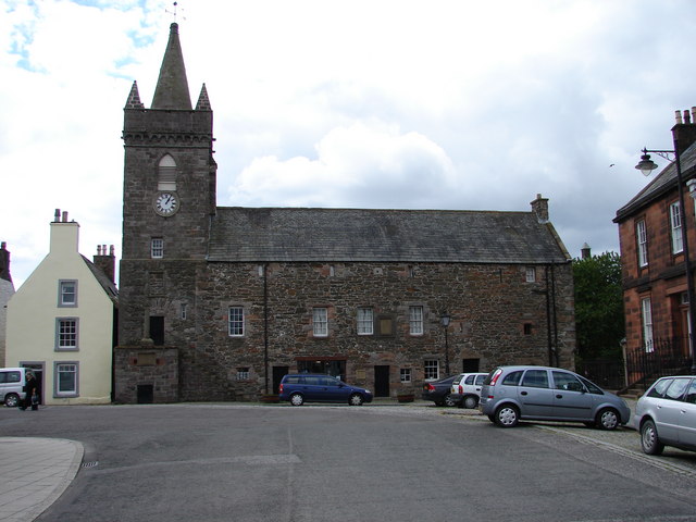
Kirkcudbright Tolbooth
Kirkcudbright Tolbooth is a historic municipal building in Kirkcudbright in Dumfries and Galloway, Scotland. Built between 1627 and 1629 to serve the town...

Broughton House
Broughton House is an 18th-century town house standing on the High Street of Kirkcudbright, Scotland. It was the home of Scots impressionist artist E....

MacLellan's Castle
MacLellan's Castle in the town of Kirkcudbright, in Galloway, Scotland, was built in the late 16th century. It stands in the centre of Kirkcudbright...

Kirkcudbright war memorial
Kirkcudbright war memorial commemorates the men of the Scottish town of Kirkcudbright killed during the First and Second World Wars. It is situated in...

County Buildings, Kirkcudbright
County Buildings is a municipal building in Kirkcudbright, in the Dumfries and Galloway council area in Scotland. It was originally two houses on High...
Nearby Amenities
Located within 500m of 54.836329,-4.0724518Have you been to Dead Wife's Moss?
Leave your review of Dead Wife's Moss below (or comments, questions and feedback).