Newton Hill
Hill, Mountain in Kirkcudbrightshire
Scotland
Newton Hill
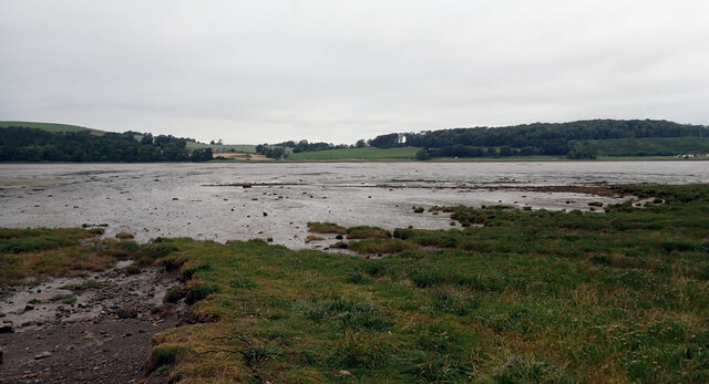
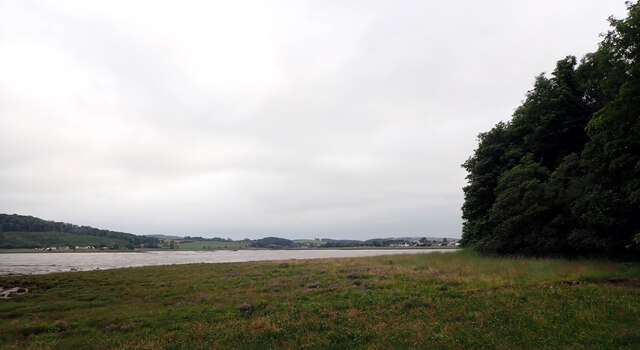
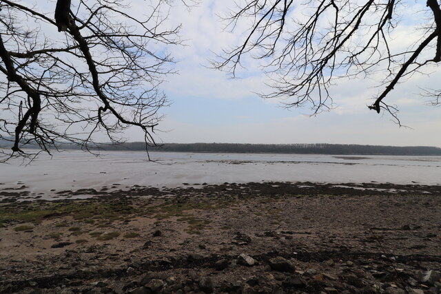
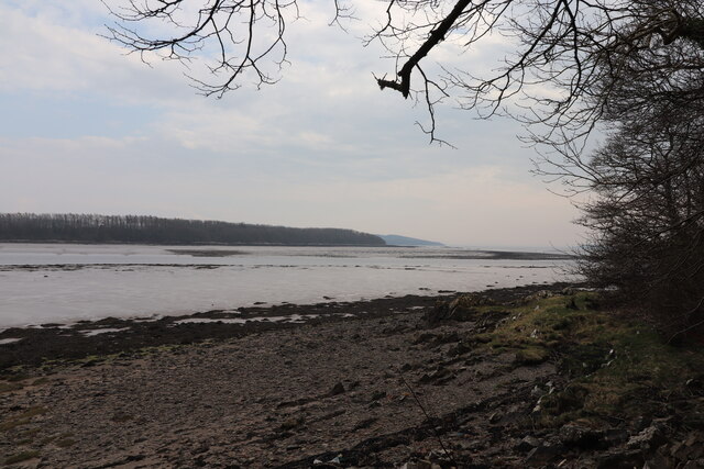
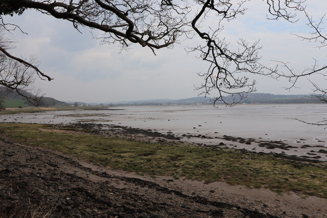
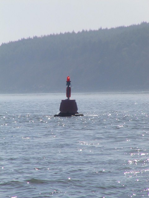
Newton Hill is a prominent hill located in Kirkcudbrightshire, a historic county in the southwest of Scotland. It is situated near the town of Gatehouse of Fleet, approximately 4 miles northeast of Kirkcudbright. With an elevation of 119 meters (390 feet), the hill offers stunning panoramic views of the surrounding countryside and the nearby Solway Firth.
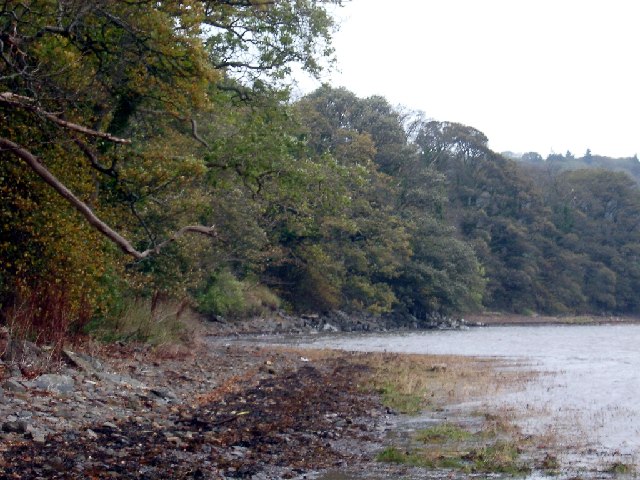
The hill is characterized by its gentle slopes and is covered with lush green grass, making it a popular spot for walkers, hikers, and nature enthusiasts. It is easily accessible and has a network of well-maintained paths that lead to the summit, allowing visitors to explore its natural beauty at their own pace.
At the top of Newton Hill, there is a trig point, which provides a reference point for surveying and mapping purposes. This adds to the hill's appeal for geographers and surveyors who are interested in the area.
The hill is rich in flora and fauna, with a variety of plant species and wildlife inhabiting its slopes. It is home to a diverse range of bird species, including buzzards, kestrels, and pheasants, which can often be spotted soaring overhead.
Newton Hill also holds historical significance, with evidence of ancient settlements and structures in the area. Archaeological remains, including ancient burial sites and stone circles, have been discovered on the hill, providing insights into the region's past.
Overall, Newton Hill offers a picturesque and tranquil setting for visitors to explore and appreciate the natural beauty and historical heritage of Kirkcudbrightshire.
If you have any feedback on the listing, please let us know in the comments section below.
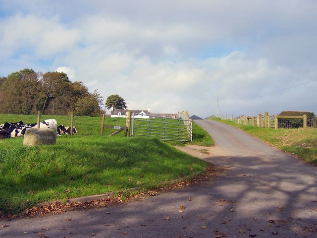
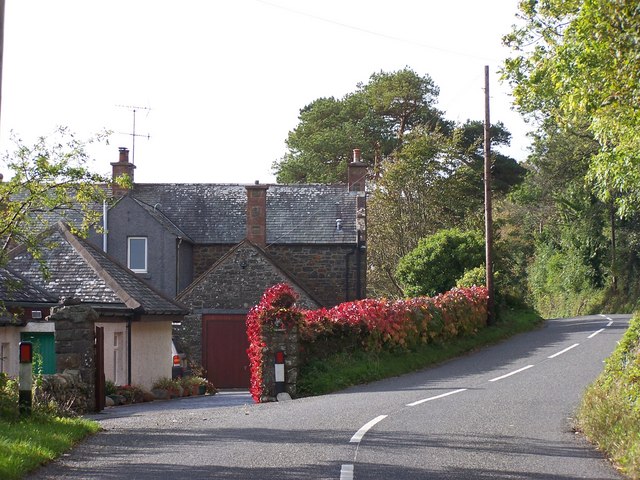
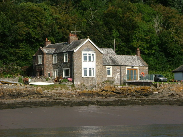
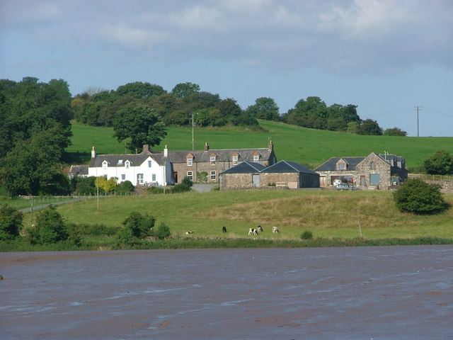
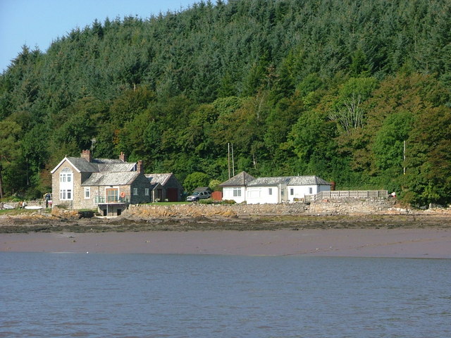
Newton Hill Images
Images are sourced within 2km of 54.837676/-4.0856488 or Grid Reference NX6651. Thanks to Geograph Open Source API. All images are credited.


Newton Hill is located at Grid Ref: NX6651 (Lat: 54.837676, Lng: -4.0856488)
Unitary Authority: Dumfries and Galloway
Police Authority: Dumfries and Galloway
What 3 Words
///jams.shopping.handicaps. Near Kirkcudbright, Dumfries & Galloway
Nearby Locations
Related Wikis

Kirkcudbright Castle
Kirkcudbright Castle, was a castle that was located on the banks of the River Dee, in Kirkcudbright, Scotland.A motte and bailey castle was built in the...
St Cuthbert Wanderers F.C.
Saint Cuthbert Wanderers Football Club are a football club from the town of Kirkcudbright in the Stewartry in Galloway, Scotland. They play in the South...
Kirkcudbright Academy
Kirkcudbright Academy is a state funded, six-year secondary school in Kirkcudbright, Scotland with about 400 pupils and 87 staff including teaching, support...
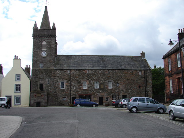
Kirkcudbright Tolbooth
Kirkcudbright Tolbooth is a historic municipal building in Kirkcudbright in Dumfries and Galloway, Scotland. Built between 1627 and 1629 to serve the town...

Broughton House
Broughton House is an 18th-century town house standing on the High Street of Kirkcudbright, Scotland. It was the home of Scots impressionist artist E....

MacLellan's Castle
MacLellan's Castle in the town of Kirkcudbright, in Galloway, Scotland, was built in the late 16th century. It stands in the centre of Kirkcudbright...

Kirkcudbright war memorial
Kirkcudbright war memorial commemorates the men of the Scottish town of Kirkcudbright killed during the First and Second World Wars. It is situated in...

County Buildings, Kirkcudbright
County Buildings is a municipal building in Kirkcudbright, in the Dumfries and Galloway council area in Scotland. It was originally two houses on High...
Nearby Amenities
Located within 500m of 54.837676,-4.0856488Have you been to Newton Hill?
Leave your review of Newton Hill below (or comments, questions and feedback).