Whitefield Down
Downs, Moorland in Devon North Devon
England
Whitefield Down

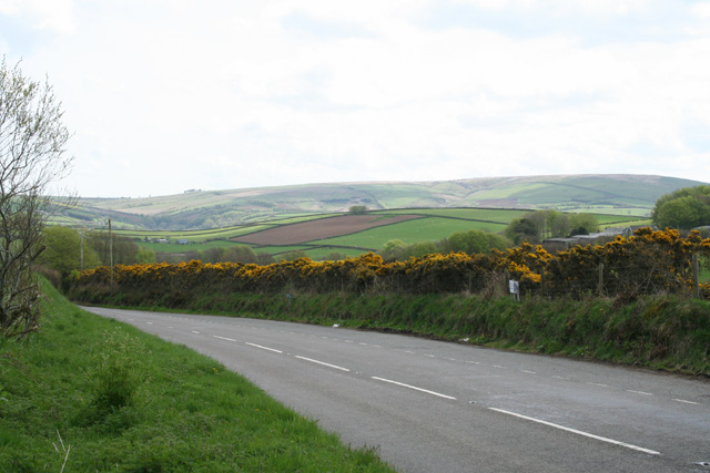
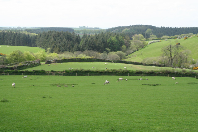
Whitefield Down is a picturesque area of moorland located in Devon, England. The landscape is characterized by rolling hills, open fields, and heather-covered moors that stretch as far as the eye can see. The area is known for its stunning views, with panoramic vistas of the surrounding countryside and distant coastline.
Whitefield Down is a popular destination for outdoor enthusiasts, offering a variety of walking and hiking trails that wind through the rugged terrain. Visitors can explore the diverse flora and fauna that call the moorland home, including heather, gorse, and a variety of bird species.
The area is steeped in history, with ancient burial mounds and stone circles scattered throughout the landscape, serving as a reminder of the area's rich cultural heritage. Whitefield Down is also home to a number of archaeological sites, including Bronze Age settlements and Roman ruins.
Overall, Whitefield Down is a tranquil and beautiful place to visit, offering visitors the chance to immerse themselves in nature and experience the unique charm of Devon's countryside.
If you have any feedback on the listing, please let us know in the comments section below.
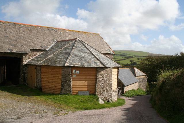
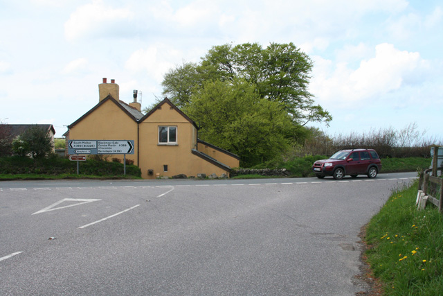
Whitefield Down Images
Images are sourced within 2km of 51.159752/-3.9015286 or Grid Reference SS6741. Thanks to Geograph Open Source API. All images are credited.


Whitefield Down is located at Grid Ref: SS6741 (Lat: 51.159752, Lng: -3.9015286)
Administrative County: Devon
District: North Devon
Police Authority: Devon and Cornwall
What 3 Words
///double.skipped.airstrip. Near Lynton, Devon
Nearby Locations
Related Wikis
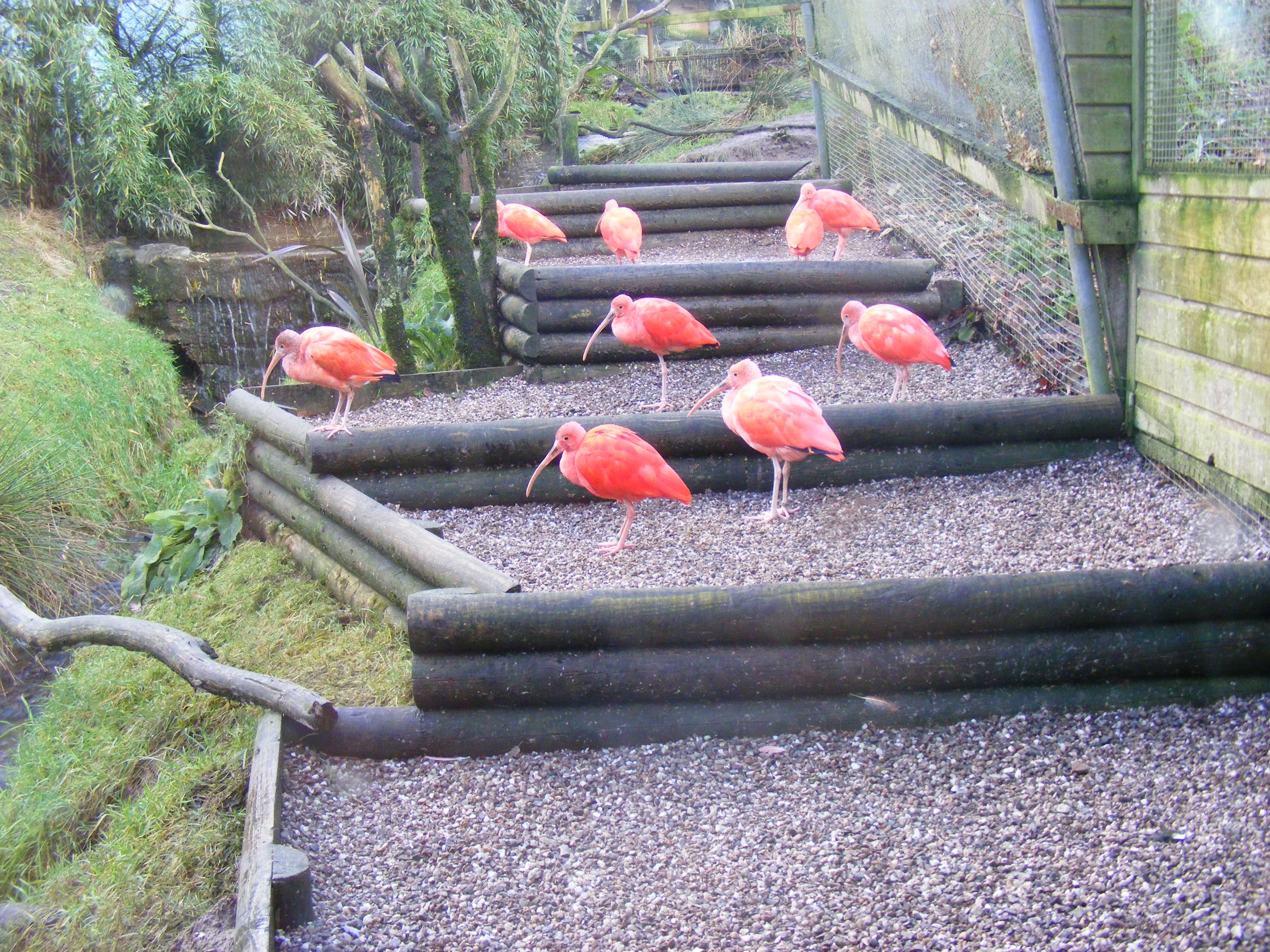
Exmoor Zoo
Exmoor Zoo is a conservation centre in Exmoor, North Devon, England. The zoo developed from Exmoor Bird Gardens, opened on the site of a farm in 1982....

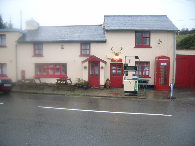
Blackmoor Gate
Blackmoor Gate, the western gateway to Exmoor National Park, sits on the watershed between tributaries of the rivers Yeo and Heddon nearly 305 m (1000...
Challacombe
Challacombe is a small village on the edge of the Exmoor National Park, in Devon, England. The village has a small general shop/Post Office and a single...

River Heddon
The River Heddon is a river in Devon, in the south of England. Running along the western edges of Exmoor, the river reaches the North Devon coast at Heddon...
Nearby Amenities
Located within 500m of 51.159752,-3.9015286Have you been to Whitefield Down?
Leave your review of Whitefield Down below (or comments, questions and feedback).