Abbotsham Moor

Downs, Moorland in Devon Mid Devon

England

Abbotsham Moor

Ordnance Survey Cut Mark This OS cut mark can be found on the porch of St Mary's Church. It marks a point 139.531m above mean sea level.
Ordnance Survey Cut Mark Credit: Adrian Dust

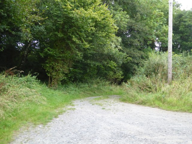
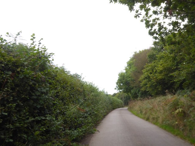
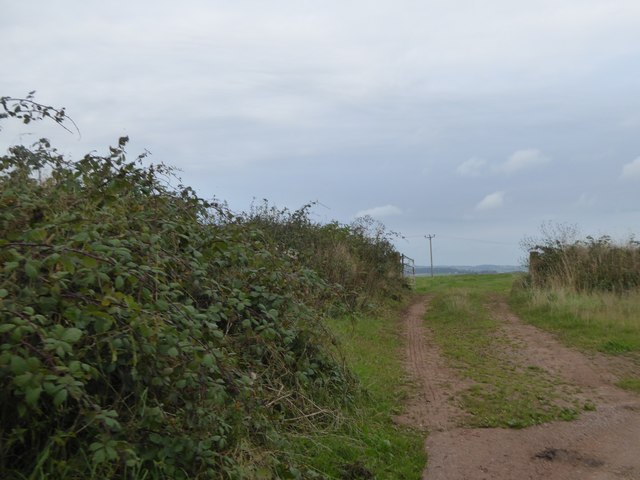
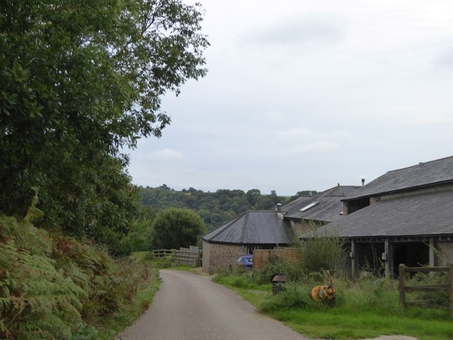
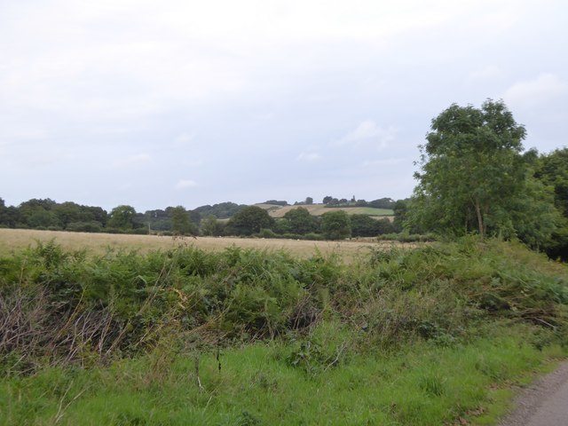
Abbotsham Moor is a vast expanse of moorland located in the county of Devon, England. Situated just south of the village of Abbotsham, it covers an area of approximately 700 acres. The moor is characterized by its rolling hills, open grassland, and scattered shrubs, creating a picturesque and serene landscape.

The moorland is home to a variety of wildlife, including birds, insects, and small mammals. Visitors can often spot buzzards soaring in the skies above or catch a glimpse of a hare darting through the grass. The abundant plant life includes heather, gorse, and bracken, which add vibrant splashes of color to the landscape throughout the year.

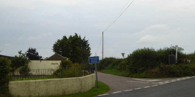
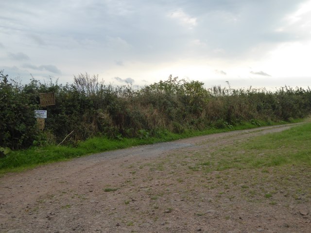
Abbotsham Moor is a popular destination for walkers and nature enthusiasts, offering numerous footpaths and trails that allow visitors to explore its natural beauty. The area is crisscrossed with well-maintained paths, making it easily accessible for people of all ages and abilities.

The moorland also holds historical significance, with remnants of ancient settlements and burial mounds scattered across its terrain. These archaeological features provide a glimpse into the area's rich past and add an extra layer of intrigue for history enthusiasts.

Overall, Abbotsham Moor is a stunning example of the natural beauty found in Devon. Its rolling hills, diverse wildlife, and rich history make it a must-visit destination for those seeking to immerse themselves in the beauty of the British countryside.

If you have any feedback on the listing, please let us know in the comments section below.

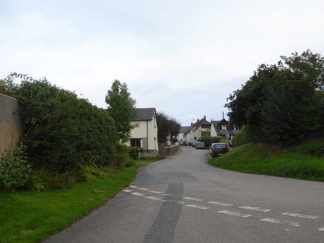
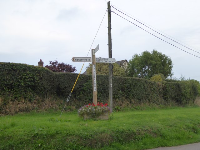
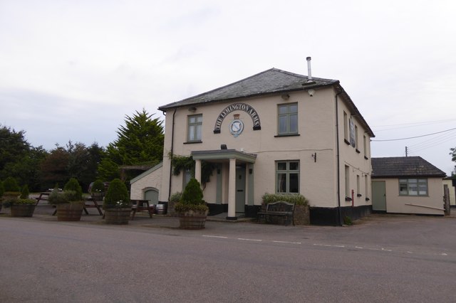
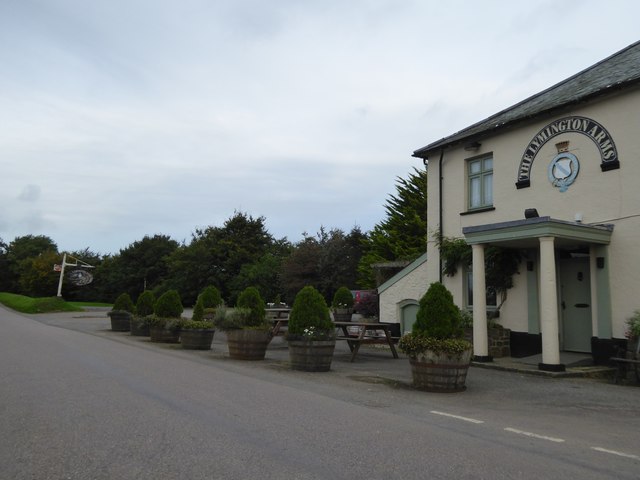
Abbotsham Moor Images

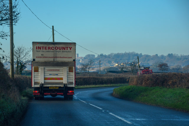
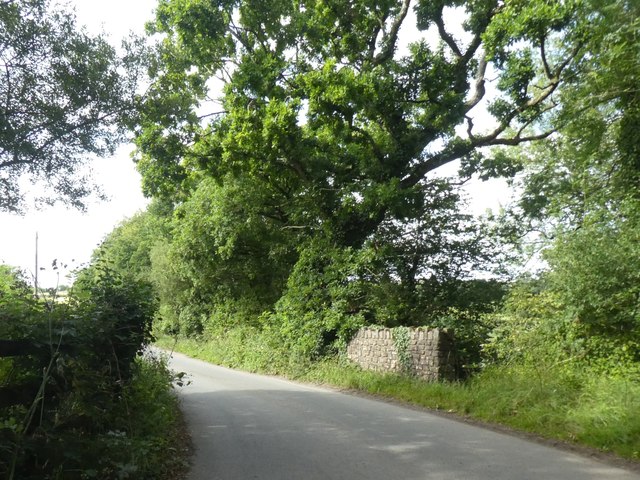
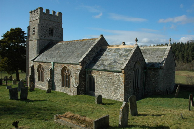
Images are sourced within 2km of 50.862273/-3.8987335 or Grid Reference SS6608. Thanks to Geograph Open Source API. All images are credited.

Ordnance Survey Cut Mark This OS cut mark can be found on the porch of St Mary's Church. It marks a point 139.531m above mean sea level.
Ordnance Survey Cut Mark
This OS cut mark can be found on the porch of St Mary's Church. It marks a point 139.531m above mean sea level.
Ordnance Survey Cut Mark This OS cut mark can be found below the letter box at Brushford Cross. It marks a point 142.890m above mean sea level.
Ordnance Survey Cut Mark
This OS cut mark can be found below the letter box at Brushford Cross. It marks a point 142.890m above mean sea level.
Ordnance Survey Cut Mark This OS cut mark can be found on the south face of St Michael's Church. It marks a point 151.804m above mean sea level.
Ordnance Survey Cut Mark
This OS cut mark can be found on the south face of St Michael's Church. It marks a point 151.804m above mean sea level.
Access track at Pittford Bridge A short private track to some buildings by the stream east of the bridge
Access track at Pittford Bridge
A short private track to some buildings by the stream east of the bridge
Road junction at Blackhorse Corner, Wembworthy  Looking east to the village
Road junction at Blackhorse Corner, Wembworthy
Looking east to the village
Signpost at Blackhorse Corner, Wembworthy Also named as Black Horse Corner on OS maps; a forth arm of the junction is unsigned, as it is a track and footpath
Signpost at Blackhorse Corner, Wembworthy
Also named as Black Horse Corner on OS maps; a forth arm of the junction is unsigned, as it is a track and footpath
The Lymington Arms at Lama Cross
Lymington Arms and its car park at Lama Cross Patrons can sit outside the front of the inn, protected from the traffic on the quiet road by the half barrels planted with small trees
Lymington Arms and its car park at Lama Cross
Patrons can sit outside the front of the inn, protected from the traffic on the quiet road by the half barrels planted with small trees
The road to Partridge Walls Cross Narrow road with hedgebanks; the boundary between Eggesford and Brushford runs along this stretch of road
The road to Partridge Walls Cross
Narrow road with hedgebanks; the boundary between Eggesford and Brushford runs along this stretch of road
Partridge Walls Cross crossroads
Field entrance north of Middle Reeve The field is the easternmost on the ridge east of Abbotsham Moor
Field entrance north of Middle Reeve
The field is the easternmost on the ridge east of Abbotsham Moor
Private road and public footpath to Middle Reeve
Farm at Lower Reeve
Farm at Lower Reeve
View from east of Lower Reeve Unusually, the road is bounded by a low hedge.  The field has a gentle slope to the east, the valley of the Taw.  The fields on the horizon are on the opposite side of the valley
View from east of Lower Reeve
Unusually, the road is bounded by a low hedge. The field has a gentle slope to the east, the valley of the Taw. The fields on the horizon are on the opposite side of the valley
Winkleigh : The B3220 Looking along the B3220 through the Winkleigh parish.
Winkleigh : The B3220
Looking along the B3220 through the Winkleigh parish.
Winkleigh : The B3220 Looking along the B3220 through the Winkleigh parish.
Winkleigh : The B3220
Looking along the B3220 through the Winkleigh parish.
Winkleigh : The B3220 Looking along the B3220 through the Winkleigh parish.
Winkleigh : The B3220
Looking along the B3220 through the Winkleigh parish.
Bullowbrook Bridge
Bullowbrook Bridge
Show me another place!

Abbotsham Moor is located at Grid Ref: SS6608 (Lat: 50.862273, Lng: -3.8987335)

Administrative County: Devon

District: Mid Devon

Police Authority: Devon and Cornwall

What 3 Words

///strumming.control.depths. Near Winkleigh, Devon

Related Wikis

Wembworthy

Wembworthy is a small village, parish and former manor in Mid-Devon, England. It is situated in the valley of the River Taw, 8 miles north-east of the...

Brushford, Devon

Brushford is a village and civil parish in the Mid Devon district of Devon in England. According to the 2001 census it had a population of 59. The village...

Eggesford

Eggesford () is a parish in mid-Devon, without its own substantial village. It is served by Eggesford railway station on the Exeter to Barnstaple railway...

Church of All Saints, Winkleigh

The Church of All Saints is a Church of England parish church in Winkleigh, Devon. The church is a Grade I listed building. == History == The earliest...

Eggesford railway station

Eggesford railway station is a rural station in Devon, England, serving Eggesford, the town of Chulmleigh and surrounding villages. Despite its name, the...

Coldridge

Coldridge or Coleridge is a village and parish in Devon, England. It appears in the Domesday Book of 1086 as Colrige, which is thought to mean ‘the ridge...

Tarka Line

The Tarka Line, also known as the North Devon Line, is a local railway line in Devon, England, linking the city of Exeter with the town of Barnstaple via...

Winkleigh

Winkleigh is a civil parish and small village in Devon, England. It is part of the local government area of Torridge District Council. The population of...

Nearby Amenities

Located within 500m of 50.862273,-3.8987335
Power: pole
Lat/Long: 50.865238/-3.893846
Power: pole
Lat/Long: 50.8658085/-3.8952675
Power: pole
Lat/Long: 50.8619605/-3.8953829
Power: pole
Lat/Long: 50.8626258/-3.896488
Power: pole
Lat/Long: 50.8632759/-3.8976306
Power: pole
Lat/Long: 50.8645439/-3.8998327
Power: pole
Lat/Long: 50.8653277/-3.9008197
Power: pole
Lat/Long: 50.8660522/-3.9016834
Power: pole
Lat/Long: 50.8666549/-3.8973516
The data included in this document is from www.openstreetmap.org. The data is made available under ODbL.

Have you been to Abbotsham Moor?

Leave your review of Abbotsham Moor below (or comments, questions and feedback).