Ervie Moor

Downs, Moorland in Kirkcudbrightshire

Scotland

Ervie Moor

Raiders' Road Forest road open to public use. There is a £3 parking charge. The road here is not shown by the Ordnance Survey on the 1:25,000 map so is possibly new.
Raiders' Road Credit: Richard Webb

Ervie Moor is a picturesque area located in Kirkcudbrightshire, Scotland. This region, known for its rolling downs and vast moorland, offers a stunning natural landscape that attracts visitors from near and far.

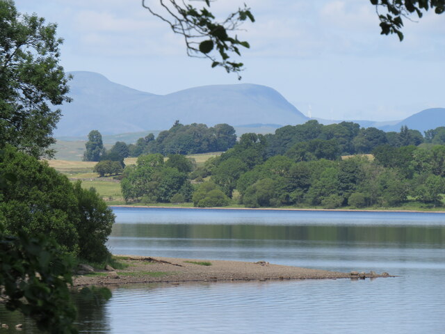
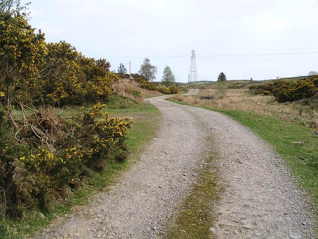
The downs in Ervie Moor are characterized by their gently sloping hills and lush green fields. These open spaces provide ample opportunities for outdoor activities such as hiking, picnicking, and birdwatching. The downs are home to a variety of plant and animal species, adding to the richness of the area's biodiversity.

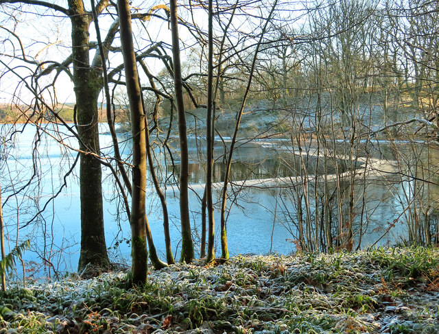
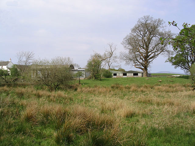
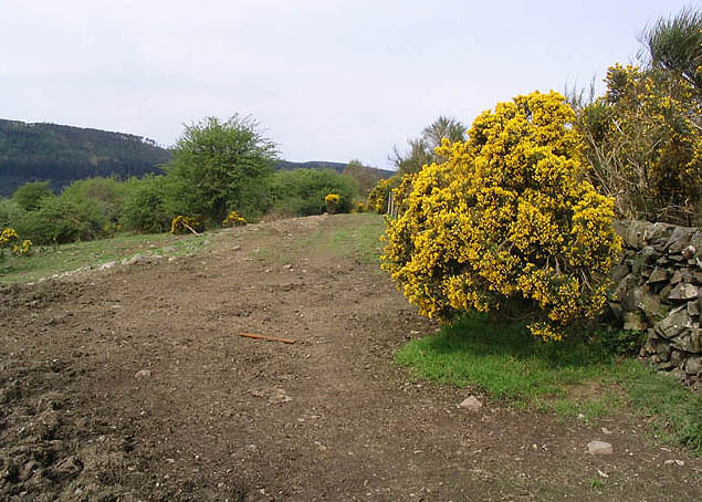
The moorland, on the other hand, presents a more rugged and wild terrain. It is covered by heather, grasses, and peat, creating a unique and distinctive landscape. Moorland plants, such as bog cotton and bilberry, can be found scattered throughout the area. The moorland is also home to several species of birds, including skylarks and curlews.

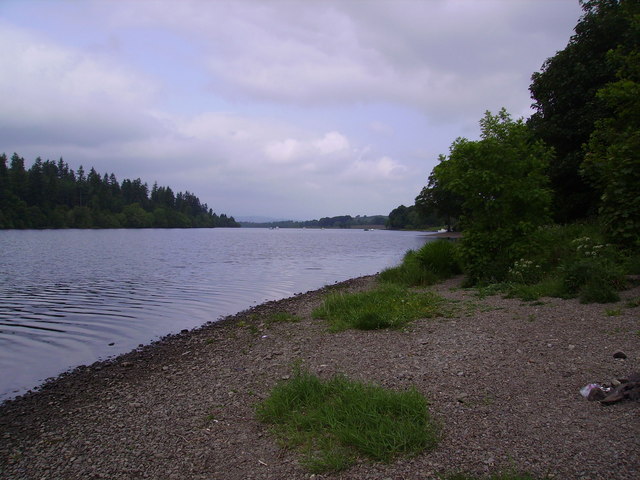
Ervie Moor offers stunning panoramic views of the surrounding countryside, with rolling hills and valleys stretching as far as the eye can see. The area is particularly popular among nature enthusiasts and photographers, who come to capture the beauty of the landscape.

In addition to its natural beauty, Ervie Moor has historical significance as well. The area is dotted with remnants of ancient settlements, including stone circles and burial sites, which provide insight into the region's past.

Overall, Ervie Moor is a captivating destination that offers a unique blend of natural beauty, biodiversity, and historical importance. Whether exploring the downs or traversing the moorland, visitors are sure to be enchanted by this charming corner of Kirkcudbrightshire.

If you have any feedback on the listing, please let us know in the comments section below.
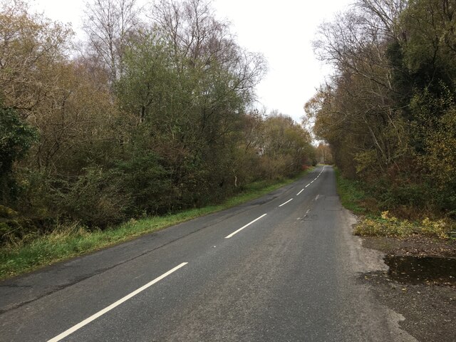
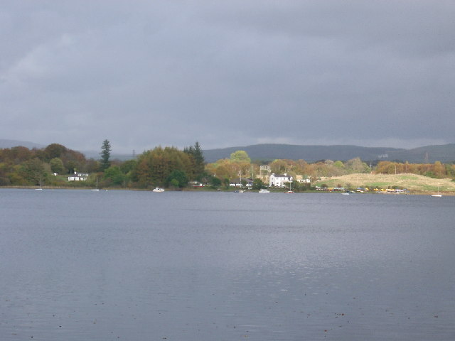
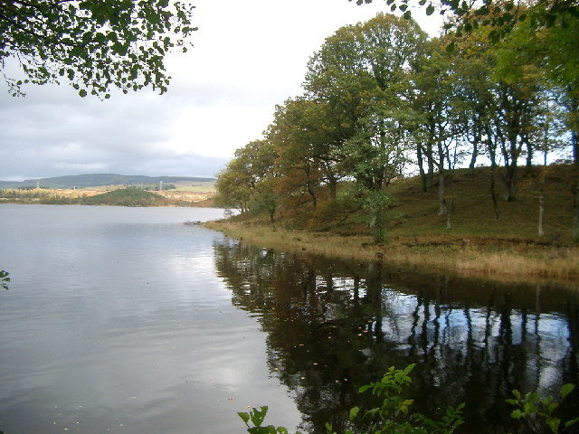
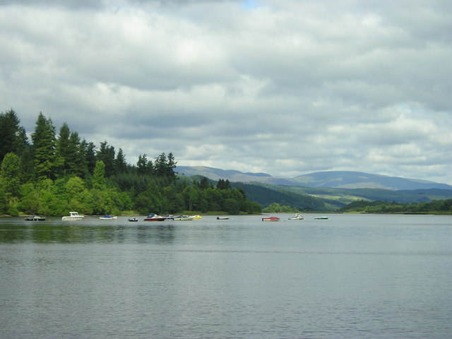
Ervie Moor Images

Images are sourced within 2km of 55.03756/-4.0907192 or Grid Reference NX6673. Thanks to Geograph Open Source API. All images are credited.

Raiders' Road Forest road open to public use. There is a £3 parking charge. The road here is not shown by the Ordnance Survey on the 1:25,000 map so is possibly new.
Raiders' Road
Forest road open to public use. There is a £3 parking charge. The road here is not shown by the Ordnance Survey on the 1:25,000 map so is possibly new.
Cadger's Loop The edge of Loch Ken viewed on a frosty December morning.
Cadger's Loop
The edge of Loch Ken viewed on a frosty December morning.
Old milestone This milestone is in a rough lay-by with a grate, on the west side of the A762.   There is a view of Loch Ken across the road from the milestone.  2 miles to New Galloway Station.   It had not been spotted on earlier rides along this road.
Old milestone
This milestone is in a rough lay-by with a grate, on the west side of the A762. There is a view of Loch Ken across the road from the milestone. 2 miles to New Galloway Station. It had not been spotted on earlier rides along this road.
Old milestone This shows the edge of the lay-by and also how much the milestone is leaning.
Old milestone
This shows the edge of the lay-by and also how much the milestone is leaning.
Old milestone From the legends on each face this milestone must have originally stood on the opposite side of the road near to Bennan Cottage.   Now it is set with its right face to the road and the back at right angles to the road.
Old milestone
From the legends on each face this milestone must have originally stood on the opposite side of the road near to Bennan Cottage. Now it is set with its right face to the road and the back at right angles to the road.
Old milestone Of the 4 milestones south from New Galloway giving the distance to New Galloway Station, this one has the clearest inscriptions, although unfortunately it is set at the wrong angle on the wrong  side of the road.
Old milestone
Of the 4 milestones south from New Galloway giving the distance to New Galloway Station, this one has the clearest inscriptions, although unfortunately it is set at the wrong angle on the wrong side of the road.
Loch Ken Lochside Point and the Shirmers Wood take centre stage with some of the hills of Dumfries and Galloway in the distance.
Loch Ken
Lochside Point and the Shirmers Wood take centre stage with some of the hills of Dumfries and Galloway in the distance.
A713 towards New Galloway
Ringbane Sailing Centre across Loch Ken taken from the A762 (safely parked and out of the car, in case that debate starts again)
Ringbane Sailing Centre across Loch Ken
taken from the A762 (safely parked and out of the car, in case that debate starts again)
Cadger's Loop, Loch Ken Hillock on the other side of Loch Ken is the Upper Tors
Cadger's Loop, Loch Ken
Hillock on the other side of Loch Ken is the Upper Tors
Loch Ken
Loch Ken
Shirmers Farm Viewed from the A713.
Shirmers Farm
Viewed from the A713.
Farm road The road to Ken Ervie Farm, taken near Shirmers Bridge.
Farm road
The road to Ken Ervie Farm, taken near Shirmers Bridge.
Livestock field
Livestock field
Loch Ken Looking northwest up the Loch from the shore near Glenlaggan
Loch Ken
Looking northwest up the Loch from the shore near Glenlaggan
Lochside Point. A small promontory on the west shore of Loch Ken.
Lochside Point.
A small promontory on the west shore of Loch Ken.
Little Drumrash, Parton.
Loch Ken shore line at Ringferson Wood
Show me another place!

Ervie Moor is located at Grid Ref: NX6673 (Lat: 55.03756, Lng: -4.0907192)

Unitary Authority: Dumfries and Galloway

Police Authority: Dumfries and Galloway

What 3 Words

///admiral.regal.lobster. Near Castle Douglas, Dumfries & Galloway

Related Wikis

Ironmacannie Mill

Ironmacannie Mill is a historic watermill near Balmaclellan in Dumfries and Galloway, Scotland. Built in the 18th and 19th centuries, on the site of an...

New Galloway railway station

New Galloway railway station served the town of New Galloway in Dumfries and Galloway, Scotland, from 1861 to 1965 on the Portpatrick and Wigtownshire...

Galloway

Galloway (Scottish Gaelic: Gall-Ghàidhealaibh [ˈkal̪ˠaɣəl̪ˠu]; Scots: Gallowa; Latin: Gallovidia) is a region in southwestern Scotland comprising the historic...

Airds of Kells

Airds of Kells is a farm and small estate in the historical county of Kirkcudbrightshire in the parish of Kells, Dumfries and Galloway, Scotland. The...

Nearby Amenities

Located within 500m of 55.03756,-4.0907192
Power: tower
Lat/Long: 55.0385068/-4.0932858
White Hill
Ele: 95
Natural: peak
Lat/Long: 55.0356467/-4.0855829
Power: tower
Lat/Long: 55.0357116/-4.0857222
Power: tower
Lat/Long: 55.040258/-4.0946218
Power: tower
Lat/Long: 55.0371201/-4.0895856
Power: pole
Lat/Long: 55.0401157/-4.0961847
Power: pole
Lat/Long: 55.0393817/-4.0955559
Power: pole
Lat/Long: 55.0388071/-4.09508
Power: pole
Lat/Long: 55.0381173/-4.0945443
Power: pole
Lat/Long: 55.0375021/-4.0940619
Power: pole
Lat/Long: 55.0370874/-4.0931461
Power: pole
Lat/Long: 55.0366042/-4.0921279
Power: pole
Lat/Long: 55.0361418/-4.0911502
Power: pole
Lat/Long: 55.0356293/-4.0900231
Power: pole
Lat/Long: 55.0352476/-4.0892077
Power: pole
Lat/Long: 55.0346628/-4.0886335
Power: pole
Lat/Long: 55.0340487/-4.0879952
Power: pole
Lat/Long: 55.0338138/-4.086898
Power: pole
Lat/Long: 55.0404955/-4.095439
Power: pole
Lat/Long: 55.040582/-4.09491
The data included in this document is from www.openstreetmap.org. The data is made available under ODbL.

Have you been to Ervie Moor?

Leave your review of Ervie Moor below (or comments, questions and feedback).