Allt Nantgwenlli
Downs, Moorland in Merionethshire
Wales
Allt Nantgwenlli

The requested URL returned error: 429 Too Many Requests
If you have any feedback on the listing, please let us know in the comments section below.
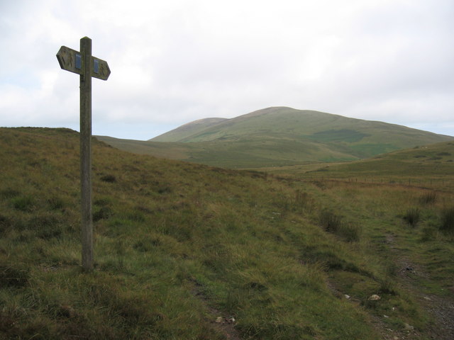
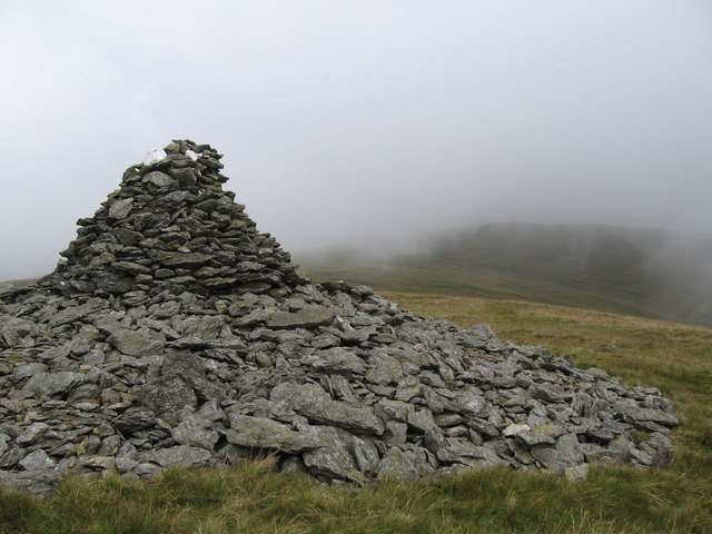
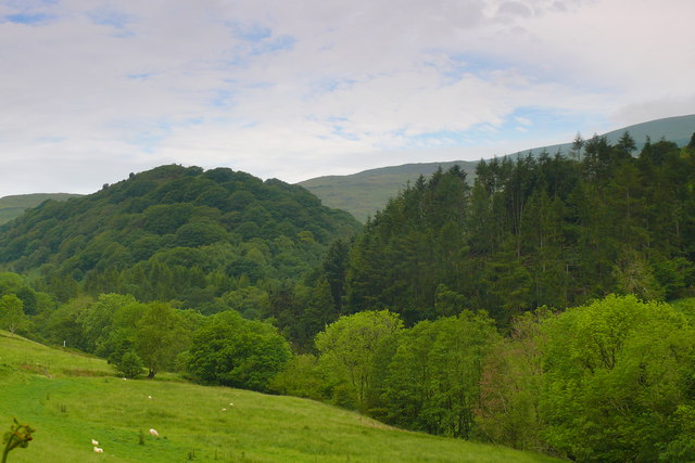
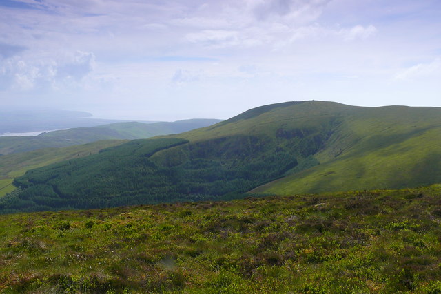
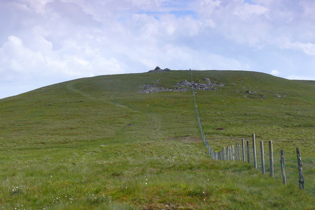
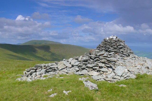
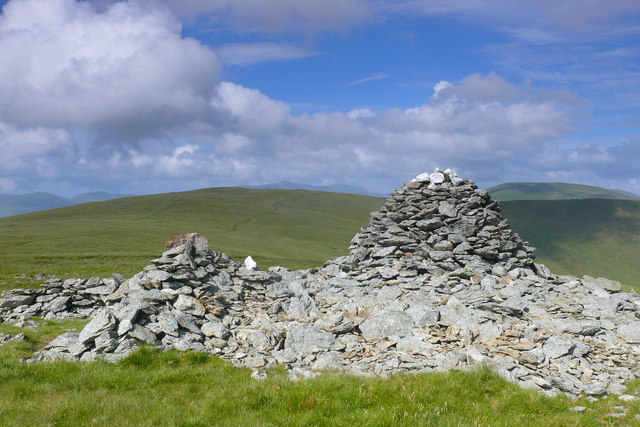
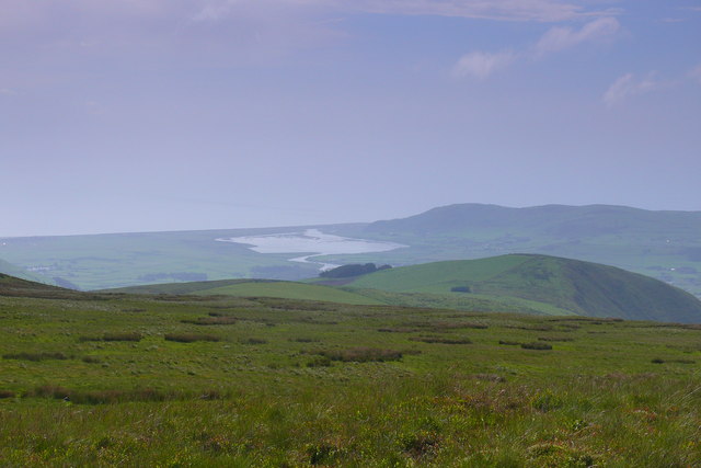
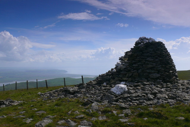
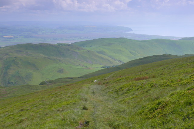
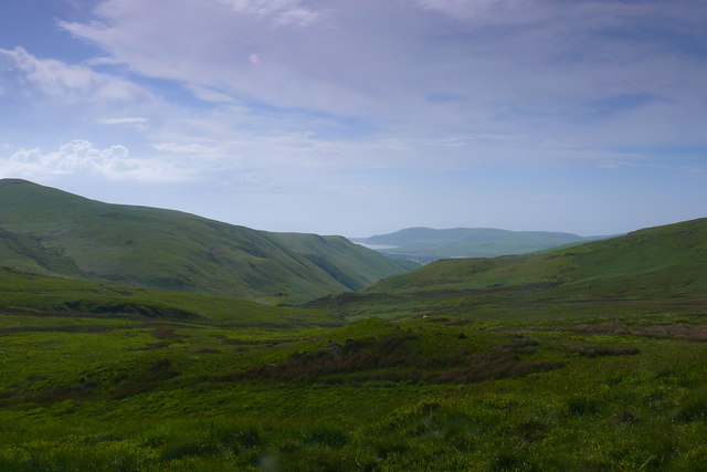
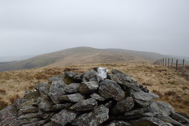
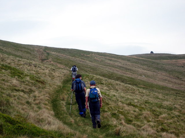
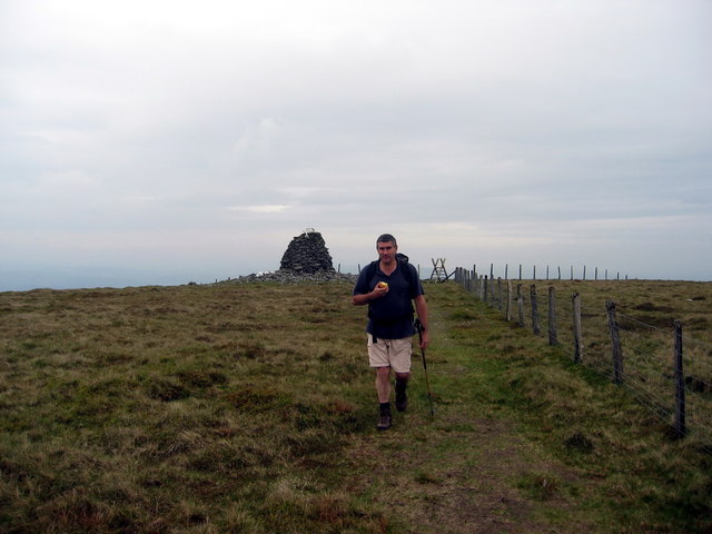
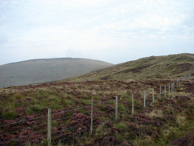
Allt Nantgwenlli Images
Images are sourced within 2km of 52.584208/-3.9822961 or Grid Reference SH6500. Thanks to Geograph Open Source API. All images are credited.


Allt Nantgwenlli is located at Grid Ref: SH6500 (Lat: 52.584208, Lng: -3.9822961)
Unitary Authority: Gwynedd
Police Authority: North Wales
What 3 Words
///insurers.decency.housework. Near Tywyn, Gwynedd
Nearby Locations
Related Wikis

Gogarth railway station
Gogarth railway station served a sparsely populated area on the north shore of the Dyfi estuary in the Welsh county of Merionethshire. == History == Opened...

Frongoch quarry, Aberdyfi
Frongoch slate quarry (also known as Fron-goch slate quarry or Fron-gôch slate quarry) was a slate quarry and mine in Mid Wales, approximately halfway...

Hen Dyffryn Gwyn
Hen Dyffryn Gwyn is a Grade II* listed building in Tywyn, Gwynedd. The house has been dated to 1640 and is listed for being a well-preserved example of...

Cwm Ebol quarry
The Cwm Ebol quarry (also known as Cwmebol quarry) was a slate quarry about 1 mile (1.6 km) north west of the village of Pennal in Mid Wales. It operated...
Nearby Amenities
Located within 500m of 52.584208,-3.9822961Have you been to Allt Nantgwenlli?
Leave your review of Allt Nantgwenlli below (or comments, questions and feedback).