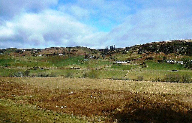
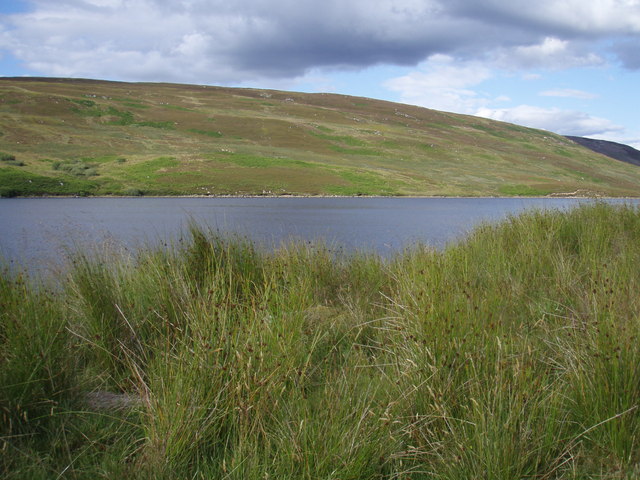
Bad Leathan
Downs, Moorland in Sutherland
Scotland
Bad Leathan

The requested URL returned error: 429 Too Many Requests
If you have any feedback on the listing, please let us know in the comments section below.
Bad Leathan Images
Images are sourced within 2km of 57.995697/-4.2739041 or Grid Reference NC6502. Thanks to Geograph Open Source API. All images are credited.


Bad Leathan is located at Grid Ref: NC6502 (Lat: 57.995697, Lng: -4.2739041)
Unitary Authority: Highland
Police Authority: Highlands and Islands
What 3 Words
///district.sheds.united. Near Lairg, Highland
Nearby Locations
Related Wikis

Muie
Muie (Scottish Gaelic: A' Mhuigh) is a remote village, situated in eastern Sutherland, Scottish Highlands and is in the Scottish council area of Highland...
Ardachu
Ardachu (Scottish Gaelic: Àrd Achadh) is a village within the area of Rogart, Sutherland in the Scottish Highlands, within the Highland Council area. It...
Loch Buidhe (Bonar Bridge)
Loch Buidhe is a freshwater loch in Sutherland, Highland council area, Scotland. It is located about 8 km (5 mi) north-east of Bonar Bridge. The name is...

A839 road
The A839 road is in Sutherland, in the Highland area of Scotland. It runs generally west from the A9 at The Mound near Golspie, via Rogart and Lairg, to...
Nearby Amenities
Located within 500m of 57.995697,-4.2739041Have you been to Bad Leathan?
Leave your review of Bad Leathan below (or comments, questions and feedback).