Low Plantation
Downs, Moorland in Kirkcudbrightshire
Scotland
Low Plantation
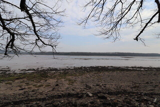
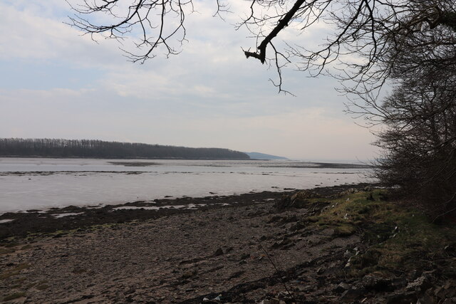
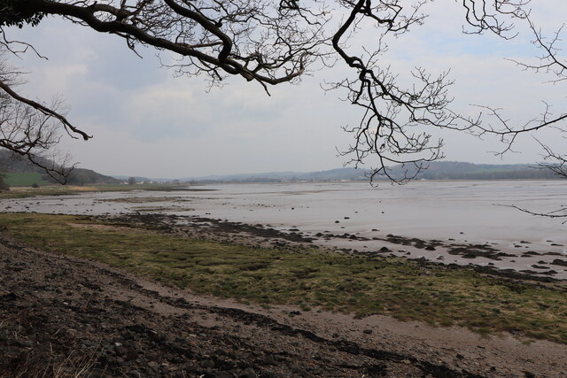
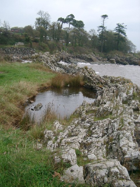
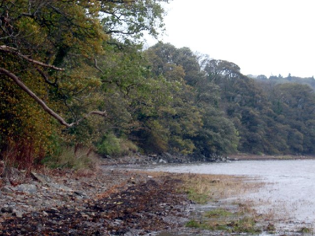
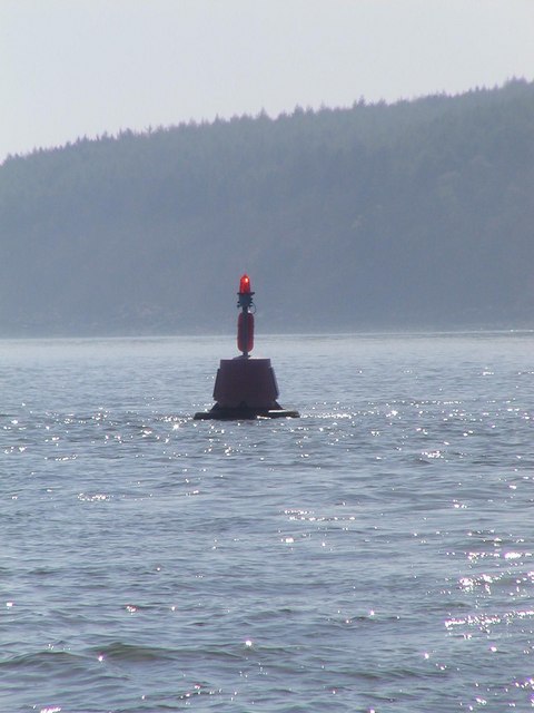
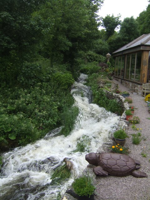
Low Plantation is a picturesque area located in Kirkcudbrightshire, Scotland. Situated amidst the Downs and Moorland, it offers a unique combination of natural beauty and tranquility. The region is characterized by rolling hills, lush greenery, and stunning panoramic views, making it a popular destination for nature enthusiasts and outdoor enthusiasts alike.
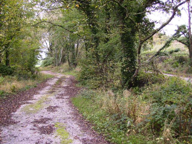
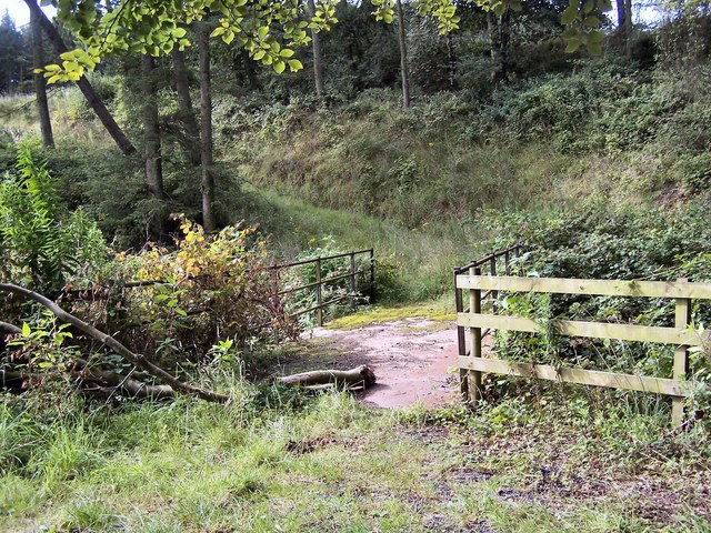
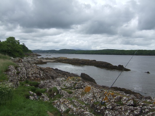
The Downs of Low Plantation are known for their gently sloping terrain and rich vegetation, mainly consisting of grasses and low-growing shrubs. This landscape provides ample opportunities for walking, hiking, and horse riding, with well-maintained trails that wind through the area. The Downs are also home to a diverse array of wildlife, including birds, butterflies, and small mammals, making it a haven for birdwatchers and nature lovers.
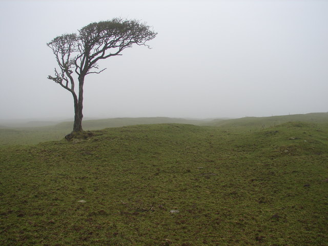
On the other hand, the Moorland of Low Plantation showcases a more rugged and wild terrain. It is characterized by extensive stretches of heather, interspersed with rocky outcrops and peat bogs. The Moorland offers a unique and distinctive landscape, with its vast open spaces and dramatic scenery. It is a perfect destination for those seeking a sense of solitude and a chance to immerse themselves in the untouched beauty of nature.
Visitors to Low Plantation can enjoy a range of activities, such as picnicking, wildlife spotting, and photography. The area also offers opportunities for camping and caravaning, with several designated sites available for visitors. Overall, Low Plantation in Kirkcudbrightshire is a hidden gem, offering a peaceful retreat for nature lovers and a chance to appreciate the captivating beauty of Scotland's countryside.
If you have any feedback on the listing, please let us know in the comments section below.
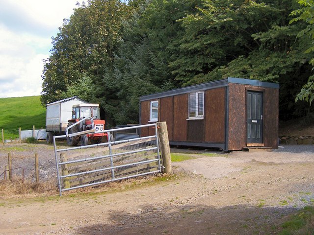
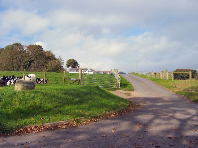
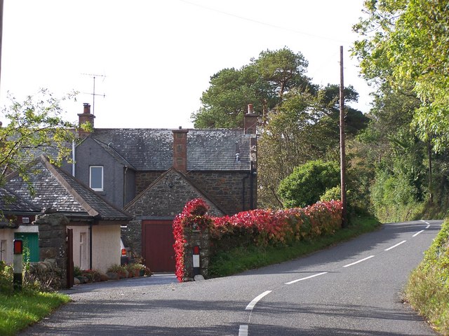
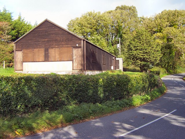
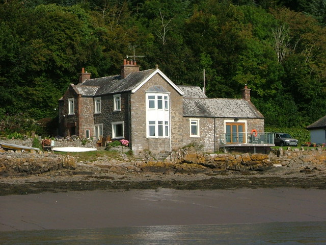
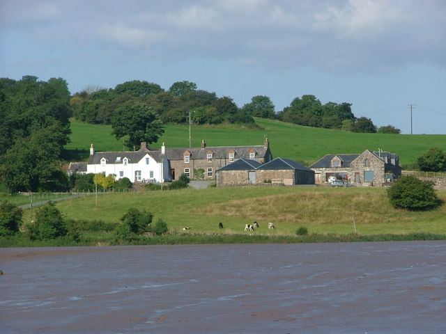
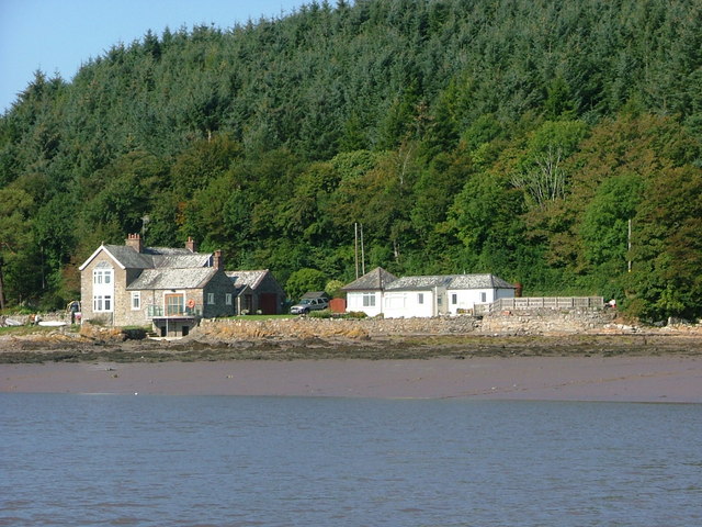
Low Plantation Images
Images are sourced within 2km of 54.832972/-4.0952471 or Grid Reference NX6550. Thanks to Geograph Open Source API. All images are credited.
Low Plantation is located at Grid Ref: NX6550 (Lat: 54.832972, Lng: -4.0952471)
Unitary Authority: Dumfries and Galloway
Police Authority: Dumfries and Galloway
What 3 Words
///includes.recur.shot. Near Kirkcudbright, Dumfries & Galloway
Nearby Locations
Related Wikis

Kirkcudbright Castle
Kirkcudbright Castle, was a castle that was located on the banks of the River Dee, in Kirkcudbright, Scotland. A motte and bailey castle was built in...
St Cuthbert Wanderers F.C.
Saint Cuthbert Wanderers Football Club are a football club from the town of Kirkcudbright in the Stewartry in Galloway, Scotland. They play in the South...
Kirkcudbright Academy
Kirkcudbright Academy is a state funded, six-year secondary school in Kirkcudbright, Scotland with about 400 pupils and 87 staff including teaching, support...
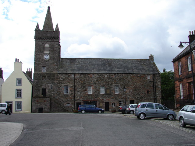
Kirkcudbright Tolbooth
Kirkcudbright Tolbooth is a historic municipal building in Kirkcudbright in Kirkcudbrightshire in the administrative area of Dumfries and Galloway, Scotland...
Nearby Amenities
Located within 500m of 54.832972,-4.0952471Have you been to Low Plantation?
Leave your review of Low Plantation below (or comments, questions and feedback).