Mid Plantation
Wood, Forest in Kirkcudbrightshire
Scotland
Mid Plantation

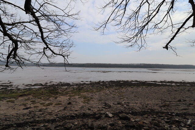
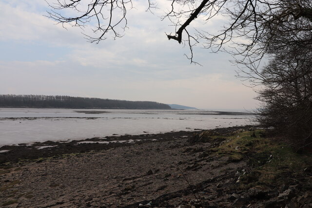
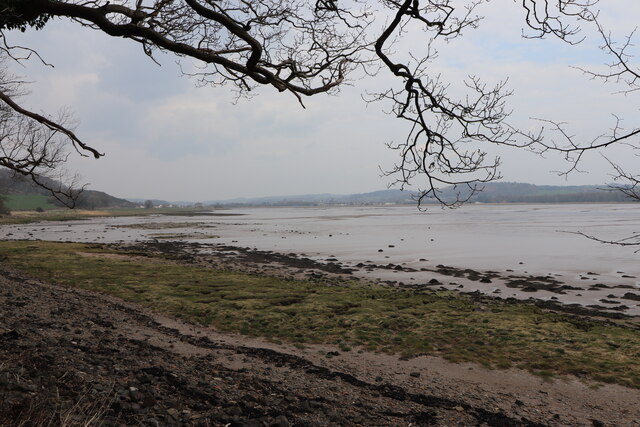
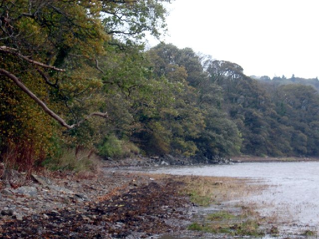
Mid Plantation is a scenic wood and forest located in the historic county of Kirkcudbrightshire, Scotland. Stretching over an area of approximately 100 acres, it is nestled amidst the beautiful countryside, offering a tranquil retreat for nature enthusiasts and outdoor lovers.
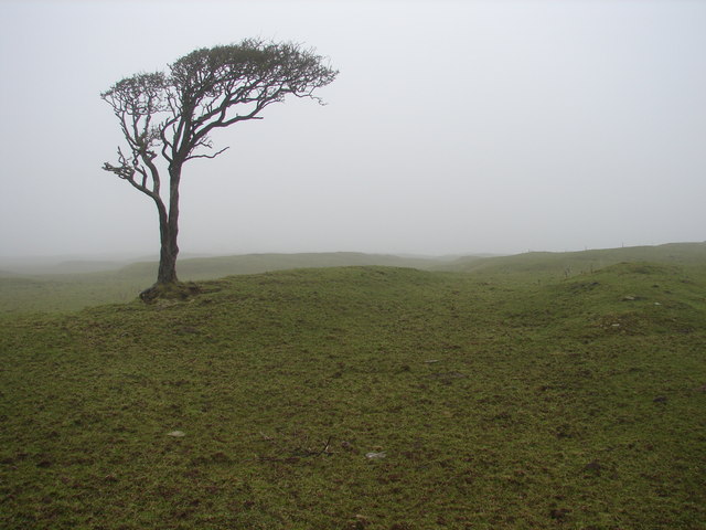
The wood is characterized by a diverse range of trees including oak, beech, and pine, which create a rich and vibrant canopy. Walking through the woodland, visitors are greeted with a picturesque landscape, filled with an abundance of wildlife and flora. The forest floor is adorned with a carpet of wildflowers, adding a splash of color to the surroundings.
Mid Plantation is a haven for birdwatchers, as various species of birds can be spotted here throughout the year. From the melodious chirping of songbirds to the majestic flight of birds of prey, the wood provides a perfect habitat for these winged creatures.
The wood also offers several walking trails, allowing visitors to explore its natural beauty at their own pace. The trails meander through the forest, offering glimpses of serene ponds, cascading streams, and hidden clearings. Nature lovers can also enjoy a picnic in one of the designated areas, immersing themselves in the peaceful ambiance of the wood.
Managed by the local authorities, Mid Plantation is a well-maintained and accessible woodland, attracting both locals and tourists alike. It serves as a valuable recreational space, providing an opportunity to reconnect with nature and enjoy the peaceful serenity of the Scottish countryside.
If you have any feedback on the listing, please let us know in the comments section below.
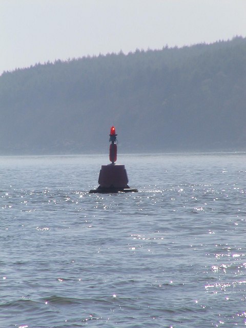
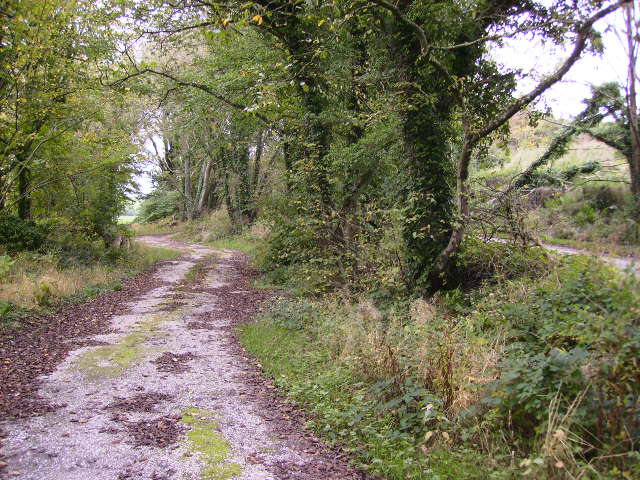
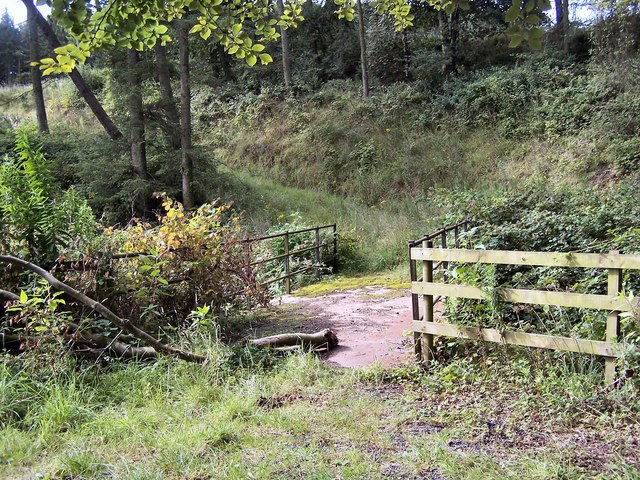
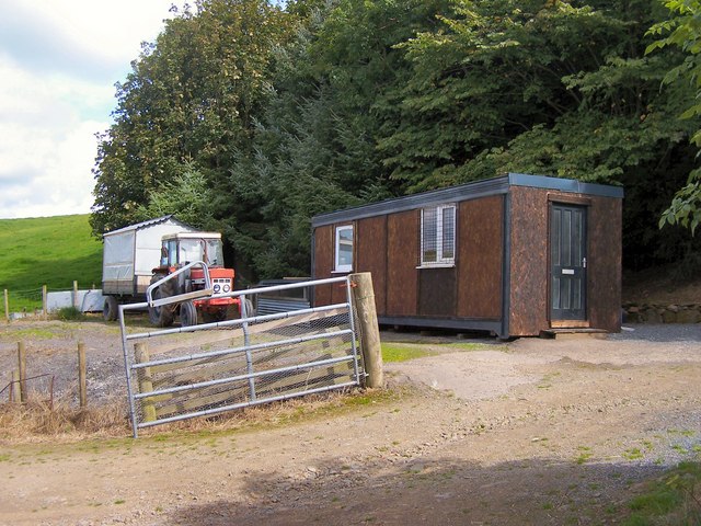
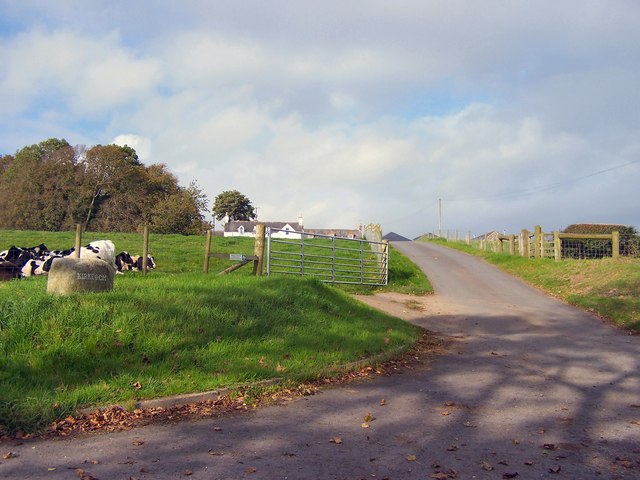
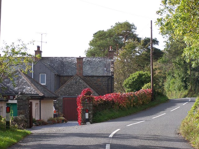
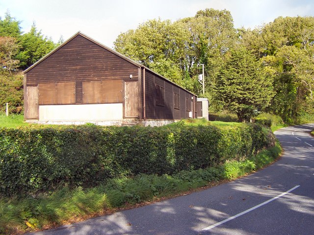
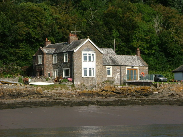
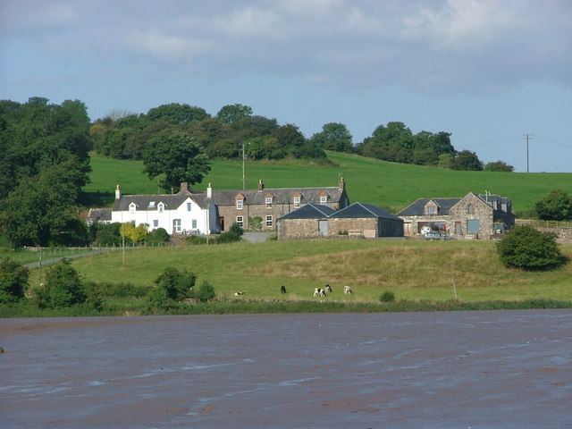
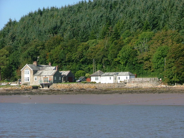
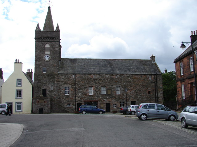
Mid Plantation Images
Images are sourced within 2km of 54.834661/-4.0937151 or Grid Reference NX6550. Thanks to Geograph Open Source API. All images are credited.


Mid Plantation is located at Grid Ref: NX6550 (Lat: 54.834661, Lng: -4.0937151)
Unitary Authority: Dumfries and Galloway
Police Authority: Dumfries and Galloway
What 3 Words
///tolerable.lows.passages. Near Kirkcudbright, Dumfries & Galloway
Nearby Locations
Related Wikis

Kirkcudbright Castle
Kirkcudbright Castle, was a castle that was located on the banks of the River Dee, in Kirkcudbright, Scotland.A motte and bailey castle was built in the...
St Cuthbert Wanderers F.C.
Saint Cuthbert Wanderers Football Club are a football club from the town of Kirkcudbright in the Stewartry in Galloway, Scotland. They play in the South...
Kirkcudbright Academy
Kirkcudbright Academy is a state funded, six-year secondary school in Kirkcudbright, Scotland with about 400 pupils and 87 staff including teaching, support...
Kirkcudbright Tolbooth
Kirkcudbright Tolbooth is a historic municipal building in Kirkcudbright in Dumfries and Galloway, Scotland. Built between 1627 and 1629 to serve the town...
Nearby Amenities
Located within 500m of 54.834661,-4.0937151Have you been to Mid Plantation?
Leave your review of Mid Plantation below (or comments, questions and feedback).