Northern Moor
Downs, Moorland in Devon Torridge
England
Northern Moor
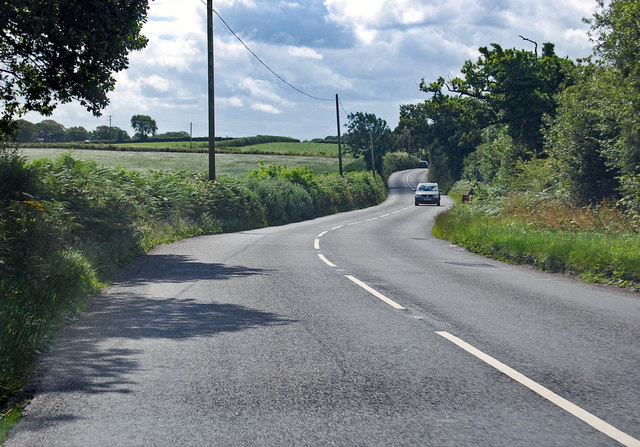
Northern Moor is a picturesque area located in Devon, England. It is characterized by its stunning natural beauty, consisting of rolling downs and vast moorland. The region is renowned for its tranquil and unspoiled landscapes, attracting nature enthusiasts and outdoor adventurers alike.
The downs of Northern Moor offer breathtaking panoramic views of the surrounding countryside. They are covered in lush green grass and dotted with wildflowers, creating a vibrant and idyllic atmosphere. The gentle slopes of the downs make them perfect for leisurely walks and picnics, allowing visitors to fully immerse themselves in the peaceful ambiance.
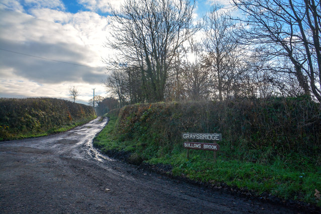
The moorland in Northern Moor is a unique ecosystem, boasting a diverse range of plant and animal species. The expansive moors are covered in heather and gorse, creating a stunning contrast of colors during the summer months. Visitors can spot various bird species, including skylarks and buzzards, soaring through the skies above.
For those seeking adventure, Northern Moor offers ample opportunities for outdoor activities. Hiking and cycling trails crisscross the area, allowing visitors to explore the natural wonders at their own pace. The moorland also offers excellent opportunities for birdwatching, with designated observation points providing ideal vantage points.
In addition to its natural attractions, Northern Moor is home to a small community of local residents. The town is known for its friendly and welcoming atmosphere, with a range of amenities and services available to cater to visitors' needs. Overall, Northern Moor is a haven of tranquility and natural beauty, offering a truly unforgettable experience for anyone who ventures into its enchanting landscapes.
If you have any feedback on the listing, please let us know in the comments section below.
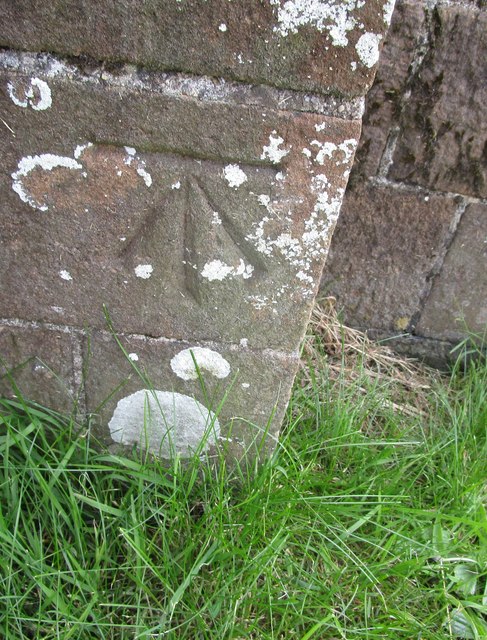
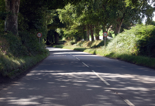
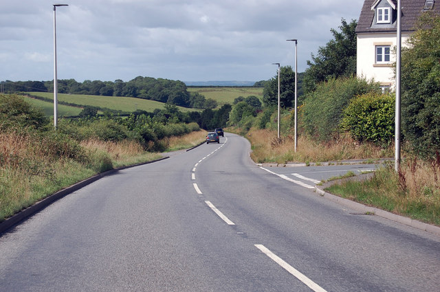
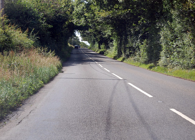
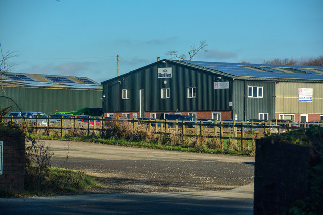
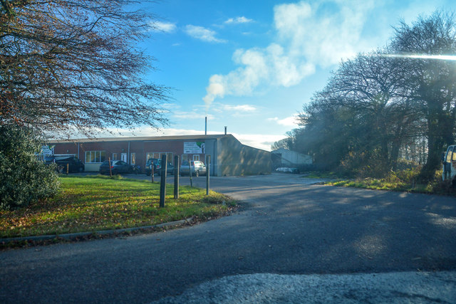
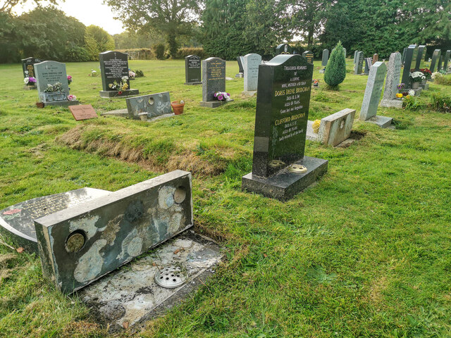
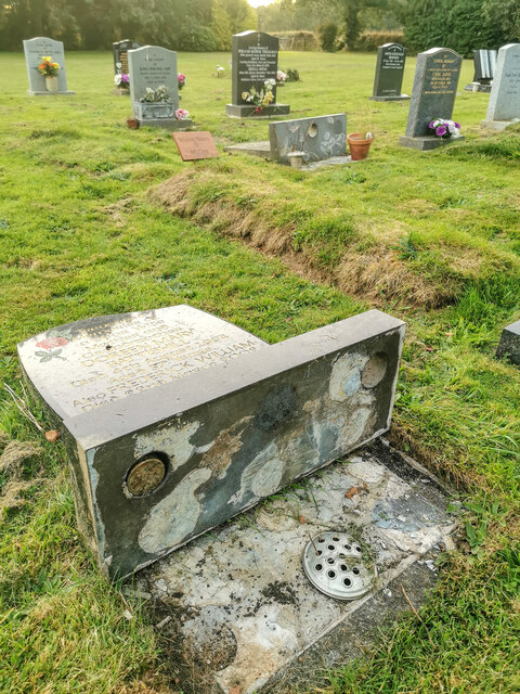
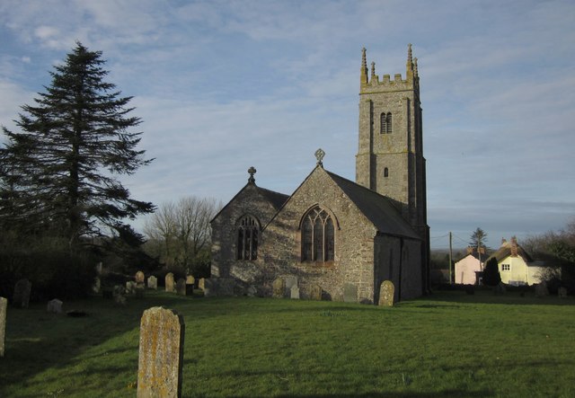
Northern Moor Images
Images are sourced within 2km of 50.848419/-3.9351209 or Grid Reference SS6307. Thanks to Geograph Open Source API. All images are credited.
Northern Moor is located at Grid Ref: SS6307 (Lat: 50.848419, Lng: -3.9351209)
Administrative County: Devon
District: Torridge
Police Authority: Devon and Cornwall
What 3 Words
///flock.storyline.fishery. Near Winkleigh, Devon
Nearby Locations
Related Wikis

Church of All Saints, Winkleigh
The Church of All Saints is a Church of England parish church in Winkleigh, Devon. The church is a Grade I listed building. == History == The earliest...

Winkleigh
Winkleigh is a civil parish and small village in Devon, England. It is part of the local government area of Torridge District Council. The population of...
Broadwoodkelly
Broadwoodkelly is a village and civil parish in the West Devon district of Devon, England. According to the 2001 census it had a population of 218. The...

RAF Winkleigh
Royal Air Force Winkleigh, or more simply RAF Winkleigh, is a former Royal Air Force satellite station located near to Winkleigh, Devon and south of Barnstaple...

Bondleigh
Bondleigh is a village and civil parish in the West Devon district of Devon, England, on the River Taw, north of North Tawton. According to the 2011 census...

Wembworthy
Wembworthy is a small village, parish and former manor in Mid-Devon, England. It is situated in the valley of the River Taw, 8 miles north-east of the...

Brushford, Devon
Brushford is a village and civil parish in the Mid Devon district of Devon in England. According to the 2001 census it had a population of 59. The village...

Honeychurch, Devon
Honeychurch is a village and former civil parish now in the parish of Sampford Courtenay, in the West Devon district of the English county of Devon. It...
Nearby Amenities
Located within 500m of 50.848419,-3.9351209Have you been to Northern Moor?
Leave your review of Northern Moor below (or comments, questions and feedback).