Tree Moor
Wood, Forest in Devon Torridge
England
Tree Moor
Tree Moor is a picturesque woodland area located in Devon, England. Situated in the heart of the county, this enchanting forest covers a sprawling area of approximately 500 acres. Known for its diverse ecosystem, Tree Moor is home to a wide variety of plant and animal species, making it a haven for nature enthusiasts and wildlife lovers alike.
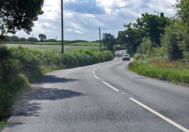
The woodland of Tree Moor consists primarily of deciduous trees such as oak, beech, and birch, creating a stunning display of vibrant colors during the autumn months. These trees provide a dense canopy, allowing only dappled sunlight to filter through and creating a tranquil and serene atmosphere. Throughout the forest, a network of well-maintained trails winds its way, offering visitors the opportunity to explore and discover the hidden treasures of this natural wonderland.
Wildlife thrives in Tree Moor, with numerous species finding refuge in its lush greenery. Birdwatchers can spot a variety of feathered friends, including woodpeckers, owls, and songbirds, while small mammals like squirrels and rabbits scurry through the underbrush. The occasional deer can also be seen gracefully traversing the forest floor, adding to the area's charm and allure.
Tree Moor is not only a haven for nature, but it also offers recreational activities for visitors to enjoy. The well-designed trails are perfect for walking, jogging, or cycling, allowing people to immerse themselves in the beauty of the surroundings. Additionally, designated picnic areas provide the perfect spot to relax and enjoy a meal amidst the peaceful ambiance.
Overall, Tree Moor in Devon is a breathtaking woodland paradise that offers a refuge from the hustle and bustle of everyday life. Its natural beauty, diverse ecosystem, and recreational opportunities make it a must-visit destination for nature enthusiasts and those seeking a peaceful escape in the heart of Devon.
If you have any feedback on the listing, please let us know in the comments section below.
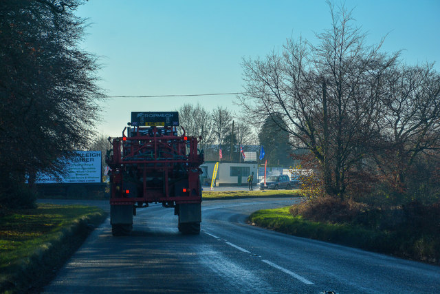
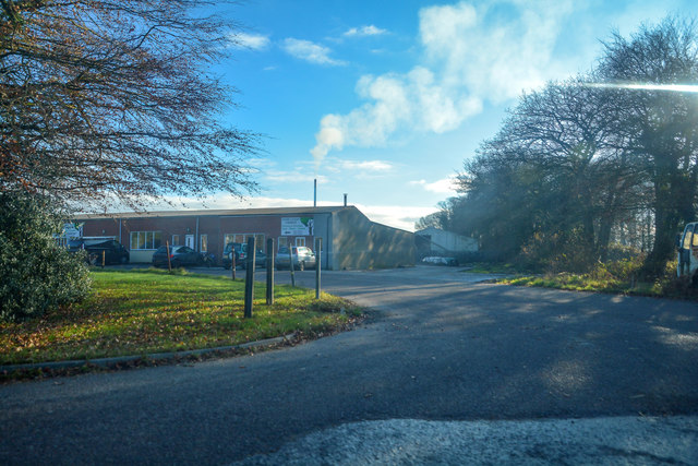
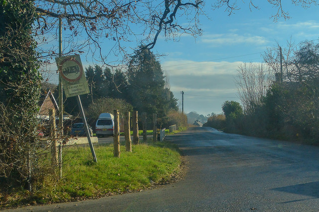
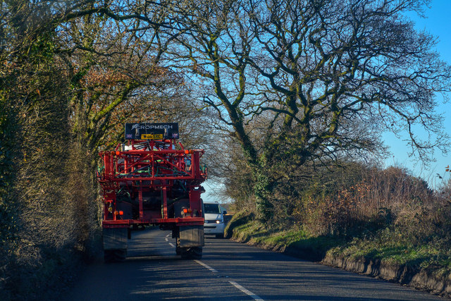
Tree Moor Images
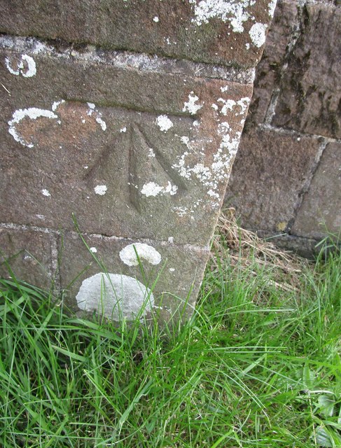
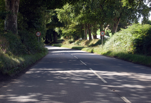
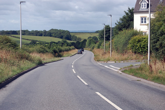
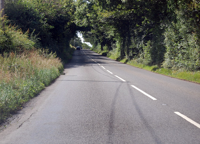
Images are sourced within 2km of 50.847028/-3.9452488 or Grid Reference SS6307. Thanks to Geograph Open Source API. All images are credited.
Tree Moor is located at Grid Ref: SS6307 (Lat: 50.847028, Lng: -3.9452488)
Administrative County: Devon
District: Torridge
Police Authority: Devon and Cornwall
What 3 Words
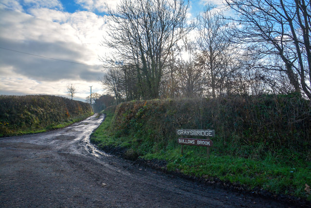
///atlas.deep.cupcake. Near Winkleigh, Devon
Nearby Locations
Related Wikis

Winkleigh
Winkleigh is a civil parish and small village in Devon, England. It is part of the local government area of Torridge District Council. The population of...

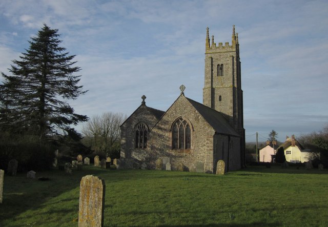
Church of All Saints, Winkleigh
The Church of All Saints is a Church of England parish church in Winkleigh, Devon. The church is a Grade I listed building. == History == The earliest...
Broadwoodkelly
Broadwoodkelly is a village and civil parish in the West Devon district of Devon, England. According to the 2001 census it had a population of 218. The...

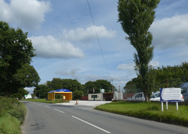
RAF Winkleigh
Royal Air Force Winkleigh, or more simply RAF Winkleigh, is a former Royal Air Force satellite station located near to Winkleigh, Devon and south of Barnstaple...
Nearby Amenities
Located within 500m of 50.847028,-3.9452488Have you been to Tree Moor?
Leave your review of Tree Moor below (or comments, questions and feedback).