Whitely Moors
Downs, Moorland in Devon West Devon
England
Whitely Moors

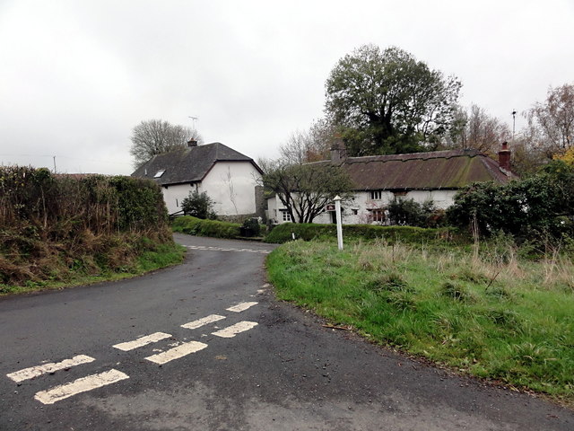
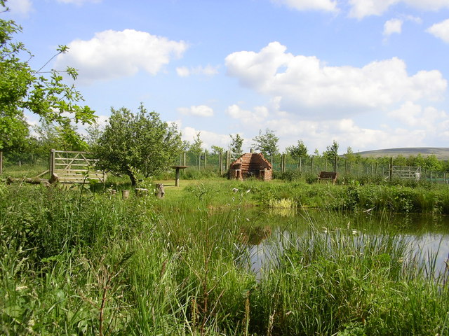
Whitely Moors is a picturesque area located in Devon, England. Situated in the southern region of the county, it is well-known for its breathtaking downs and sprawling moorland landscapes. Spanning an area of approximately 10 square miles, Whitely Moors offers a diverse range of natural beauty and wildlife.
The moorland of Whitely Moors is characterized by its expansive open spaces, covered in heather and gorse, with patches of scattered woodland. This unique habitat provides a haven for a variety of flora and fauna. Visitors can expect to encounter native species such as Dartford warblers, adders, and skylarks, among others.
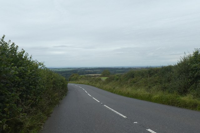
The downs of Whitely Moors offer stunning panoramic views of the surrounding countryside. Rolling hills, adorned with vibrant wildflowers during the spring and summer months, create a serene and idyllic atmosphere. The downs are also home to an array of grazing livestock, including sheep and cattle, contributing to the pastoral charm of the area.
Whitely Moors is a popular destination for outdoor enthusiasts and nature lovers alike. The moorland and downs provide ample opportunities for activities such as hiking, birdwatching, and photography. Several well-marked trails meander through the area, allowing visitors to explore its beauty at their own pace.
In addition to its natural attractions, Whitely Moors boasts a rich cultural heritage. The ruins of ancient settlements and burial sites can be found scattered throughout the landscape, offering a glimpse into the area's past. Local folklore and legends add an element of intrigue to the already enchanting atmosphere.
Overall, Whitely Moors is a must-visit destination for those seeking tranquility, natural beauty, and a connection to the rich history of Devon.
If you have any feedback on the listing, please let us know in the comments section below.
Whitely Moors Images
Images are sourced within 2km of 50.764023/-3.9705617 or Grid Reference SX6197. Thanks to Geograph Open Source API. All images are credited.


Whitely Moors is located at Grid Ref: SX6197 (Lat: 50.764023, Lng: -3.9705617)
Administrative County: Devon
District: West Devon
Police Authority: Devon and Cornwall
What 3 Words
///ogre.difficult.performed. Near Okehampton, Devon
Nearby Locations
Related Wikis

Brightley Priory
Brightley Priory was founded in 1133 as a Cistercian monastery. It was built in 1136 and was situated about two miles north of Okehampton in Devon and...

Belstone Corner
Belstone Corner is a hamlet in West Devon in the English county of Devon, part of the civil parish of Sampford Courtenay. The Sampford Courtenay railway...
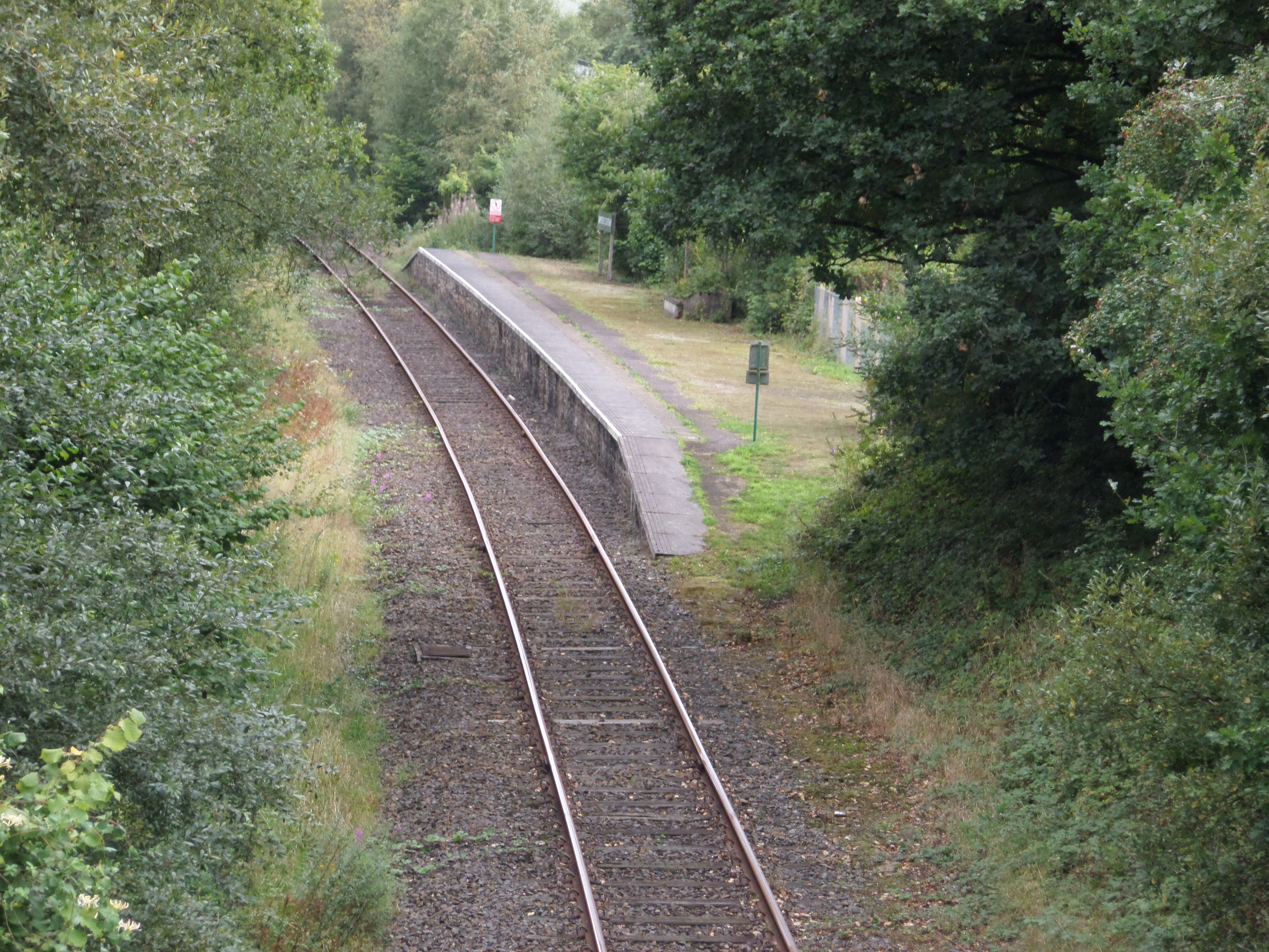
Sampford Courtenay railway station
Sampford Courtenay railway station is a disused railway station at Belstone Corner, which used to serve the nearby (1.6 miles) village of Sampford Courtenay...
Stockley, Devon
Stockley is a hamlet on the eastern outskirts of Okehampton, in Devon, England. It lies just north of the A30. == References == The geographic coordinates...
Okehampton Hamlets
Okehampton Hamlets is a civil parish in the Borough of West Devon and the English county of Devon, it runs independently from the Okehampton Town Council...
Okehampton Parkway railway station
Okehampton Parkway is a proposed railway station in Okehampton on the Dartmoor Line. The station would be part of the Devon Metro and has been described...
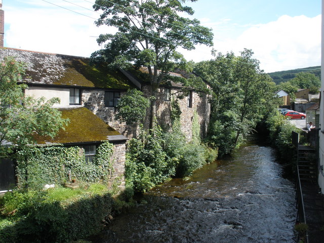
East Okement River
East Okement is a river in the Dartmoor moors in Devon in south-west England. It joins the West Okement at Okehampton to form the Okement. == References ==
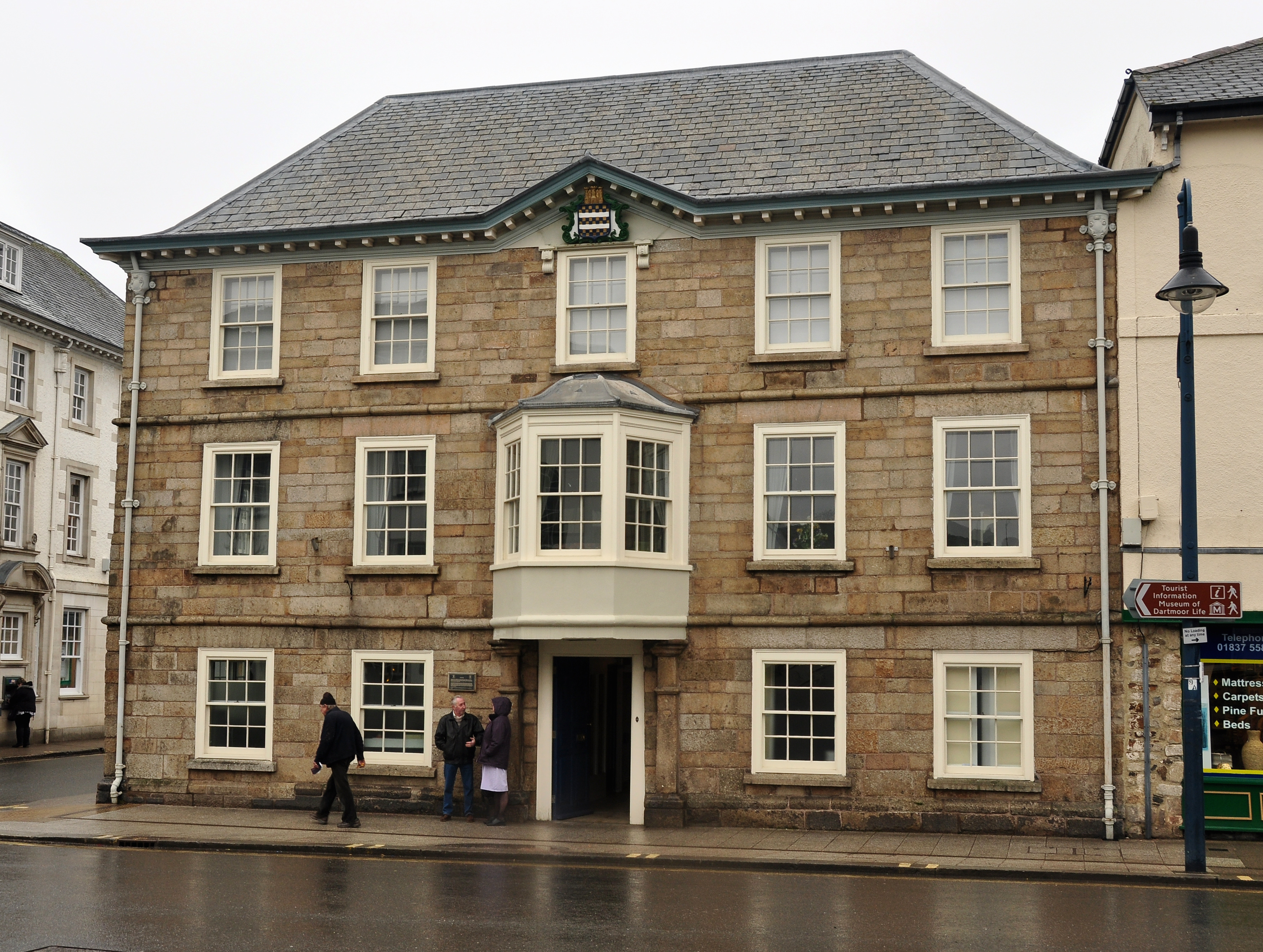
Okehampton Town Hall
Okehampton Town Hall is a municipal building in Fore Street, Okehampton, Devon, England. The town hall, which is the meeting place of Okehampton Town Council...
Nearby Amenities
Located within 500m of 50.764023,-3.9705617Have you been to Whitely Moors?
Leave your review of Whitely Moors below (or comments, questions and feedback).