Dam Cottage Wood

Downs, Moorland in Perthshire

Scotland

Dam Cottage Wood

B8034 at Dykehead Dykehead consists of just a handful of houses - and a postbox (number FK8 135).
B8034 at Dykehead Credit: Richard Sutcliffe

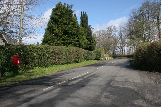
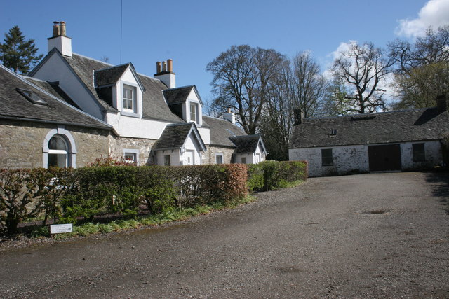
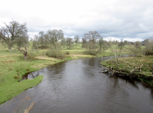
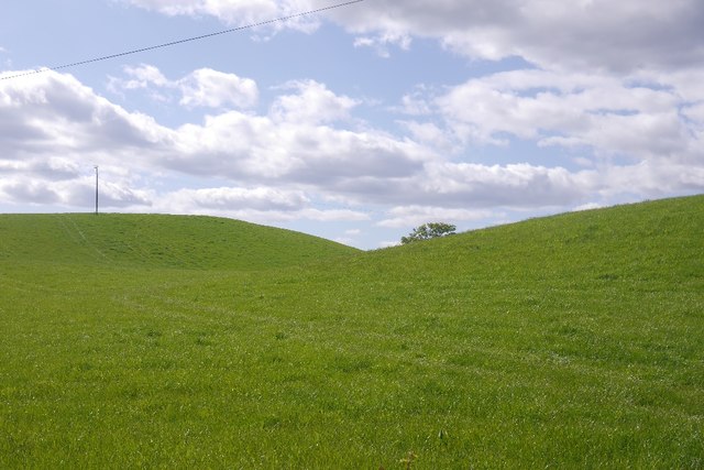
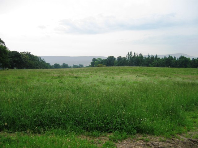
Dam Cottage Wood is a picturesque woodland area located in Perthshire, Scotland. Nestled in the heart of the countryside, this natural gem offers visitors a tranquil and serene experience. Spread across a vast expanse of land, the wood is characterized by sweeping downs and moorland, creating a diverse and enchanting landscape.

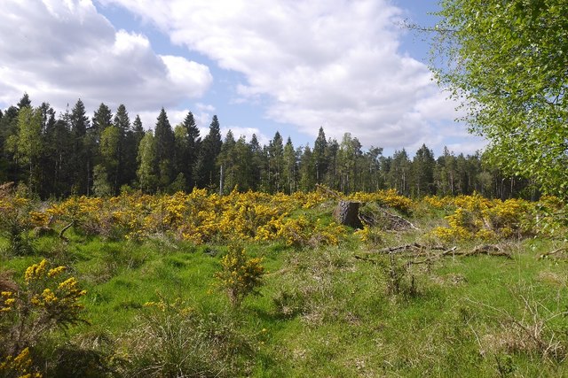
The wood is home to a rich variety of flora and fauna, including ancient oak trees, birch, and rowan. The dense foliage provides a haven for a myriad of bird species, making it a paradise for birdwatchers. Visitors may spot the elusive red squirrels darting among the trees or catch a glimpse of deer grazing in the distance.

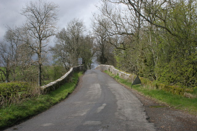
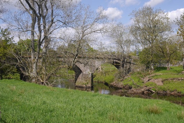
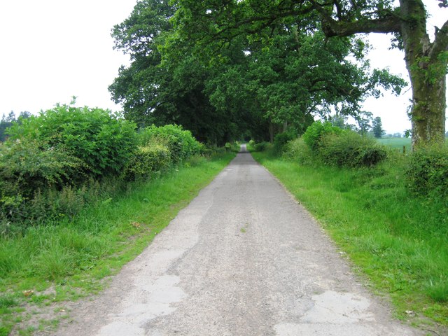
Trails wind their way through the wood, inviting nature enthusiasts and hikers to explore its hidden treasures. As visitors venture deeper into the wood, they are rewarded with breathtaking panoramic views of the surrounding countryside and rolling hills. The downs and moorland offer a stark contrast to the lush woodland, adding to the area's unique allure.

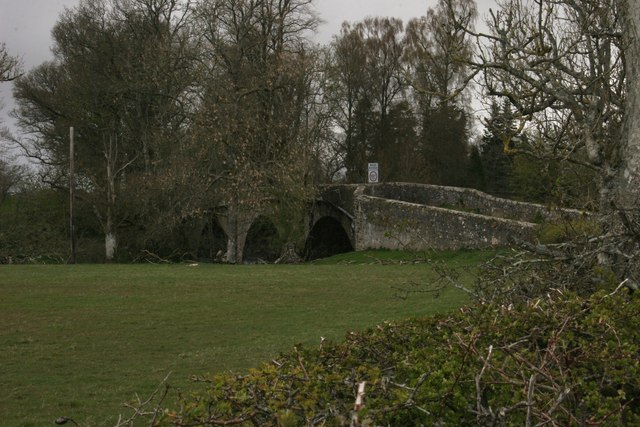
The wood is also steeped in history, with remnants of ancient settlements and ruins dotting the landscape. Archaeological enthusiasts can immerse themselves in the past and uncover the secrets of the area's former inhabitants.

Whether it's a leisurely stroll, an adventurous hike, or a peaceful picnic, Dam Cottage Wood provides a haven for nature lovers and history enthusiasts alike. With its diverse ecosystem and captivating beauty, it is a must-visit destination for those seeking solace in the Scottish countryside.

If you have any feedback on the listing, please let us know in the comments section below.

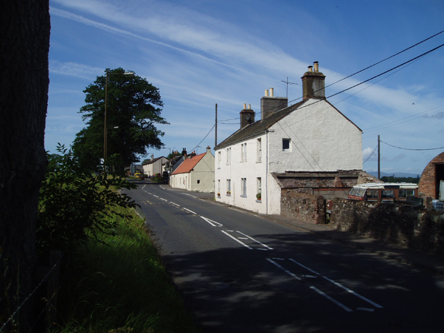
Dam Cottage Wood Images

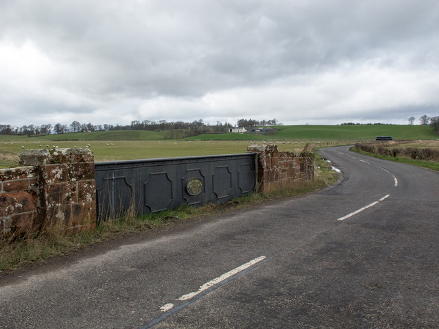
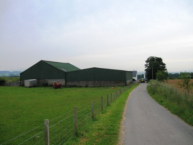
Images are sourced within 2km of 56.143325/-4.2505664 or Grid Reference NS6096. Thanks to Geograph Open Source API. All images are credited.

B8034 at Dykehead Dykehead consists of just a handful of houses - and a postbox (number FK8 135).
B8034 at Dykehead
Dykehead consists of just a handful of houses - and a postbox (number FK8 135).
Dykehead Cottages The building on the left is a Category B listed, late 18th century toll house, that was later used as a library.
Dykehead Cottages
The building on the left is a Category B listed, late 18th century toll house, that was later used as a library.
Cardross Bridge The B8034 crosses the River Forth.
Cardross Bridge
The B8034 crosses the River Forth.
Cardross Bridge The B8034 crosses the River Forth.
Cardross Bridge
The B8034 crosses the River Forth.
River Forth at Cardross Bridge
Track, Backside of Garden An area of scattered woodland beside the former Forth and Clyde railway.
Track, Backside of Garden
An area of scattered woodland beside the former Forth and Clyde railway.
Woodland, Backhill of Garden Scattered trees next to a small spruce wood.  A track runs in from the site of Port of Menteith Station.
Woodland, Backhill of Garden
Scattered trees next to a small spruce wood. A track runs in from the site of Port of Menteith Station.
Cardross Bridge Crossing the Forth.
Cardross Bridge
Crossing the Forth.
Pasture, Hilton The grass is at last getting going, low hills above Cardross Bridge.
Pasture, Hilton
The grass is at last getting going, low hills above Cardross Bridge.
River Forth Downstream of Cardross Bridge.
River Forth
Downstream of Cardross Bridge.
Clearing, Keir Wood Gorse in full bloom.
Clearing, Keir Wood
Gorse in full bloom.
Felled area, Big Wood Freshly cut timber.
Felled area, Big Wood
Freshly cut timber.
Bridge over the Arngibbon Burn This cast-iron bridge bears an oval plaque with the legend 'Robert Melvin, Engineer, Alloa, 1898' and crosses the small burn on the B8034 road. A bridge with the same plaque legend is situated at Polmont railway station. See <a title="https://www.geograph.org.uk/photo/3707815" href="https://www.geograph.org.uk/photo/3707815">Link</a>
Bridge over the Arngibbon Burn
This cast-iron bridge bears an oval plaque with the legend 'Robert Melvin, Engineer, Alloa, 1898' and crosses the small burn on the B8034 road. A bridge with the same plaque legend is situated at Polmont railway station. See Link
Road near Ballangrew
Field near Ballangrew
Ballangrew
Ballangrew
Signal Point Remains Remains of a signal point alongside the former Forth And Clyde Junction Railway, adjacent to Station Wood (and just east of Port Of Menteith Station), Arnprior.
Signal Point Remains
Remains of a signal point alongside the former Forth And Clyde Junction Railway, adjacent to Station Wood (and just east of Port Of Menteith Station), Arnprior.
Trackbed Near Station Wood The trackbed of the former Forth And Clyde Junction Railway, now used as access to farmland.
Trackbed Near Station Wood
The trackbed of the former Forth And Clyde Junction Railway, now used as access to farmland.
Show me another place!

Dam Cottage Wood is located at Grid Ref: NS6096 (Lat: 56.143325, Lng: -4.2505664)

Unitary Authority: Stirling

Police Authority: Forth Valley

What 3 Words

///highlighted.investor.fashion. Near Kippen, Stirling

Related Wikis

Port of Menteith railway station

Port of Menteith railway station served the village of Port of Menteith, Stirling, Scotland, from 1856 by 1934 on the Forth and Clyde Junction Railway...

A811 road

The A811 is a road in central Scotland. It runs from Stirling to Balloch. == Route == The road starts off in the centre of Stirling, at the Craigs Roundabout...

Arnprior, Stirling

Arnprior is a hamlet in the Stirling council area of Scotland on the A811 about 12 miles west of Stirling and is one of the smallest community council...

Ladylands Platform railway station

Ladylands Platform railway station co-served the village of Kippen, Stirling, Scotland, from 1861 to 1934 on the Forth and Clyde Junction Railway. ��2...

Nearby Amenities

Located within 500m of 56.143325,-4.2505664
Power: pole
Lat/Long: 56.1450373/-4.2571335
Power: pole
Lat/Long: 56.1452296/-4.2560792
Power: pole
Lat/Long: 56.1451608/-4.2550501
Power: pole
Lat/Long: 56.1450874/-4.2540565
Power: pole
Lat/Long: 56.145007/-4.2529312
Power: pole
Lat/Long: 56.1447483/-4.2549225
Power: pole
Lat/Long: 56.1442472/-4.2537407
Power: pole
Lat/Long: 56.144098/-4.2529207
Power: pole
Lat/Long: 56.1436471/-4.2517912
Power: pole
Lat/Long: 56.1431483/-4.2505675
Power: pole
Lat/Long: 56.1428103/-4.2497224
The data included in this document is from www.openstreetmap.org. The data is made available under ODbL.

Have you been to Dam Cottage Wood?

Leave your review of Dam Cottage Wood below (or comments, questions and feedback).