Balgair Muir
Downs, Moorland in Stirlingshire
Scotland
Balgair Muir
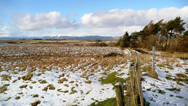
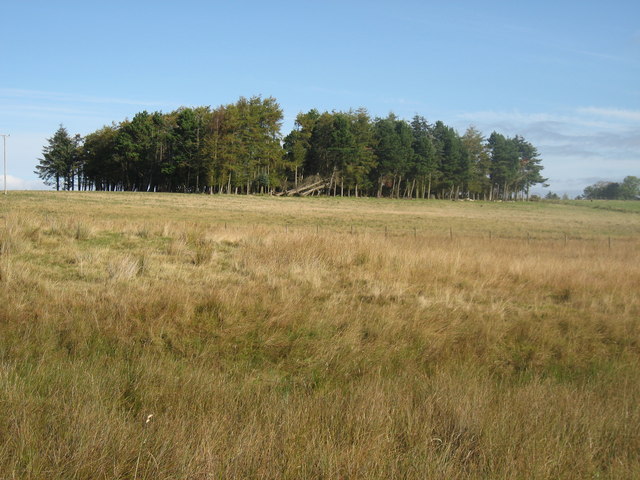
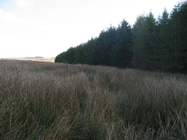
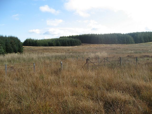
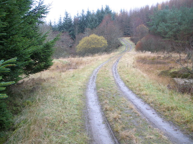
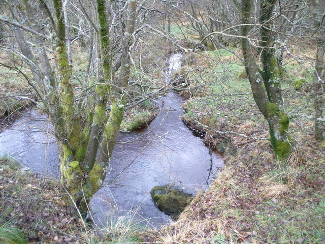
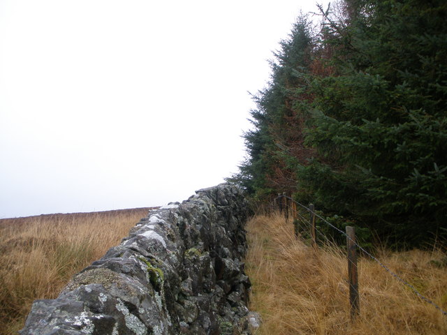
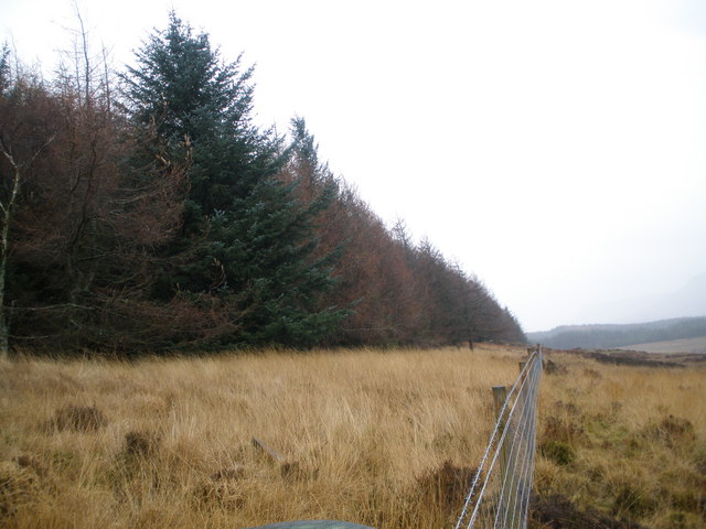
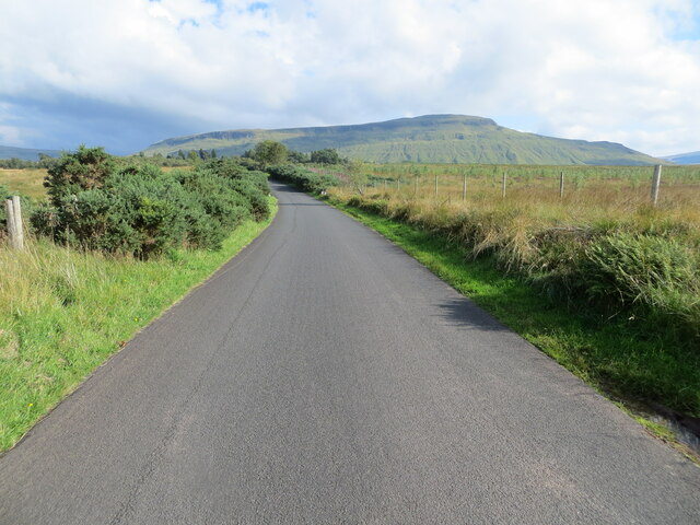
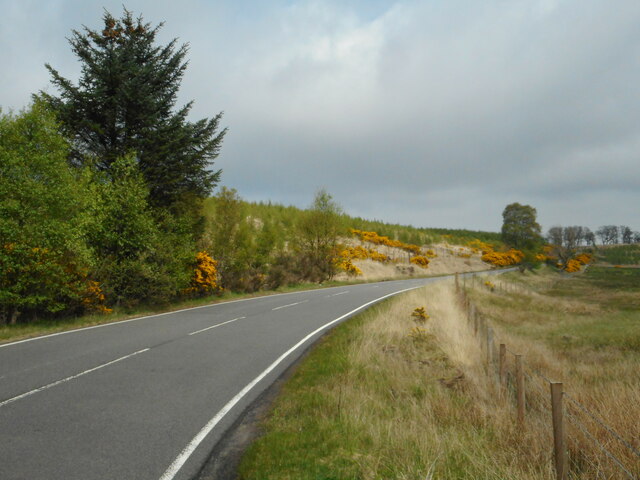
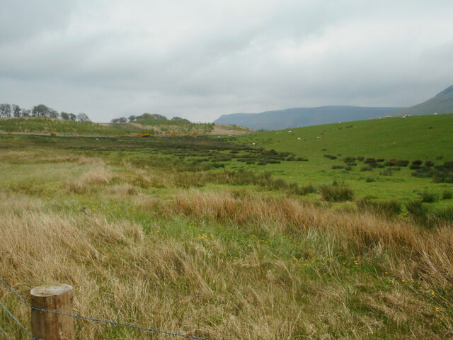
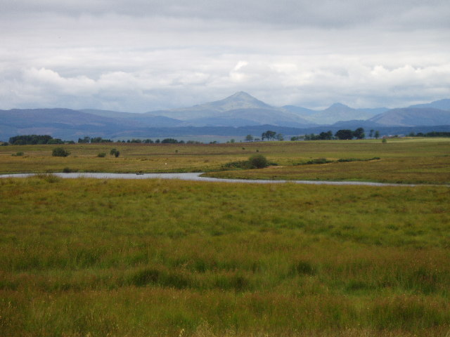
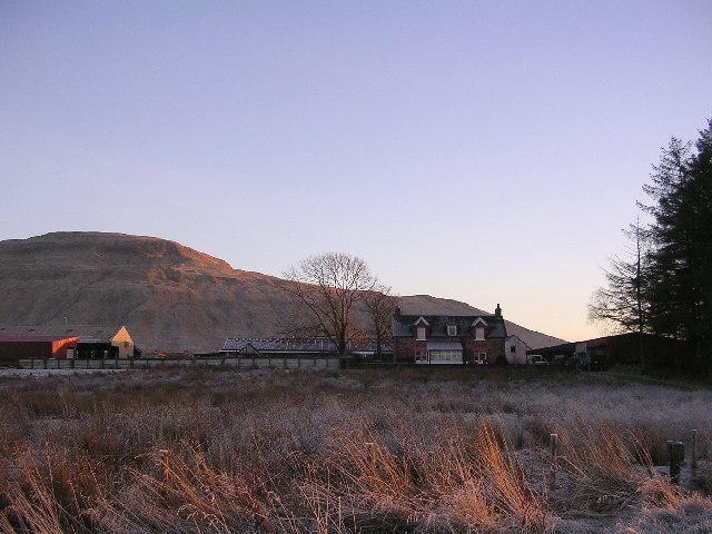
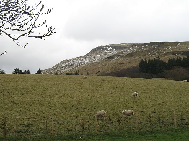
Balgair Muir is a picturesque area located in Stirlingshire, Scotland. Situated amidst the breathtaking landscape of the Scottish Highlands, it is known for its expansive downs and moorland. The moorland is characterized by wide open spaces, covered in heather and grasses, stretching as far as the eye can see. The area is rich in natural beauty, with rolling hills and scattered patches of woodland adding to its charm.
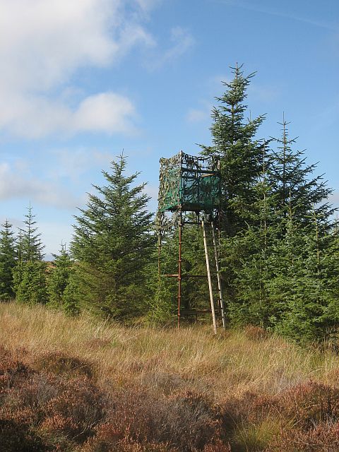
Balgair Muir offers a haven for outdoor enthusiasts, providing ample opportunities for activities such as hiking, birdwatching, and nature photography. The downs provide a perfect habitat for various bird species, including red grouse, golden eagles, and merlins, making it a popular spot for birdwatchers. The moorland is also home to a diverse range of flora and fauna, with vibrant wildflowers blooming in the summer months.
The area's remote location and untouched beauty make it an ideal destination for those seeking tranquility and solitude. The peacefulness of Balgair Muir allows visitors to escape the hustle and bustle of everyday life, immersing themselves in the serenity of nature. The vast expanse of the moorland provides a sense of freedom and space, where one can truly appreciate the beauty of the Scottish countryside.
Balgair Muir is a hidden gem nestled within the heart of Scotland, offering a unique and unforgettable experience for those who venture to explore its downs and moorland.
If you have any feedback on the listing, please let us know in the comments section below.
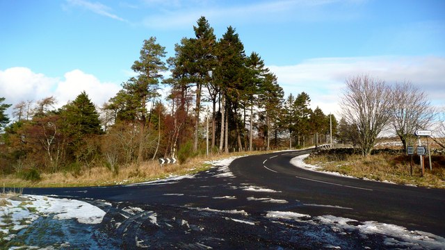
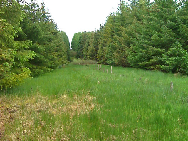
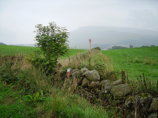
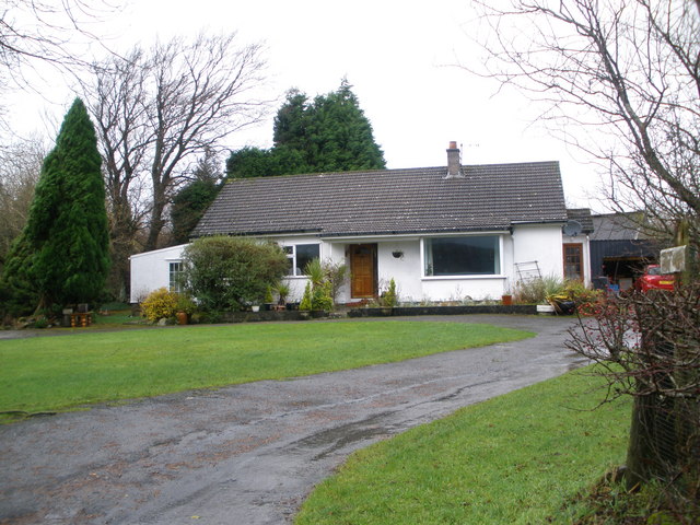
Balgair Muir Images
Images are sourced within 2km of 56.089198/-4.2474395 or Grid Reference NS6090. Thanks to Geograph Open Source API. All images are credited.
Balgair Muir is located at Grid Ref: NS6090 (Lat: 56.089198, Lng: -4.2474395)
Unitary Authority: Stirling
Police Authority: Forth Valley
What 3 Words
///neatly.eminent.nursery. Near Balfron, Stirling
Nearby Locations
Related Wikis
Stronend
Stronend (511 m) is the highest peak of the Fintry Hills in Stirlingshire, Scotland. Standing above the village of Fintry, it provides excellent views...

Culcreuch Castle
Culcreuch Castle is a Scottish castle close to the village of Fintry, near Loch Lomond. It had been the home of the Barons of Culcreuch since 1699. In...
Buchlyvie
Buchlyvie is a village in the Stirling council area of Scotland. It is situated 14 miles (23 km) west of Stirling and 18 miles (29 km) north of Glasgow...

A811 road
The A811 is a road in central Scotland. It runs from Stirling to Balloch. == Route == The road starts off in the centre of Stirling, at the Craigs Roundabout...
Have you been to Balgair Muir?
Leave your review of Balgair Muir below (or comments, questions and feedback).