Paul's Moor

Downs, Moorland in Devon North Devon

England

Paul's Moor

Umberleigh Station An early morning train to Barnstaple calls at this rural halt.
Umberleigh Station Credit: Stephen McKay

Paul's Moor is a picturesque area located in Devon, England. It is situated on the southern edge of Dartmoor National Park, known for its stunning landscapes and rugged beauty. Covering an expansive area of moorland, Paul's Moor offers visitors a unique experience in the heart of the British countryside.

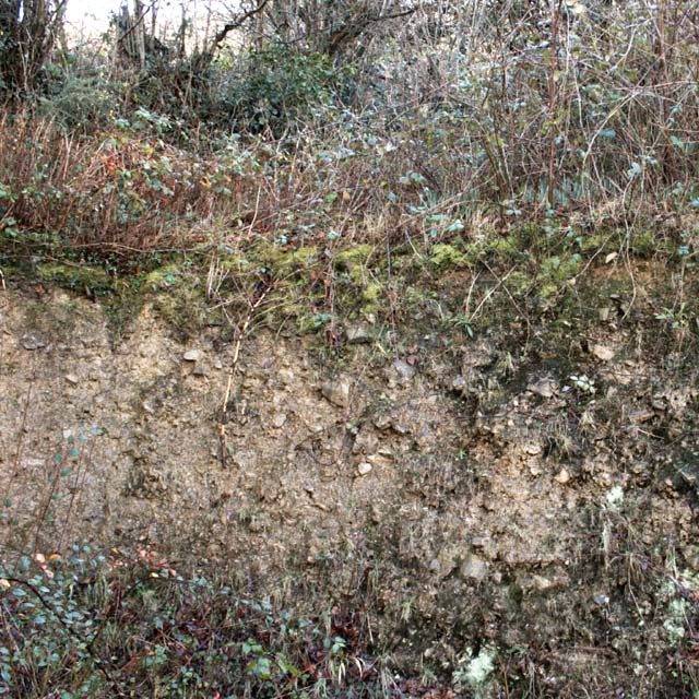
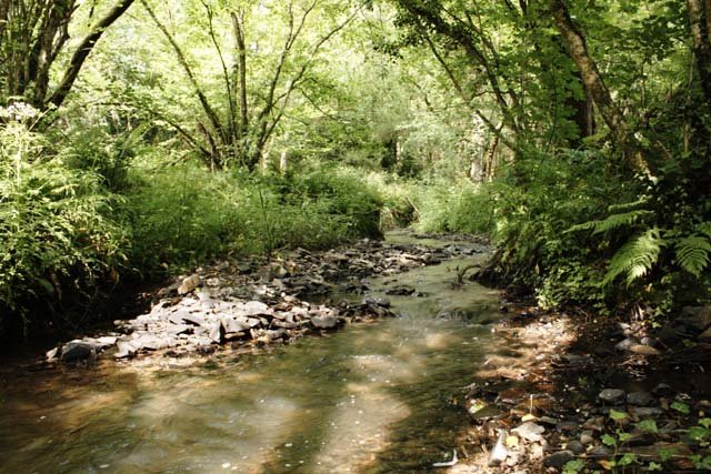
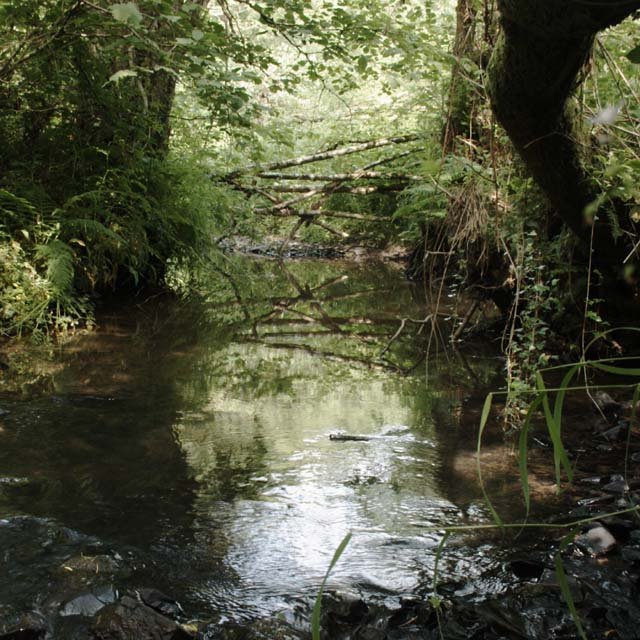
The moorland is characterized by its rolling hills, heather-covered slopes, and scattered granite tors, which create a captivating and dramatic scenery. The area is home to a diverse range of wildlife, including Dartmoor ponies, sheep, and various bird species. Nature enthusiasts can explore the numerous walking trails that crisscross the moor, providing opportunities to immerse themselves in the tranquility of the surroundings.

Paul's Moor also boasts historical significance, with ancient relics and archaeological sites scattered throughout the landscape. The area is dotted with prehistoric stone circles, burial mounds, and remnants of Bronze Age settlements, offering a glimpse into the region's rich history.

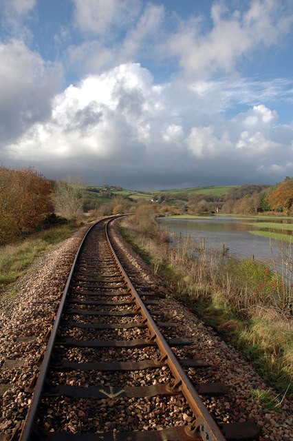
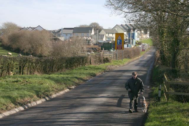
Visitors to Paul's Moor can indulge in a range of outdoor activities, including hiking, horse riding, and birdwatching. The moorland's vast expanse and open skies make it an ideal spot for stargazing and photography enthusiasts.

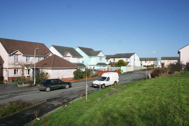
The nearby village of Paul's Moor provides amenities such as cozy pubs and charming bed and breakfast accommodations, allowing visitors to relax and unwind after a day of exploration. With its natural beauty and historical significance, Paul's Moor is a must-visit destination for nature lovers and history enthusiasts alike.

If you have any feedback on the listing, please let us know in the comments section below.
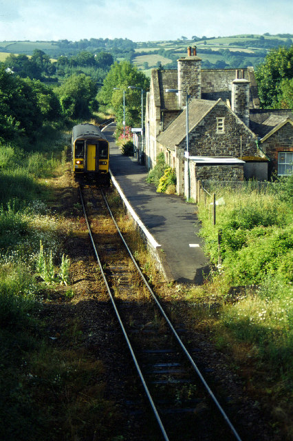
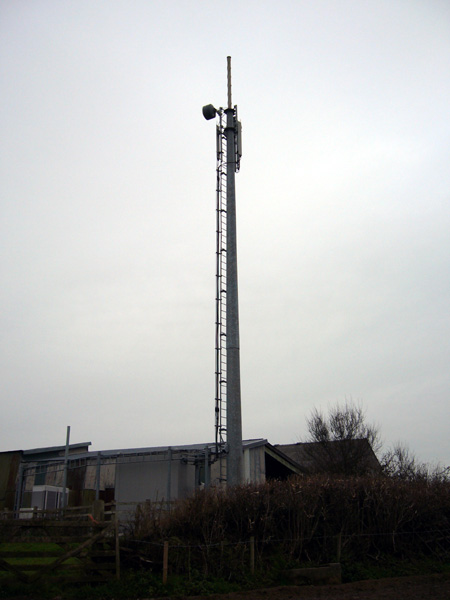
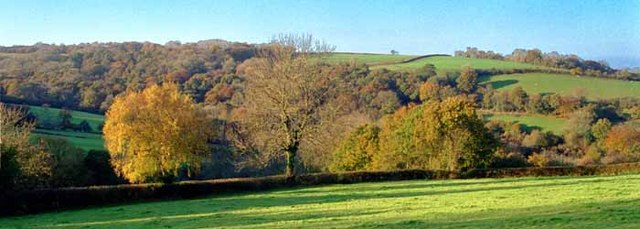
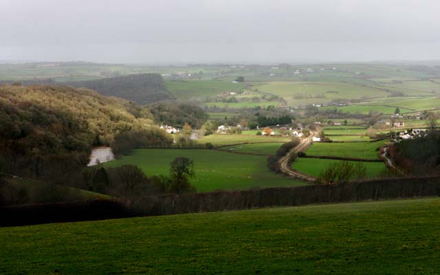
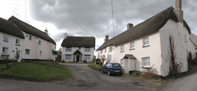
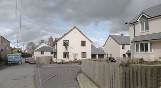
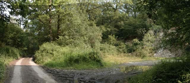
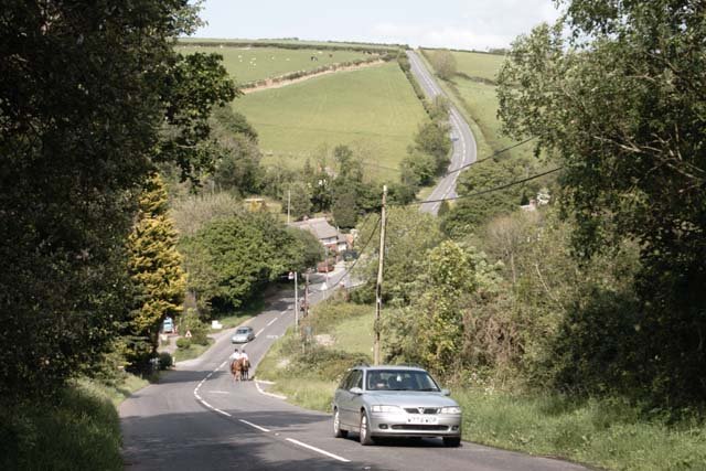
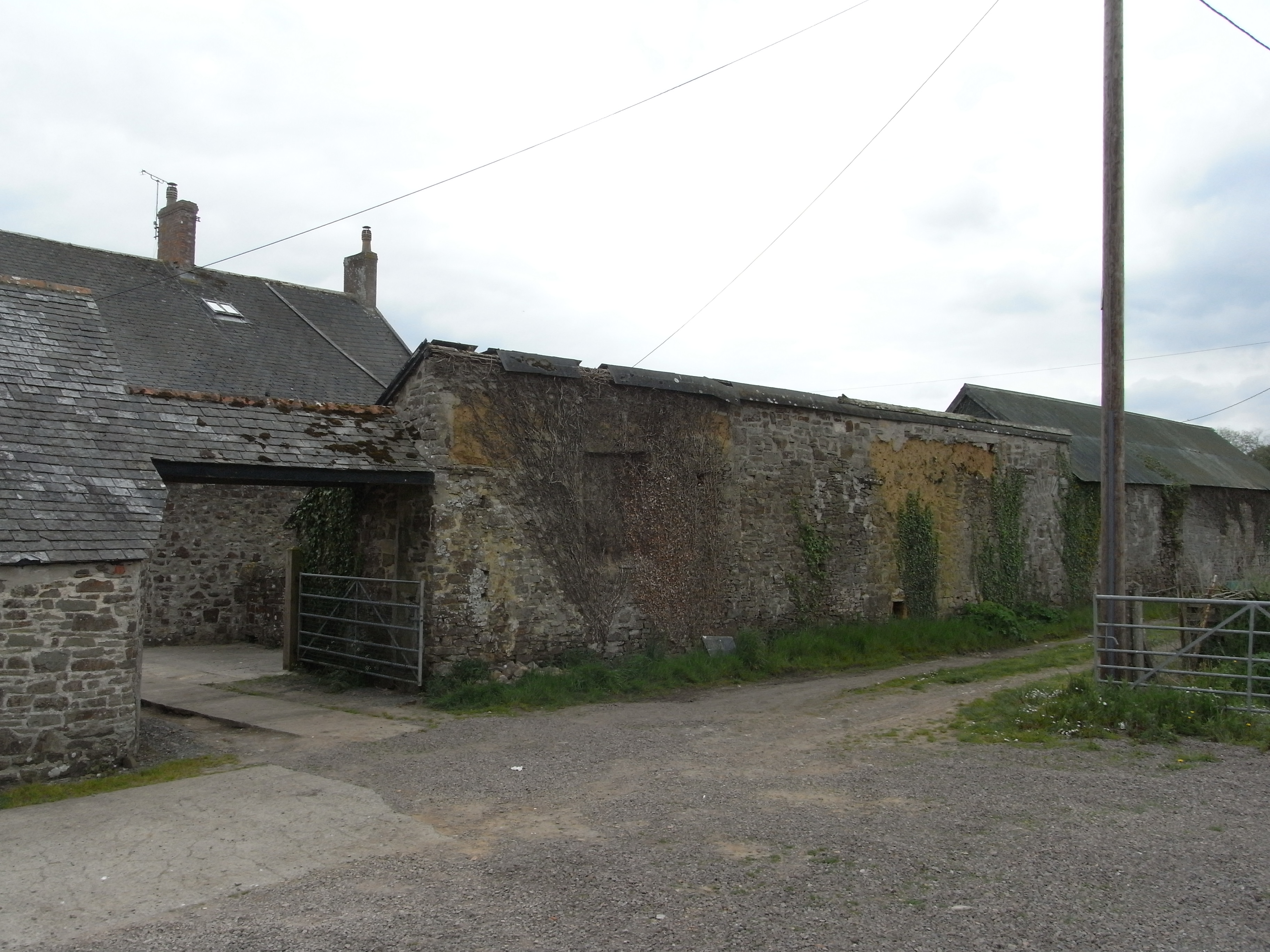
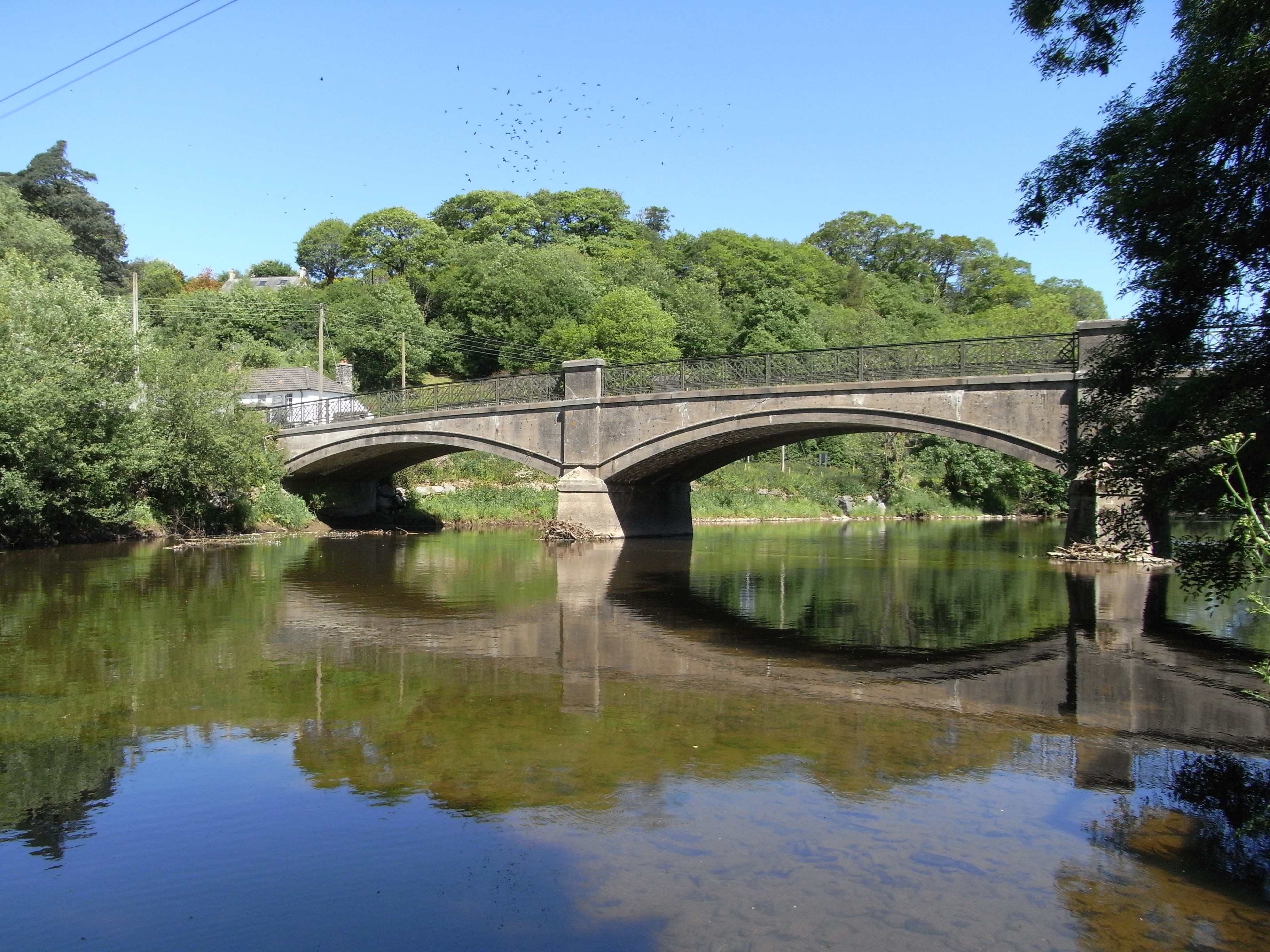
Paul's Moor Images

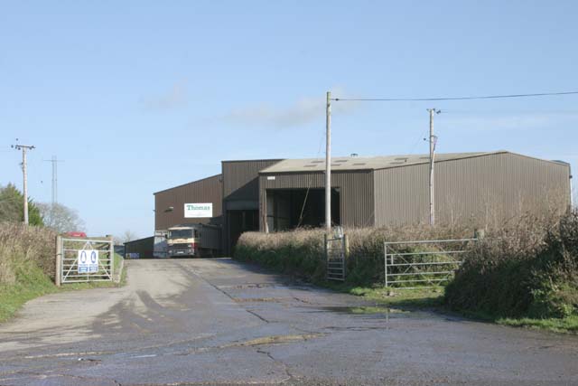
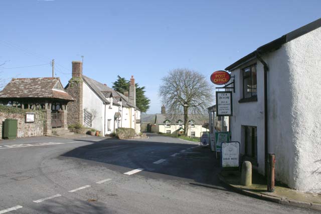
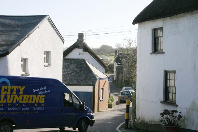
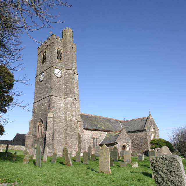
Images are sourced within 2km of 50.983909/-4.011533 or Grid Reference SS5822. Thanks to Geograph Open Source API. All images are credited.

Umberleigh Station An early morning train to Barnstaple calls at this rural halt.
Umberleigh Station
An early morning train to Barnstaple calls at this rural halt.
Mobile phone pole at Fisherton This mobile phone pole a site belonging to O2 with a joint T-Mobile installation on it stands on a small farm at Fisherton near to Atherington above the Taw Valley near Umberleigh.
There are good views south through the Taw Valley.
Mobile phone pole at Fisherton
This mobile phone pole a site belonging to O2 with a joint T-Mobile installation on it stands on a small farm at Fisherton near to Atherington above the Taw Valley near Umberleigh. There are good views south through the Taw Valley.
Autumn view from centre of grid square Grazing land on Devon Culm. Knapp Wood is on upper left, which is natural woodland.
Autumn view from centre of grid square
Grazing land on Devon Culm. Knapp Wood is on upper left, which is natural woodland.
Umberleigh Village in Taw Valley Umberleigh is a scattered village but it is also a postal district serving several other villages. This shot shows the geographical location between a steep wooded escarpment and alluvial land. The Taw is in spate on the left and the Tarka Line railway runs into the station centre right. It is served by the A377 which runs from Exeter to Barnstaple which is hidden in trees West of the river.
Umberleigh Village in Taw Valley
Umberleigh is a scattered village but it is also a postal district serving several other villages. This shot shows the geographical location between a steep wooded escarpment and alluvial land. The Taw is in spate on the left and the Tarka Line railway runs into the station centre right. It is served by the A377 which runs from Exeter to Barnstaple which is hidden in trees West of the river.
Devon Culm Subsoil This is what is under your feet in this part of Devon. The subsoil is very stony and well-drained with a thin but fertile topsoil with a high clay content. This bank was cut into a fairly steep hillside. Agriculturally, this type of land is mainly used for grazing or forestry.
Devon Culm Subsoil
This is what is under your feet in this part of Devon. The subsoil is very stony and well-drained with a thin but fertile topsoil with a high clay content. This bank was cut into a fairly steep hillside. Agriculturally, this type of land is mainly used for grazing or forestry.
Tarka Line to Barnstaple This is the Exeter to Barnstaple railway line heading north down the Taw valley through flooded fields
Tarka Line to Barnstaple
This is the Exeter to Barnstaple railway line heading north down the Taw valley through flooded fields
Housing Estate in High Bickington This is part of a housing estate built in the expansion which started in the 1970's.
Housing Estate in High Bickington
This is part of a housing estate built in the expansion which started in the 1970's.
New Housing Estate Fountains Field Housing Estate of 51 houses being built to the Northwest of High Bickinton off the B3217.
New Housing Estate
Fountains Field Housing Estate of 51 houses being built to the Northwest of High Bickinton off the B3217.
Thomas Grain Mill Local industry surrounded by grazing land and woodland.
Thomas Grain Mill
Local industry surrounded by grazing land and woodland.
Atherington Village and Post Office Atherington lies on a crossroads and has some very pretty buildings. It still has a Post Office and shop at the crossroads with a small car park.
Atherington Village and Post Office
Atherington lies on a crossroads and has some very pretty buildings. It still has a Post Office and shop at the crossroads with a small car park.
Traffic in Atherington This illustrates a problem shared by many rural villages. The roads were not built with modern traffic in mind. This is the B3217 beside Atherington Post Office which is part of the direct route between Winkleigh and Barnstaple and regularly carries large articulated lorries on single track roads like this. Photographs were taken of a large articulated lorry on this road which had to reverse to negotiate the corner, but this photograph was submitted instead as the lorry blocked out everything else.
Traffic in Atherington
This illustrates a problem shared by many rural villages. The roads were not built with modern traffic in mind. This is the B3217 beside Atherington Post Office which is part of the direct route between Winkleigh and Barnstaple and regularly carries large articulated lorries on single track roads like this. Photographs were taken of a large articulated lorry on this road which had to reverse to negotiate the corner, but this photograph was submitted instead as the lorry blocked out everything else.
St Mary's Church, Atherington St Mary's is easily recognised from a distance by the turret on its tower.
St Mary's Church, Atherington
St Mary's is easily recognised from a distance by the turret on its tower.
Traditional Houses in Atherington A group of thatched houses in the South of Atherington Village on the West side of the B3217.
Traditional Houses in Atherington
A group of thatched houses in the South of Atherington Village on the West side of the B3217.
Modern Houses in Atherington Recently built houses in the South of Atherington Village on the East side of the B3217. Note this image joins up exactly with "Traditional Houses in Atherington" to form a panorama either side of the B3217.
Modern Houses in Atherington
Recently built houses in the South of Atherington Village on the East side of the B3217. Note this image joins up exactly with "Traditional Houses in Atherington" to form a panorama either side of the B3217.
Small River near High Bickington This small river rises on the outskirts of High Bickington and eventually joins the Taw at Chapelton. The river bed is flat stones typical of the area.
Small River near High Bickington
This small river rises on the outskirts of High Bickington and eventually joins the Taw at Chapelton. The river bed is flat stones typical of the area.
Fallen Trees Fallen Birch trees undermined by the river in recent rainy weather. On the right is a branch of a larger tree fallen some time ago
Fallen Trees
Fallen Birch trees undermined by the river in recent rainy weather. On the right is a branch of a larger tree fallen some time ago
Small Disused Quarry This is an old disused quarry within the fork in the two roads. It is occasionally used for storage of stone but the original quarry face is well overgrown. (Panoramic photo)
Small Disused Quarry
This is an old disused quarry within the fork in the two roads. It is occasionally used for storage of stone but the original quarry face is well overgrown. (Panoramic photo)
Steep hill at Langridgeford The deepest of the valleys traversed by the B3227 which runs from Umberleigh to Great Torrington, passing through the hamlet of Langridgeford.
Steep hill at Langridgeford
The deepest of the valleys traversed by the B3227 which runs from Umberleigh to Great Torrington, passing through the hamlet of Langridgeford.
Show me another place!

Paul's Moor is located at Grid Ref: SS5822 (Lat: 50.983909, Lng: -4.011533)

Administrative County: Devon

District: North Devon

Police Authority: Devon and Cornwall

What 3 Words

///hike.hammer.scaffold. Near Great Torrington, Devon

Related Wikis

Atherington, Devon

Atherington is a village and civil parish in the North Devon district of Devon, England, about 8 miles south of Barnstaple. According to the 2001 census...

High Bickington

High Bickington is a rural village and civil parish in the Torridge district of Devon, England. The village lies on the B3217 road, around 6 miles (10...

Holy Trinity Chapel, Umberleigh

The Chapel of the Holy Trinity at Umberleigh is a ruinous mediaeval chapel in north Devon, England, largely demolished according to Lysons (1822) in about...

Umberleigh

Umberleigh is a former large manor within the historic hundred of (North) Tawton, but today a small village in North Devon in England. It used to be an...

Have you been to Paul's Moor?

Leave your review of Paul's Moor below (or comments, questions and feedback).