Brae of Balnabeen

Downs, Moorland in Ross-shire

Scotland

Brae of Balnabeen

Moorland edge The main road north, the A9, runs right by this beautiful piece of land.
Moorland edge Credit: David Maclennan

The requested URL returned error: 429 Too Many Requests

If you have any feedback on the listing, please let us know in the comments section below.

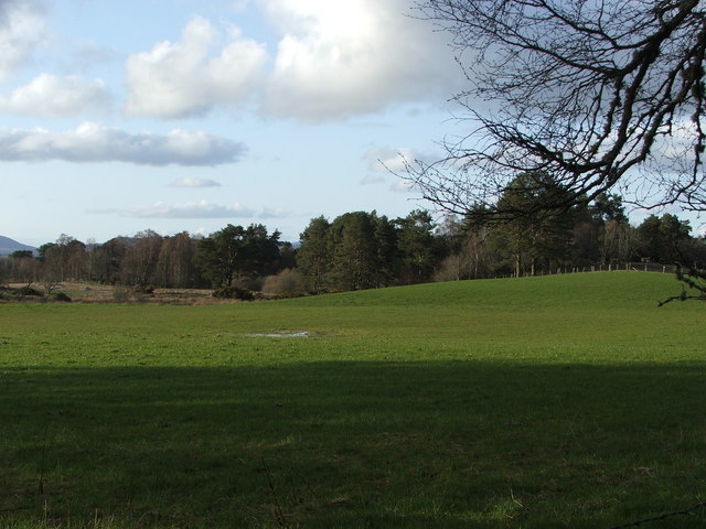
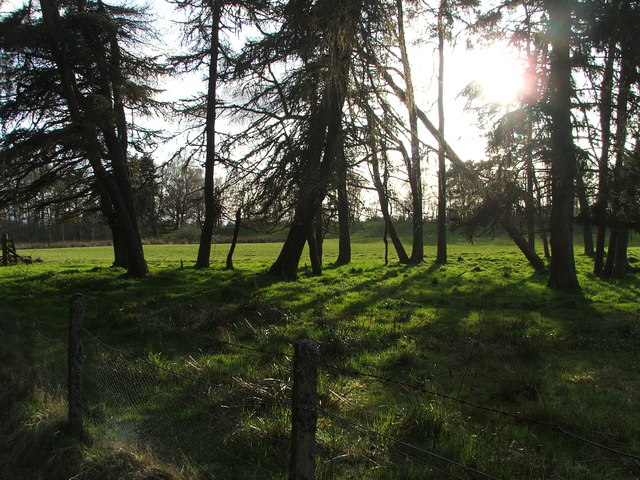
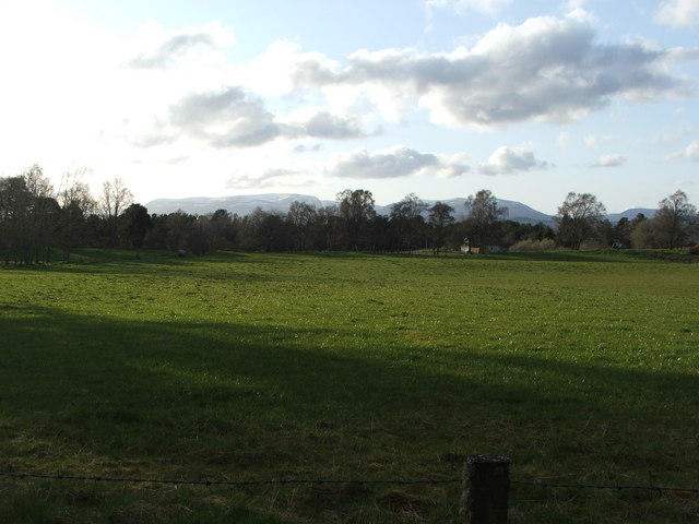
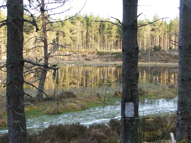
Brae of Balnabeen Images

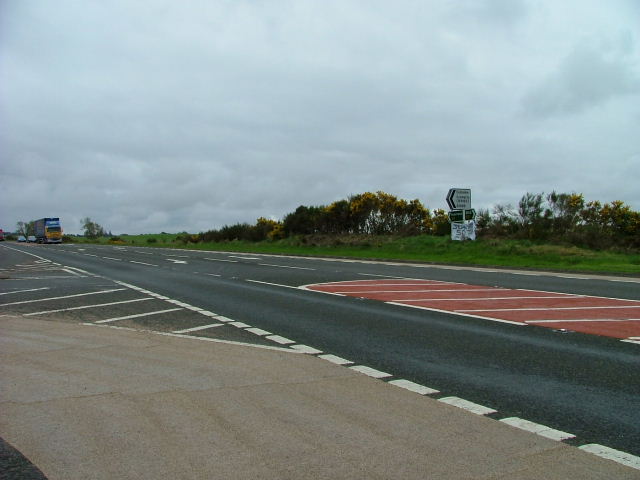
Images are sourced within 2km of 57.562085/-4.3599542 or Grid Reference NH5854. Thanks to Geograph Open Source API. All images are credited.

Moorland edge The main road north, the A9, runs right by this beautiful piece of land.
Moorland edge
The main road north, the A9, runs right by this beautiful piece of land.
Water reservoir
Water reservoir
Water reservoir entrance and farm track
Muddy forest track Looking into the gridsquare to the south. There are two gates on this track.
Muddy forest track
Looking into the gridsquare to the south. There are two gates on this track.
Farm road
Farm road
Forest track
Forest track
Forest track
Forest track
Road through Ross-shire countryside This is a lovely area fairly near the City of Inverness.  There is fishing available in this area and a rather nice little gift shop (which is where we had been).
Road through Ross-shire countryside
This is a lovely area fairly near the City of Inverness. There is fishing available in this area and a rather nice little gift shop (which is where we had been).
Kinkell House Hotel
Kinkell House Hotel
Croftland
Croftland
Croftland
Croftland
Croftland Croftland on this warm spring evening. Ben Wyvis can be seen in the background
Croftland
Croftland on this warm spring evening. Ben Wyvis can be seen in the background
Simon's Loch This loch is named after 3 local boys who drowned here in 1950. The note on the tree reminds us of this.
Simon's Loch
This loch is named after 3 local boys who drowned here in 1950. The note on the tree reminds us of this.
Simon's Loch Another reminder painted on this boulder beside Simon's Loch as to the dangers of water.
Simon's Loch
Another reminder painted on this boulder beside Simon's Loch as to the dangers of water.
Forestry access track Forestry access track through Monadh Mor
Forestry access track
Forestry access track through Monadh Mor
Timber stacks recent deforestation work leaves these timber stacks piled up ready to be collected.
Timber stacks
recent deforestation work leaves these timber stacks piled up ready to be collected.
Road Junction Junction of the A9 and the B9169 Culbokie road
Road Junction
Junction of the A9 and the B9169 Culbokie road
Along the A9 due East of Bogburn Farm.
Show me another place!

Brae of Balnabeen is located at Grid Ref: NH5854 (Lat: 57.562085, Lng: -4.3599542)

Unitary Authority: Highland

Police Authority: Highlands and Islands

What 3 Words

///revamping.king.path. Near Conon Bridge, Highland

Related Wikis

Easter Kinkell

Easter Kinkell is a rural village, in the parish of Urquhart and Logie Wester, in the area known as Black Isle, in the county of Ross-shire, Scottish Highlands...

Urquhart and Logie Wester

Urquhart and Logie Wester is a parish within the county of Ross and Cromarty, Scotland. It is situated in the area known as the Black Isle and is in the...

Newton of Kinkell

Newton of Kinkell is a scattered crofting township, along with Newton of Ferintosh in Dingwall, Black Isle, Ross-shire, Scottish Highlands and is in the...

Newton of Ferintosh

Newton of Ferintosh is a scattered crofting township on the Black Isle in the Highland council area of Scotland. It is between the villages of Tore and...

Nearby Amenities

Located within 500m of 57.562085,-4.3599542
Power: pole
Lat/Long: 57.5585847/-4.3608503
Power: pole
Lat/Long: 57.558637/-4.3612865
Power: pole
Lat/Long: 57.558761/-4.3623052
Power: pole
Lat/Long: 57.5588764/-4.3631656
Power: pole
Lat/Long: 57.5589145/-4.3642553
Power: pole
Lat/Long: 57.5589396/-4.3654099
Power: pole
Lat/Long: 57.5580306/-4.3611425
Power: pole
Lat/Long: 57.5591845/-4.3605479
Power: pole
Lat/Long: 57.5597483/-4.3602557
Power: pole
Lat/Long: 57.5604069/-4.3601258
Power: pole
Lat/Long: 57.5610785/-4.3600081
Power: pole
Lat/Long: 57.5617729/-4.3598722
Power: pole
Lat/Long: 57.5623977/-4.3597545
Power: pole
Lat/Long: 57.5630485/-4.3596287
Power: pole
Lat/Long: 57.5636276/-4.3602699
Power: pole
Lat/Long: 57.564187/-4.360903
Power: pole
Lat/Long: 57.5647029/-4.3614753
Power: pole
Lat/Long: 57.56521/-4.362222
Power: pole
Lat/Long: 57.5656106/-4.3627983
Power: pole
Lat/Long: 57.5660655/-4.3634598
Power: pole
Lat/Long: 57.5623737/-4.3677678
Power: pole
Lat/Long: 57.5626828/-4.3665584
Power: pole
Lat/Long: 57.562734/-4.3655885
Power: pole
Lat/Long: 57.5627928/-4.3644643
Power: pole
Lat/Long: 57.5629506/-4.3636222
Power: pole
Lat/Long: 57.5629092/-4.3623965
Power: pole
Lat/Long: 57.56298/-4.361177
Power: pole
Lat/Long: 57.56335/-4.3581514
Power: pole
Lat/Long: 57.5637625/-4.3570536
Power: pole
Lat/Long: 57.5643176/-4.3562805
Power: pole
Lat/Long: 57.5648661/-4.3555094
Power: pole
Lat/Long: 57.5650609/-4.3552639
Power: pole
Lat/Long: 57.5655681/-4.3546997
The data included in this document is from www.openstreetmap.org. The data is made available under ODbL.

Have you been to Brae of Balnabeen?

Leave your review of Brae of Balnabeen below (or comments, questions and feedback).