Boreat Moor

Downs, Moorland in Devon North Devon

England

Boreat Moor

Track on Shuteley Farm
Track on Shuteley Farm Credit: Roger Cornfoot

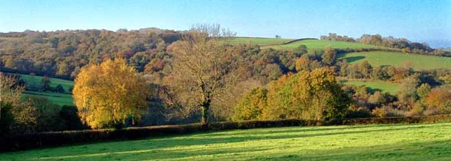
Boreat Moor is a picturesque area located in Devon, England. It is situated in the southern part of the county, specifically in the region known as the Devon Downs. The Moor is known for its stunning natural beauty and diverse ecosystem, making it a popular destination for nature enthusiasts and hikers.

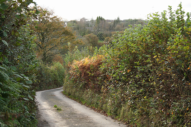
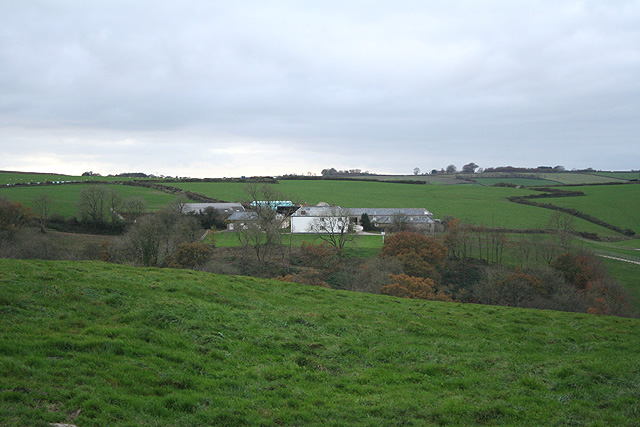
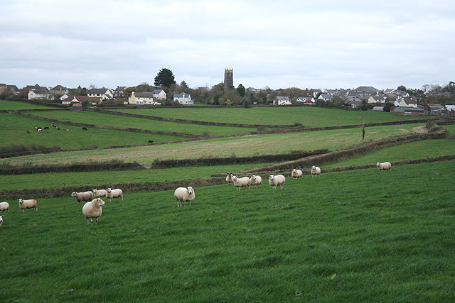
Covering an expansive area, Boreat Moor is characterized by its rolling hills, vast meadows, and expansive heathland. The landscape is dotted with a variety of plant species, including heather, gorse, and grasses, creating a vibrant and colorful scenery. The Moor is also home to several species of birds, such as skylarks and meadow pipits, which can be spotted soaring through the sky.

The area is intersected by several walking trails and footpaths, allowing visitors to explore the Moor and take in its breathtaking views. These trails offer a chance to immerse oneself in the tranquility and serenity of the surroundings, as well as providing opportunities for wildlife spotting. Boreat Moor is also a popular spot for picnics and outdoor activities, with its open spaces providing ample room for recreational pursuits.

In addition to its natural beauty, Boreat Moor holds historical significance. It is believed that the Moor has been inhabited for centuries, with evidence of Bronze Age settlements and burial mounds discovered in the area. These remnants serve as a reminder of the rich cultural heritage that Boreat Moor possesses.

Overall, Boreat Moor in Devon is a captivating and idyllic location, offering visitors a chance to connect with nature, experience stunning landscapes, and delve into the region's fascinating history.

If you have any feedback on the listing, please let us know in the comments section below.
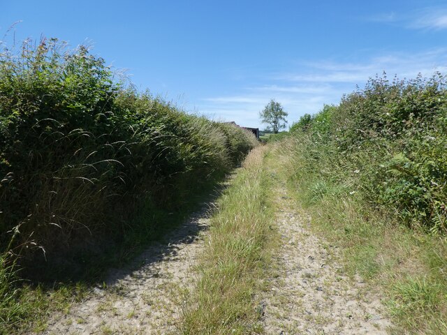
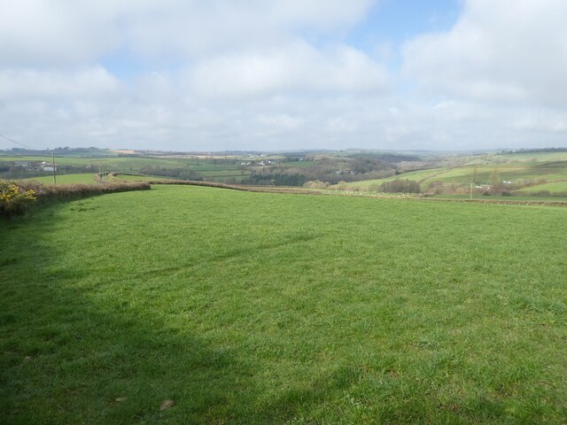
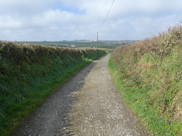
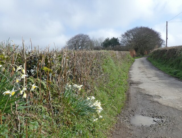
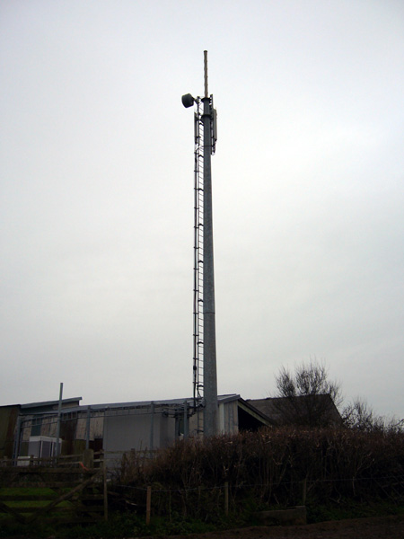
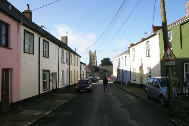
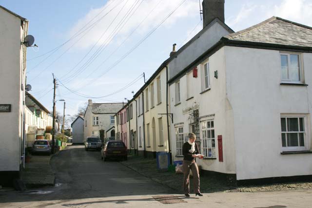
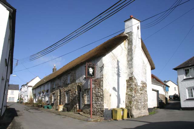
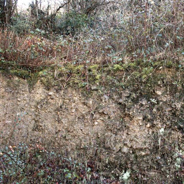
Boreat Moor Images

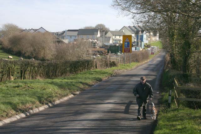
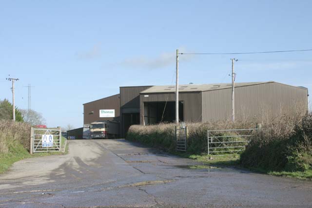
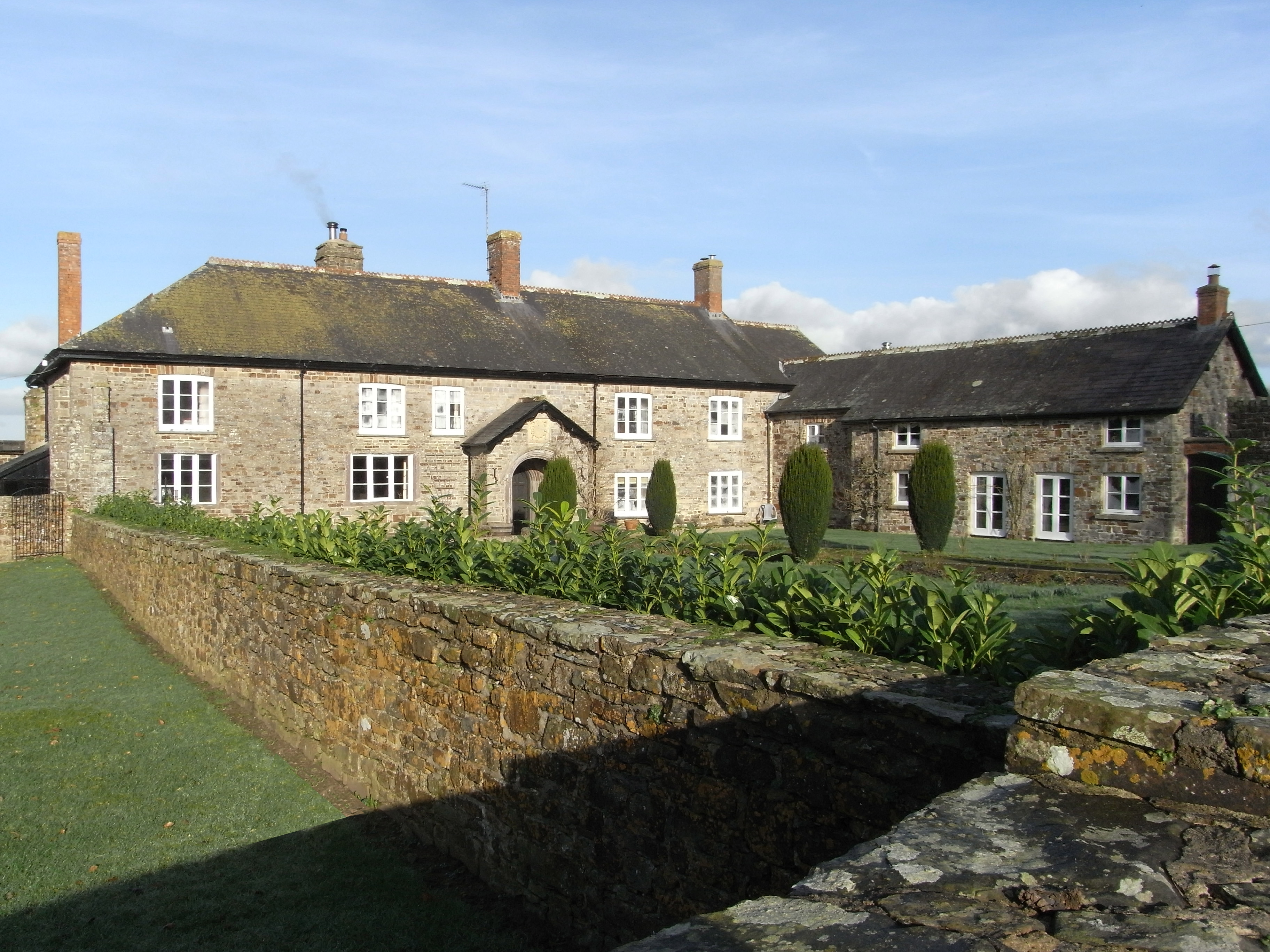
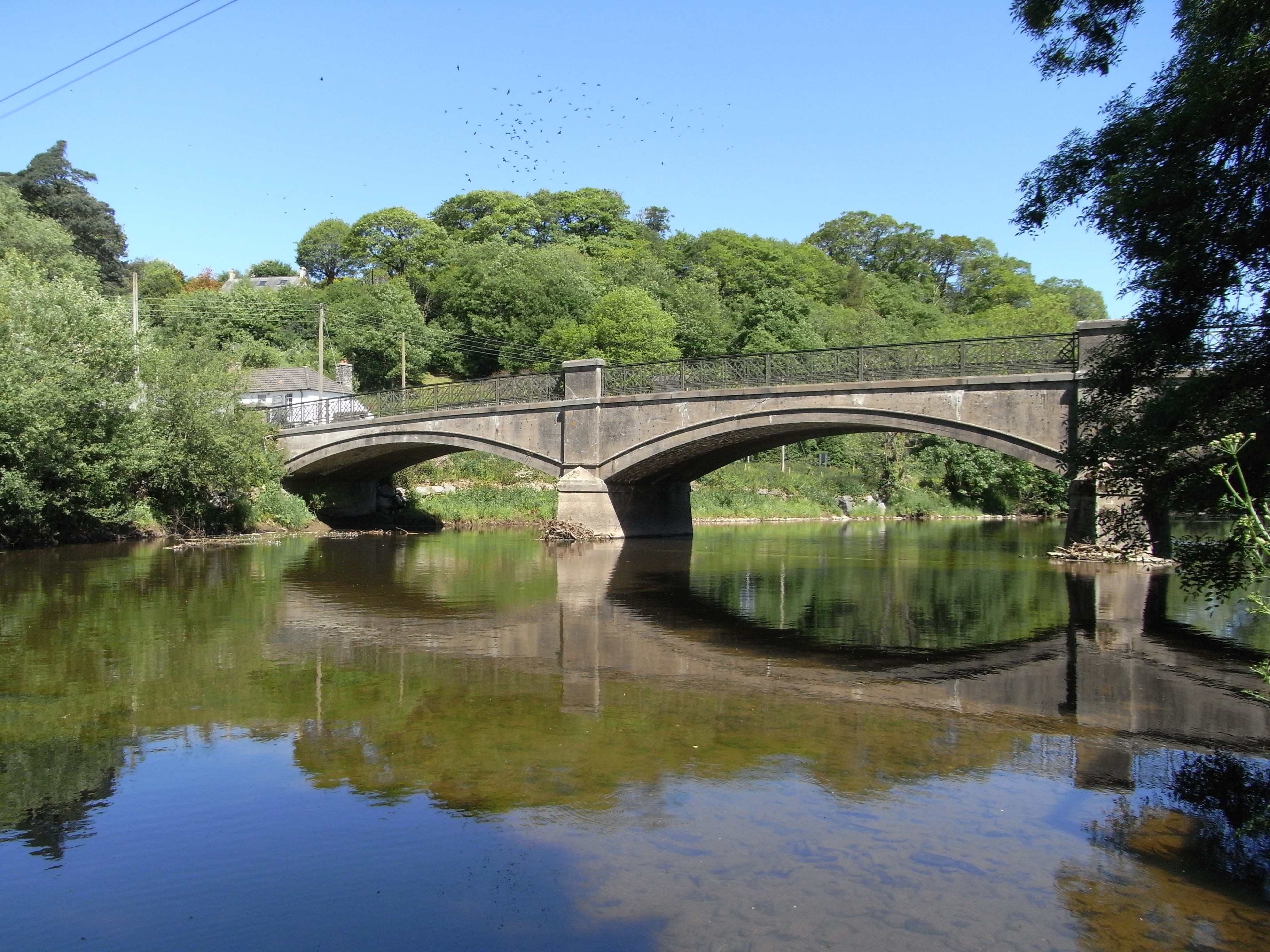
Images are sourced within 2km of 50.977174/-4.0114556 or Grid Reference SS5821. Thanks to Geograph Open Source API. All images are credited.

Track on Shuteley Farm
Pasture, south of High Bickington
Quarries Lane
Quarries Lane
Quarries Lane
Quarries Lane
Mobile phone pole at Fisherton This mobile phone pole a site belonging to O2 with a joint T-Mobile installation on it stands on a small farm at Fisherton near to Atherington above the Taw Valley near Umberleigh.
There are good views south through the Taw Valley.
Mobile phone pole at Fisherton
This mobile phone pole a site belonging to O2 with a joint T-Mobile installation on it stands on a small farm at Fisherton near to Atherington above the Taw Valley near Umberleigh. There are good views south through the Taw Valley.
Autumn view from centre of grid square Grazing land on Devon Culm. Knapp Wood is on upper left, which is natural woodland.
Autumn view from centre of grid square
Grazing land on Devon Culm. Knapp Wood is on upper left, which is natural woodland.
High Bickington High Street Looking down the High Street towards the Village School. Behind is the Church which is in Grid square SS5920
High Bickington High Street
Looking down the High Street towards the Village School. Behind is the Church which is in Grid square SS5920
High Bickington High Street and Post Office The Post Office on the corner also sells groceries since the Village Shop closed. The SS60 grid line passes at this point.
High Bickington High Street and Post Office
The Post Office on the corner also sells groceries since the Village Shop closed. The SS60 grid line passes at this point.
The Old George Inn Dating from the 16th Century, The Old George Inn in Poplar Terrace is one of two pubs in High Bickington. The 1Km Grid line runs down this road.
The Old George Inn
Dating from the 16th Century, The Old George Inn in Poplar Terrace is one of two pubs in High Bickington. The 1Km Grid line runs down this road.
Devon Culm Subsoil This is what is under your feet in this part of Devon. The subsoil is very stony and well-drained with a thin but fertile topsoil with a high clay content. This bank was cut into a fairly steep hillside. Agriculturally, this type of land is mainly used for grazing or forestry.
Devon Culm Subsoil
This is what is under your feet in this part of Devon. The subsoil is very stony and well-drained with a thin but fertile topsoil with a high clay content. This bank was cut into a fairly steep hillside. Agriculturally, this type of land is mainly used for grazing or forestry.
High Bickington: lane near Shuteley
High Bickington: towards Vauterhill Stud Vauterhill is now a stud farm. Seen from an old track to Quicks
High Bickington: towards Vauterhill Stud
Vauterhill is now a stud farm. Seen from an old track to Quicks
High Bickington: towards the village Seen from an old lane to Quicks
High Bickington: towards the village
Seen from an old lane to Quicks
Cottage, High Bickington This attractive listed cottage stands at the junction of North Road (the B3217, right) with the High Street, also seen in <a href="https://www.geograph.org.uk/photo/338205">SS6020 : High Bickington High Street</a>. Howards is described at <span class="nowrap"><a title="https://www.historicengland.org.uk/listing/the-list/list-entry/1326599" rel="nofollow ugc noopener" href="https://www.historicengland.org.uk/listing/the-list/list-entry/1326599">Link</a><img style="margin-left:2px;" alt="External link" title="External link - shift click to open in new window" src="https://s1.geograph.org.uk/img/external.png" width="10" height="10"/></span> .
Cottage, High Bickington
This attractive listed cottage stands at the junction of North Road (the B3217, right) with the High Street, also seen in SS6020 : High Bickington High Street. Howards is described at LinkExternal link .
High Bickington Church St Mary's Church, High Bickington, dates from the 12th Century and has interesting pew-ends. There is an active PCC and an associated Primary School.
High Bickington Church
St Mary's Church, High Bickington, dates from the 12th Century and has interesting pew-ends. There is an active PCC and an associated Primary School.
Housing Estate in High Bickington This is part of a housing estate built in the expansion which started in the 1970's.
Housing Estate in High Bickington
This is part of a housing estate built in the expansion which started in the 1970's.
New Housing Estate Fountains Field Housing Estate of 51 houses being built to the Northwest of High Bickinton off the B3217.
New Housing Estate
Fountains Field Housing Estate of 51 houses being built to the Northwest of High Bickinton off the B3217.
Thomas Grain Mill Local industry surrounded by grazing land and woodland.
Thomas Grain Mill
Local industry surrounded by grazing land and woodland.
Show me another place!

Boreat Moor is located at Grid Ref: SS5821 (Lat: 50.977174, Lng: -4.0114556)

Administrative County: Devon

District: North Devon

Police Authority: Devon and Cornwall

What 3 Words

///strutted.manifests.outs. Near Great Torrington, Devon

Related Wikis

High Bickington

High Bickington is a rural village and civil parish in the Torridge district of Devon, England. The village lies on the B3217 road, around 6 miles (10...

Atherington, Devon

Atherington is a village and civil parish in the North Devon district of Devon, England, about 8 miles south of Barnstaple. According to the 2001 census...

Brightley, Chittlehampton

Brightley was historically the principal secondary estate within the parish and former manor of Chittlehampton in the county of Devon, England, situated...

Umberleigh

Umberleigh is a former large manor within the historic hundred of (North) Tawton, but today a small village in North Devon in England. It used to be an...

Nearby Amenities

Located within 500m of 50.977174,-4.0114556
Power: pole
Source: bing
Lat/Long: 50.973589/-4.0157323
Power: pole
Source: bing
Lat/Long: 50.9735873/-4.0143174
Power: pole
Source: bing
Transformer: distribution
Lat/Long: 50.9733686/-4.0127952
Power: pole
Source: bing
Lat/Long: 50.9732664/-4.0114233
Power: pole
Source: bing
Lat/Long: 50.9731482/-4.0099695
Power: pole
Source: bing
Lat/Long: 50.9735282/-4.0087599
Power: pole
Source: bing
Lat/Long: 50.9737875/-4.0079203
Power: pole
Source: bing
Lat/Long: 50.9740957/-4.0069292
The data included in this document is from www.openstreetmap.org. The data is made available under ODbL.

Have you been to Boreat Moor?

Leave your review of Boreat Moor below (or comments, questions and feedback).