Ford Down
Downs, Moorland in Devon North Devon
England
Ford Down
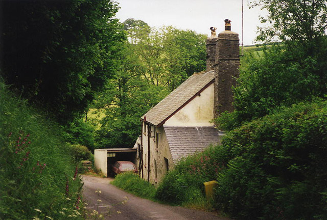
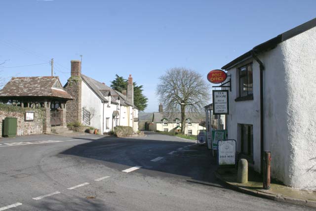
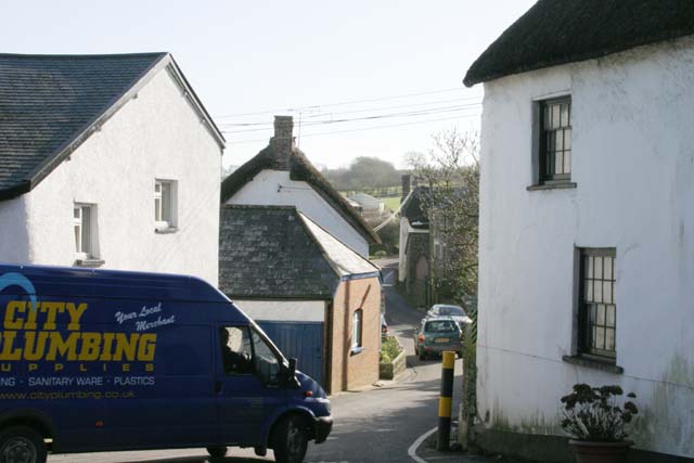
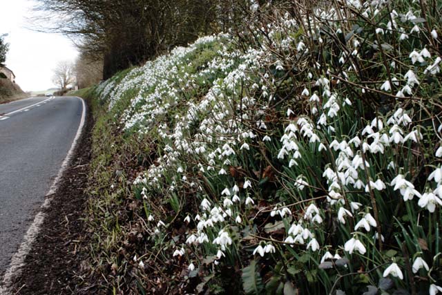
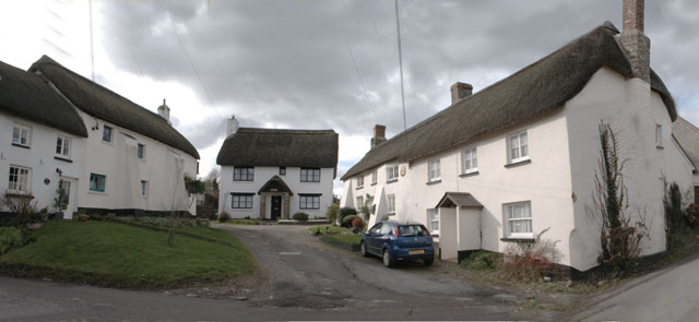
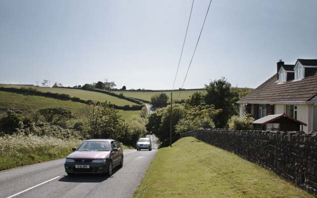
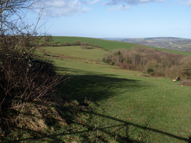
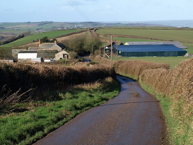
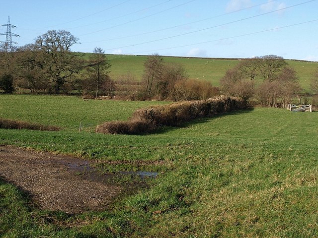
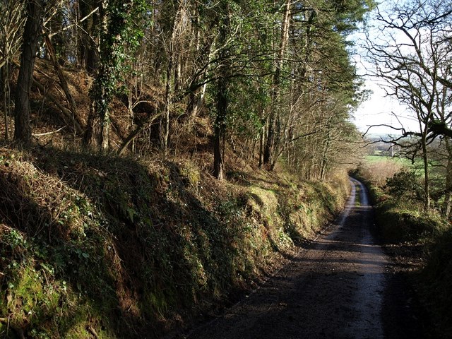
Ford Down, Devon, also known as Downs or Moorland, is a picturesque area located in the county of Devon, England. This stunning expanse of land is characterized by rolling hills, lush green pastures, and breathtaking views of the surrounding countryside.
Covering an area of approximately 500 acres, Ford Down is home to a diverse range of flora and fauna, making it a haven for nature enthusiasts and wildlife lovers. The landscape is dotted with ancient woodlands, glistening streams, and tranquil ponds, creating a serene and peaceful atmosphere.
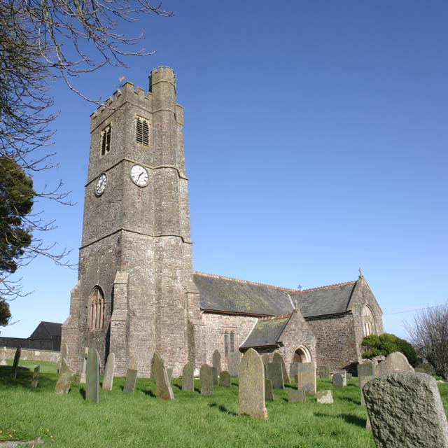
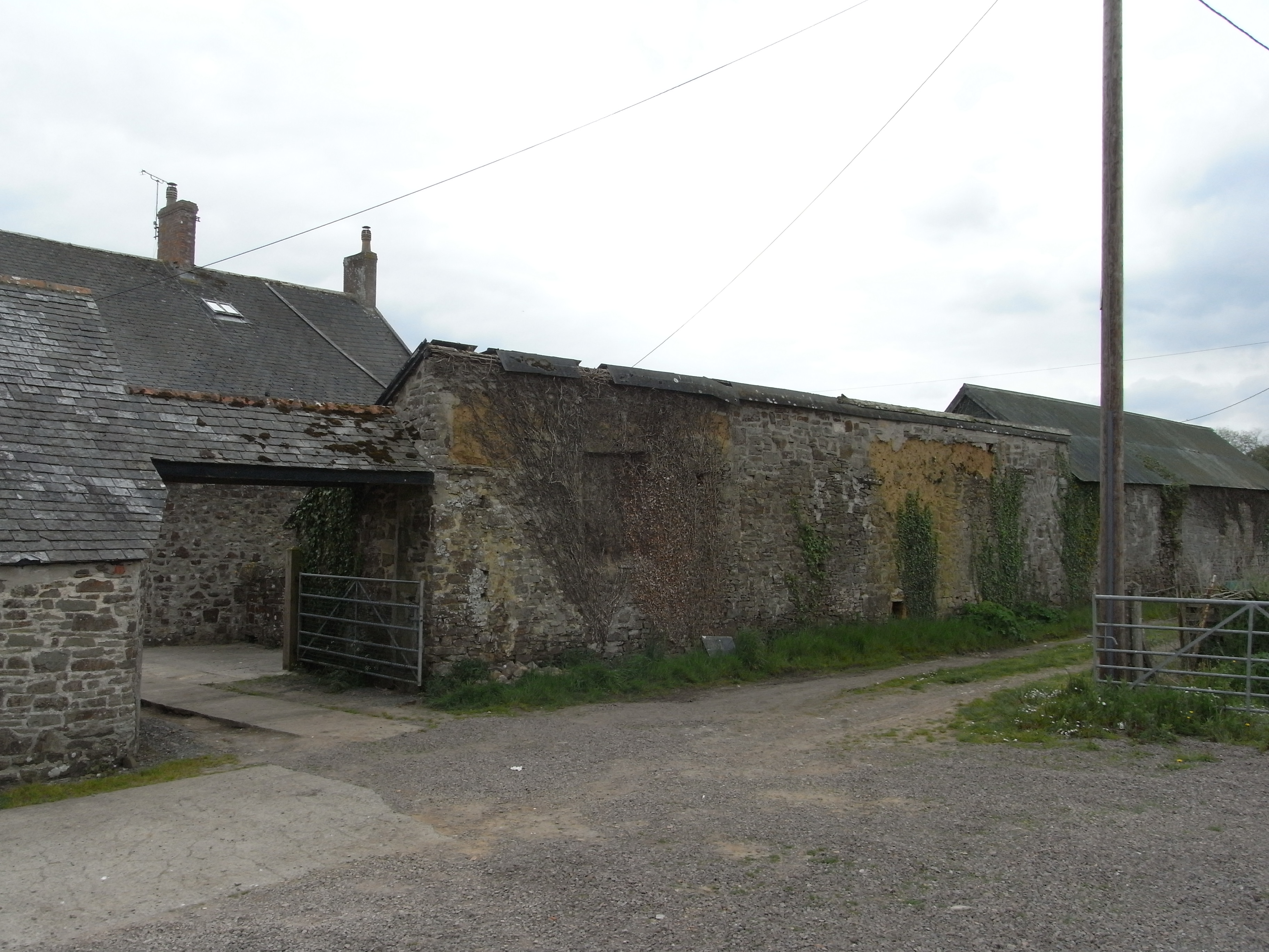
The area is renowned for its rich history, with evidence of settlements dating back to the Bronze Age. Archaeological discoveries have uncovered ancient burial mounds and stone circles, adding to the area's mystique and allure.
Ford Down offers a plethora of outdoor activities for visitors to enjoy. The expansive open spaces are perfect for leisurely walks, horse riding, or picnicking, offering a chance to reconnect with nature. The area is also a popular destination for birdwatching, with a wide variety of species calling Ford Down their home.
For those seeking a more adventurous experience, Ford Down provides opportunities for hiking and mountain biking, with numerous trails crisscrossing the landscape. The rugged terrain and undulating hills offer a challenging yet rewarding experience for outdoor enthusiasts.
Overall, Ford Down, Devon, is a hidden gem in the heart of the English countryside. Its natural beauty, rich history, and abundance of outdoor activities make it an ideal destination for those seeking tranquility and a connection with nature.
If you have any feedback on the listing, please let us know in the comments section below.
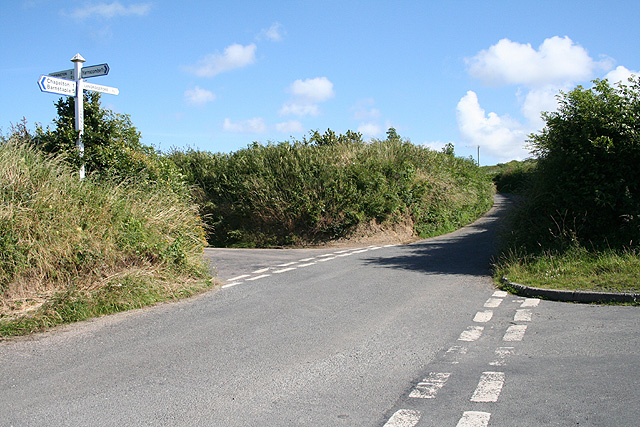
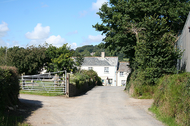
Ford Down Images
Images are sourced within 2km of 51.003693/-4.0199149 or Grid Reference SS5824. Thanks to Geograph Open Source API. All images are credited.
Ford Down is located at Grid Ref: SS5824 (Lat: 51.003693, Lng: -4.0199149)
Administrative County: Devon
District: North Devon
Police Authority: Devon and Cornwall
What 3 Words
///learning.segmented.food. Near Barnstaple, Devon
Nearby Locations
Related Wikis

Chapelton, Devon
Chapelton is a hamlet in Devon. It is located in the civil parish of Tawstock. The hamlet is served by the Chapelton railway station. == References ==
Holy Trinity Chapel, Umberleigh
The Chapel of the Holy Trinity at Umberleigh is a ruinous mediaeval chapel in north Devon, England, largely demolished according to Lysons (1822) in about...

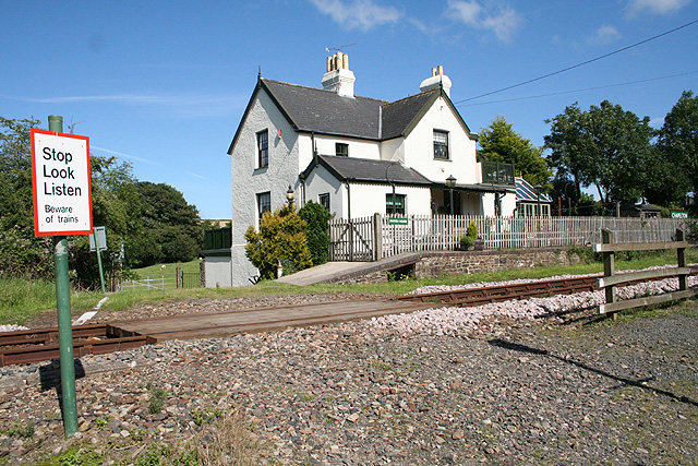
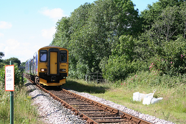
Chapelton railway station
Chapelton railway station serves the hamlet of Chapelton, part of the civil parish of Tawstock in the English county of Devon. It is a rural station on...

Atherington, Devon
Atherington is a village and civil parish in the North Devon district of Devon, England, about 8 miles south of Barnstaple. According to the 2001 census...
Nearby Amenities
Located within 500m of 51.003693,-4.0199149Have you been to Ford Down?
Leave your review of Ford Down below (or comments, questions and feedback).