Grange Muir
Downs, Moorland in Ayrshire
Scotland
Grange Muir

Grange Muir is a picturesque area located in Ayrshire, Scotland. Situated amidst the rolling hills and vast moorlands, it offers a stunning natural landscape that captivates visitors and locals alike. The region is renowned for its tranquil atmosphere and scenic beauty, making it a popular destination for nature enthusiasts and those seeking a peaceful retreat.
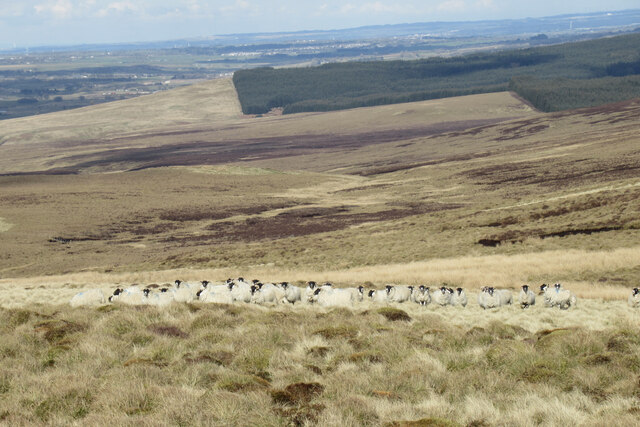
Covering a vast expanse of land, Grange Muir is characterized by its diverse ecosystem. The area is home to an array of plant and animal species, creating a rich biodiversity that adds to its allure. Visitors can expect to encounter a variety of flowering plants, heather, and mosses, as well as an abundance of wildlife including birds, rabbits, and deer.
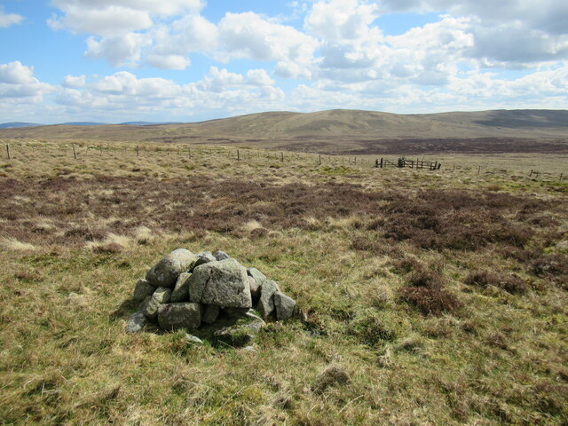
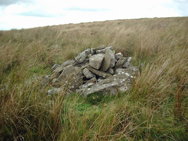
The terrain of Grange Muir is predominantly composed of downs and moorland, with undulating hills and expansive stretches of open space. The downs offer sweeping panoramic views of the surrounding countryside, while the moorland provides a unique and distinctive landscape with its heather-covered expanses.
Hikers and nature lovers will find plenty of opportunities to explore the area's numerous walking trails and enjoy the breathtaking vistas. The tranquility of Grange Muir makes it an ideal spot for birdwatching, photography, and simply immersing oneself in the beauty of nature.
In addition to its natural wonders, Grange Muir is also home to some historical landmarks and sites of interest. These include ancient burial grounds and ruins that provide glimpses into the region's rich history.
Overall, Grange Muir in Ayrshire offers a captivating blend of natural beauty, tranquility, and historical significance, making it a must-visit destination for those eager to experience the enchanting landscapes of Scotland.
If you have any feedback on the listing, please let us know in the comments section below.
Grange Muir Images
Images are sourced within 2km of 55.557038/-4.2475397 or Grid Reference NS5831. Thanks to Geograph Open Source API. All images are credited.


Grange Muir is located at Grid Ref: NS5831 (Lat: 55.557038, Lng: -4.2475397)
Unitary Authority: East Ayrshire
Police Authority: Ayrshire
What 3 Words
///national.perfected.handyman. Near Darvel, East Ayrshire
Nearby Locations
Related Wikis
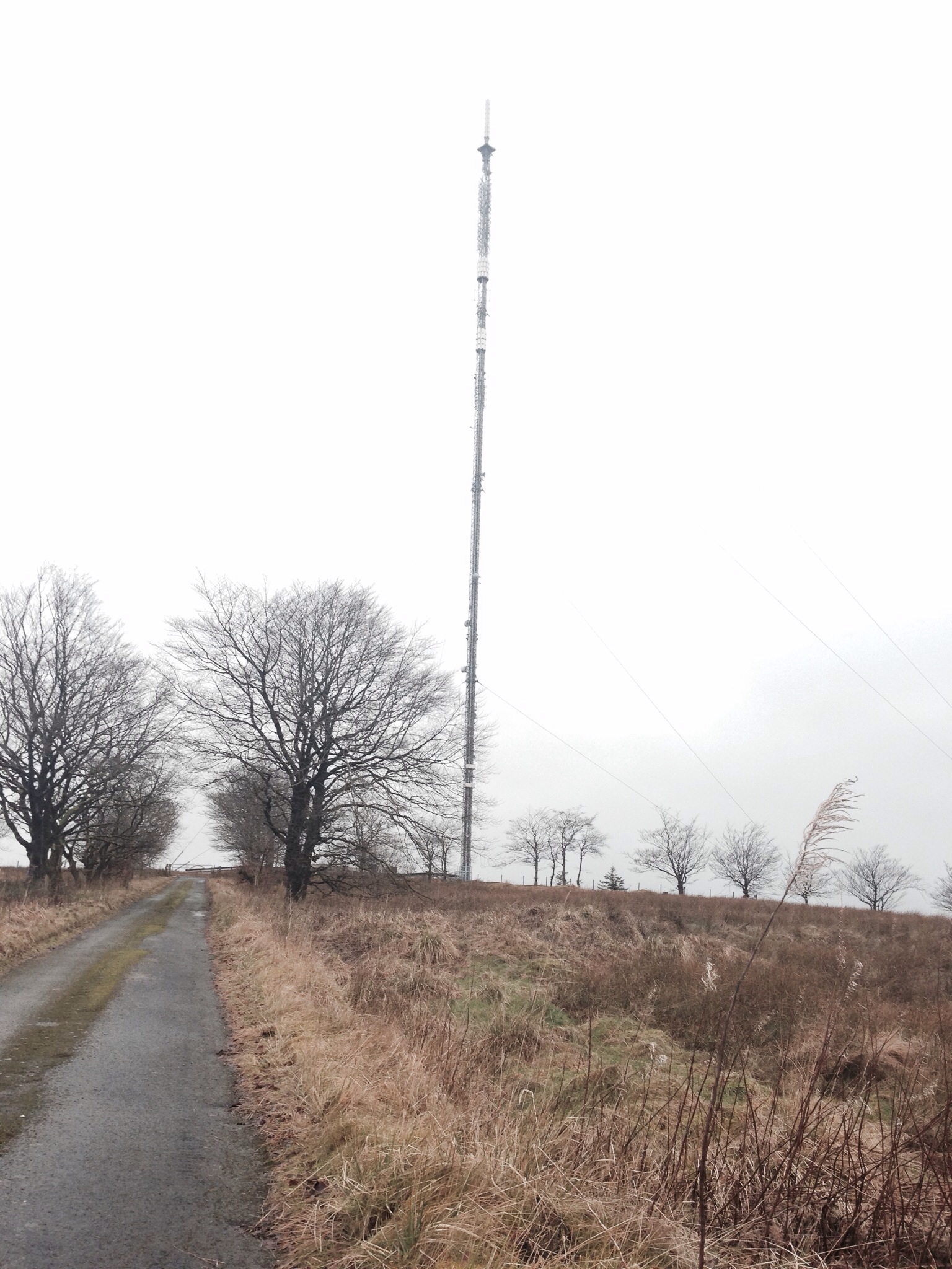
Darvel transmitting station
Darvel transmitting station is a broadcasting and telecommunications facility located near Darvel, East Ayrshire, Scotland (grid reference NS5567234132...
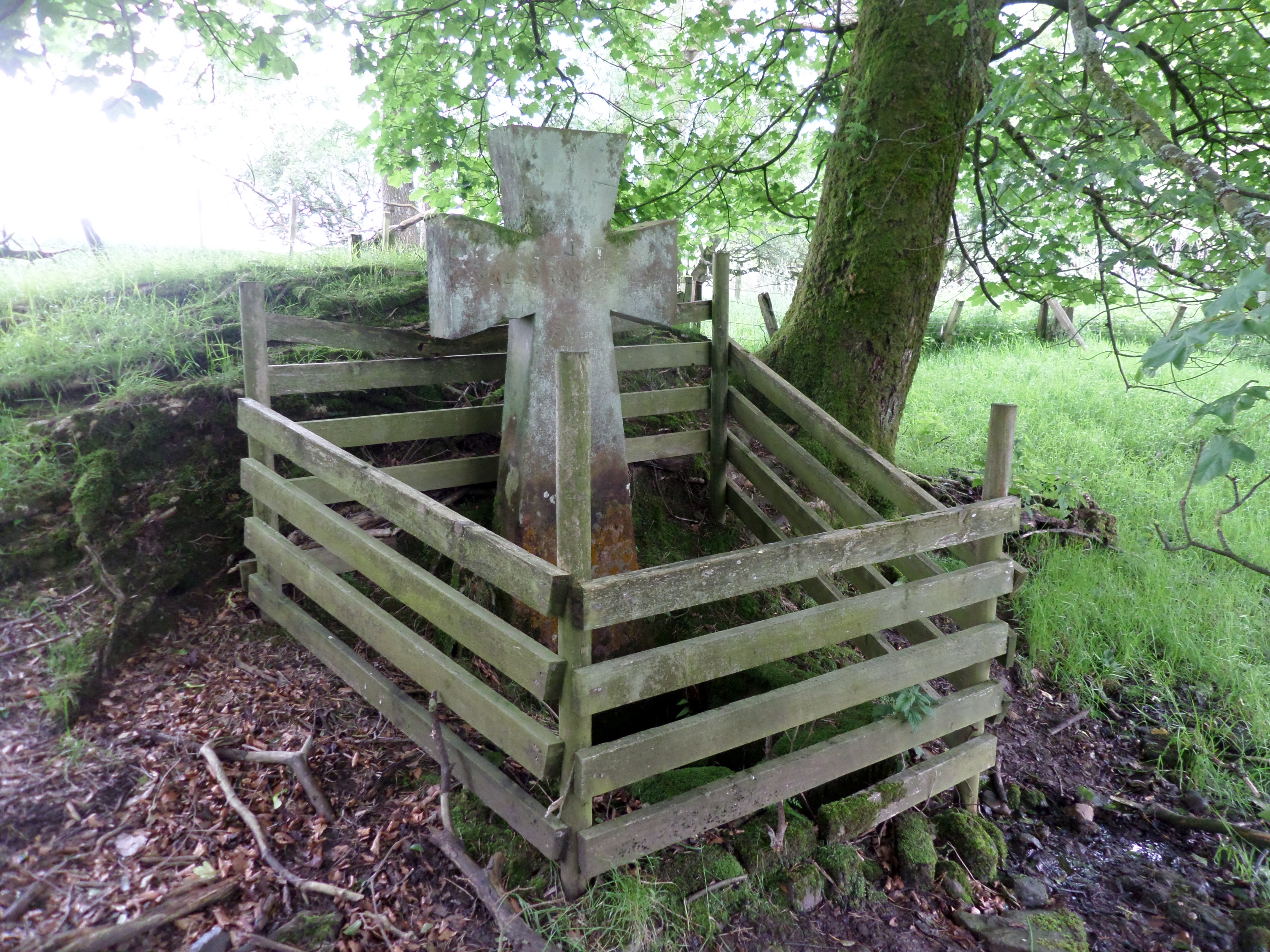
Lady's Well, Auchmannoch
The Lady's Well is a natural spring surmounted by a large cross that stands beside the Stra Burn Ford (NS254630) near Auchmannoch House in the Parish of...

Kilmarnock and Loudoun (UK Parliament constituency)
Kilmarnock and Loudoun is a county constituency of the House of Commons of the Parliament of the United Kingdom. It elects one Member of Parliament (MP...

Garpel Linn
Garpel Linn is a waterfall of Scotland. == See also == Waterfalls of Scotland == References ==
Nearby Amenities
Located within 500m of 55.557038,-4.2475397Have you been to Grange Muir?
Leave your review of Grange Muir below (or comments, questions and feedback).