Black Down
Downs, Moorland in Devon West Devon
England
Black Down
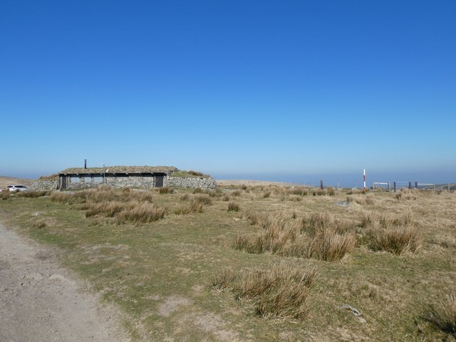
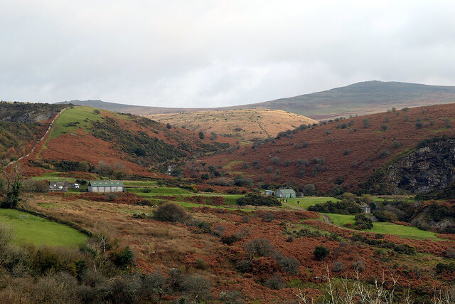
Black Down is a prominent hill located in Devon, England. It forms part of the Blackdown Hills, a designated Area of Outstanding Natural Beauty. With an elevation of 315 meters (1,033 feet), it is the highest point in the county of Devon.
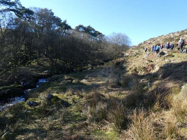
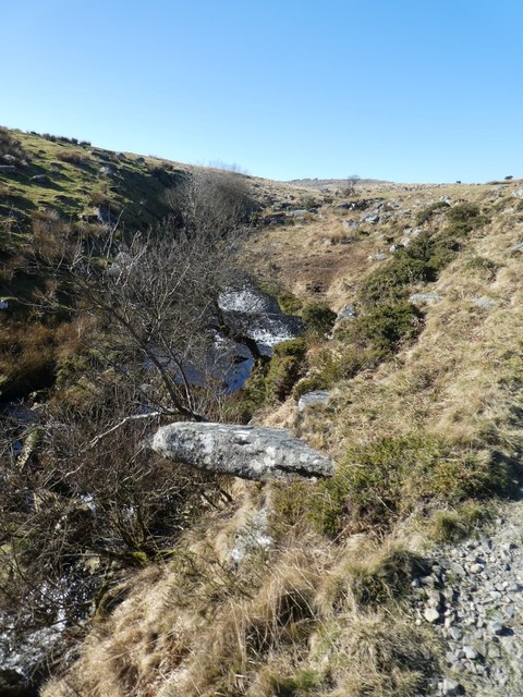
The hill is characterized by its distinctive heathland and moorland habitat, which supports a rich variety of flora and fauna. It is home to several rare plant species, including heather, gorse, and bilberry. The diverse vegetation provides an important habitat for a range of wildlife, such as adders, lizards, and various bird species including the Dartford warbler and nightjar.
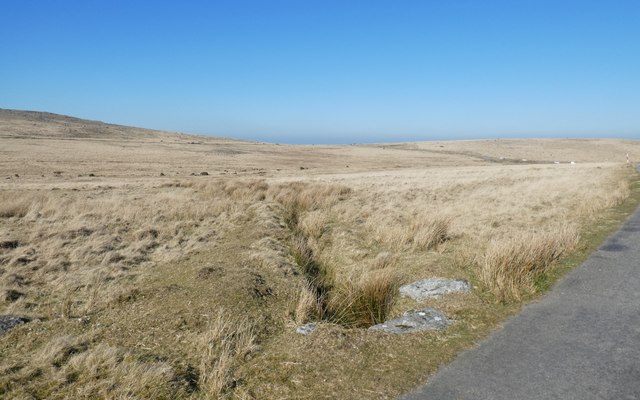
Black Down offers stunning panoramic views from its summit, allowing visitors to take in the picturesque landscape of the surrounding area. On a clear day, it is possible to see as far as the coastline of South Wales, the Bristol Channel, and even Dartmoor in the distance.
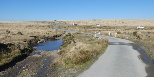
The hill is a popular destination for outdoor enthusiasts, offering numerous walking trails and bridleways that crisscross the area. These trails cater to various abilities, making it accessible to both casual walkers and more experienced hikers. The tranquil and remote nature of Black Down makes it an ideal location for those seeking a peaceful retreat away from the hustle and bustle of daily life.
Overall, Black Down is a natural gem in Devon, providing a haven for wildlife and offering visitors a chance to immerse themselves in the beauty of the countryside.
If you have any feedback on the listing, please let us know in the comments section below.
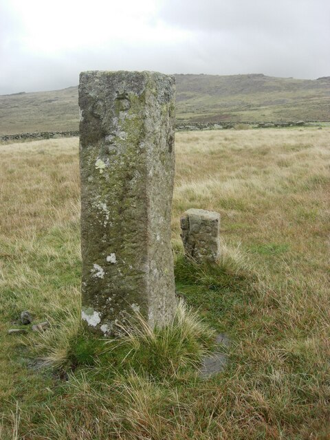
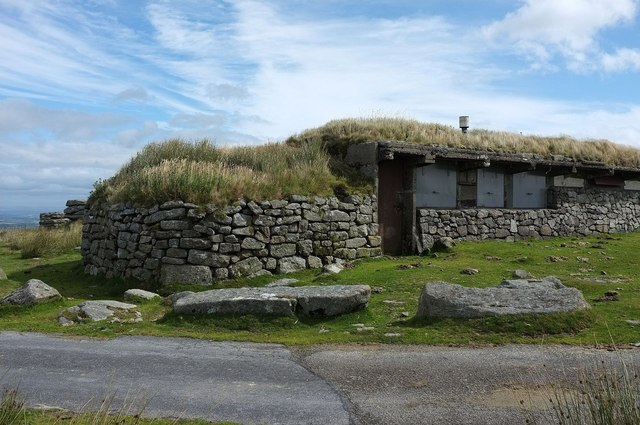
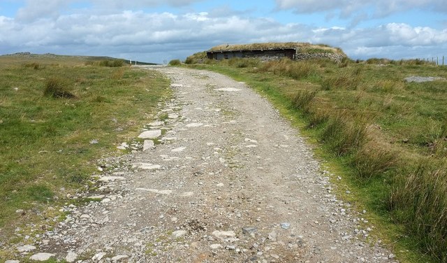
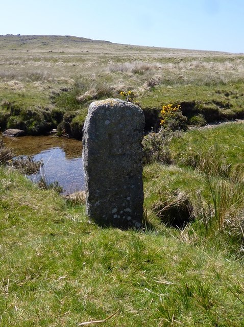
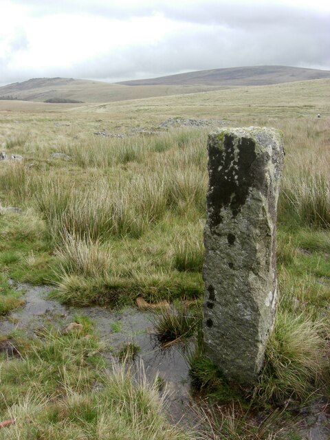
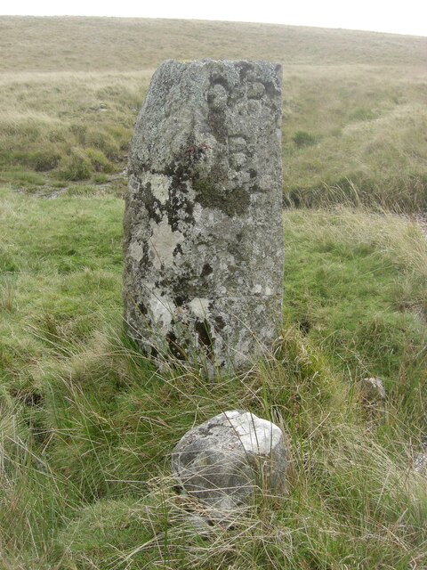
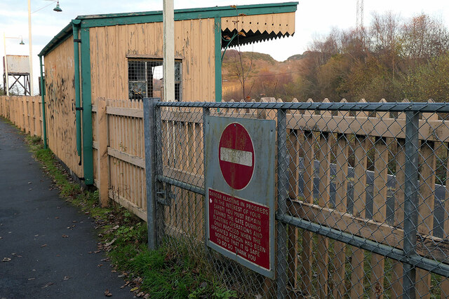
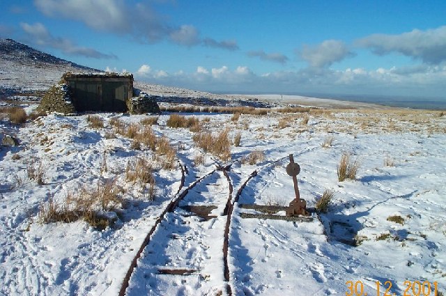
Black Down Images
Images are sourced within 2km of 50.709554/-4.007157 or Grid Reference SX5891. Thanks to Geograph Open Source API. All images are credited.

Black Down is located at Grid Ref: SX5891 (Lat: 50.709554, Lng: -4.007157)
Administrative County: Devon
District: West Devon
Police Authority: Devon and Cornwall
What 3 Words
///pursuit.mulled.trickster. Near Okehampton, Devon
Nearby Locations
Related Wikis
Rowtor Target Railway
The Rowtor Target Railway was a military narrow gauge target railway south of Okehampton in Dartmoor, England with a gauge of 24 inches (610 mm). ��2...

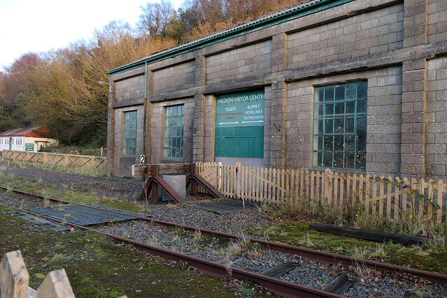
Meldon Viaduct railway station
Meldon Viaduct railway station was a railway station at Meldon in Devon. It was renamed in 2015 from Meldon Quarry railway station. == History == The station...

Yes Tor
Yes Tor is the second highest point on Dartmoor, Devon, South West England, at 619 metres (2,031 ft) above sea level. It is one of only two wholly English...

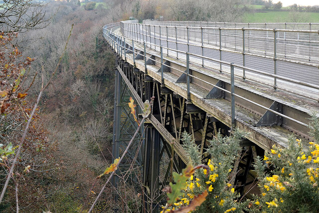
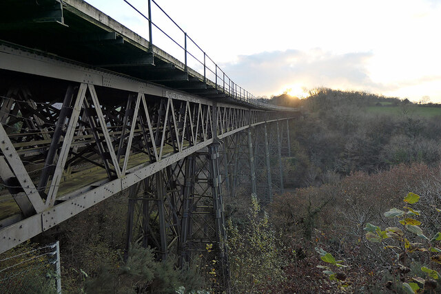
Meldon Viaduct
Meldon Viaduct is a disused railway viaduct crossing the West Okement River at Meldon, 2.5 miles (4.0 km) south-west of Okehampton, on the edge of Dartmoor...

Okehampton Castle
Okehampton Castle is a medieval motte and bailey castle in Devon, England. It was built between 1068 and 1086 by Baldwin FitzGilbert following a revolt...

Dartmoor line
The Dartmoor line is a 15+1⁄2-mile (24.9 km) railway line in Devon, England. From Crediton, the line runs alongside the Tarka Line to the site of the former...

Okehampton railway station
Okehampton railway station is a terminus railway station on the Dartmoor line serving the town of Okehampton in Devon, England. The station closed to regular...

High Willhays
High Willhays ( WIL-eez, WIL-hayz), or according to some authorities High Willes, is the highest point on Dartmoor, Devon, at 621 metres (2,039 feet) above...
Nearby Amenities
Located within 500m of 50.709554,-4.007157Have you been to Black Down?
Leave your review of Black Down below (or comments, questions and feedback).