Gwernestyn

Settlement in Flintshire

Wales

Gwernestyn

Caergwrle Castle
Caergwrle Castle Credit: Chris Andrews

The requested URL returned error: 429 Too Many Requests

If you have any feedback on the listing, please let us know in the comments section below.
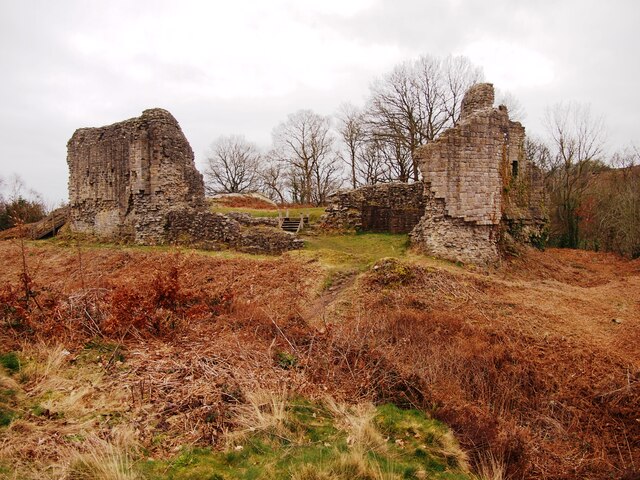
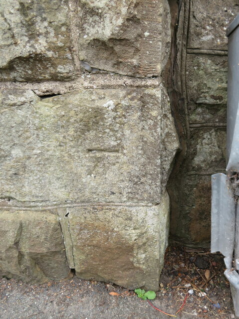
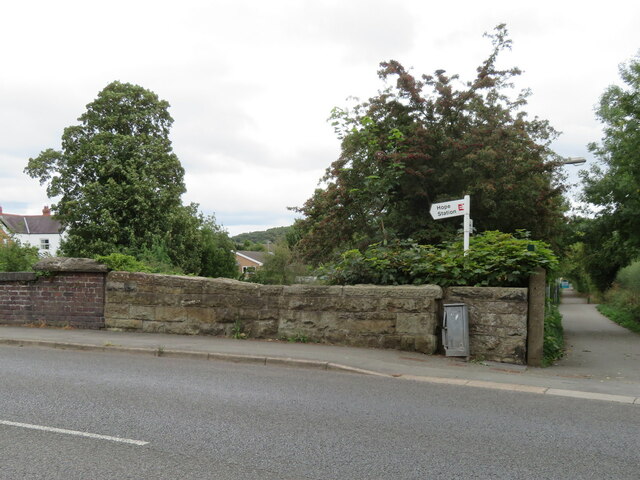
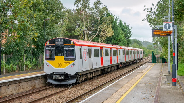
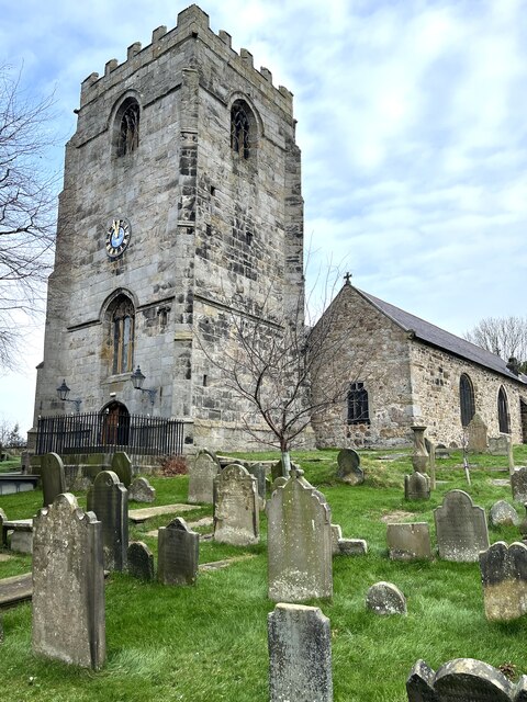
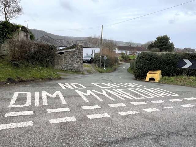
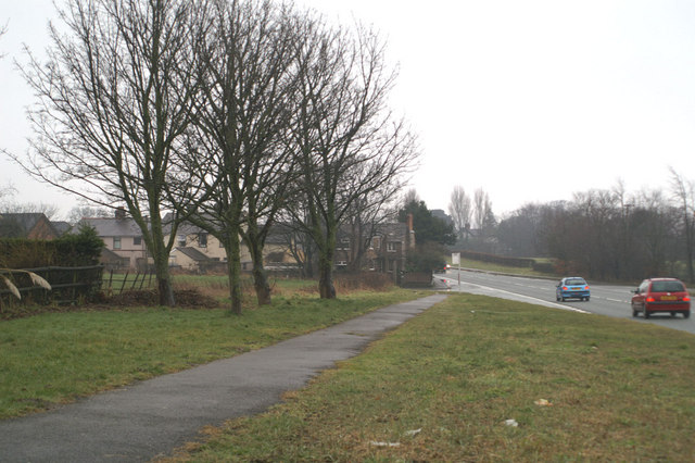
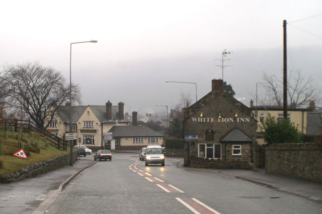
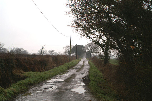
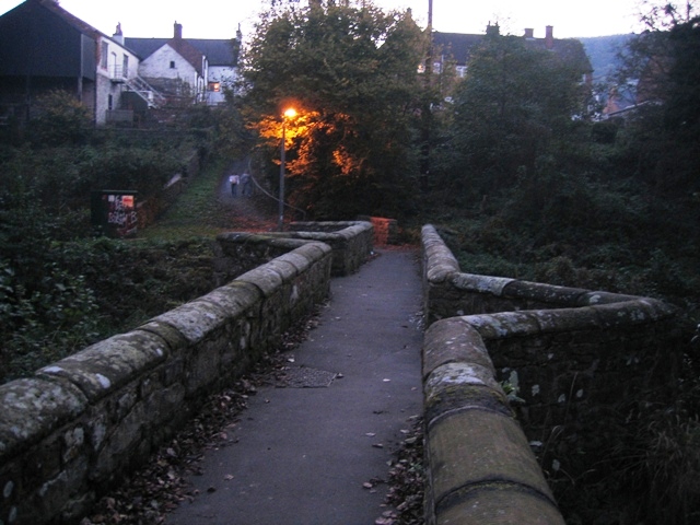
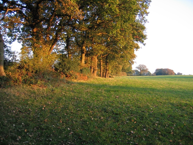
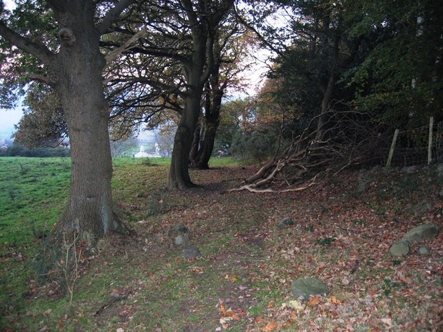
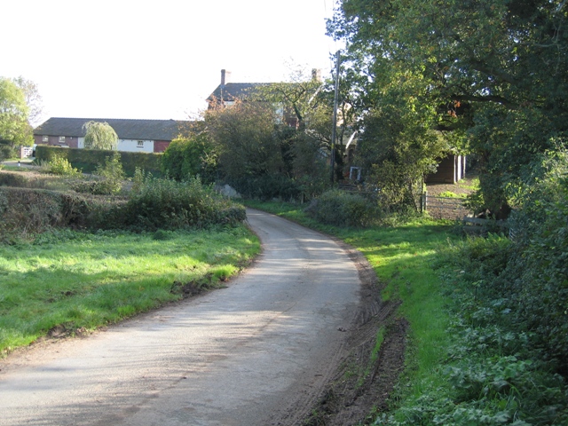
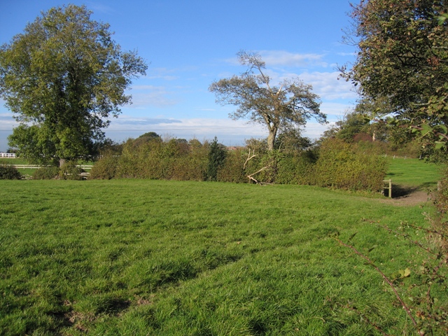
Gwernestyn Images

Images are sourced within 2km of 53.11433/-3.016154 or Grid Reference SJ3257. Thanks to Geograph Open Source API. All images are credited.

Caergwrle Castle
Caergwrle Castle
Benchmark on wall by Hope railway bridge, Fagl Lane Ordnance Survey benchmark on the stone wall by the south parapet of Hope railway bridge in Fagl Lane. Levelled at 87.063m above Newlyn Datum, verified 1959. The bridge creates an 'S' bend in the road and judging by the damage to the adjacent metal box the cut mark has done well to survive. For a wider view see <a href="https://www.geograph.org.uk/photo/7516365">SJ3058 : Stone wall by Hope railway bridge, Fagl Lane</a>                                                                                 
<span class="nowrap"><a title="https://www.bench-marks.org.uk/bm195085" rel="nofollow ugc noopener" href="https://www.bench-marks.org.uk/bm195085">Link</a><img style="margin-left:2px;" alt="External link" title="External link - shift click to open in new window" src="https://s1.geograph.org.uk/img/external.png" width="10" height="10"/></span>
Benchmark on wall by Hope railway bridge, Fagl Lane
Ordnance Survey benchmark on the stone wall by the south parapet of Hope railway bridge in Fagl Lane. Levelled at 87.063m above Newlyn Datum, verified 1959. The bridge creates an 'S' bend in the road and judging by the damage to the adjacent metal box the cut mark has done well to survive. For a wider view see SJ3058 : Stone wall by Hope railway bridge, Fagl Lane LinkExternal link
Stone wall by Hope railway bridge, Fagl Lane Looking across Fagl Lane towards the stone wall between the railway bridge on the left, and the access lane to Hope Station. There is an Ordnance Survey benchmark on the wall to the left of the damaged electricity cabinet <a href="https://www.geograph.org.uk/photo/7516332">SJ3058 : Benchmark on wall by Hope railway bridge, Fagl Lane</a>
Stone wall by Hope railway bridge, Fagl Lane
Looking across Fagl Lane towards the stone wall between the railway bridge on the left, and the access lane to Hope Station. There is an Ordnance Survey benchmark on the wall to the left of the damaged electricity cabinet SJ3058 : Benchmark on wall by Hope railway bridge, Fagl Lane
DEMU 230007 leaving Hope (Flintshire) Station for Wrexham Converted from London Underground stock
DEMU 230007 leaving Hope (Flintshire) Station for Wrexham
Converted from London Underground stock
Church of St Cynfarch and St Cynfar, Hope, Flintshire
No Entry - in either language To Kiln Drive, Hope.
No Entry - in either language
To Kiln Drive, Hope.
Barn at Bridge End
Barn at Bridge End
Trees in winter
Trees in winter
Passing by on the Wrexham Road Between Penyffordd and Hope on the A550
Passing by on the Wrexham Road
Between Penyffordd and Hope on the A550
Red, or White, Sir? The two pubs on the hill into Hope are the White Lion and the Red Lion
Red, or White, Sir?
The two pubs on the hill into Hope are the White Lion and the Red Lion
Middle Lane, Kinnerton
Cottages on Chapel Lane, near Llay Taken from the junction of Higher Lane, Dark Lane and Chapel Lane, looking towards Llay.
Cottages on Chapel Lane, near Llay
Taken from the junction of Higher Lane, Dark Lane and Chapel Lane, looking towards Llay.
Caergwrle's Packhorse Bridge/Y Bont Pynfarch Late afternoon on the mid 17th century packhorse bridge at Caergwrle. One of the finest examples of its type in Wales it was restored in 2001 after flood damage. It features low walls to allow for the passage of bulging side packs, and the two triangular recesses allow pedestrians to step out of the way of a packhorse train.
Caergwrle's Packhorse Bridge/Y Bont Pynfarch
Late afternoon on the mid 17th century packhorse bridge at Caergwrle. One of the finest examples of its type in Wales it was restored in 2001 after flood damage. It features low walls to allow for the passage of bulging side packs, and the two triangular recesses allow pedestrians to step out of the way of a packhorse train.
Caergwrle Packhorse Bridge Information Plaque This plaque, which provides information about the old bridge is high up on the wall of the last house on the lane down to the bridge, on the east side.
Caergwrle Packhorse Bridge Information Plaque
This plaque, which provides information about the old bridge is high up on the wall of the last house on the lane down to the bridge, on the east side.
Field boundary in the afternoon sun Taken from the public footpath in the corner of the field, the afternoon sun gives a warm glow to the trees that mark this old field boundary.
Field boundary in the afternoon sun
Taken from the public footpath in the corner of the field, the afternoon sun gives a warm glow to the trees that mark this old field boundary.
Ancient track near Bridge End, Caergwrle Taken on the public footpath/track that crosses the hill above Bridge End.  It seems to be ancient and designed to avoid the low ground alongside the River Alyn.
Ancient track near Bridge End, Caergwrle
Taken on the public footpath/track that crosses the hill above Bridge End. It seems to be ancient and designed to avoid the low ground alongside the River Alyn.
Golly Farm in the hamlet of Golly The lane turns left in front of Golly Farm.  Where the lane narrows there are bridge parapets for the stream shown on the O.S.25,000 map.
Golly Farm in the hamlet of Golly
The lane turns left in front of Golly Farm. Where the lane narrows there are bridge parapets for the stream shown on the O.S.25,000 map.
Field hedge and Ash tree Taken just inside Sj3158 with the field gate and boundary hedge in front at right angles across the field.  The hedge on the right continues past the gate and curves to the left in the distance.
Field hedge and Ash tree
Taken just inside Sj3158 with the field gate and boundary hedge in front at right angles across the field. The hedge on the right continues past the gate and curves to the left in the distance.
Show me another place!

Gwernestyn is located at Grid Ref: SJ3257 (Lat: 53.11433, Lng: -3.016154)

Unitary Authority: Flintshire

Police Authority: North Wales

Also known as: Gwern-Estyn

What 3 Words

///smirking.shocks.discrepancy. Near Hope, Flintshire

Related Wikis

Hope Hall

Hope Hall, Hope, Flintshire, Wales was a country house, built in 1740 and demolished in 1960. == The building == Hope Hall was built on the site of am...

Rhydyn Hall

Rhydyn Hall (or Rhyddyn Hall), near Caergwrle in Flintshire, Wales, is an 18th-century building with two storeys with a later wing to the north-west....

Caergwrle railway station

Caergwrle railway station serves the village of Caergwrle in Flintshire, Wales. The station is 4¾ miles (7 km) north of Wrexham Central on the Borderlands...

Hope railway station (Wales)

Hope railway station serves the village of Hope in Flintshire, Wales. The station is 5+1⁄4 miles (8.4 km) north of Wrexham Central on the Borderlands Line...

Related Videos

Charlie DOG at the CASTLE

castle #cutedog #cutepet #olddog #oldcastle #northwales #flintshire #caergwle #wrexham #dogwalking #chirk #ryanreynolds.

Caergwrle To Hope | North Wales

From One Station To Another By Foot.

Hope To Penyffordd | North Wales

Walking between these two stations.

Caergwrle Castle - Welsh or English?

King Edward the 1st of England famously built a chain of castles through Wales. Known as the ring of iron, the castles were ...

Nearby Amenities

Located within 500m of 53.11433,-3.016154
The data included in this document is from www.openstreetmap.org. The data is made available under ODbL.

Have you been to Gwernestyn?

Leave your review of Gwernestyn below (or comments, questions and feedback).