Gwernesni
Settlement in Monmouthshire
Wales
Gwernesni
The requested URL returned error: 429 Too Many Requests
If you have any feedback on the listing, please let us know in the comments section below.
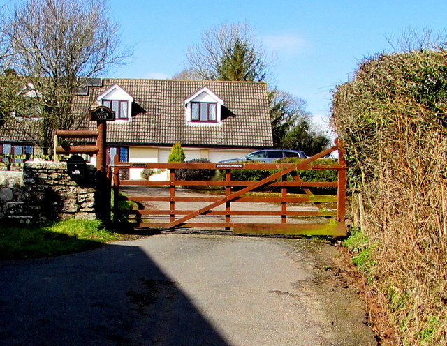
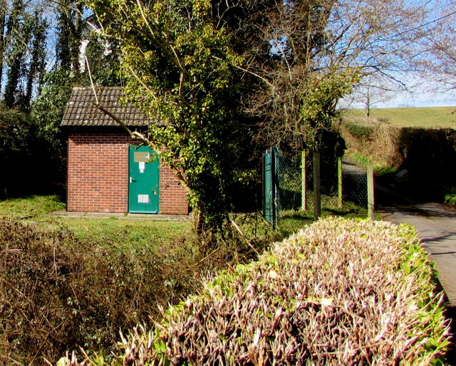
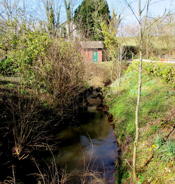
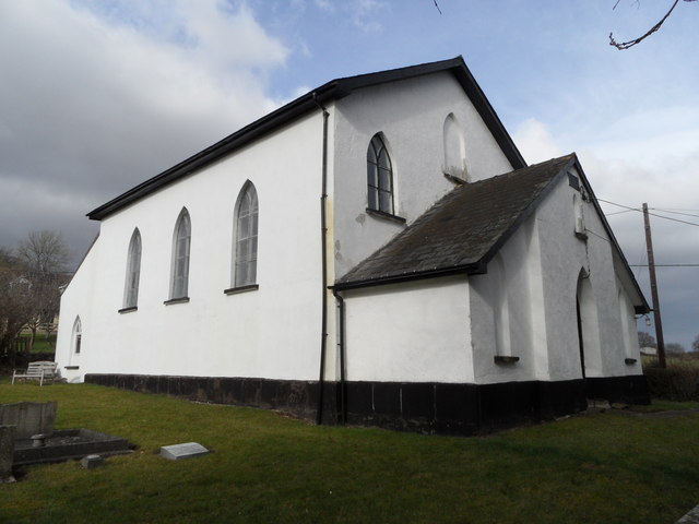
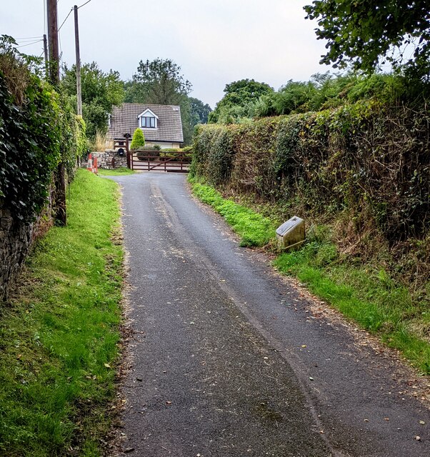
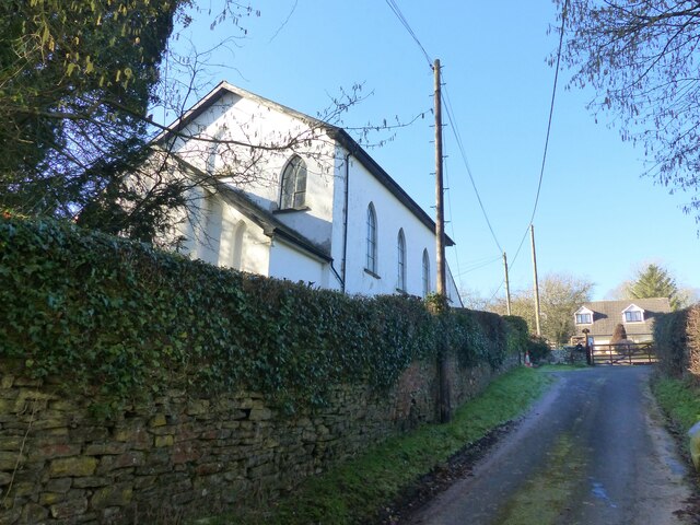
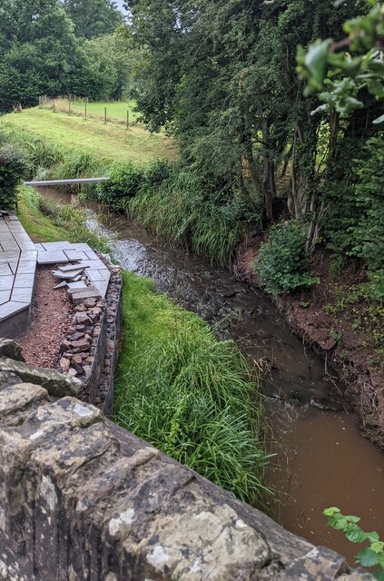
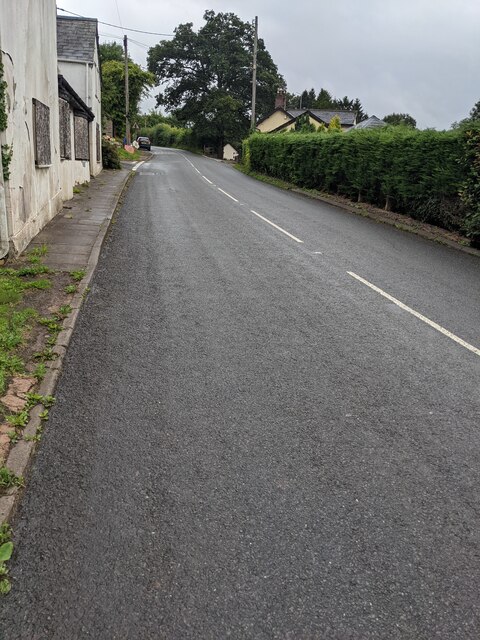
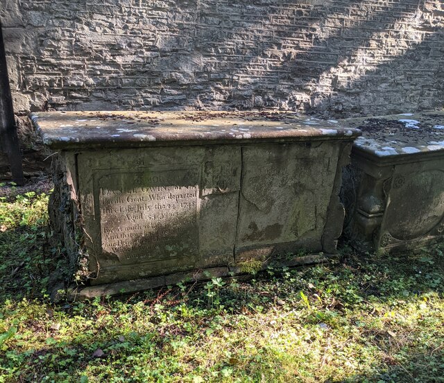
Gwernesni Images
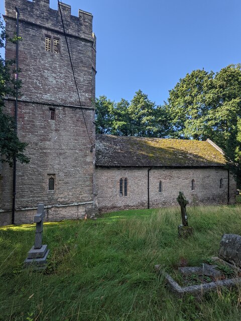
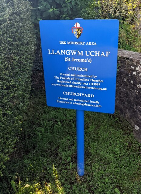
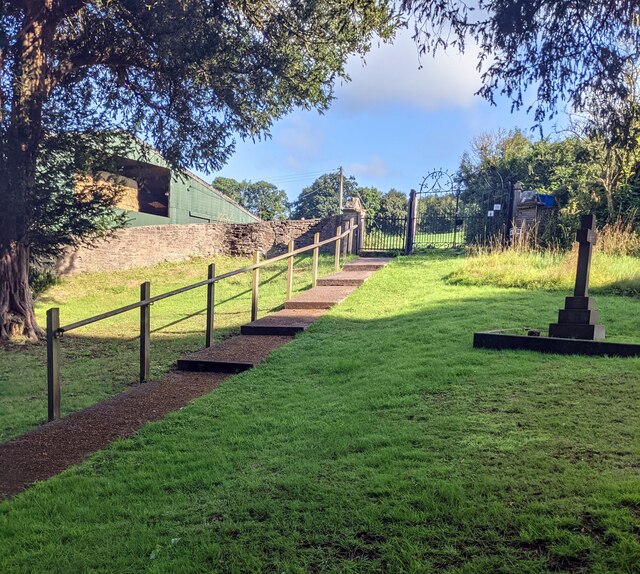
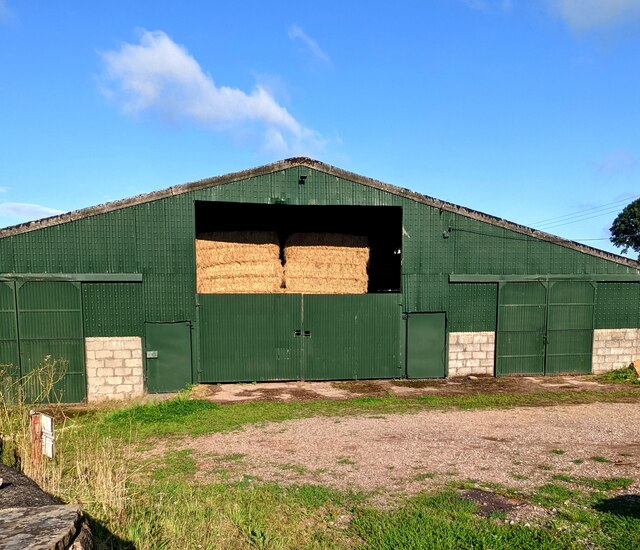
Images are sourced within 2km of 51.712216/-2.843651 or Grid Reference SO4101. Thanks to Geograph Open Source API. All images are credited.

Gwernesni is located at Grid Ref: SO4101 (Lat: 51.712216, Lng: -2.843651)
Unitary Authority: Monmouthshire
Police Authority: Gwent
Also known as: Gwernesney
What 3 Words
///illogical.lists.mining. Near Llangwm, Monmouthshire
Nearby Locations
Related Wikis

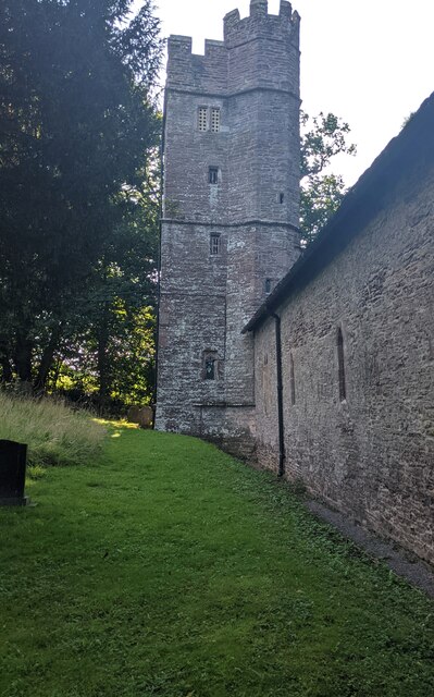
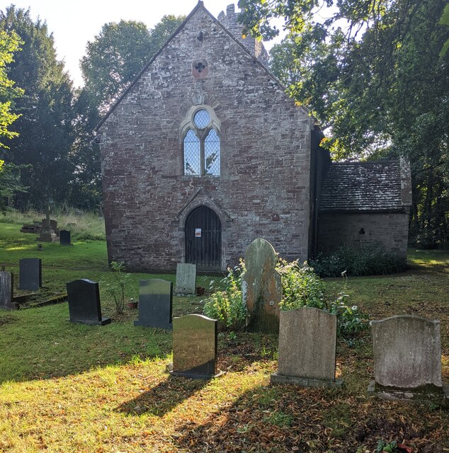
Church of St Michael and All Angels, Gwernesney
The Church of St Michael and All Angels is the former parish church of Gwernesney, Monmouthshire, Wales. It is a Grade I listed building. In 2017, the...
Gwernesney
Gwernesney (Welsh: Gwernesni) is a village in Monmouthshire in southeast Wales. == Location == Gwernesney is located three miles east of Usk on the B4235...

Cefntilla Halt railway station
Cefntilla Halt was a request stop on the former Coleford, Monmouth, Usk and Pontypool Railway. It was opened on 27 March 1954 and was open for less than...

Allt-y-Bela
Allt-y-Bela in Llangwm, Monmouthshire, Wales, is a house of late medieval origin with additions from the sixteenth to the twenty-first centuries. During...
Related Videos

USK SHOW 10TH SEPT 2022
This is the first time i have been to this show and im glad i did as it was excellent and had many things to see. With my 2 4k ...
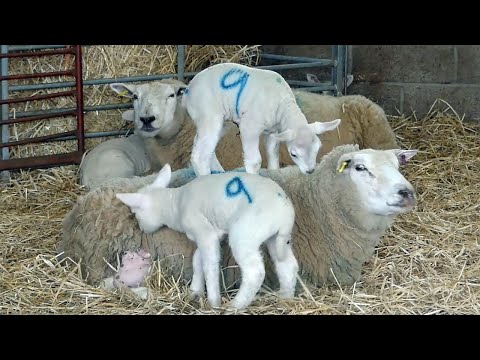
Part 1 Lambing on a small 35 acre Welsh farm. Why sheep are tagged? Bottle milk for lambs.
We follow lambing on a 35 acre farm outside Usk in South Wales. The story starts with a farm tour with Linda. Last year's lambs to ...
Nearby Amenities
Located within 500m of 51.712216,-2.843651Have you been to Gwernesni?
Leave your review of Gwernesni below (or comments, questions and feedback).