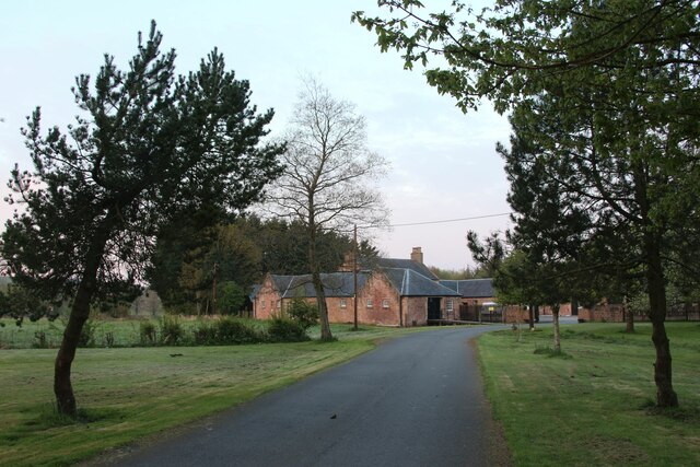
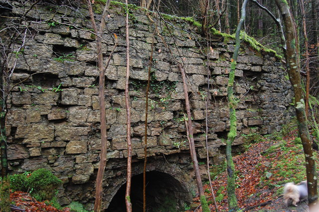
Mine Plantation
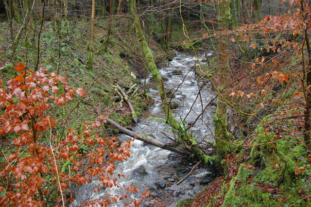
Downs, Moorland in Ayrshire
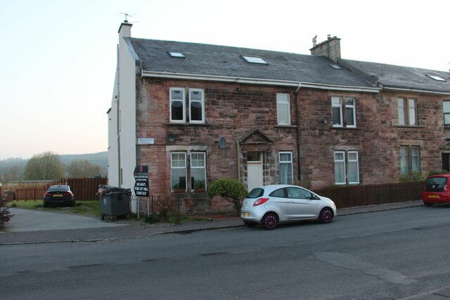
Scotland
Mine Plantation
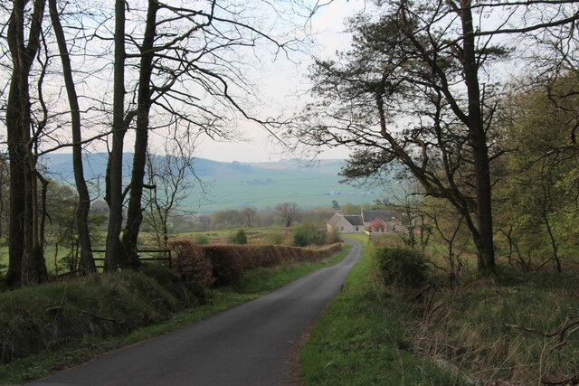
Mine Plantation is a vast estate located in Ayrshire, Scotland, known for its diverse landscapes comprising downs, moorland, and fertile grounds. Spanning over hundreds of acres, the plantation offers a picturesque setting that attracts nature enthusiasts, hikers, and photographers alike.
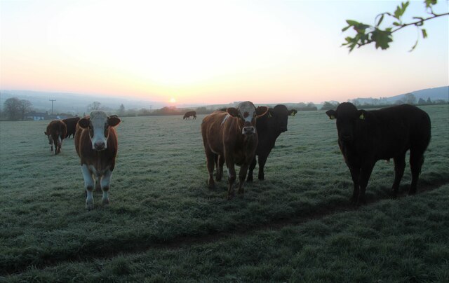
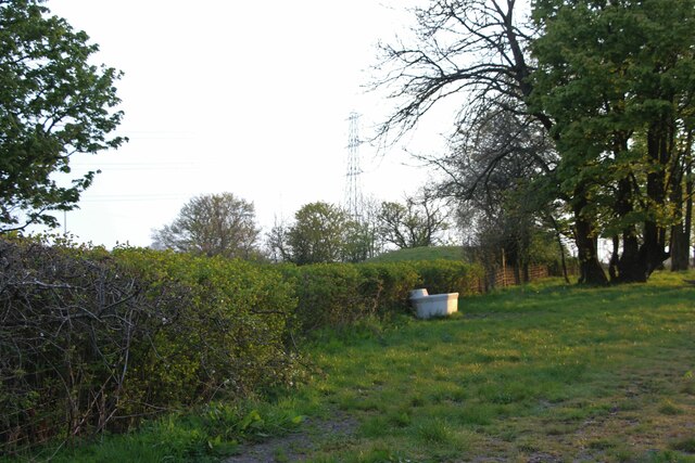
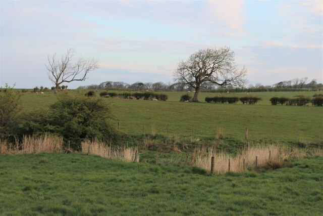
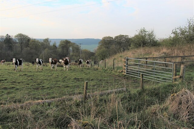
The downs of Mine Plantation are characterized by gently rolling hills covered with lush grasses and scattered with wildflowers. This landscape provides a serene atmosphere, offering visitors the opportunity to take leisurely walks or enjoy a peaceful picnic amidst breathtaking views. The downs also serve as grazing areas for the plantation's livestock, including sheep and cattle, adding to the idyllic rural charm.
Moving towards the moorland, visitors are greeted by a more rugged terrain. Heather dominates the landscape, creating a stunning display of purple hues during the summer months. The moorland is home to a diverse range of wildlife, including birds of prey, grouse, and various small mammals, making it a haven for birdwatchers and nature lovers.
The fertile grounds of Mine Plantation are carefully cultivated, supporting a variety of agricultural activities. Crops such as barley, oats, and potatoes thrive here, contributing to the local economy and providing a source of fresh produce for the surrounding communities.
Overall, Mine Plantation in Ayrshire offers a unique blend of natural beauty and agricultural productivity. Whether it's exploring the downs, wandering through the moorland, or witnessing the bountiful harvest on the fertile grounds, visitors can immerse themselves in the splendor of the Scottish countryside.
If you have any feedback on the listing, please let us know in the comments section below.
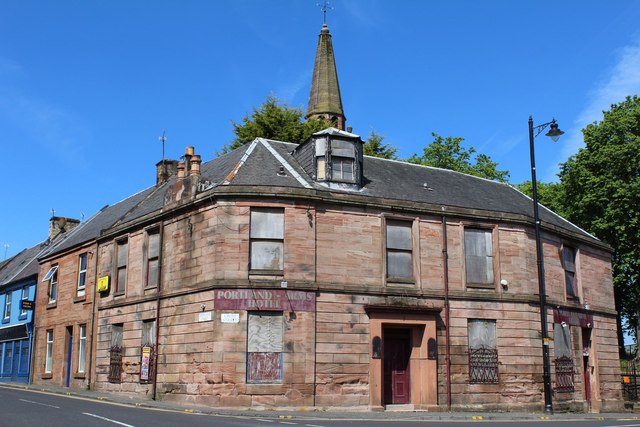
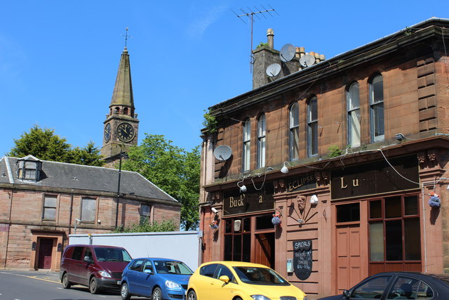
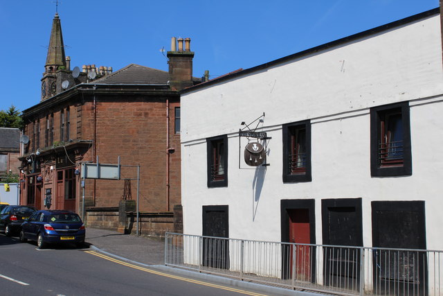
Mine Plantation Images
Images are sourced within 2km of 55.612771/-4.3781156 or Grid Reference NS5038. Thanks to Geograph Open Source API. All images are credited.


Mine Plantation is located at Grid Ref: NS5038 (Lat: 55.612771, Lng: -4.3781156)
Unitary Authority: East Ayrshire
Police Authority: Ayrshire
What 3 Words
///pillow.rentals.sketching. Near Galston, East Ayrshire
Nearby Locations
Related Wikis

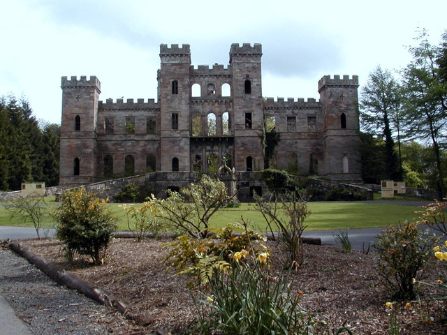
Loudoun Castle (theme park)
Loudoun Castle was a theme park set around the ruins of the 19th century Loudoun Castle near Galston, in the Loudoun area of Ayrshire, Scotland, United...

Loudoun Castle
Loudoun Castle is a ruined 19th-century country house near Galston, in the Loudoun area of Ayrshire, Scotland. The ruins are protected as a category A...
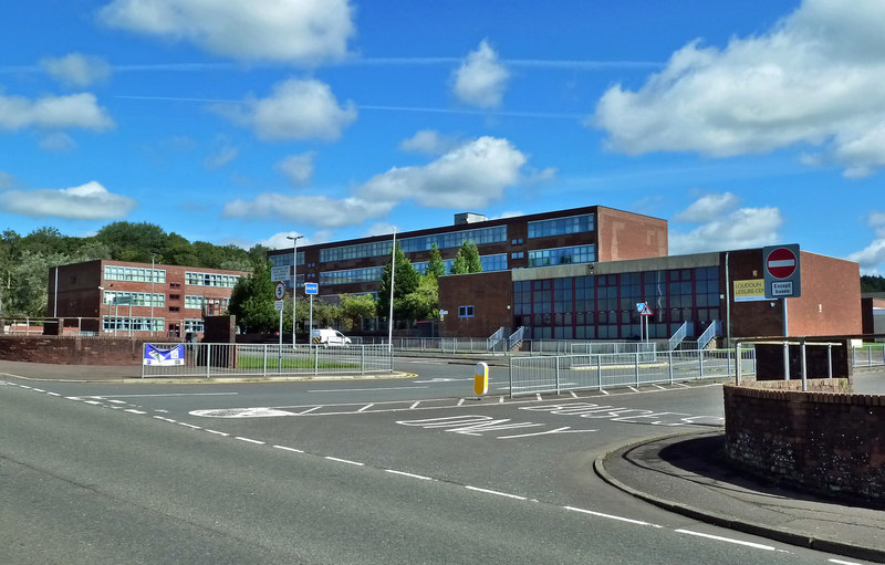
Loudoun Academy, Galston
Loudoun Academy is a secondary school in the outskirts of Galston, East Ayrshire, in Scotland serving the Loudoun district which includes the Irvine Valley...

Twist n' Shout
Twist n' Shout is a steel looping roller coaster located at Loudoun Castle Theme Park in Galston, south-west Scotland. It opened in 2003 as a part of the...
Loudoun Kirk
Loudoun Kirk is a disused church located about one mile west of Loudoun Castle, East Ayrshire. It served as Loudoun's parish church until some point after...
Portland Park, Galston
Portland Park was a football ground in Galston, Scotland. It was the home ground of Galston F.C. == History == Galston were playing at Portland Park when...
Galston parish
Galston Parish is situated in East Ayrshire, Scotland, some five to ten miles east of Kilmarnock and roughly encompasses the southern half of the Upper...

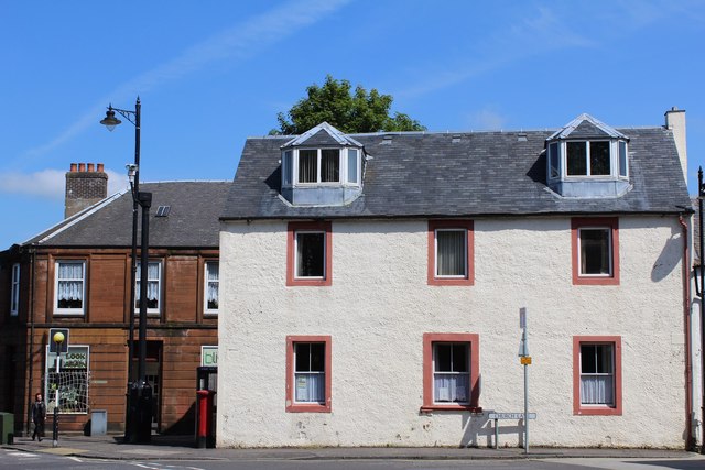
Galston, East Ayrshire
Galston (Lowland Scots: Gauston, Scottish Gaelic: Baile nan Gall) is a municipality in East Ayrshire, Scotland, which has a population of 5,001 (2001)...
Nearby Amenities
Located within 500m of 55.612771,-4.3781156Have you been to Mine Plantation?
Leave your review of Mine Plantation below (or comments, questions and feedback).