Castle Hill
Hill, Mountain in Ayrshire
Scotland
Castle Hill
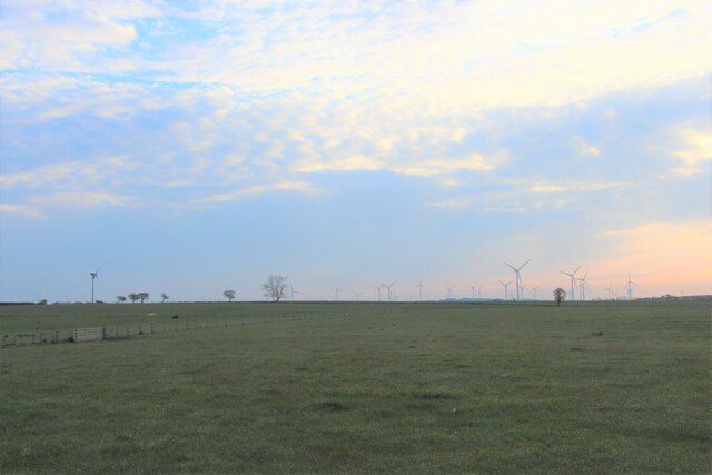
Castle Hill is a prominent hill located in Ayrshire, Scotland. Rising to an elevation of approximately 120 meters (394 feet), it offers stunning panoramic views of the surrounding countryside and the nearby towns of Ayr and Troon. The hill is part of a larger range known as the Carrick Hills, which stretch for several miles along the Ayrshire coastline.
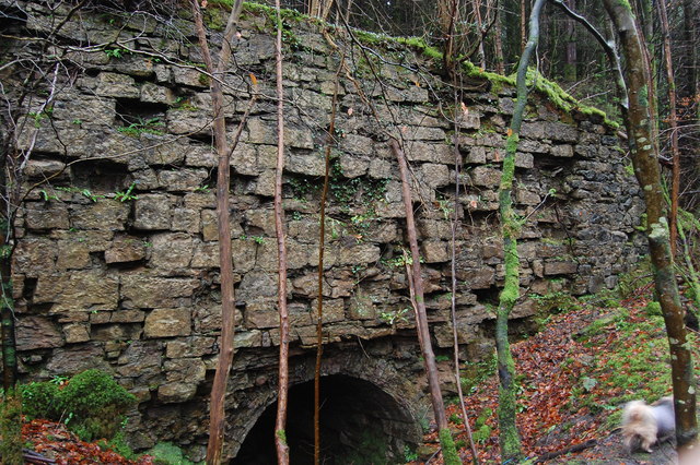
The name "Castle Hill" is derived from the presence of a historic fortification that once stood on its summit. The remains of this ancient hillfort, believed to date back to the Iron Age, can still be seen today. The site is characterized by a series of earthworks and ditches, which would have served as defensive structures in the past.
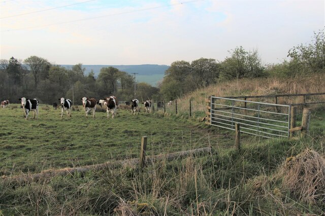
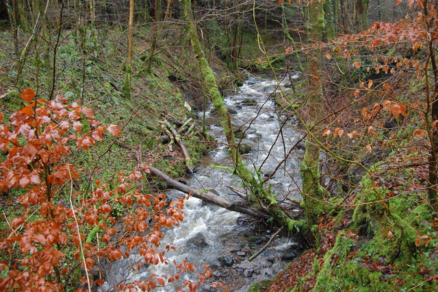
In addition to its historical significance, Castle Hill also boasts a diverse range of flora and fauna. The hill is covered in lush grasslands and heather, providing a habitat for a variety of plant species. It is also home to numerous bird species, including buzzards, kestrels, and peregrine falcons, making it a popular spot for birdwatchers.
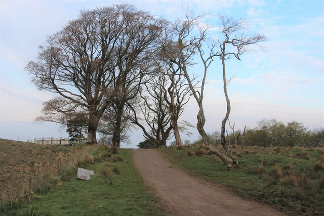
Castle Hill is easily accessible to visitors, with a network of walking trails leading to its summit. These paths wind through the picturesque Ayrshire countryside, offering hikers a chance to enjoy the natural beauty of the area. The hill is a popular destination for outdoor enthusiasts, who can enjoy activities such as walking, hiking, and picnicking in its tranquil surroundings.
Overall, Castle Hill is a remarkable natural and historical landmark in Ayrshire, offering visitors the opportunity to explore its ancient past while enjoying breathtaking views of the surrounding landscape.
If you have any feedback on the listing, please let us know in the comments section below.
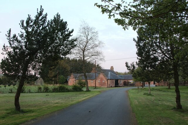
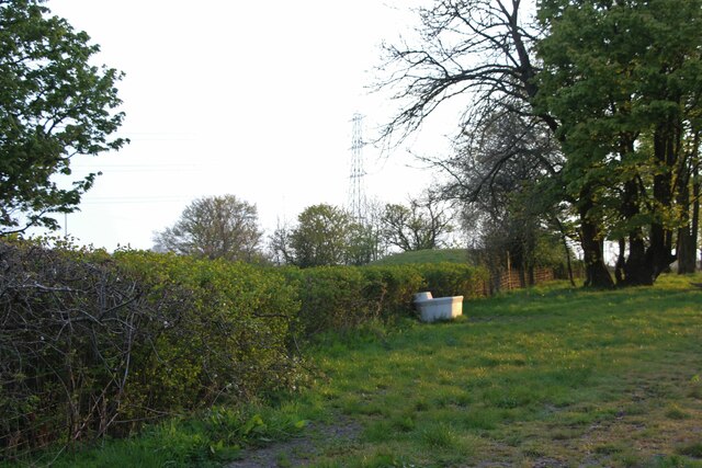
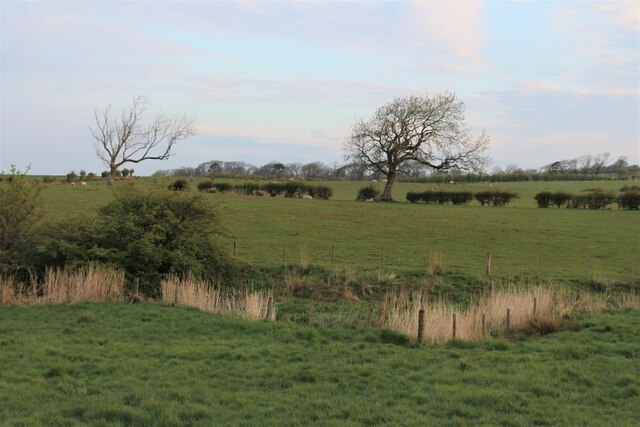
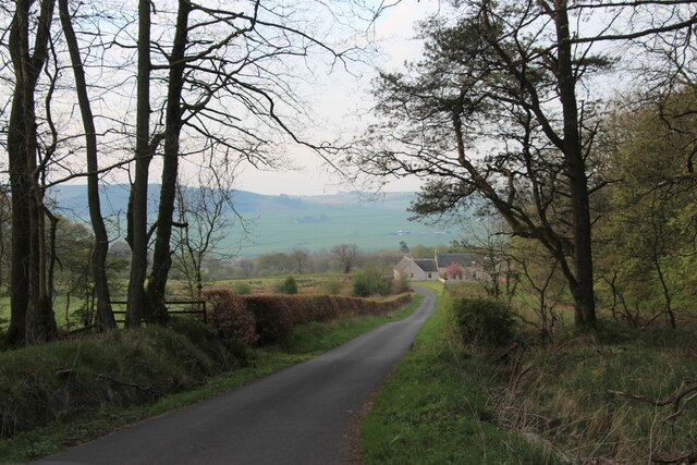
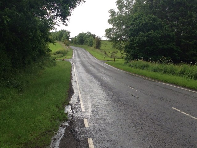
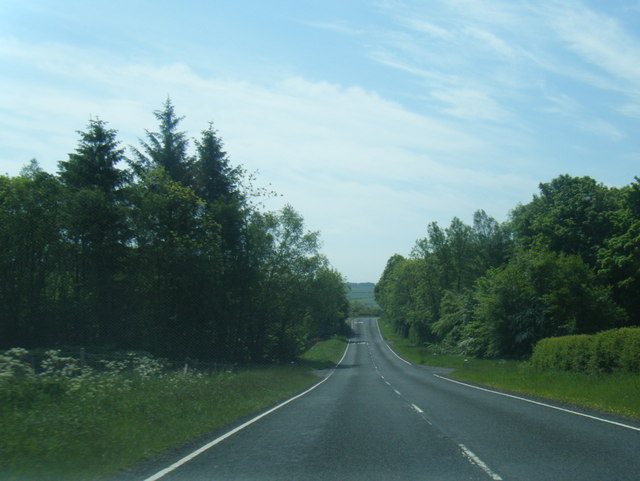
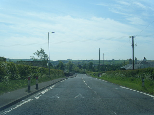
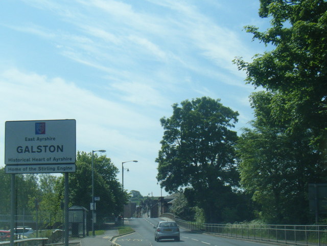
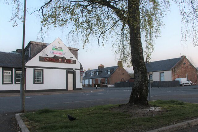
Castle Hill Images
Images are sourced within 2km of 55.619721/-4.3793943 or Grid Reference NS5038. Thanks to Geograph Open Source API. All images are credited.

Castle Hill is located at Grid Ref: NS5038 (Lat: 55.619721, Lng: -4.3793943)
Unitary Authority: East Ayrshire
Police Authority: Ayrshire
What 3 Words
///jars.restriction.airbase. Near Galston, East Ayrshire
Nearby Locations
Related Wikis

Loudoun Castle (theme park)
Loudoun Castle was a theme park set around the ruins of the 19th century Loudoun Castle near Galston, in the Loudoun area of Ayrshire, Scotland, United...

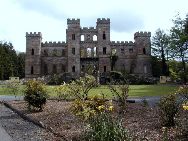
Loudoun Castle
Loudoun Castle is a ruined 19th-century country house near Galston, in the Loudoun area of Ayrshire, Scotland. The ruins are protected as a category A...

Twist n' Shout
Twist n' Shout is a steel looping roller coaster located at Loudoun Castle Theme Park in Galston, south-west Scotland. It opened in 2003 as a part of the...
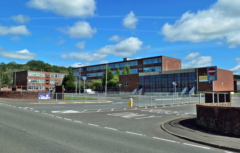
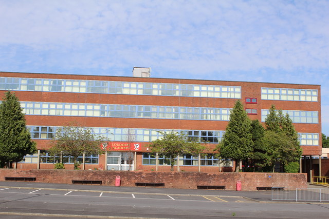
Loudoun Academy, Galston
Loudoun Academy is a secondary school in the outskirts of Galston, East Ayrshire, in Scotland serving the Loudoun district which includes the Irvine Valley...
Loudoun Kirk
Loudoun Kirk is a disused church located about one mile west of Loudoun Castle, East Ayrshire. It served as Loudoun's parish church until some point after...
Portland Park, Galston
Portland Park was a football ground in Galston, Scotland. It was the home ground of Galston F.C. == History == Galston were playing at Portland Park when...

Moscow, East Ayrshire
Moscow is a hamlet in East Ayrshire in Scotland. It is on the A719 road some 4 miles (6 kilometres) east of Kilmarnock. In 2006 its population was reported...
Galston parish
Galston Parish is situated in East Ayrshire, Scotland, some five to ten miles east of Kilmarnock and roughly encompasses the southern half of the Upper...
Nearby Amenities
Located within 500m of 55.619721,-4.3793943Have you been to Castle Hill?
Leave your review of Castle Hill below (or comments, questions and feedback).