Allt Blodeuyn
Downs, Moorland in Carmarthenshire
Wales
Allt Blodeuyn
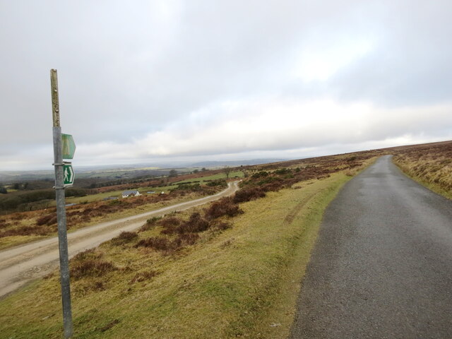
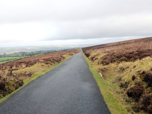
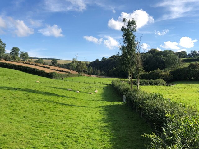
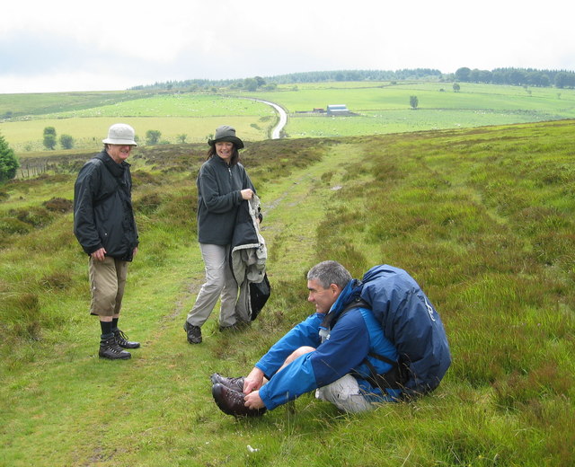
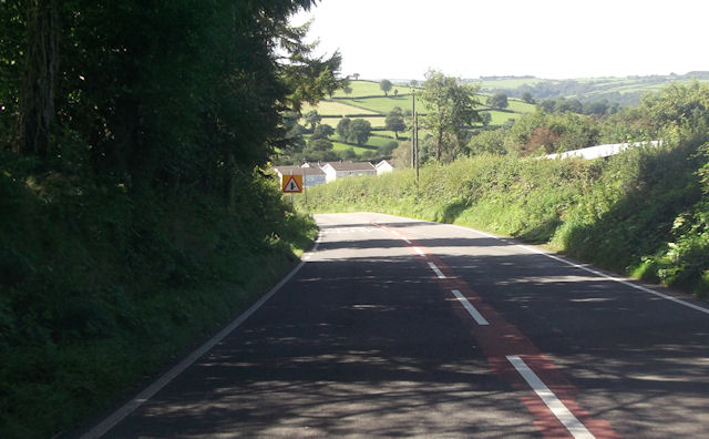
Allt Blodeuyn is a picturesque area located in Carmarthenshire, Wales. Situated on the downs and moorland, it offers breathtaking views of the surrounding countryside. The name "Allt Blodeuyn" translates to "hill of flowers," which accurately describes the vibrant landscape that can be found here.
The area is characterized by rolling hills covered in lush green grass, which is dotted with a variety of colorful flowers during the spring and summer months. The diverse flora includes wildflowers such as bluebells, primroses, and daffodils, creating a stunning tapestry of colors. This makes Allt Blodeuyn a popular destination for nature enthusiasts and photographers alike.
The downs and moorland also provide a habitat for various wildlife species. Visitors may spot birds of prey soaring overhead, such as buzzards and kestrels. Rabbits and hares can be seen darting across the fields, while occasional sightings of foxes and badgers add to the area's charm.
Aside from its natural beauty, Allt Blodeuyn also offers recreational opportunities. The area is crisscrossed by a network of walking trails, allowing visitors to explore the stunning countryside at their own pace. The tranquil atmosphere and unspoiled surroundings make it an ideal location for hiking, picnicking, or simply enjoying a leisurely stroll.
In conclusion, Allt Blodeuyn in Carmarthenshire is a picturesque area of downs and moorland, bursting with colorful flowers and offering breathtaking views of the surrounding countryside. With its diverse flora and fauna, it provides a haven for nature lovers and outdoor enthusiasts.
If you have any feedback on the listing, please let us know in the comments section below.
Allt Blodeuyn Images
Images are sourced within 2km of 52.002819/-4.2115775 or Grid Reference SN4836. Thanks to Geograph Open Source API. All images are credited.
![A Blue Sheep A sheep with its owner's marking of blue - belonging to one of the Graziers of Mynydd Llanllwni common. In the background, some of the ten giant wind turbines near Gwyddgrug, called the Alltwalis wind farm [110 m high]. Although there was a brisk breeze that day, the turbine blades were standing still; not an unusual occurrence. Mynydd Llanllni is the area where another wind farm company want to put 21 more turbines at 127m high.](https://s0.geograph.org.uk/geophotos/03/60/95/3609572_5d5f0957.jpg)
Allt Blodeuyn is located at Grid Ref: SN4836 (Lat: 52.002819, Lng: -4.2115775)
Unitary Authority: Carmarthenshire
Police Authority: Dyfed Powys
What 3 Words
///grumbling.travels.struts. Near Pencader, Carmarthenshire
Nearby Locations
Related Wikis

New Inn, Carmarthenshire
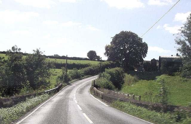
New Inn is a small village located in Carmarthenshire, Wales with a population of 348. It is situated along the A485 A road between Llanllwni and Gwyddgrug...
Gwyddgrug
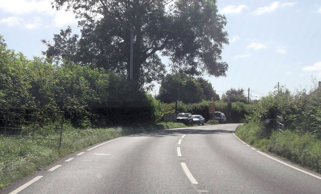
Gwyddgrug is a small village in Carmarthenshire, West Wales. It is located on the main A485 road south of New Inn. == References ==

Llanllwni
Llanllwni is a village and community in Carmarthenshire, Wales, on the A485 road south-west of Llanybydder. To the south lies the mountain, Mynydd Llanllwni...

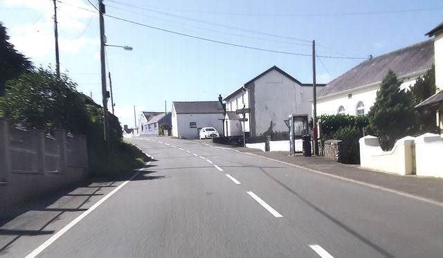
Pencader, Carmarthenshire
Pencader () is a small village in Carmarthenshire, Wales , in the community of Llanfihangel-ar-Arth. It is located around 3 miles (5 km) south-east of...
Have you been to Allt Blodeuyn?
Leave your review of Allt Blodeuyn below (or comments, questions and feedback).