Yr Hen Erddi (The Old Allotments)
Downs, Moorland in Caernarfonshire
Wales
Yr Hen Erddi (The Old Allotments)
Yr Hen Erddi, also known as The Old Allotments, is a picturesque area located in Caernarfonshire, Wales. Situated on the stunning Downs, it is surrounded by vast moorland that adds to its natural charm. This tranquil setting offers visitors a unique experience of the Welsh countryside.
The Old Allotments is a well-preserved piece of land that was historically used for agricultural purposes. The area consists of a series of small plots of land, each divided by low stone walls. These plots were traditionally used by local farmers to grow crops and raise livestock. Today, however, the land is no longer actively cultivated and has been left untouched, allowing nature to reclaim its space.
The landscape of Yr Hen Erddi is characterized by rolling hills covered in lush grasses and scattered with wildflowers. The moorland surrounding the allotments is home to a variety of native plant and animal species, creating a rich and diverse ecosystem. Visitors to the area can enjoy leisurely walks along the well-maintained paths, taking in the breathtaking scenery and immersing themselves in the peaceful ambiance.
The Old Allotments is a popular spot for nature enthusiasts and photographers alike. Its untouched beauty and idyllic setting make it a perfect location for capturing stunning images of the Welsh countryside. The area also offers a sense of tranquility and serenity, providing visitors with a peaceful retreat from the hustle and bustle of everyday life.
Yr Hen Erddi is a hidden gem in Caernarfonshire, showcasing the natural beauty and rich history of the region. Whether you are interested in exploring the moorland, observing wildlife, or simply enjoying the peaceful atmosphere, The Old Allotments is a must-visit destination for anyone seeking a true taste of rural Wales.
If you have any feedback on the listing, please let us know in the comments section below.
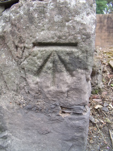
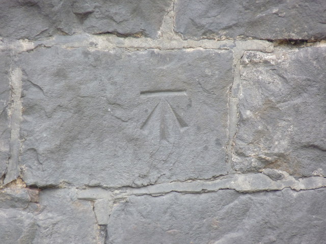
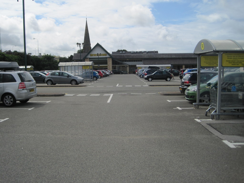
Yr Hen Erddi (The Old Allotments) Images
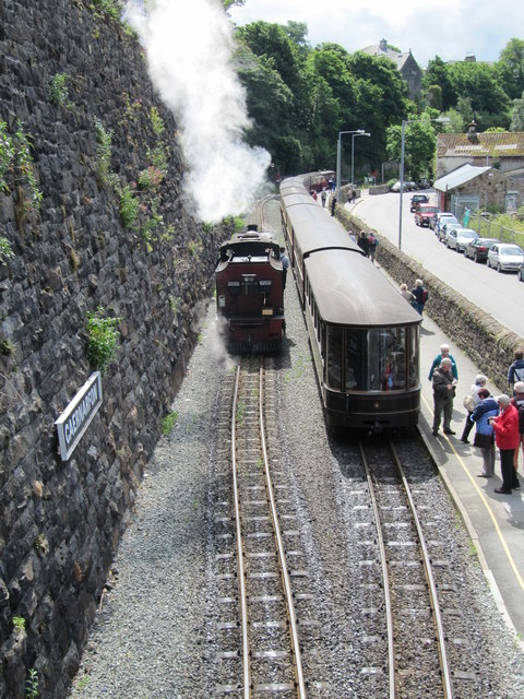
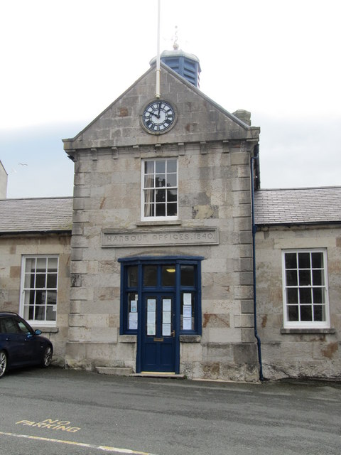
Images are sourced within 2km of 53.147388/-4.2695166 or Grid Reference SH4863. Thanks to Geograph Open Source API. All images are credited.


Yr Hen Erddi (The Old Allotments) is located at Grid Ref: SH4863 (Lat: 53.147388, Lng: -4.2695166)
Unitary Authority: Gwynedd
Police Authority: North Wales
What 3 Words
///cost.sugar.odds. Near Caernarfon, Gwynedd
Nearby Locations
Related Wikis

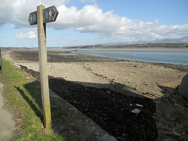
Llŷn Coastal Path
The Llŷn Coastal Path (Welsh: Llwybr Arfordir Llŷn) is a waymarked 146-kilometre (91 mi) long-distance footpath running along the coast of the Llŷn Peninsula...

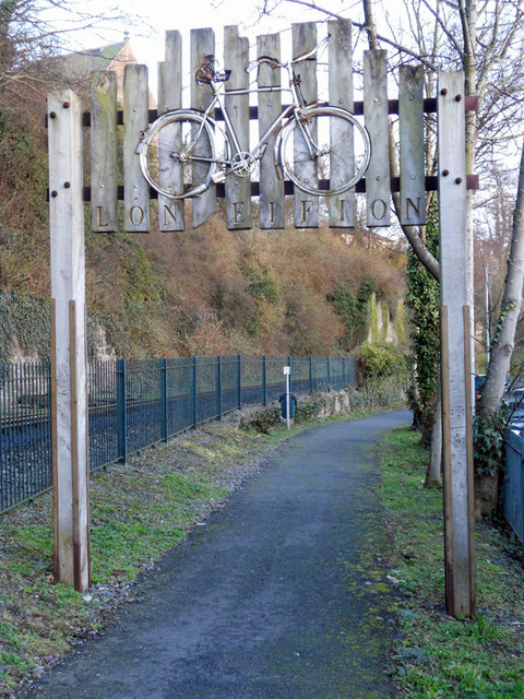
Lôn Eifion
Lôn Eifion is part of Lôn Las Cymru, the Welsh National Cycle Route, which is about 400 km (250 mi) long. Lôn Eifion is the section which runs for 20 km...
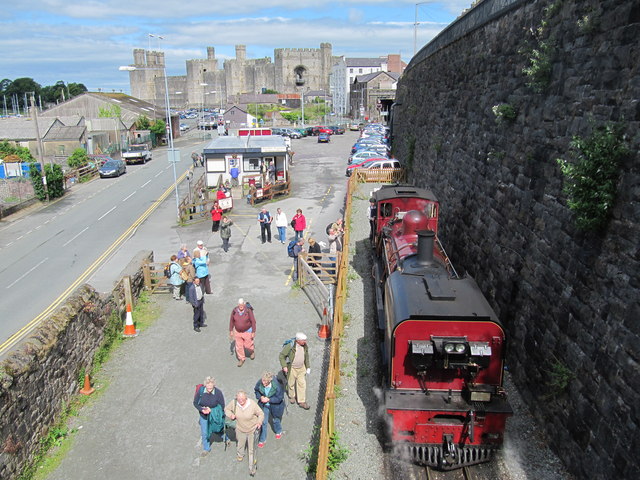
Caernarvon railway station
Caernarvon railway station was a station on the former Bangor and Carnarvon Railway between Caernarfon, Gwynedd and Menai Suspension Bridge near Bangor...

Afon Seiont
Afon Seiont (Welsh, meaning 'River Seiont' in English) is a river in Gwynedd, Wales which runs into the Menai Strait. Its source is the outflow of Llyn...
Nearby Amenities
Located within 500m of 53.147388,-4.2695166Have you been to Yr Hen Erddi (The Old Allotments)?
Leave your review of Yr Hen Erddi (The Old Allotments) below (or comments, questions and feedback).