Tullichewan Muir
Downs, Moorland in Dunbartonshire
Scotland
Tullichewan Muir

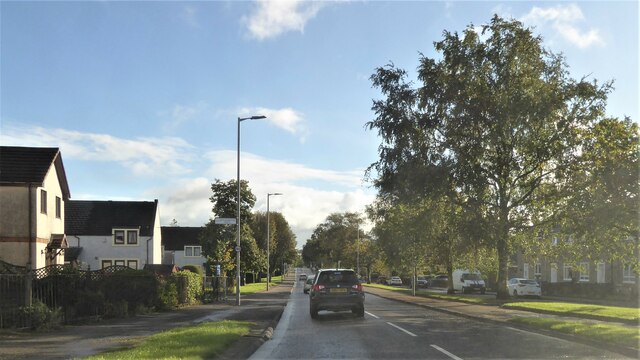
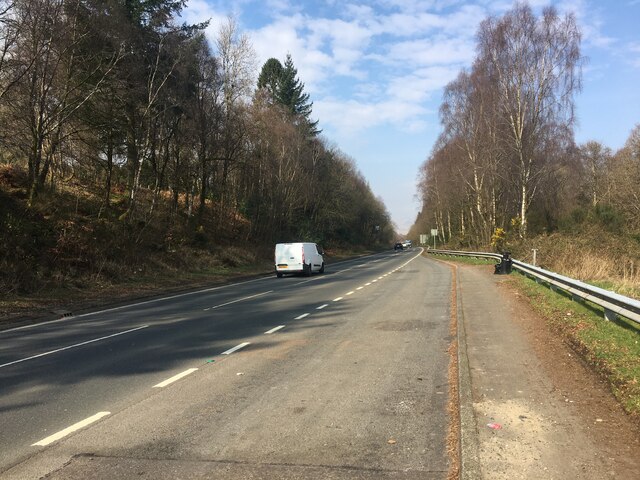
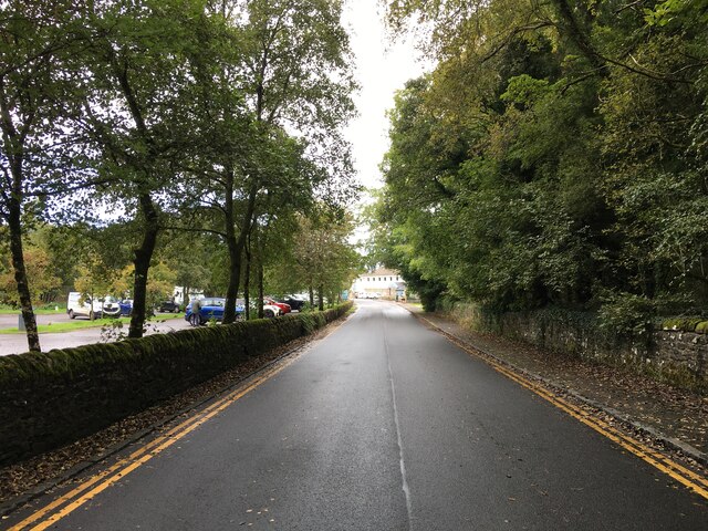
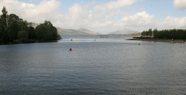
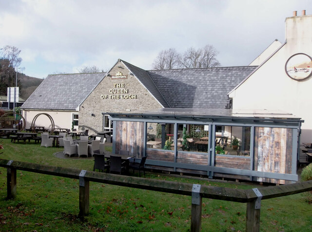
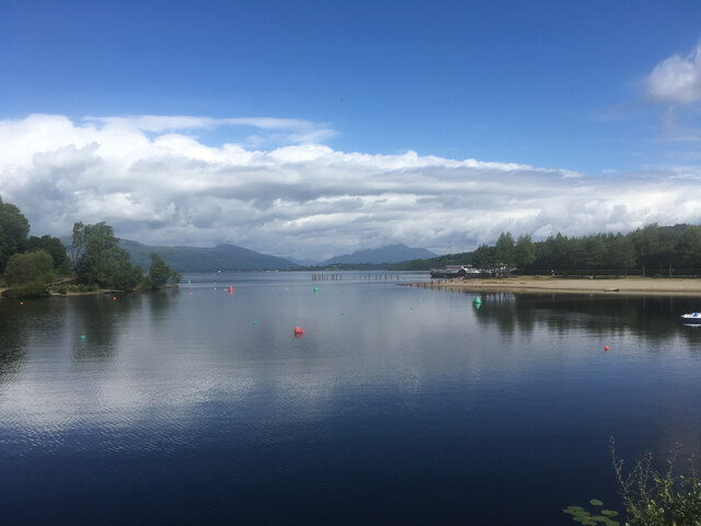
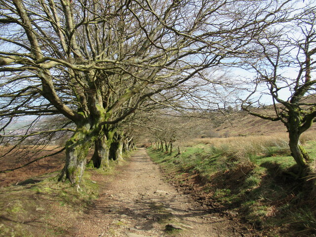
Tullichewan Muir is a vast expanse of moorland located in Dunbartonshire, Scotland. Spread over an area of approximately 600 acres, it is situated to the west of Loch Lomond, near Balloch. The muir is characterized by rolling hills, heather-covered slopes, and patches of dense woodland, providing a diverse and picturesque landscape.
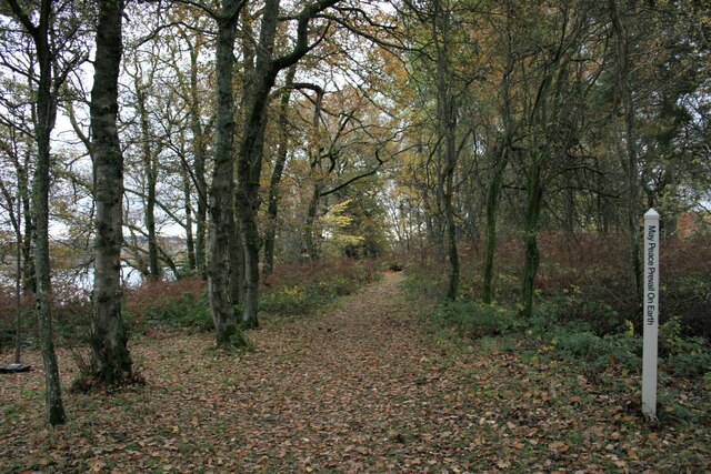
The area is renowned for its natural beauty and is a popular destination for outdoor enthusiasts and nature lovers. Visitors can explore the muir through a network of walking trails that meander through the open countryside, offering stunning panoramic views of the surrounding hills and lochs.
Tullichewan Muir is home to a variety of plant and animal species, some of which are rare and protected. The heather-dominated moorland provides a habitat for birds such as red grouse, skylarks, and meadow pipits, while the woodlands attract species like great spotted woodpeckers and tree creepers. The muir also supports a range of mammals, including red deer, badgers, and foxes.
In addition to its natural features, Tullichewan Muir holds historical significance. The remains of ancient settlements, burial mounds, and standing stones can be found scattered across the landscape, offering a glimpse into the area's rich past.
Overall, Tullichewan Muir is a captivating destination that combines breathtaking scenery, diverse wildlife, and cultural heritage. It provides a tranquil escape from urban life and invites visitors to immerse themselves in the beauty and tranquility of Scotland's moorland.
If you have any feedback on the listing, please let us know in the comments section below.
Tullichewan Muir Images
Images are sourced within 2km of 55.998476/-4.6178962 or Grid Reference NS3681. Thanks to Geograph Open Source API. All images are credited.
![Stone Horse Trough This trough is on the west side of Old Luss Road. It is 2 metres north of a stone walled culvert and approximately 350 metres north of the south entrance to the Cameron House Estate.
It is shown on the Scottish OS map of Dumbartonshire [sic] Sheet nXVIII Revised: 1914, Published: 1923. The trough is therefore in excess of 100 years old.
A comparatively modern inlet pipe ensures that the trough is permanently filled with water.](https://s0.geograph.org.uk/geophotos/07/34/54/7345464_f09fc1bf.jpg)


Tullichewan Muir is located at Grid Ref: NS3681 (Lat: 55.998476, Lng: -4.6178962)
Unitary Authority: West Dunbartonshire
Police Authority: Argyll and West Dunbartonshire
What 3 Words
///shameless.pass.cones. Near Balloch, West Dunbartonshire
Nearby Locations
Related Wikis
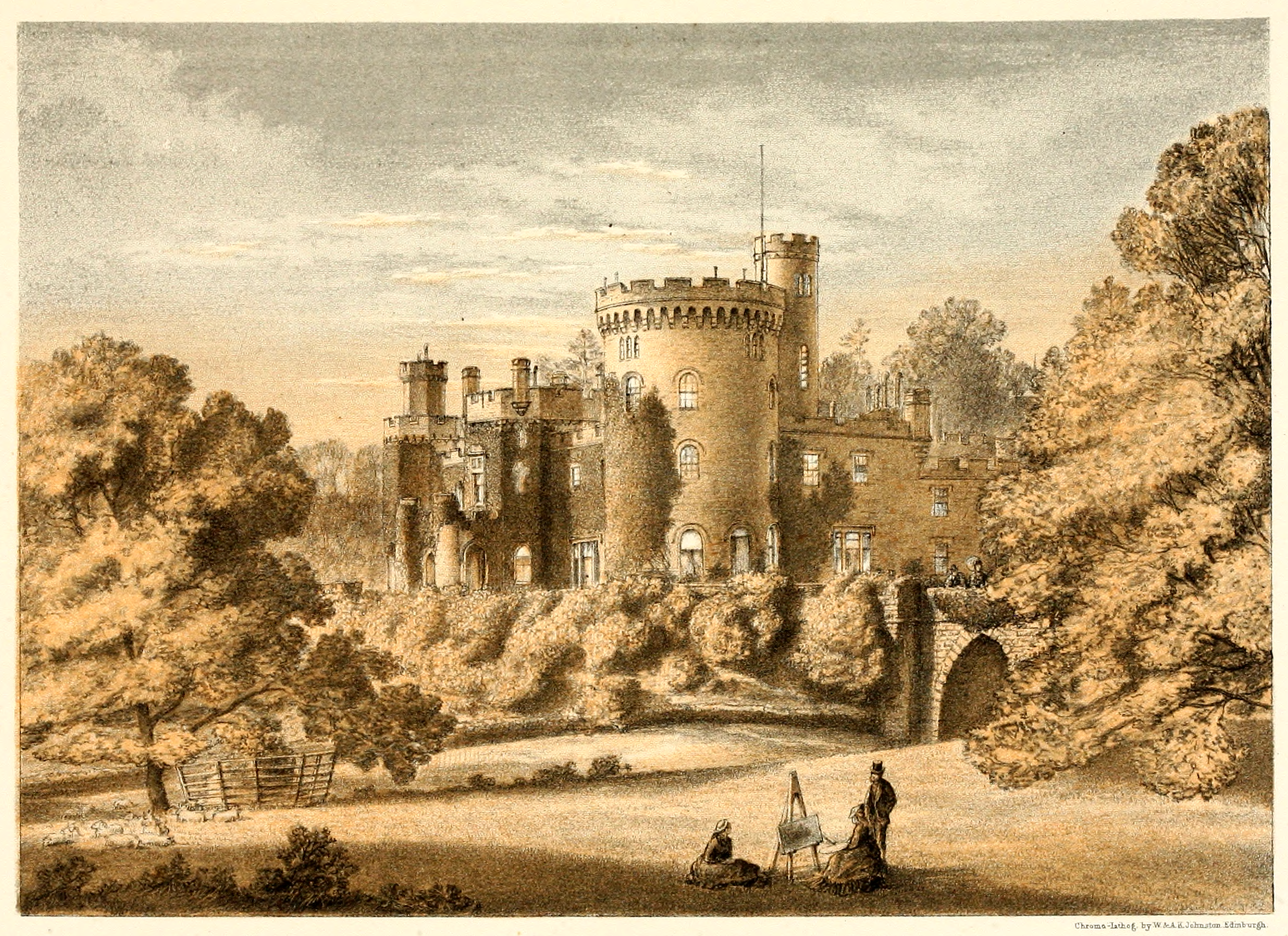
Tullichewan
Tullichewan is a former estate in the Vale of Leven, near Loch Lomond, Scotland. Tullichewan Castle was built in 1792 and demolished in 1954. It was located...

Dumbarton (district)
Dumbarton (Scottish Gaelic: Dùn Breatainn) was, from 1975 to 1996, one of nineteen local government districts in the Strathclyde region of Scotland, covering...

Cameron House
Cameron House, located on Loch Lomond near Balloch, Scotland, was first built in the mid-1700s, and later purchased by Sir James Smollett. The modern...

Vale of Leven Hospital
Vale of Leven District General Hospital or simply the Vale of Leven Hospital is a district general hospital in Alexandria, West Dunbartonshire, Scotland...
Nearby Amenities
Located within 500m of 55.998476,-4.6178962Have you been to Tullichewan Muir?
Leave your review of Tullichewan Muir below (or comments, questions and feedback).