Braeroy Forest
Downs, Moorland in Inverness-shire
Scotland
Braeroy Forest

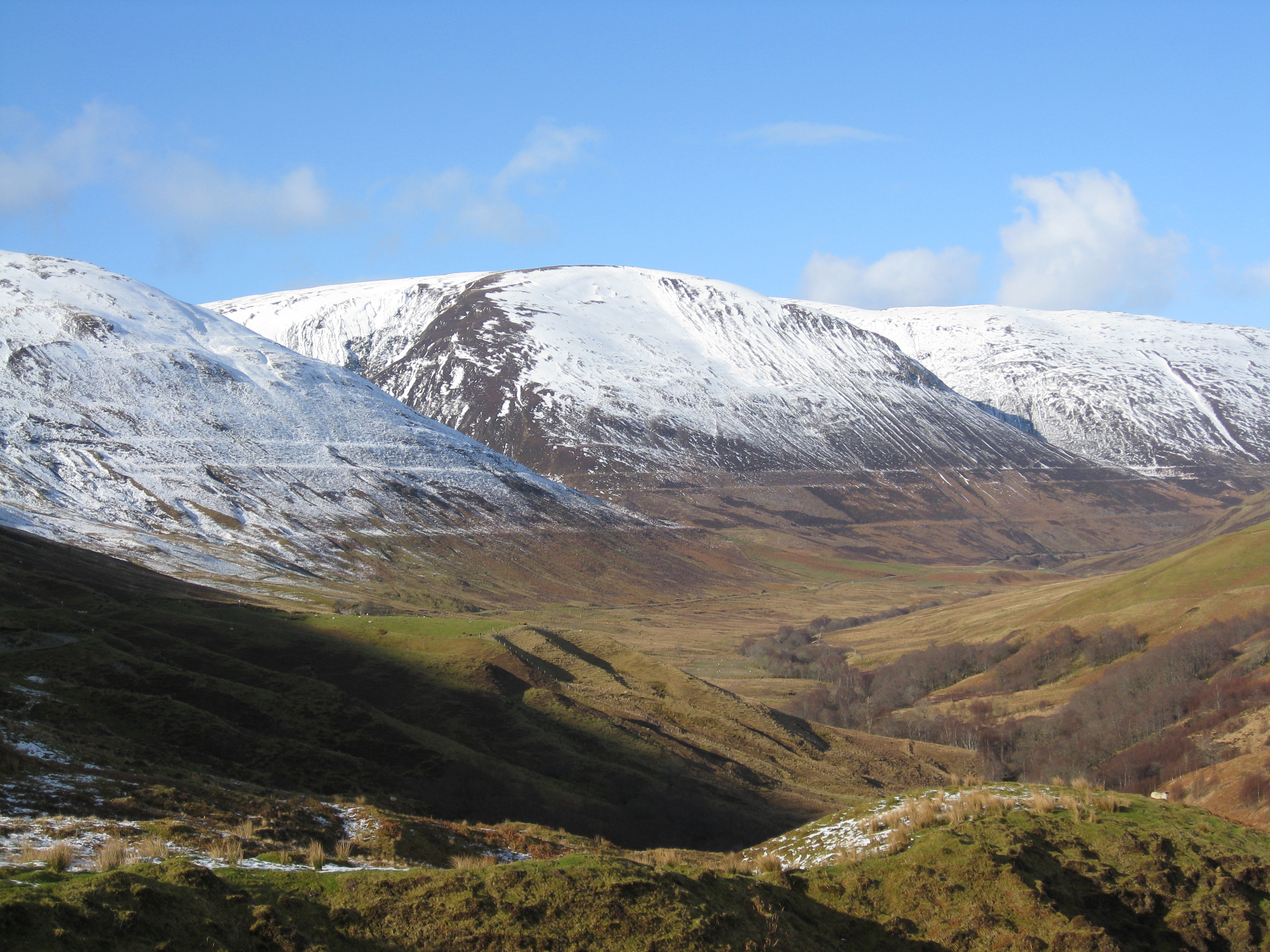
Braeroy Forest is a stunning natural landscape located in Inverness-shire, Scotland. Situated in the western part of the county, it spans a vast area encompassing downs and moorland, offering visitors a diverse and captivating experience.
The forest boasts an impressive array of flora and fauna, making it a paradise for nature enthusiasts. The downs, characterized by rolling hills and panoramic views, provide a serene and picturesque setting. The moorland, on the other hand, offers a wilder and more rugged atmosphere, with its vast expanses of heather and peat bogs.
One of the notable features of Braeroy Forest is its rich biodiversity. The area is home to a variety of plant species, including heather, gorse, and wildflowers, which create a vibrant and colorful landscape. This diversity attracts a range of wildlife, such as red deer, mountain hares, and various bird species. Birdwatchers will be delighted by the opportunity to spot golden eagles, peregrine falcons, and red grouse, among others.
Exploring Braeroy Forest offers visitors a chance to immerse themselves in the natural beauty of the Scottish Highlands. Hiking and walking trails crisscross the area, allowing visitors to explore the downs and moorland at their own pace. The forest also provides a tranquil setting for picnics and peaceful moments of reflection.
Overall, Braeroy Forest in Inverness-shire is a captivating destination for nature lovers, offering a blend of downs and moorland landscapes, diverse flora and fauna, and ample opportunities for outdoor activities and relaxation.
If you have any feedback on the listing, please let us know in the comments section below.
Braeroy Forest Images
Images are sourced within 2km of 56.993418/-4.6859627 or Grid Reference NN3692. Thanks to Geograph Open Source API. All images are credited.


Braeroy Forest is located at Grid Ref: NN3692 (Lat: 56.993418, Lng: -4.6859627)
Unitary Authority: Highland
Police Authority: Highlands and Islands
What 3 Words
///outs.wades.mango. Near Gairlochy, Highland
Nearby Locations
Related Wikis
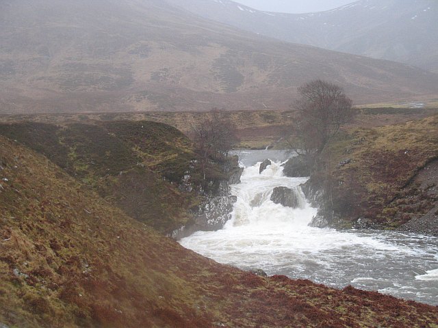
Falls of Roy
Falls of Roy is a waterfall of Scotland. == See also == Waterfalls of Scotland == References ==
Glen Roy
Glen Roy (Scottish Gaelic: Gleann Ruaidh, meaning "red glen") in the Lochaber area of the Highlands of Scotland is a glen noted for the geological phenomenon...

Loch Spey
Loch Spey is a small freshwater loch located in the Central Highlands of Scotland. This loch is significant because it forms the headwaters of the powerful...
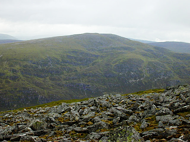
Beinn Teallach
Beinn Teallach (914.6 m) is a mountain in the Grampian Mountains of Scotland, located east of the village of Roybridge in Lochaber. A mostly rounded peak...
Have you been to Braeroy Forest?
Leave your review of Braeroy Forest below (or comments, questions and feedback).