The Lawn
Downs, Moorland in Cornwall
England
The Lawn
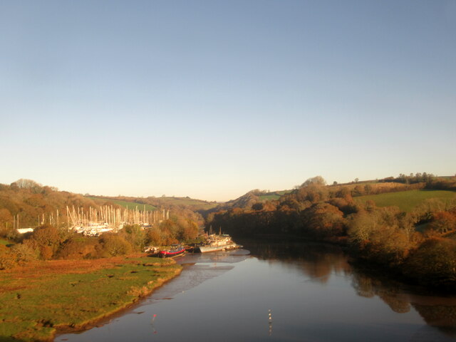
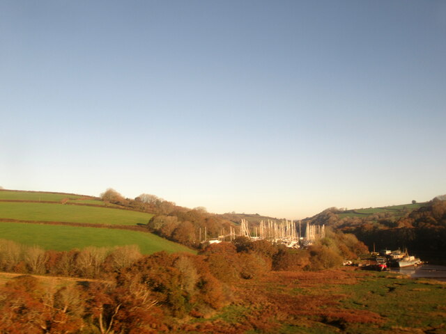
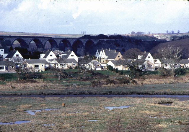
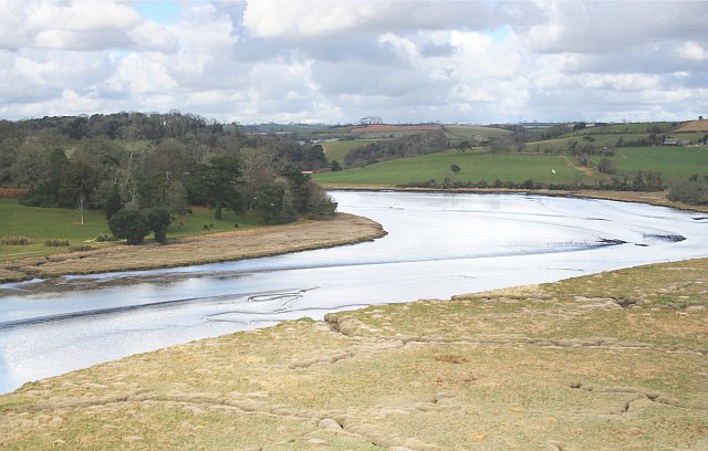
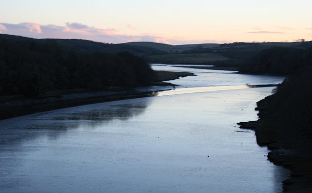
The Lawn, Cornwall, located in the southwestern region of England, is a picturesque area known for its stunning downs and moorland landscapes. Stretching across a vast expanse, this natural marvel offers breathtaking views and a diverse range of flora and fauna.
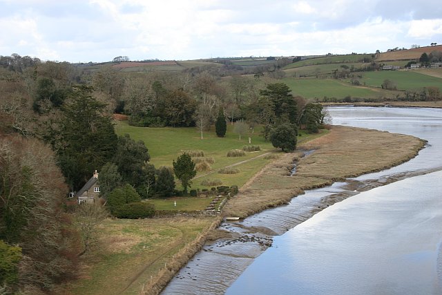
The downs of The Lawn are characterized by their rolling hills covered in lush green grasses. This serene landscape provides a tranquil setting for leisurely walks and picnics. Visitors can enjoy the gentle slopes and panoramic vistas, taking in the beauty of the surrounding countryside.
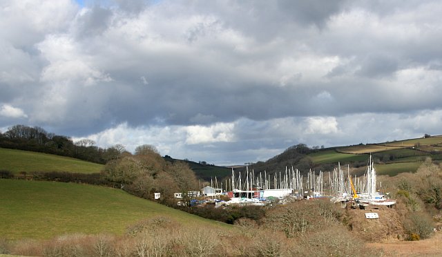
On the other hand, the moorland of The Lawn offers a more rugged and wild setting. Here, visitors can explore the untamed beauty of the open countryside with its vast expanses of heather, gorse, and wildflowers. The moorland is also home to a variety of wildlife, including birds of prey, deer, and smaller mammals.
The Lawn benefits from a mild climate, making it an ideal destination for outdoor activities throughout the year. Hiking, birdwatching, and photography are popular pastimes in this area. Many trails and paths are available for visitors to explore, allowing them to immerse themselves in the natural wonders that The Lawn has to offer.
In conclusion, The Lawn, Cornwall, is a captivating destination that showcases the beauty of downs and moorland landscapes. With its stunning vistas, diverse flora and fauna, and a range of outdoor activities, it is a haven for nature enthusiasts and anyone seeking a peaceful escape in the heart of Cornwall.
If you have any feedback on the listing, please let us know in the comments section below.
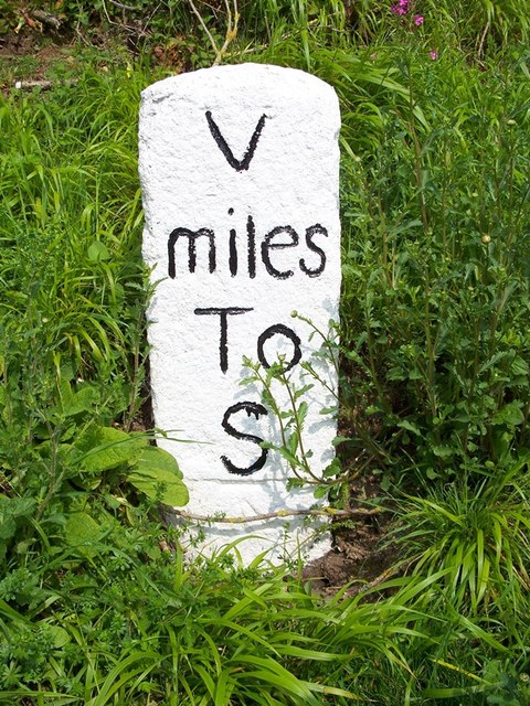
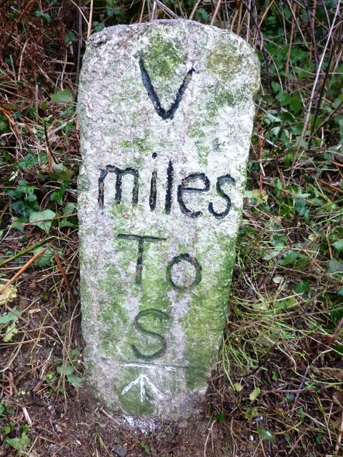
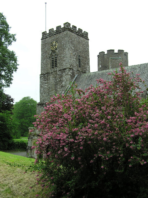
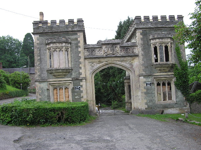
The Lawn Images
Images are sourced within 2km of 50.400227/-4.3088906 or Grid Reference SX3658. Thanks to Geograph Open Source API. All images are credited.
The Lawn is located at Grid Ref: SX3658 (Lat: 50.400227, Lng: -4.3088906)
Unitary Authority: Cornwall
Police Authority: Devon and Cornwall
What 3 Words
///expressed.inhaler.guitars. Near Landrake, Cornwall
Nearby Locations
Related Wikis
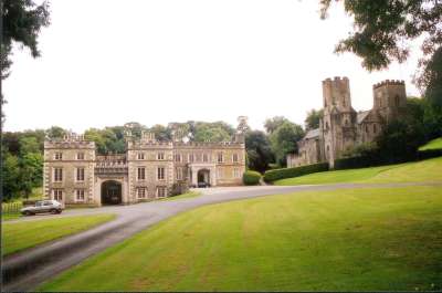
Port Eliot
Port Eliot in the parish of St Germans, Cornwall, England, United Kingdom, is the ancestral seat of the Eliot family, whose present head is Albert Eliot...
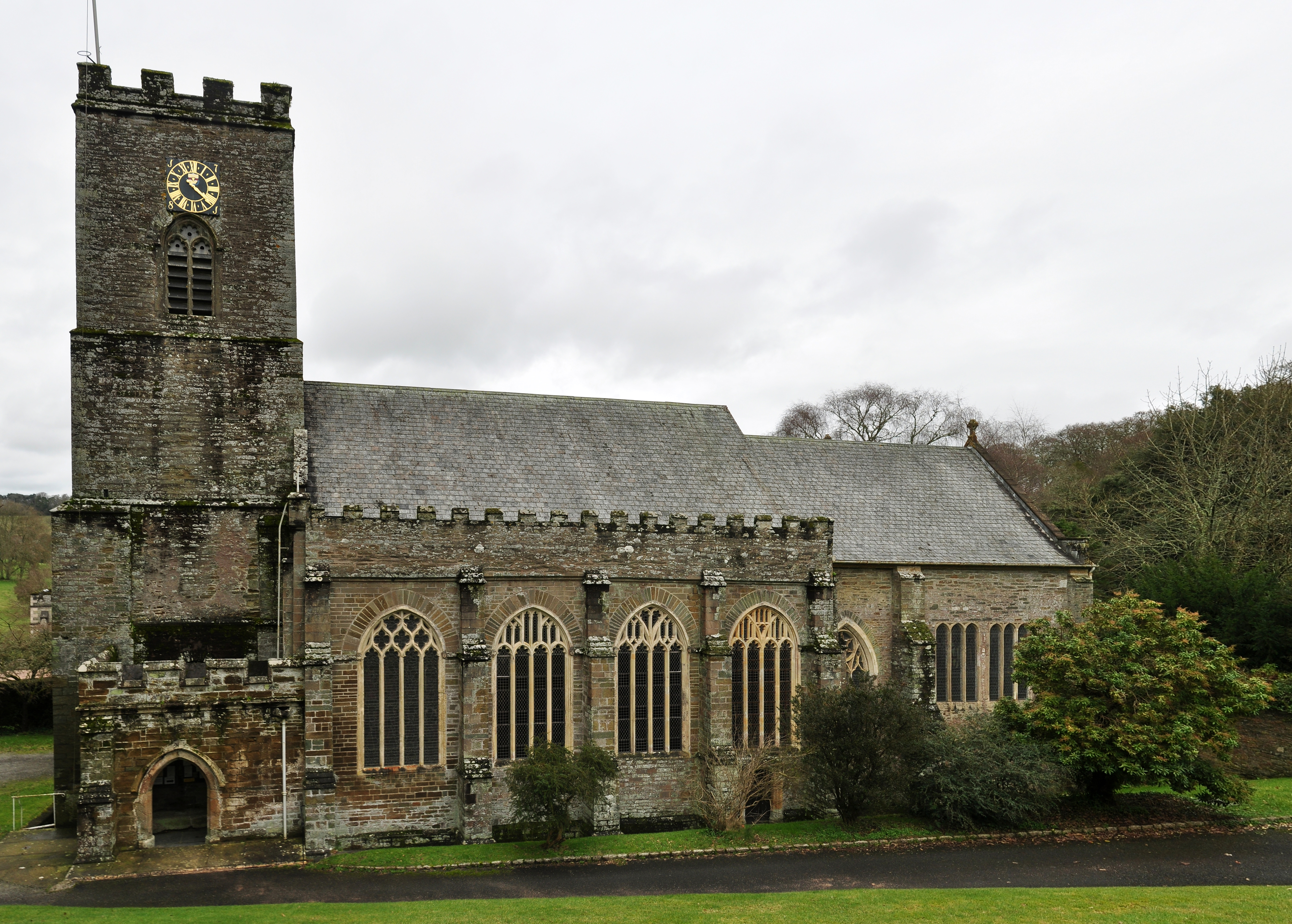
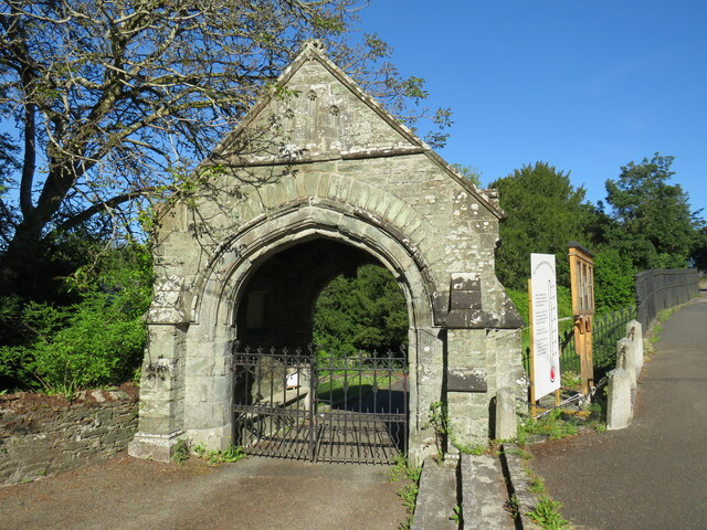
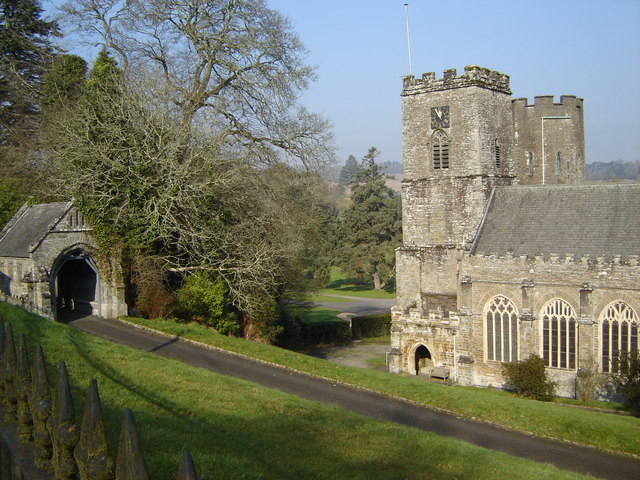
St German's Priory
St Germans Priory is a large Norman church in the village of St Germans in south-east Cornwall, England, UK. == History == According to a credible tradition...
St Germans, Cornwall
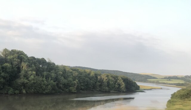
St Germans (Cornish: Lannaled) is a village and civil parish in east Cornwall, England, United Kingdom. It stands on the River Tiddy, just upstream of...

St Germans railway station
St Germans railway station (Cornish: Lannaled) serves the village of St Germans in Cornwall, England. The station is managed by Great Western Railway and...
Nearby Amenities
Located within 500m of 50.400227,-4.3088906Have you been to The Lawn?
Leave your review of The Lawn below (or comments, questions and feedback).