Coille Loch na Mucnaich
Downs, Moorland in Sutherland
Scotland
Coille Loch na Mucnaich
The requested URL returned error: 429 Too Many Requests
If you have any feedback on the listing, please let us know in the comments section below.
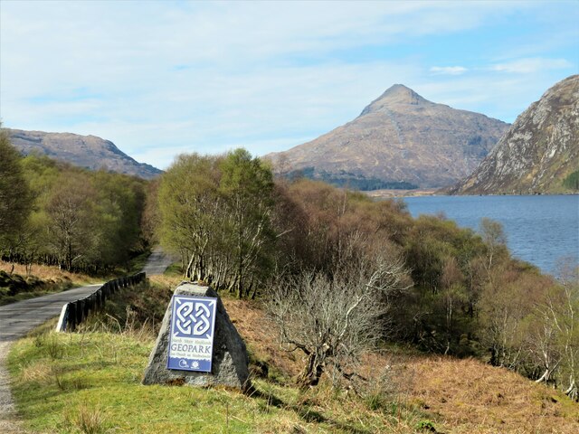
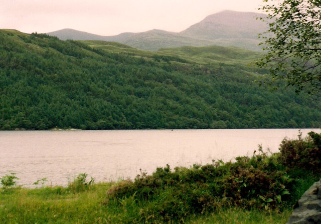
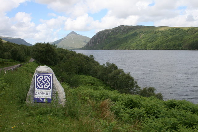
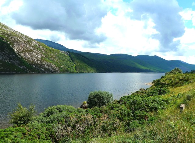
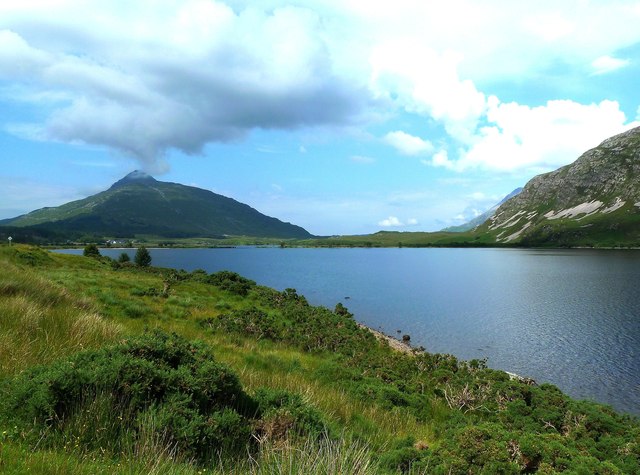
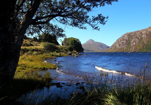
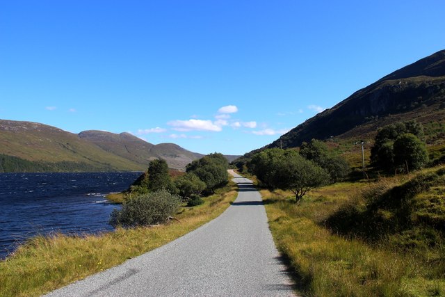
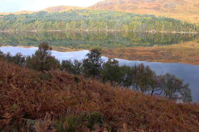
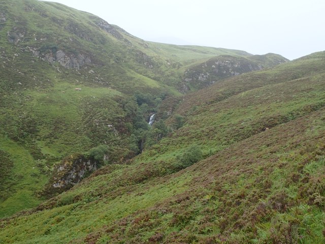
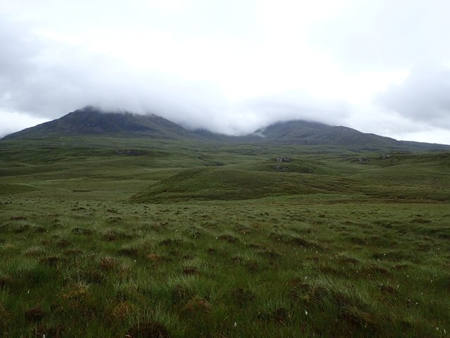
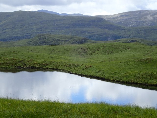
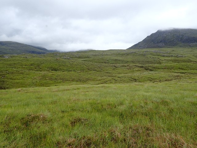
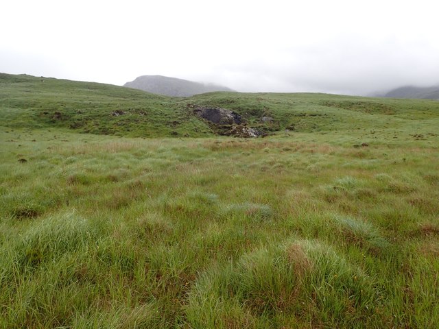
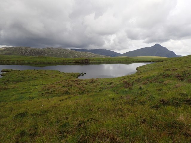
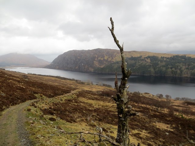
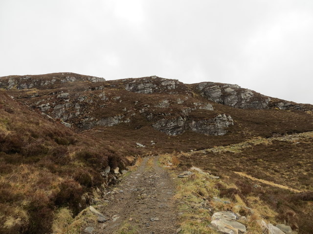
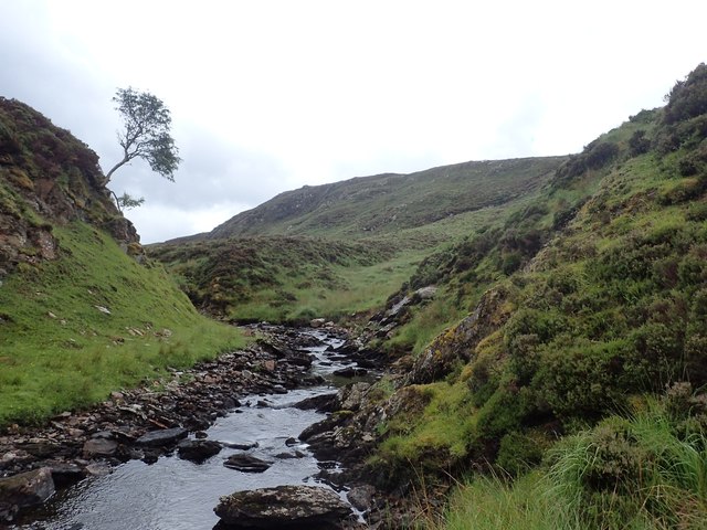
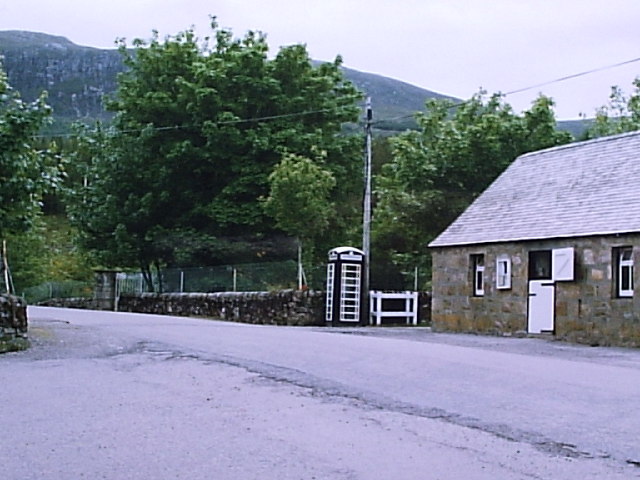
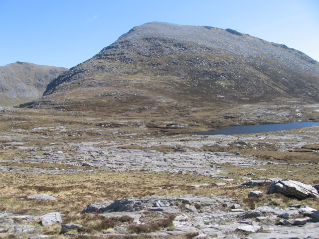
Coille Loch na Mucnaich Images
Images are sourced within 2km of 58.304104/-4.8625767 or Grid Reference NC3238. Thanks to Geograph Open Source API. All images are credited.

Coille Loch na Mucnaich is located at Grid Ref: NC3238 (Lat: 58.304104, Lng: -4.8625767)
Unitary Authority: Highland
Police Authority: Highlands and Islands
What 3 Words
///outermost.cherub.tops. Near Inchnadamph, Highland
Nearby Locations
Related Wikis
Achfary
Achfary (Scottish Gaelic: Achadh Taigh Phairidh) is a hamlet in the Scottish council area of Highland. To the east of the village lies Loch nan Ealachan...
Meallan Liath Coire Mhic Dhùghaill
Meallan Liath Coire Mhic Dhughaill (801 m) is a mountain in the Northwest Highlands, Scotland. It lies in the far north of Scotland between Lairg and Durness...

A838 road
The A838 is a major road in Sutherland, in the Highland area of Scotland. It runs generally northwest from the A836 in the Lairg area to Laxford Bridge...

Eas Creag an Luchda
Eas Creag an Luchda is a waterfall of Scotland. == See also == Waterfalls of Scotland == References ==
Have you been to Coille Loch na Mucnaich?
Leave your review of Coille Loch na Mucnaich below (or comments, questions and feedback).